TagEnvironment(193)
-
 2014-06-01
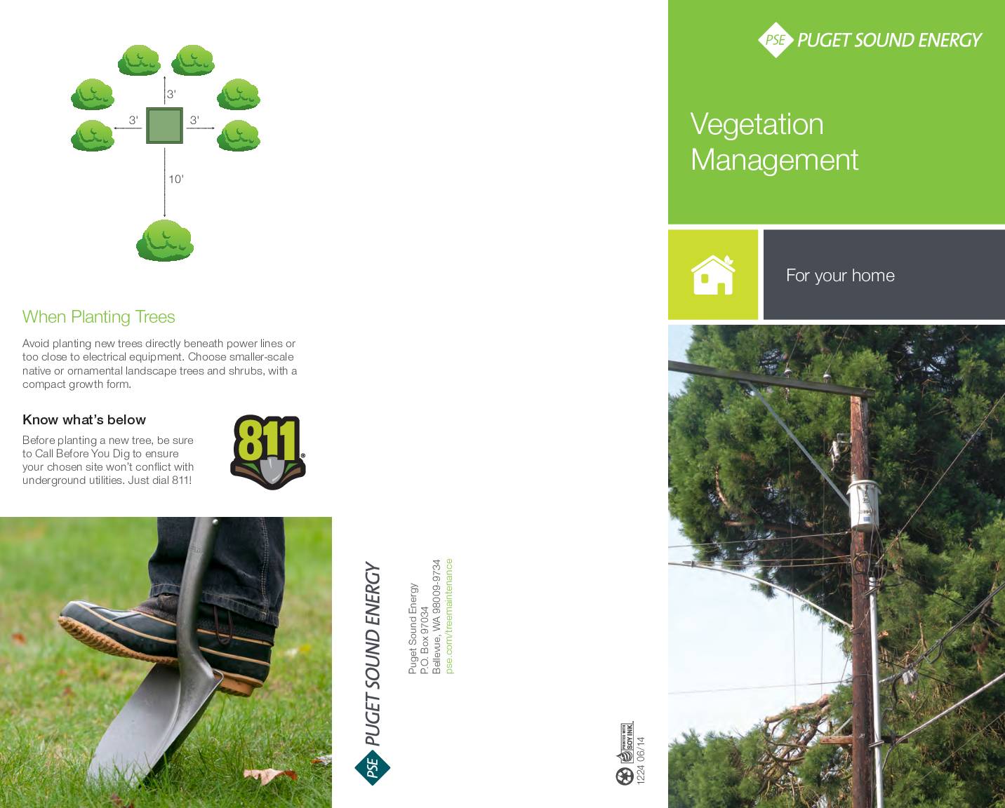
Vegetation management for your home
This Puget Sound Energy brochure explains the company's vegetation management program, which focuses on trimming or removing trees near power lines to prevent outages and maintain reliable electrical service across Washington state. It outlines methods such as selective tree removal and directional pruning, and advises homeowners to avoid planting large trees beneath power lines or near electrical equipment. Residents are encouraged to call 811 before digging and to choose smaller native or ornamental trees suitable for planting near utility infrastructure. -
 2013-10-24
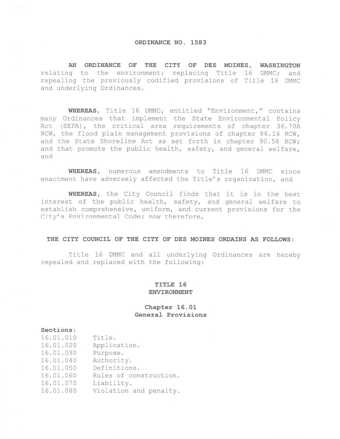
Ordinance No. 1583: An ordinance of the City of Des Moines, Washington relating to the environment
Ordinance No. 1583 is an environmental regulations ordinance from the City of Des Moines, Washington, that replaces and reorganizes the city's Title 16 Environmental Code. It implements state laws covering environmental policy, critical areas, floodplain management, and shoreline protection, while providing definitions and general provisions applicable across all related chapters. -
 2013-05-10
Prominent former Seattle port executive Richard Ford dies
Richard Ford, a Northwest native who rose to prominence as a port executive, attorney and civic leader, died May 5, according to Ford’s family. He was 83. Ford was born in Seattle, grew up in Spokane and graduated from Washington State University, where he met his wife, Nancy Panchot. The couple later moved to the -
 2011-12-08
2008 King County Community Greenhouse Gas Emissions Inventory: “Geographic Plus” Methodology
This 2011 report by the Stockholm Environment Institute estimates King County, Washington's greenhouse gas emissions for 2008 using a 'geographic plus' methodology, covering sources such as transportation, buildings, industry, and waste. Total emissions reached approximately 23.4 million metric tons of CO2 equivalent in 2008, a 5% increase from 2003, with transportation accounting for roughly half of all emissions. The findings were used by King County and its partners to identify major emission sources and develop strategies to meet community greenhouse gas reduction goals. -
 2011-04-01
Periodic review: Continental Airlines Hydrant Fuel System, SeaTac International Airport
A periodic review by the Washington State Department of Ecology’s Toxics Cleanup Program of post-cleanup site conditions at the Continental Airlines Hydrant Fuel System located at SeaTac International Airport, Concourse C and North Satellite. The review evaluates whether cleanup actions conducted under the Model Toxics Control Act (MTCA) are protecting human health and the environment, -
 2011-03-01
Collaboration and Climate Action at the Local Scale
This 2011 doctoral dissertation by Linda Lyshall, submitted to Antioch University's PhD Program in Leadership and Change, examines how local-scale collaboration can drive climate action and environmental policy. The research explores the intersection of leadership, organizational behavior, and sustainability in addressing climate change at the community level. While not specific to Sea-Tac Airport noise policy, it may offer relevant frameworks for understanding collaborative governance and local environmental decision-making. -
 2010-01-01
Port Of Seattle environmental report to the community 2009-2010
The Port of Seattle's 2009–2010 Environmental Report to the Community outlines the port's efforts to become a national leader in environmental and sustainability programs, covering topics such as air quality, water quality, and resource conservation. CEO Tay Yoshitani emphasizes that sustaining the region's 194,000 port-related jobs depends on also sustaining the environment, and highlights how energy-saving efficiencies can reduce costs while benefiting the environment. The report includes environmental metrics for Seattle-Tacoma International Airport and recaps 2010 sustainability initiatives. -
 2009-02-01
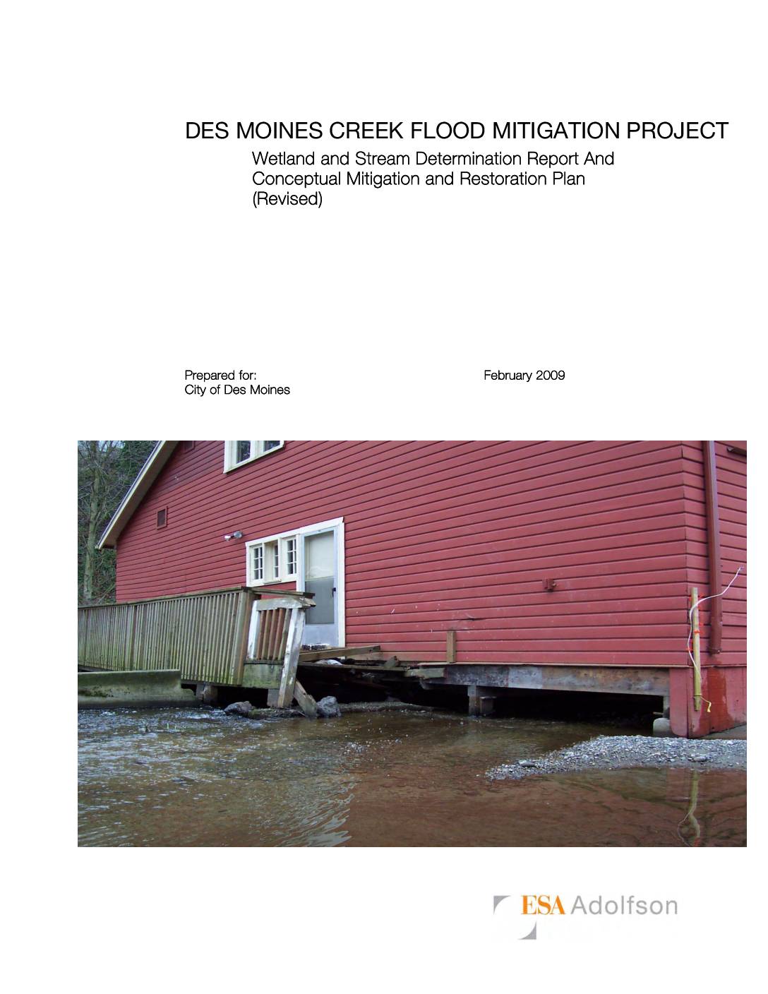
Des Moines Creek Flood Mitigation Project: Wetland and Stream Determination Report and Conceptual Mitigation and Restoration Plan
This 2009 technical report, prepared by ESA Adolfson for the City of Des Moines, Washington, documents wetland and stream conditions along Des Moines Creek as part of a flood mitigation project at Des Moines Beach Park. The park, a National Register Historic District since 2006, contains historic buildings built over or adjacent to the creek that are vulnerable to flood damage. The report outlines wetland delineations, stream boundary determinations, and a conceptual plan to reduce flood risk while addressing environmental mitigation and restoration requirements. -
2007-04-02
Massachusetts v EPA, 549 U.S. 497 (2007)
Annotation Primary HoldingThe Clean Air Act allows the Environmental Protection Agency to regulate greenhouses gases because they qualify as air pollutants. Also, standing requires showing a concrete harm that can be traced to the defendant and remedied by the courts. Read More Syllabus SYLLABUS OCTOBER TERM, 2006 MASSACHUSETTS V. EPA SUPREME COURT OF THE -
 2004-03-15
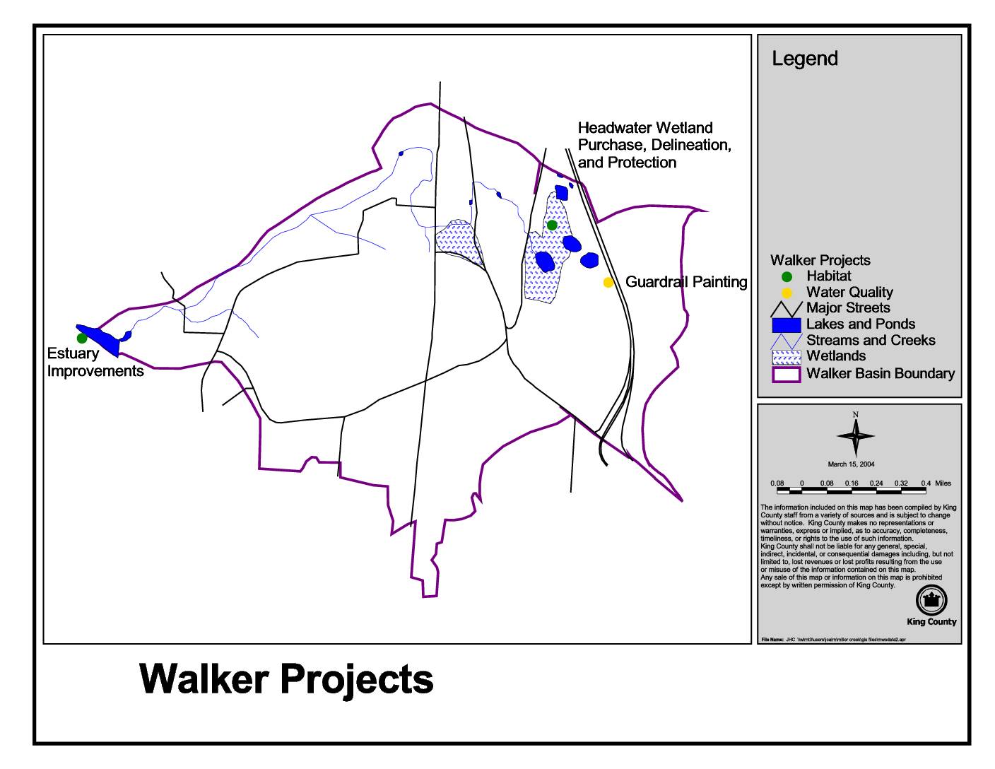
Walker projects
This King County map, dated March 15, 2004, identifies Walker Basin environmental projects including Estuary Improvements, Headwater Wetland Purchase and Protection, and Guardrail Painting. The map highlights key natural features such as lakes, ponds, streams, creeks, and wetlands within the Walker Basin boundary. Projects are categorized by type, including habitat and water quality initiatives, and are plotted against major streets and waterways in the area.