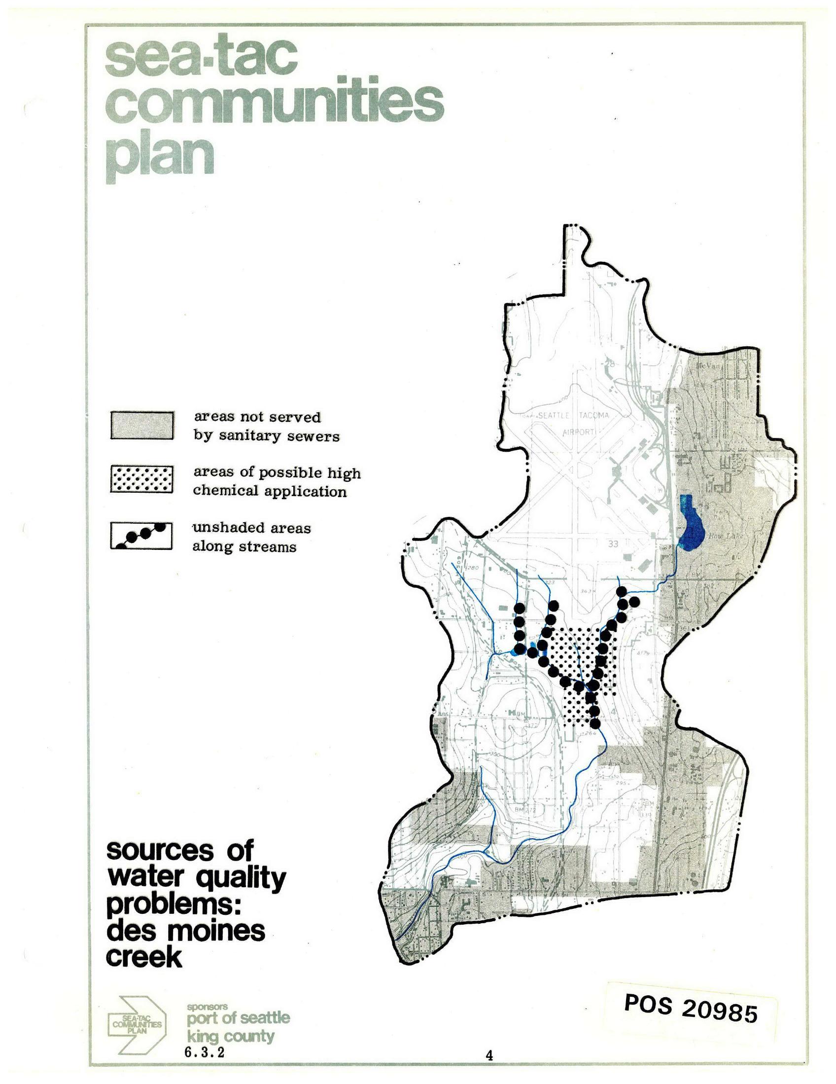
A planning map from the Sea-Tac Communities Plan (document number POS 20985, section 6.3.2), sponsored by the Port of Seattle and King County, identifying sources of water quality problems in Des Moines Creek. The map legend distinguishes areas not served by sanitary sewers, areas of possible high chemical application, and unshaded areas along streams, with the Seattle-Tacoma Airport prominently shown.Open full document
Notes
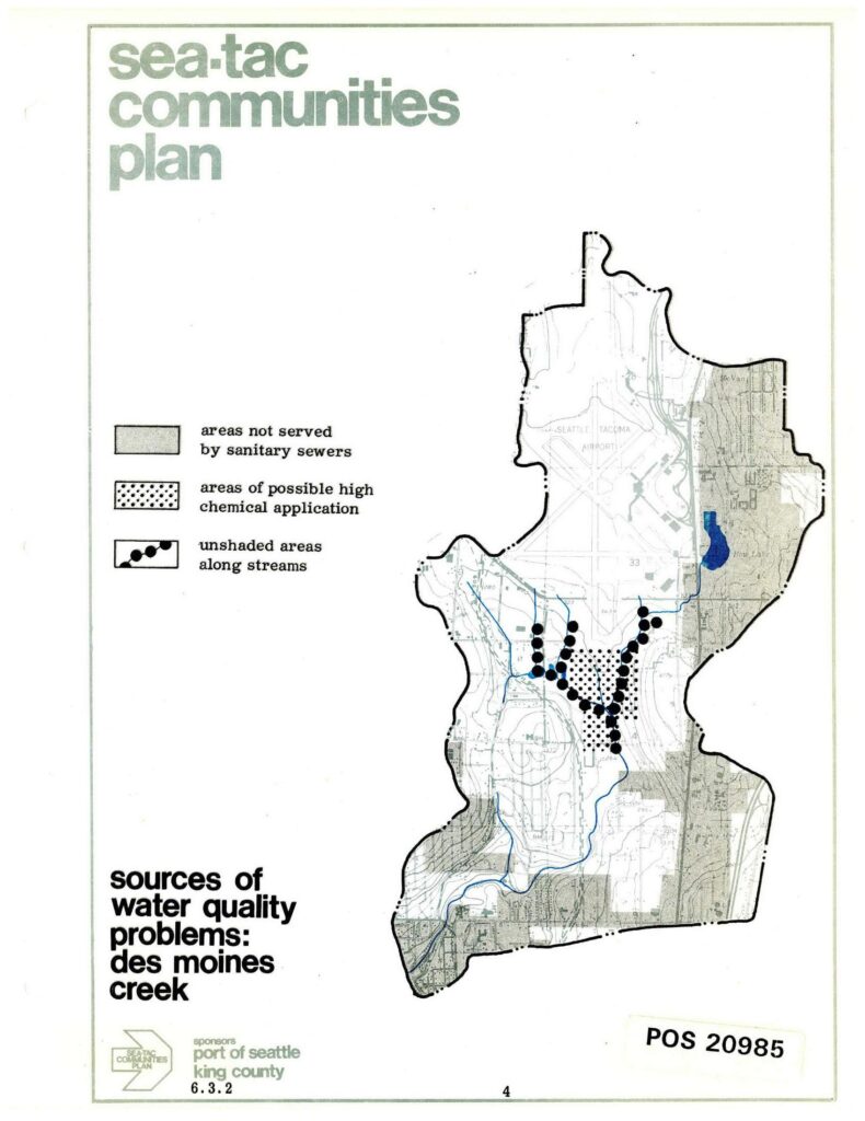
A planning map from the Sea-Tac Communities Plan (document number POS 20985, section 6.3.2), sponsored by the Port of Seattle and King County, identifying sources of water quality problems in Des Moines Creek. The map legend distinguishes areas not served by sanitary sewers, areas of possible high chemical application, and unshaded areas along streams, with the Seattle-Tacoma Airport prominently shown.