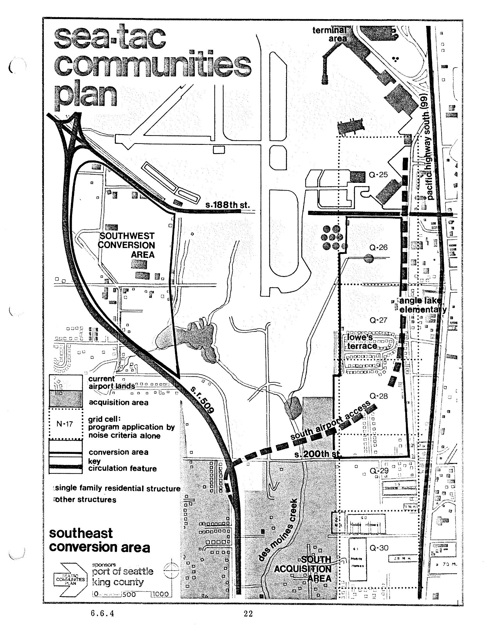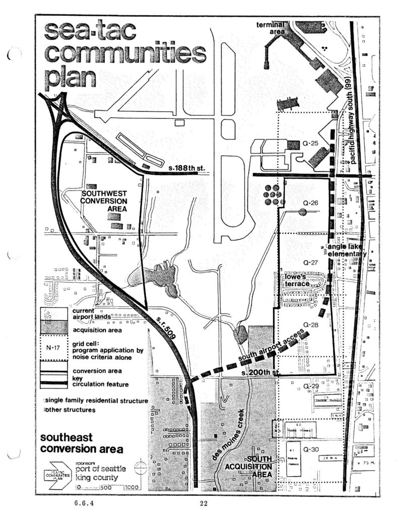
This is page 22 (section 6.6.4) of the Sea-Tac Communities Plan, sponsored by the Port of Seattle and King County. The map depicts the Southeast Conversion Area near Seattle-Tacoma International Airport, showing grid cells, acquisition areas, current airport lands, key circulation features including S.R. 509 and South Airport Access road, and named landmarks such as Angle Lake Elementary, Lowe's Terrace, Des Moines Creek, and street references including S. 188th St. and S. 200th St.Open full document
Notes
This is page 22 (section 6.6.4) of the Sea-Tac Communities Plan, sponsored by the Port of Seattle and King County. The map depicts the Southeast Conversion Area near Seattle-Tacoma International Airport, showing grid cells, acquisition areas, current airport lands, key circulation features including S.R. 509 and South Airport Access road, and named landmarks such as Angle Lake Elementary, Lowe’s Terrace, Des Moines Creek, and street references including S. 188th St. and S. 200th St.