TagAir Quality Monitors(111)
-
 2021-12-01
MATES V draft report, chapter 5: Ultrafine particles and black carbon measurements
This report chapter examines measurements of ultrafine particles (UFPs) — very tiny airborne particles smaller than 0.1 micrometers — and their potential health effects, including risks to neurological, respiratory, and cardiovascular health. UFPs make up roughly 90% of all airborne particles and are primarily produced by fuel combustion sources such as diesel engines, gasoline engines, and jet engines. People living near heavily trafficked roads, airports, refineries, and railyards may face elevated exposure to these particles. -
 2021-01-18
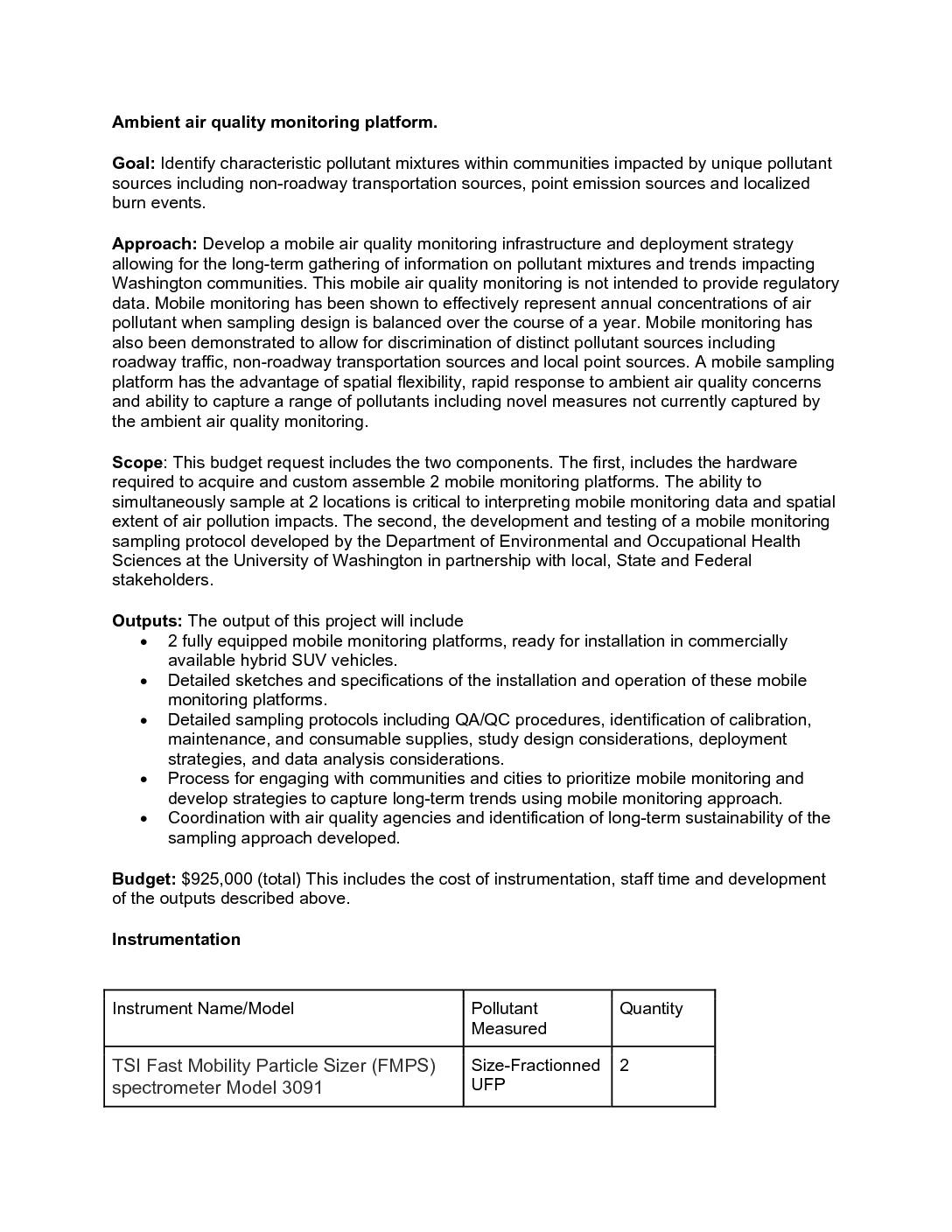
Ambient air quality monitoring platform
The University of Washington's Department of Environmental and Occupational Health Sciences is developing two mobile air quality monitoring platforms to identify pollutant mixtures in Washington communities affected by sources such as non-roadway transportation, industrial emissions, and burn events. The $925,000 project will equip hybrid SUV vehicles with instruments measuring ultrafine particles, black carbon, nitrogen dioxide, carbon monoxide, and other pollutants, enabling flexible and simultaneous monitoring at multiple locations. The project will also produce standardized sampling protocols and community engagement strategies to support long-term air quality trend analysis. -
The Sea-Tac Airport Annual Air Quality Monitoring Proposal (STAAQM)
This post describes a proposal we have put forward to Washington State legislators Senator Karen Keiser (33rd) and Representative Jesse Johnson (30th). In one sentence, we want an annual report of all key aviation-related emissions for every neighborhood affected by the operations from Sea-Tac Airport. We refer to this proposal as Sea-Tac Airport Annual Air -
 2021-01-17
Review of current air monitoring capabilities near refineries in the San Francisco Bay Area
This report, prepared by the Desert Research Institute for the Bay Area Air Quality Management District, reviews air monitoring capabilities near oil refineries in the San Francisco Bay Area. It identifies primary risk drivers — including emissions from normal operations, potential emissions from upset conditions, and fugitive emissions — and evaluates existing monitoring tools to assess both chronic and acute health effects. The study aims to develop an enhanced monitoring matrix to better track refinery emissions and protect nearby communities. -
 2021-01-01
Washington State greenhouse gas emissions inventory: 1990-2018
This January 2021 report from the Washington State Department of Ecology tracks greenhouse gas emissions across Washington State from 1990 to 2018. Published by the Air Quality Program, it provides a comprehensive inventory of the state's emissions data over nearly three decades. Note that this document focuses on statewide air quality and climate data and does not specifically address Sea-Tac Airport noise policy. -
A Letter To Congressman Adam Smith – AQM
The Sea-Tac Annual Air Quality Monitoring Program – a proposal Background Since 1971 there have roughly thirteen ‘studies’ of various air toxins around Sea-Tac Airport. We put the word ‘studies’ in air quotes because almost all of them have been limited either to a single toxin or to a subset of the complete Sea-Tac air -
Letter to electeds on the importance of data collection
This letter is in support of a legislative proposal we have made concerning air quality monitors around Sea-Tac Airport. Senator Keiser, Rep. Orwall, Rep. Johnson. I know how busy you all are. I hope you will take 4 minutes to listen to this very good piece of audio. You can start at about 1:40. https://seatacnoise.info/otm111320_cms1067654_pod/ -
 2020-11-10
Airproofing: Piloting a Strategy for Improving Air Health in East Boston
This presentation outlines the 'Airproofing' pilot project aimed at improving air quality for residents of East Boston, a neighborhood heavily impacted by pollution from nearby Logan Airport. The project, a collaboration between Air Partners, Olin College of Engineering, Aerodyne Research, and community organizations, examines the problem of airport-related air pollution, explores protective solutions for homes and buildings, and describes testing methods and resource needs. While focused on East Boston, the initiative offers a potential model for addressing aviation-related air quality burdens in other airport-adjacent communities. -
A letter to Tina Orwall: Air Quality Monitor Proposal
Hi Rep. Orwall, Thank you for your time on the phone today. BACKGROUND As I said, I have a lot of experience as a consultant with the environmental monitoring and mitigation process of conventional businesses (ie. where NEPA is governed by EPA.) It has always been annoying to me that the airport (being governed by -
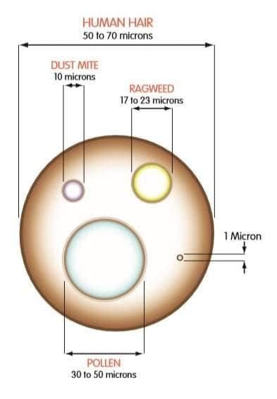
Relative sizes of various allergens
Diagram comparing the sizes of common airborne particles including human hair (50–70 microns), pollen (30–50 microns), ragweed (17–23 microns), dust mite (10 microns), and a 1-micron reference marker. The illustration uses scaled circles to visually represent relative particle sizes, relevant to air quality and filtration contexts.