TagSea-Tac Airport(1855)
-
 2023-08-14
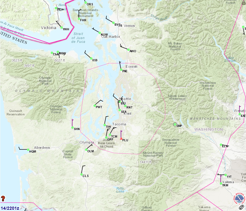
FAA Aviation Weather/Flight Track Map – Seattle-Tacoma Region
An FAA or aviation weather service map dated the 14th at 2201 Zulu, showing airports, airways, and airspace boundaries (including a pink ADIZ/TRACON boundary) across the Seattle-Tacoma metropolitan area and western Washington state. Visible airport identifiers include SEA (Seattle-Tacoma International), BFI (Boeing Field), PAE (Paine Field/Everett), RNT (Renton), TIW (Tacoma Narrows), OLM (Olympia), and numerous others, with a weather.gov watermark visible in the lower right. -
 2023-08-11
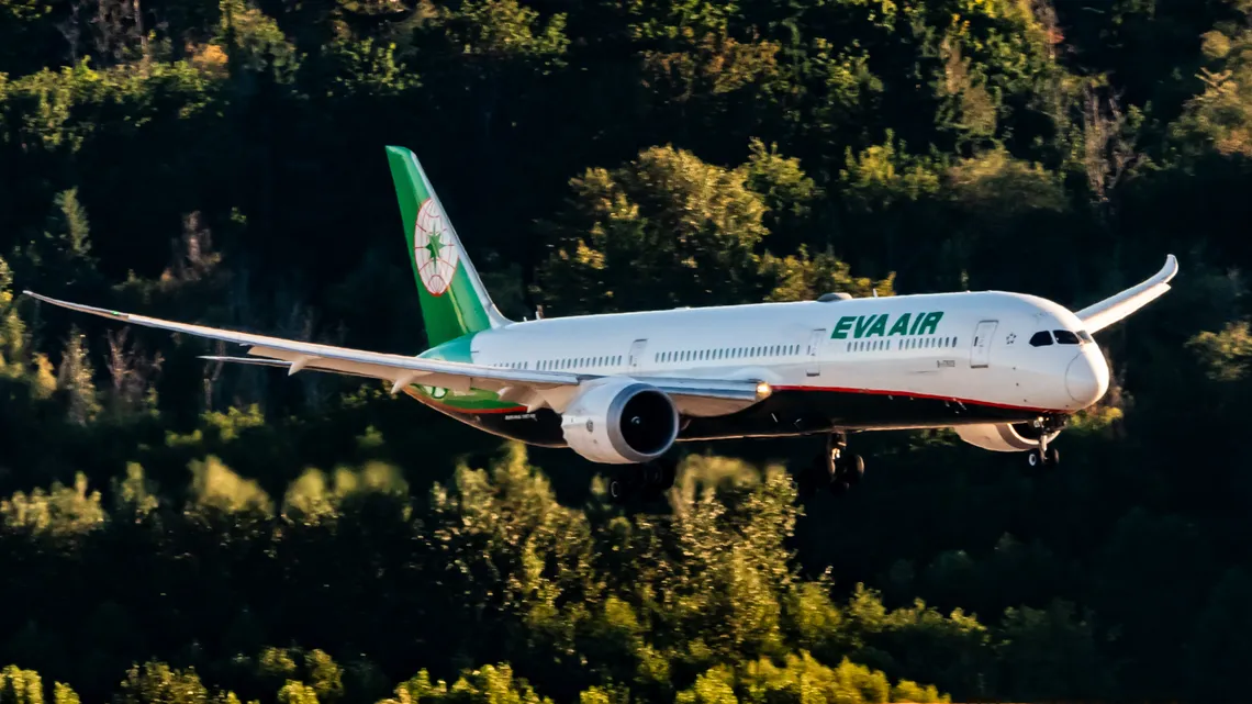
EVA Air Boeing 787-10 on Final Approach to Sea-Tac Airport
An EVA Air Boeing 787 Dreamliner (registration partially visible, B-prefix Taiwanese registry) photographed on final approach with landing gear extended. The aircraft displays EVA Air's distinctive white livery with green tail featuring the airline's star logo, consistent with operations at Sea-Tac Airport where EVA Air operates transpacific routes. -
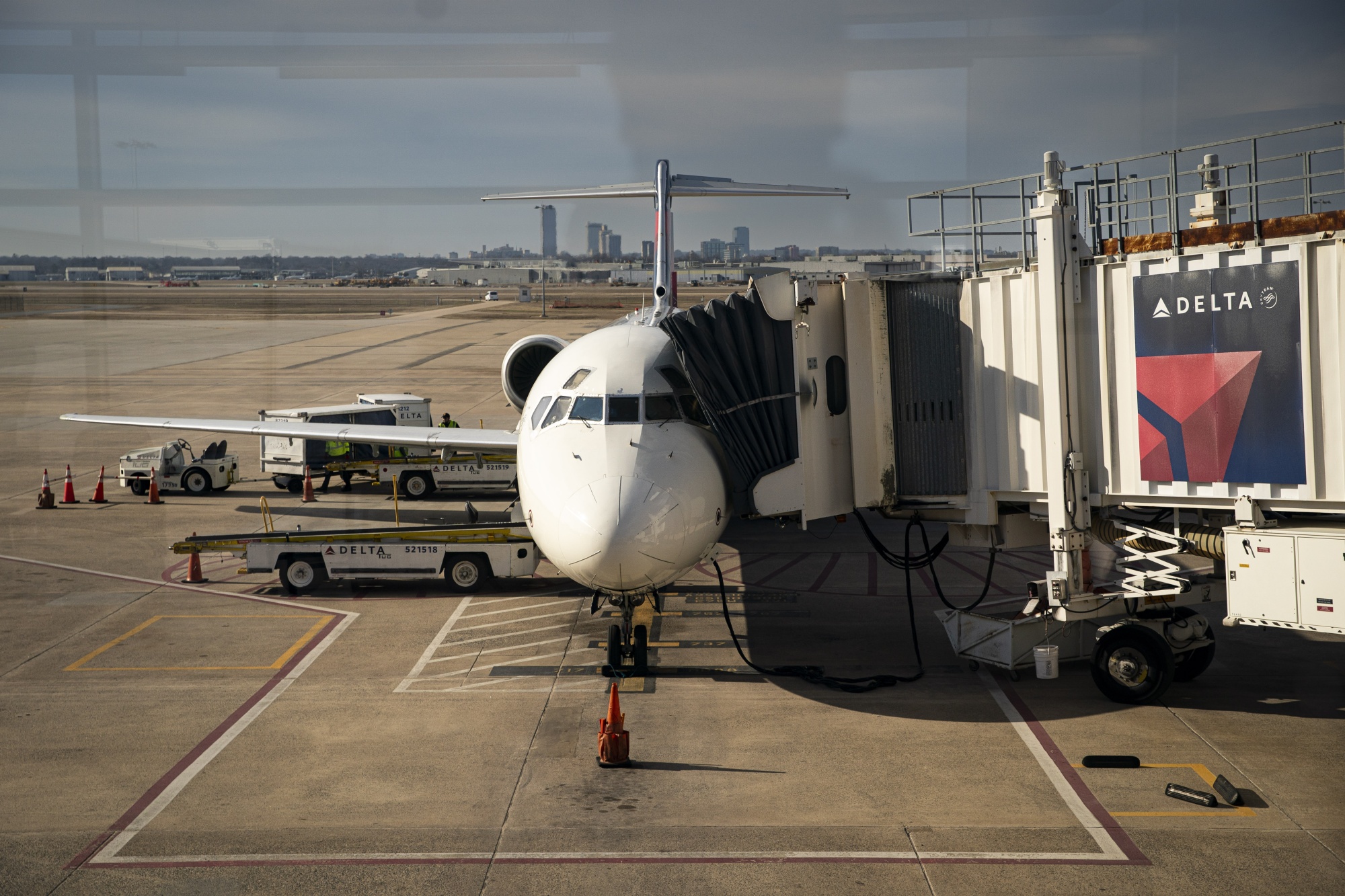
Delta Air Lines Regional Jet at Gate with Ground Support Vehicles
A Delta Air Lines regional jet aircraft is docked at a jet bridge bearing the Delta logo and triangular livery. Ground support vehicles marked 'DELTA' with unit numbers 521518 and 521519 are visible on the tarmac, with a city skyline in the background. -
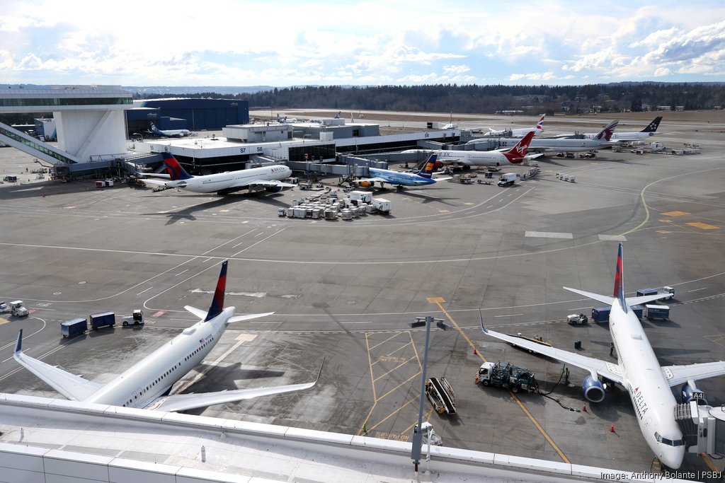
Sea-Tac Airport South Concourse Tarmac With Multiple Airline Gates
An elevated view of the Sea-Tac Airport tarmac showing multiple airlines at gates, including Delta Air Lines (two aircraft in foreground), Virgin Atlantic, Icelandair, and Alaska Airlines liveries visible. The image is credited to photographer Anthony Bolante for the Puget Sound Business Journal (PSBJ), as shown in the watermark. -
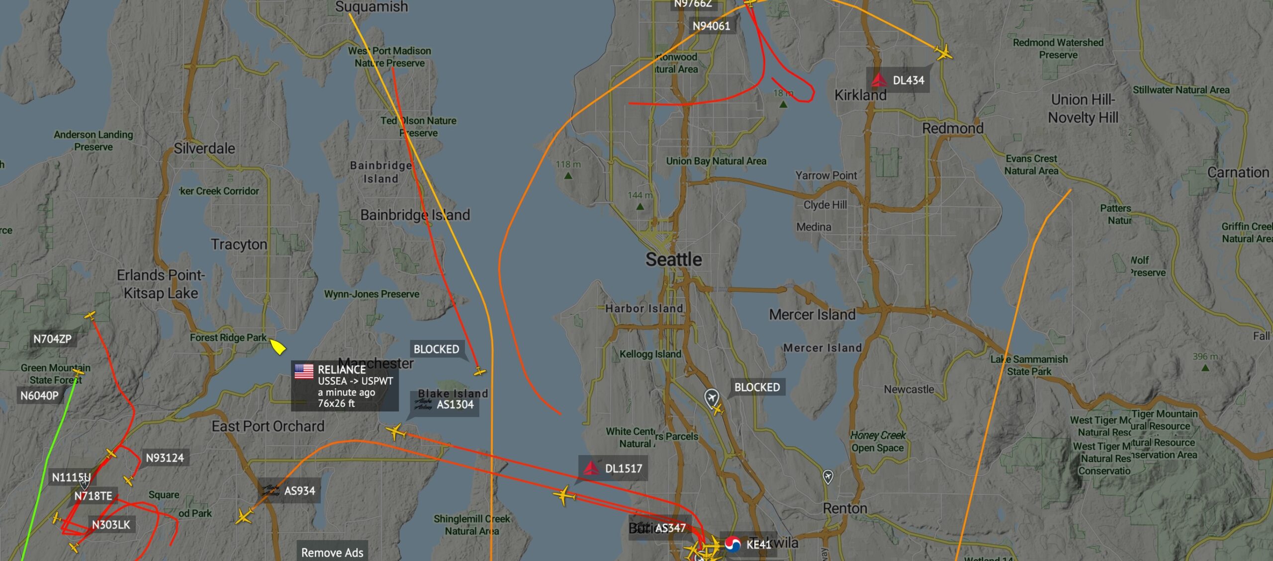
Flight Tracking Map of Seattle Area Aircraft and Blue Angels Flight Path Change
A real-time flight tracking map centered on the Seattle, Washington metropolitan area showing multiple aircraft in flight, including Alaska Airlines flights AS1304, AS934, and AS347; Delta Air Lines flights DL434, DL1517; Korean Air flight KE41; and several general aviation aircraft (N704ZP, N6040P, N1115U, N718TE, N303LK, N93124, N97662, N94061). A popup identifies a vessel named 'RELIANCE' routing USSEA to USPWT, dimensions 76x26 ft, observed approximately one minute prior to the screenshot. -
 2023-07-30
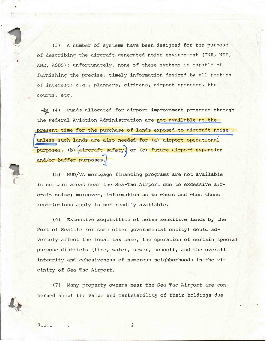
Aircraft noise environment and land use issues near Sea-Tac Airport
This document outlines several key challenges related to aircraft noise near Seattle-Tacoma (Sea-Tac) Airport. It notes that existing noise measurement systems lack the precision needed by planners, residents, and courts, while federal FAA funds cannot be used to purchase noise-affected lands unless they serve specific airport purposes. Additional concerns include restricted HUD/VA mortgage financing in high-noise areas, the potential negative impact on local tax bases if the Port of Seattle acquires large amounts of noise-sensitive land, and widespread property owner anxiety over declining home values and marketability. -
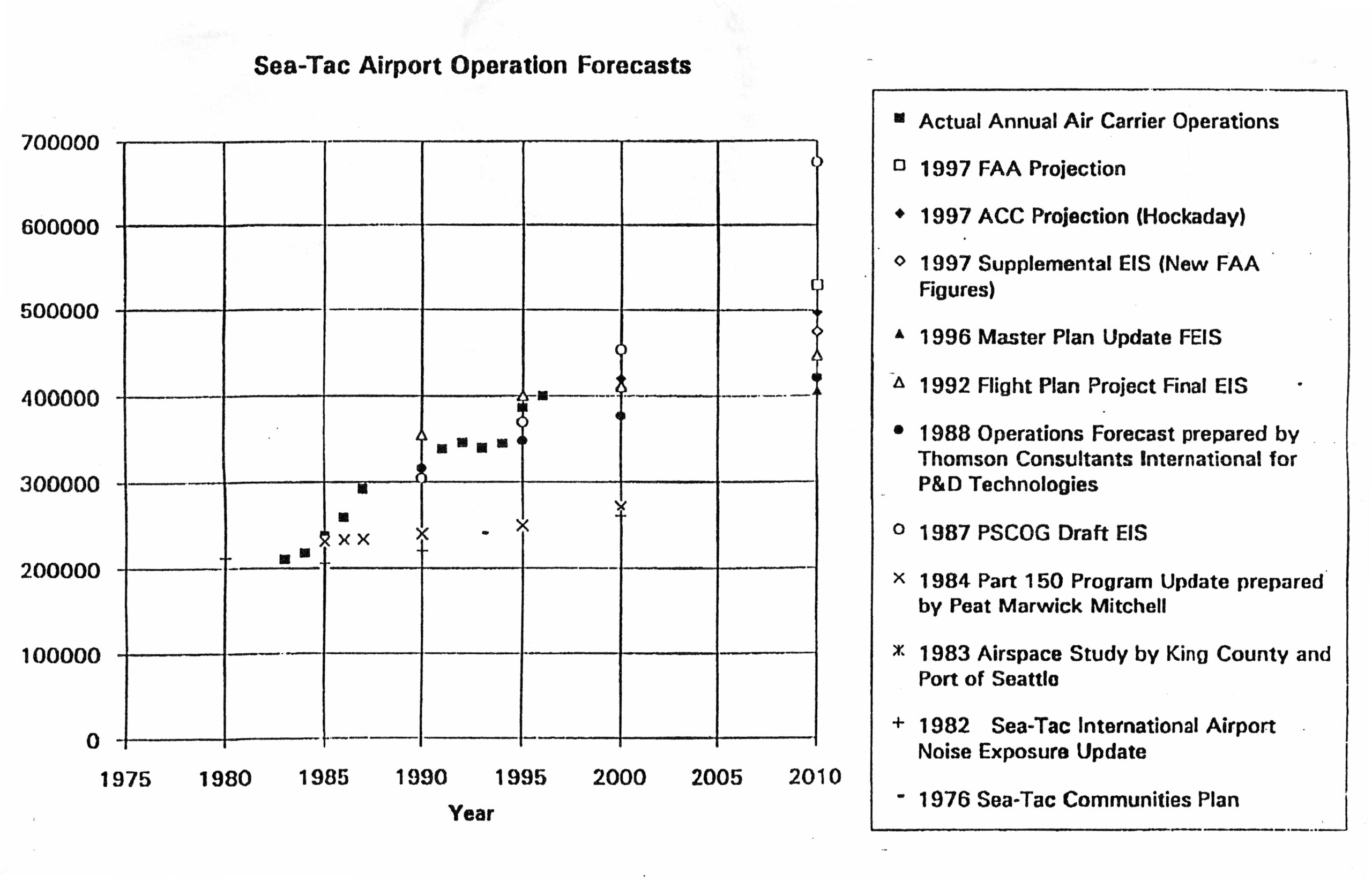
Sea-Tac Airport Comparison of Air Carrier Operations Forecasts vs. Actuals, 1975–2010
A scatter plot comparing multiple historical and projected annual air carrier operations forecasts for Seattle-Tacoma International Airport, spanning approximately 1975–2010. The chart overlays actual operations data against projections from sources including 1997 FAA and ACC (Hockaday) projections, the 1992 Flight Plan Project Final EIS, the 1996 Master Plan Update FEIS, the 1987 PSCOG Draft EIS, and several earlier studies dating back to a 1976 Sea-Tac Communities Plan, illustrating how successive forecasts consistently overestimated growth relative to actual operations. -
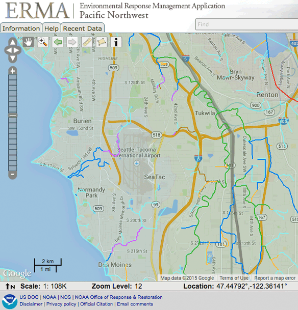
ERMA Sea-Tac Salmon Streams
A screenshot from NOAA's Environmental Response Management Application (ERMA) Pacific Northwest interface, showing a Google-based map centered on the Seattle-Tacoma International Airport (SeaTac) area at zoom level 12, scale 1:108K, at coordinates 47.44792°N, 122.36141°W. Surrounding communities visible include Burien, Tukwila, Renton, Normandy Park, and Des Moines, with overlaid environmental or response-related boundary layers in multiple colors. -
 2023-07-23
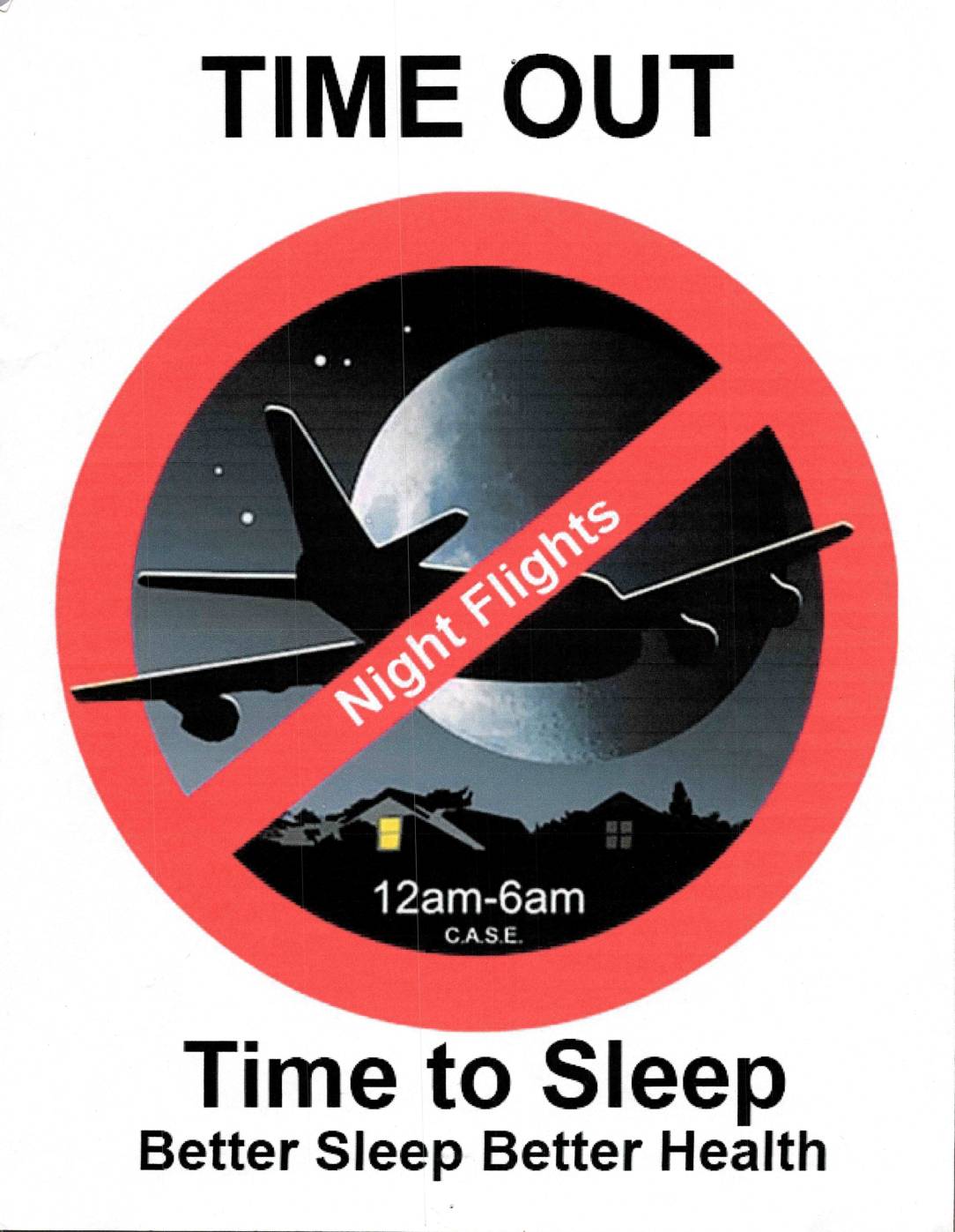
Time Out: Time to Sleep — CASE Night Flights Flyer
This C.A.S.E. (Communities Against Sea-Tac Expansion) campaign poster calls for a ban on night flights over residential neighborhoods between 12am and 6am. Under the slogan 'Time Out,' it argues that eliminating overnight aircraft noise is essential for community health, emphasizing that better sleep leads to better health. The image uses a standard prohibition symbol over a nighttime airplane silhouette to visually reinforce the demand for a quiet curfew period. -
 2023-07-22
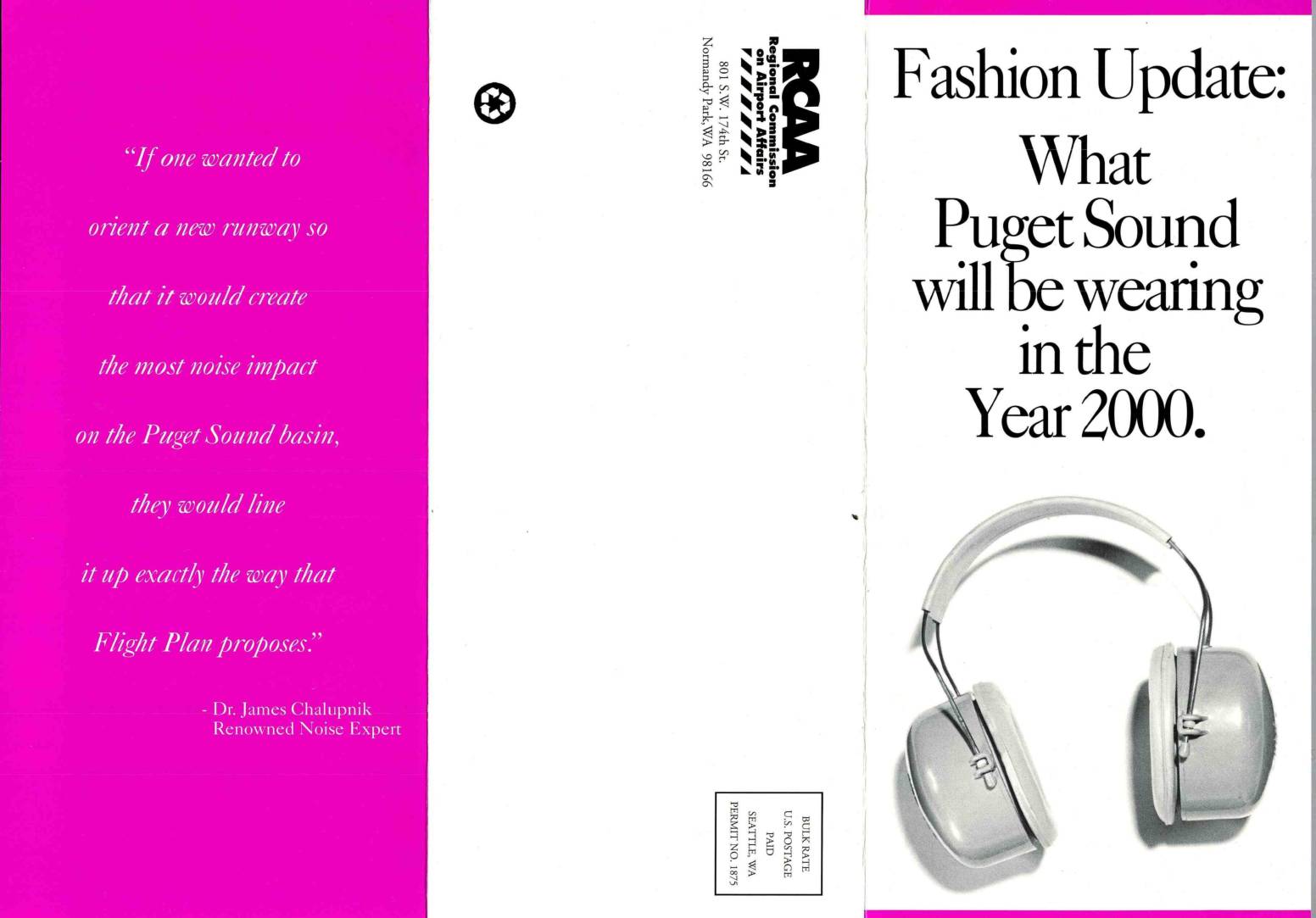
Fashion update: What Puget Sound will be wearing in the year 2000
This brochure, published by the Regional Commission on Airport Affairs (RCAA), argues against the Port of Seattle's 'Flight Plan' proposal to add a third runway at Sea-Tac International Airport. It highlights existing noise burdens on South End communities—where jet noise already averages 65 Ldn and reaches up to 105 decibels—and warns that the expansion would add 120,000 more flights annually by 2020, consuming 12% of residents' daily lives with jet noise. The document cites health experts and a renowned noise specialist, Dr. James Chalupnik, to advocate for alternative solutions such as remote airports and high-speed rail instead of expanding the urban airport.