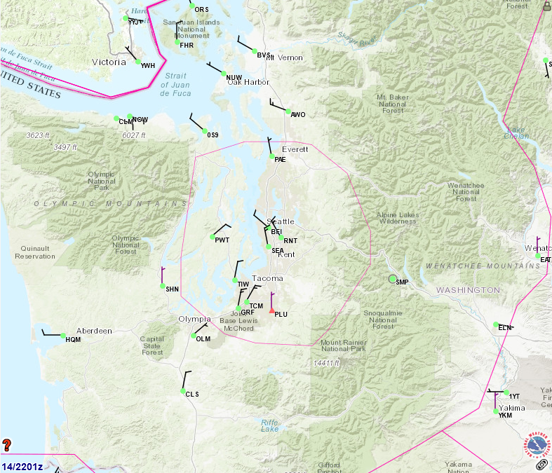
An FAA or aviation weather service map dated the 14th at 2201 Zulu, showing airports, airways, and airspace boundaries (including a pink ADIZ/TRACON boundary) across the Seattle-Tacoma metropolitan area and western Washington state. Visible airport identifiers include SEA (Seattle-Tacoma International), BFI (Boeing Field), PAE (Paine Field/Everett), RNT (Renton), TIW (Tacoma Narrows), OLM (Olympia), and numerous others, with a weather.gov watermark visible in the lower right.Open full document
Notes
An FAA or aviation weather service map dated the 14th at 2201 Zulu, showing airports, airways, and airspace boundaries (including a pink ADIZ/TRACON boundary) across the Seattle-Tacoma metropolitan area and western Washington state. Visible airport identifiers include SEA (Seattle-Tacoma International), BFI (Boeing Field), PAE (Paine Field/Everett), RNT (Renton), TIW (Tacoma Narrows), OLM (Olympia), and numerous others, with a weather.gov watermark visible in the lower right.