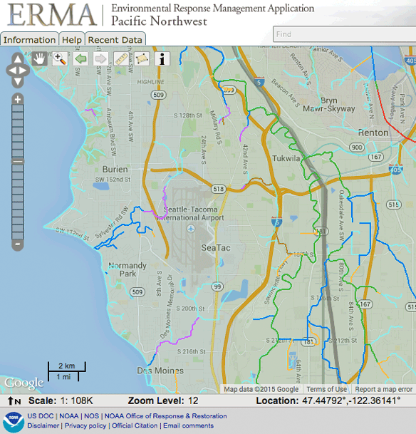
A screenshot from NOAA's Environmental Response Management Application (ERMA) Pacific Northwest interface, showing a Google-based map centered on the Seattle-Tacoma International Airport (SeaTac) area at zoom level 12, scale 1:108K, at coordinates 47.44792°N, 122.36141°W. Surrounding communities visible include Burien, Tukwila, Renton, Normandy Park, and Des Moines, with overlaid environmental or response-related boundary layers in multiple colors.Open full document
Notes
A screenshot from NOAA’s Environmental Response Management Application (ERMA) Pacific Northwest interface, showing a Google-based map centered on the Seattle-Tacoma International Airport (SeaTac) area at zoom level 12, scale 1:108K, at coordinates 47.44792°N, 122.36141°W. Surrounding communities visible include Burien, Tukwila, Renton, Normandy Park, and Des Moines, with overlaid environmental or response-related boundary layers in multiple colors.