TagSea-Tac Airport(1855)
-
 1980-08-01
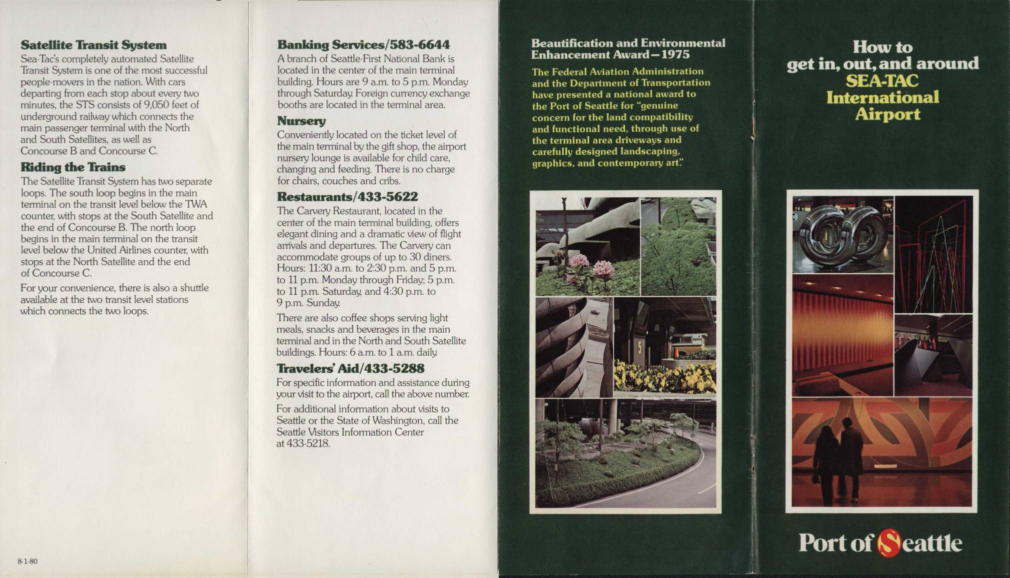
How to Get In, Out, and Around Sea-Tac International Airport
This circa-1980 visitor guide for Seattle-Tacoma (Sea-Tac) International Airport describes the layout and services available to travelers, including the automated Satellite Transit System—an underground railway connecting the main terminal to the North and South Satellites and Concourses B and C. The brochure covers amenities such as banking, dining, a nursery lounge, and Travelers' Aid, and includes a terminal map showing airline gate assignments and ground transportation options. It also notes that the Port of Seattle received a 1975 Federal Aviation Administration award for its attention to land compatibility, landscaping, and contemporary art throughout the airport. -
 1980-05-28
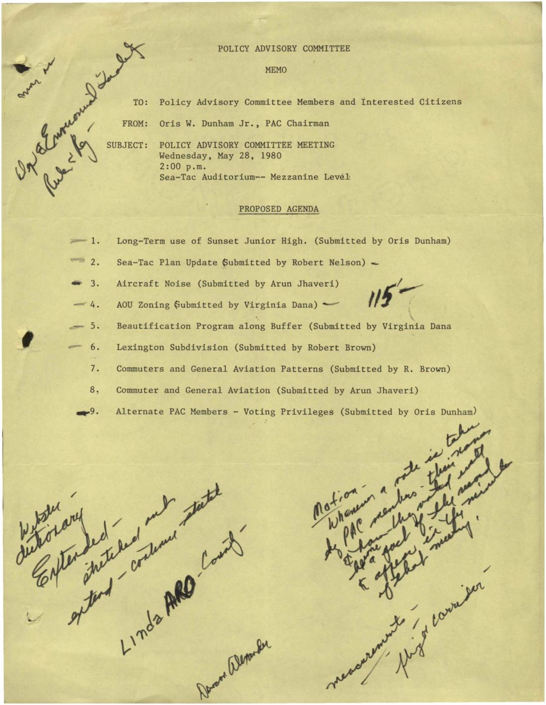
Policy Advisory Committee Meeting Agenda, May 28, 1980
This is a Policy Advisory Committee (PAC) meeting agenda memo from May 28, 1980, chaired by Oris W. Dunham Jr. and addressed to PAC members and interested citizens. The meeting, held at the Sea-Tac Airport Mezzanine, covered topics including aircraft noise, commuter and general aviation patterns, AOU zoning, and a beautification program along the airport buffer zone. Handwritten notes on the document suggest motions and discussions took place regarding PAC member voting privileges and flight path measurements. -
 1980-04-09
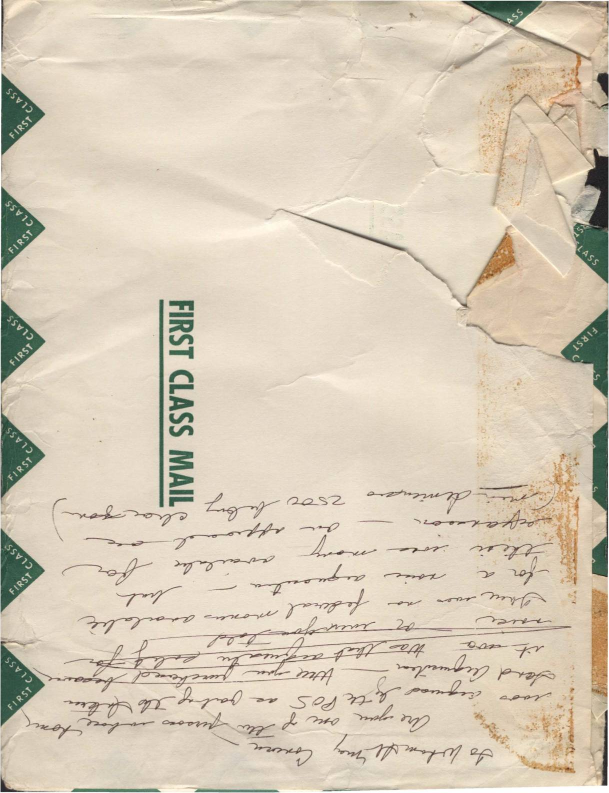
Port Of Seattle envelope addressed to Virginia Dana
A First Class Mail envelope sent from the Port of Seattle (P.O. Box 1209, Seattle, WA 98111) to Ms. Virginia Dana at 2648 S. 142nd Street, Seattle, Washington 98168, postmarked April 1980. The back of the envelope contains handwritten notes referencing federal funds, arguments about noise or airport-related matters, and mentions of purchasing or acquiring something through the Port of Seattle. The document appears to relate to community correspondence concerning Sea-Tac Airport noise policy or related compensation discussions. -
 1980-03-14
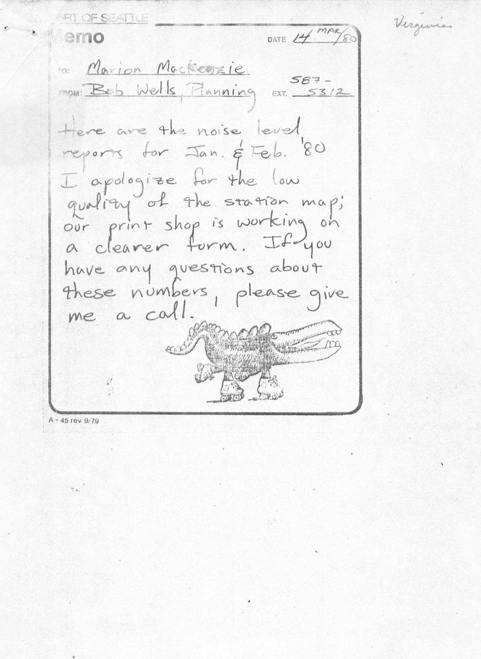
Sea-Tac Airport Noise Monitoring System Report: January–February 1980
A March 1980 internal memo from Bob Wells of the Planning department transmits Noise Monitoring System reports for January and February 1980 to Marion MacKenzie, noting that the station map quality is poor while a clearer version is being prepared. The accompanying report for Sea-Tac International Airport shows monthly and long-term average Day-Night Sound Level (LDN) readings across nine remote monitoring stations, with January 1980 values ranging from 73 to 84 dBA. Operational notes indicate that 58% of January air traffic flew north to south, heavy snowfall forced a brief airport closure on the 8th–9th, and two minor clock failures in the monitoring system were corrected without any loss of noise data. -
 1979-09-20
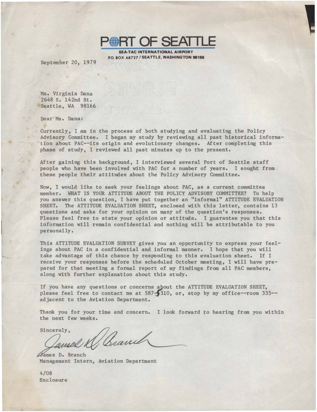
Letter to Virginia Dana regarding Policy Advisory Committee attitude evaluation
A September 1979 letter from Port of Seattle Management Intern James D. Branch to Virginia Dana, a member of the Policy Advisory Committee (PAC) at Sea-Tac International Airport, requesting her participation in a confidential attitude survey about the committee. Branch explains that he has been studying PAC's history, reviewing past minutes, and interviewing Port staff, and is now seeking input directly from current committee members via a 13-question evaluation sheet. Responses received before the October meeting would be compiled into a formal report of findings from all PAC members. -
 1979-08-17
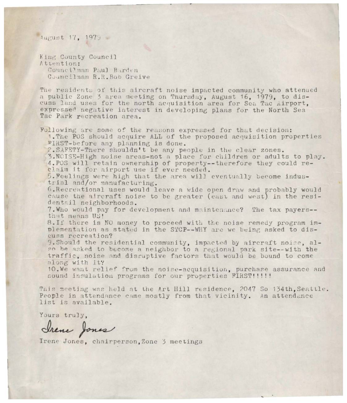
Letter to King County Council Regarding North Sea-Tac Park Recreation Area
In an August 17, 1979 letter to the King County Council, Irene Jones, chairperson of Zone 3 meetings, conveyed strong opposition from local residents to developing a recreational park in the North Sea-Tac area near the airport. Attendees at a public meeting cited safety concerns, high noise levels, and potential tax burdens as reasons against the park plan, arguing that the land should first be fully acquired by the POS before any development is considered. Residents emphasized that their top priority was relief through noise-acquisition, purchase assurance, and sound insulation programs for their existing properties. -
 1979-08-11
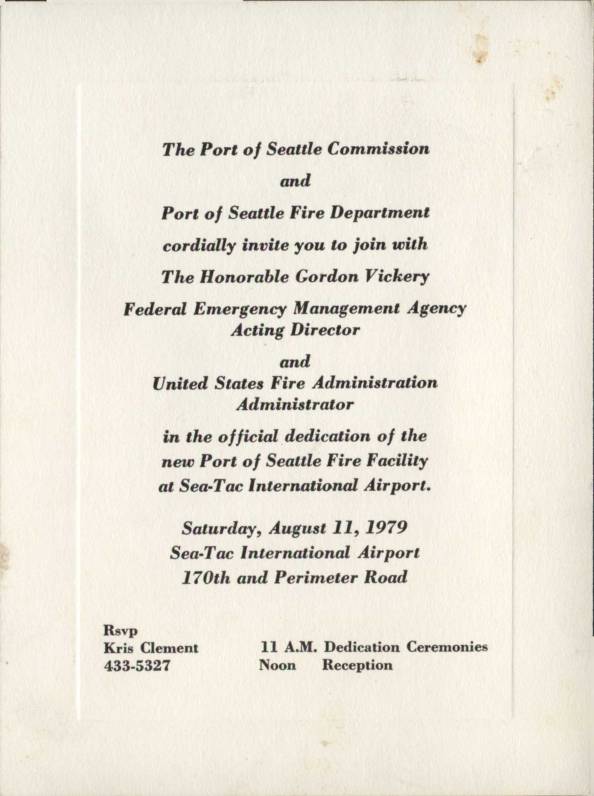
Invitation: Dedication of New Port Of Seattle Fire Facility at Sea-Tac International Airport
This is a formal invitation from the Port of Seattle Commission and Port of Seattle Fire Department to the official dedication of a new fire facility at Sea-Tac International Airport, held on Saturday, August 11, 1979. The event featured Gordon Vickery, Acting Director of the Federal Emergency Management Agency and Administrator of the United States Fire Administration, as a distinguished guest. Dedication ceremonies were scheduled for 11 A.M., followed by a noon reception at the airport's 170th and Perimeter Road location. -
 1979-07-30
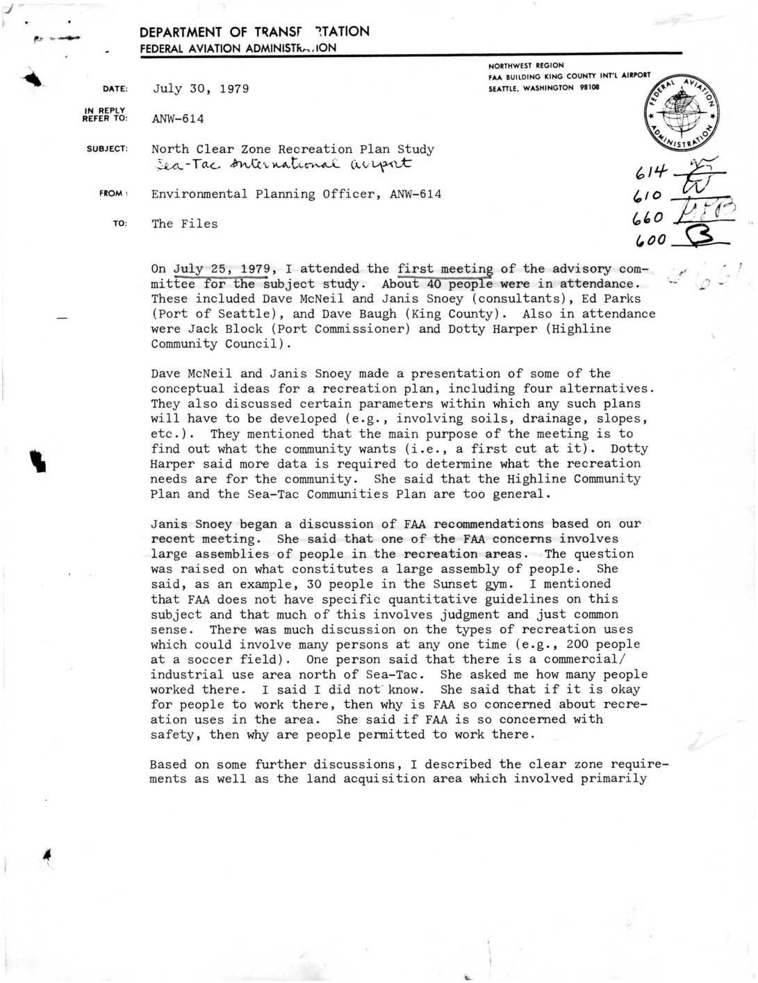
North Clear Zone Recreation Plan Study – Sea-Tac International Airport
A July 1979 FAA memo summarizes the first advisory committee meeting on a proposed recreation plan for the North Clear Zone near Sea-Tac International Airport. The meeting, attended by about 40 community members, consultants, and Port of Seattle representatives, centered on what types of recreational uses—such as soccer fields, golf courses, and bike trails—would be compatible with airport safety guidelines, with the FAA cautioning against intensive uses and large fixed spectator facilities in the clear zone. The group requested more specific, quantitative FAA guidelines on acceptable land use, and a follow-up meeting was scheduled for August 8, with the full study expected to take six months and potentially set precedents for recreational land use near major airports. -
 1979-07-25
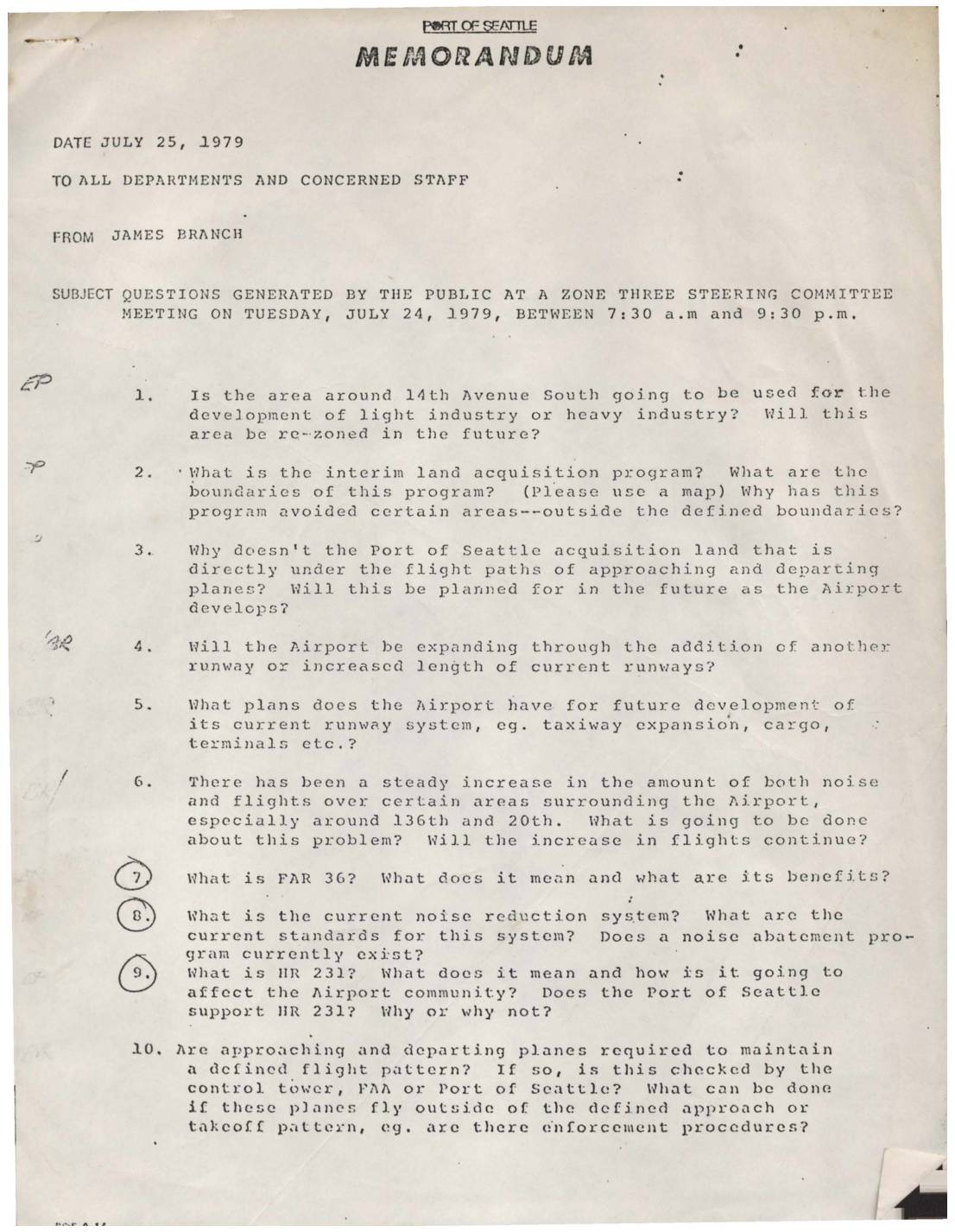
Port Of Seattle Memorandum: Questions from Zone Three Steering Committee Meeting, July 24, 1979
A July 25, 1979 Port of Seattle internal memorandum from James Branch to all departments and staff compiles 23 questions raised by the public at a Zone Three Steering Committee meeting held on July 24, 1979. The questions cover a wide range of community concerns related to Seattle-Tacoma International Airport, including aircraft noise levels, flight path enforcement, land acquisition programs, runway expansion plans, clear zone definitions, and jet engine emissions affecting nearby neighborhoods. The memo also addresses topics such as FAR 36 noise standards, the Sunset Recreation Plan, the ADAP program, and how residents of the Highline and Zone 3 communities can better cooperate with the Port of Seattle to resolve ongoing airport-related issues. -
 1979-07-10
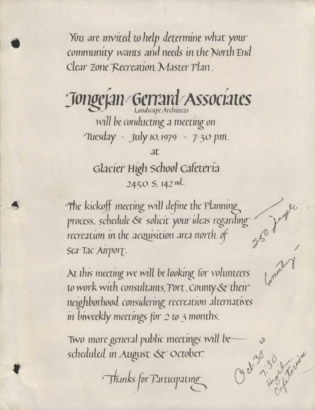
North End Clear Zone Recreation Master Plan community meeting notice
A 1979 public meeting notice from Jongejan/Gerrard Associates, Landscape Architects, inviting community members to participate in the North End Clear Zone Recreation Master Plan near Sea-Tac Airport. The kickoff meeting was held on July 10, 1979, at Glacier High School Cafeteria, where residents could share ideas about recreational use of the acquisition area north of Sea-Tac Airport and volunteer to work with consultants, the Port of Seattle, and King County. Additional public meetings were planned for August and October 1979 as part of the biweekly planning process.