TagPuget Sound(124)
-
 2001-06-22
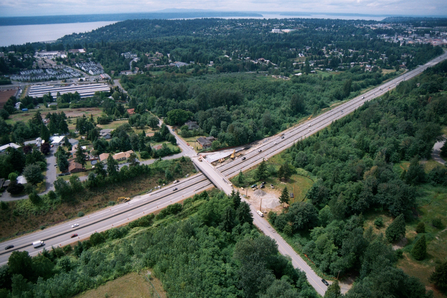
Aerial View of Highway Construction Zone Near Puget Sound Shoreline
Aerial photograph showing a multi-lane highway (likely I-5 or SR-99 in the Pacific Northwest based on vegetation, terrain, and visible Puget Sound shoreline) with an active road construction zone at a cross-street overpass. Construction equipment including excavators is visible at the interchange, and a residential/suburban area with dense tree cover surrounds the corridor. -
 2001-06-22
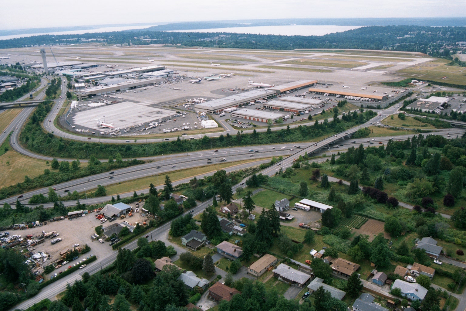
Aerial View of Sea-Tac Airport Looking North Toward Puget Sound
An aerial photograph looking northward over Seattle-Tacoma International Airport (Sea-Tac), showing the terminal, concourses, runways, and cargo facilities. Interstate 5 is visible in the foreground, with residential neighborhoods of the SeaTac/Burien area in the lower portion of the image and Puget Sound visible in the background. -
 2001-06-22
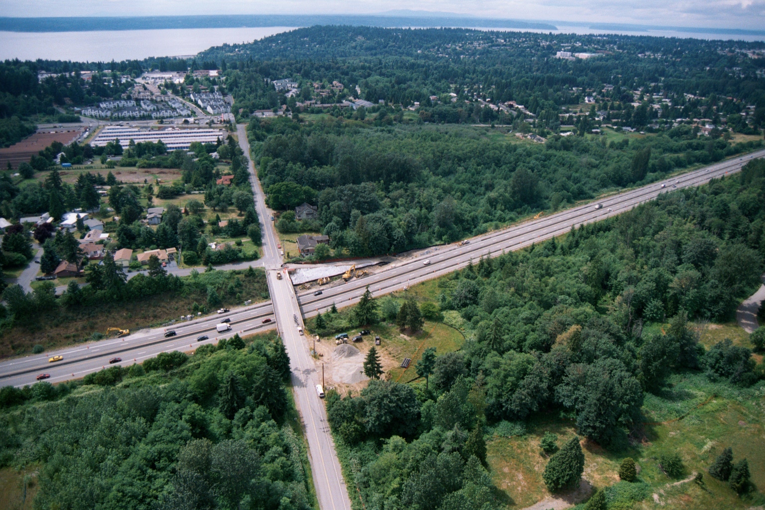
Aerial View of Highway Overpass Construction Near Puget Sound in the Greater Seattle-Tacoma Area
Aerial photograph showing a multi-lane highway (likely I-5 or similar Pacific Northwest interstate) intersecting with a surface road, with active bridge or overpass construction visible at the crossing. A body of water consistent with Puget Sound is visible in the background, along with suburban residential development and dense tree cover, suggesting a location in the greater Seattle-Tacoma area. -
 2001-06-22
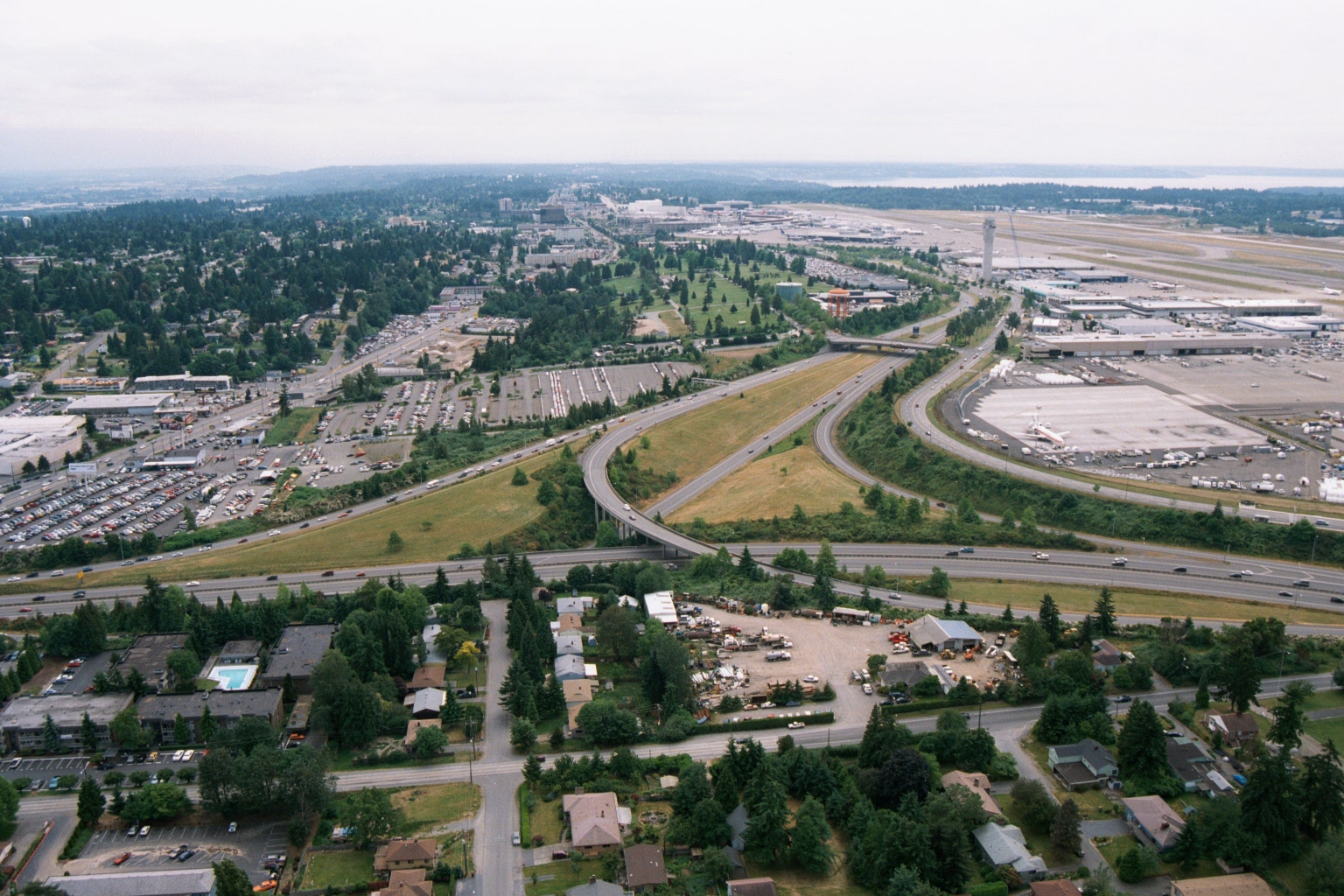
Aerial View of Sea-Tac Airport, Interstate 5, and Surrounding Communities
Aerial photograph looking northward toward Seattle-Tacoma International Airport (SEA-TAC), showing the airport terminal, control tower, runways, and aircraft gates on the right, with Interstate 5 interchange in the foreground and Puget Sound visible on the horizon. Residential neighborhoods, commercial properties, and parking areas in the cities of SeaTac or Des Moines are visible in the foreground, illustrating the airport's proximity to surrounding communities relevant to noise-impact planning. -
 2001-05-24
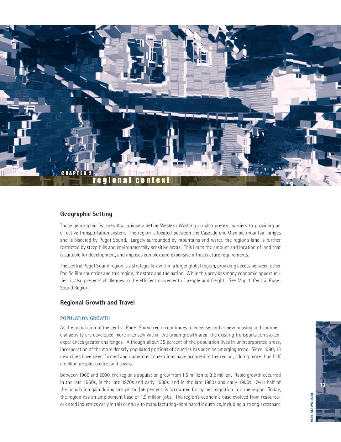
Destination 2030: Regional context
The central Puget Sound region, located between the Cascade and Olympic mountain ranges and bisected by Puget Sound, faces significant transportation and infrastructure challenges driven by rapid population growth. The region's population grew from 1.5 million in 1960 to 3.2 million by 2000, with projections estimating 4.7 million residents and 2.6 million jobs by 2030. Economic expansion, particularly in aerospace and high-technology sectors, has been a primary driver of this growth, placing increasing demands on the region's transportation systems and natural resources. -
 2001-04-30
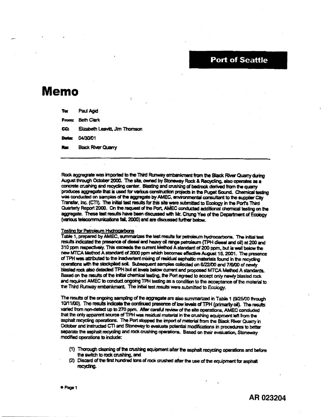
EXH AR023204: Memo — Black River Quarry Aggregate Testing (TPH & Metals)
A Port of Seattle memo from April 2001 summarizes environmental testing of rock aggregate imported from the Black River Quarry for use in the Third Runway embankment project. Testing by environmental consultant AMEC found petroleum hydrocarbons (TPH) and elevated copper levels in some samples, prompting operational changes at the quarry including equipment cleaning and discarding the first hundred tons of rock after asphalt recycling operations. Follow-up testing confirmed that contaminant levels fell below MTCA Method A cleanup standards, and the Port halted material imports from the quarry in mid-October 2000 pending resolution. -
 2001-01-25
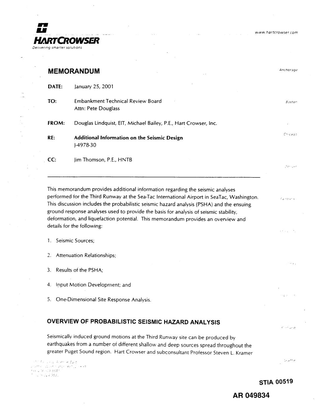
EXH AR049834: Hart Crowser Memorandum — Additional Information on the Seismic Design for Sea-Tac International Airport Third Runway
Memorandum dated January 25, 2001 from Douglas Lindquist (EIT) and Michael Bailey (P.E.) of Hart Crowser, Inc. to the Embankment Technical Review Board (Attn: Pete Douglass), project J-4978-30, CC to Jim Thomson (P.E., HNTB). Provides additional information on seismic analyses for the Third Runway at Seattle-Tacoma International Airport (STIA) in SeaTac, Washington. Covers probabilistic seismic -
 2000-12-14
Puget Sound Water Quality Management Plan 2000
The 2000 Puget Sound Water Quality Management Plan, adopted December 14, 2000, outlines coordinated local, state, tribal, and federal actions to restore and protect the health of Puget Sound in Washington State. The plan introduces new programs addressing aquatic nuisance species and Georgia Basin water coordination, while substantially revising existing stormwater, habitat, and wetlands protection programs. It builds on earlier management plans dating back to 1987 and calls for renewed commitment to funding and policy improvements. -
 2000-01-24
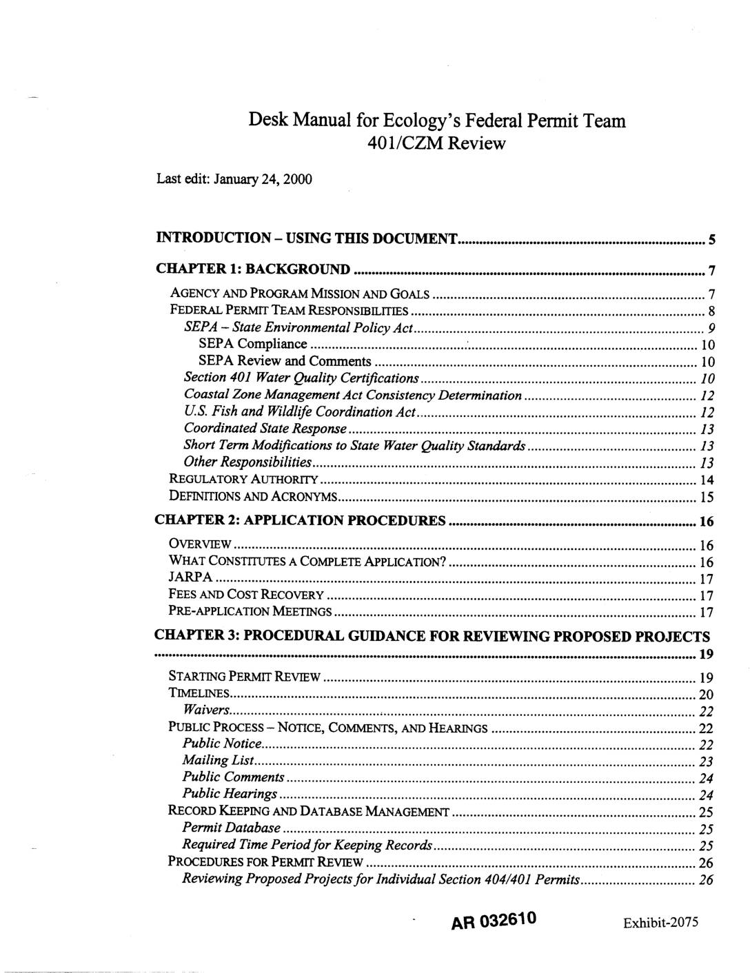
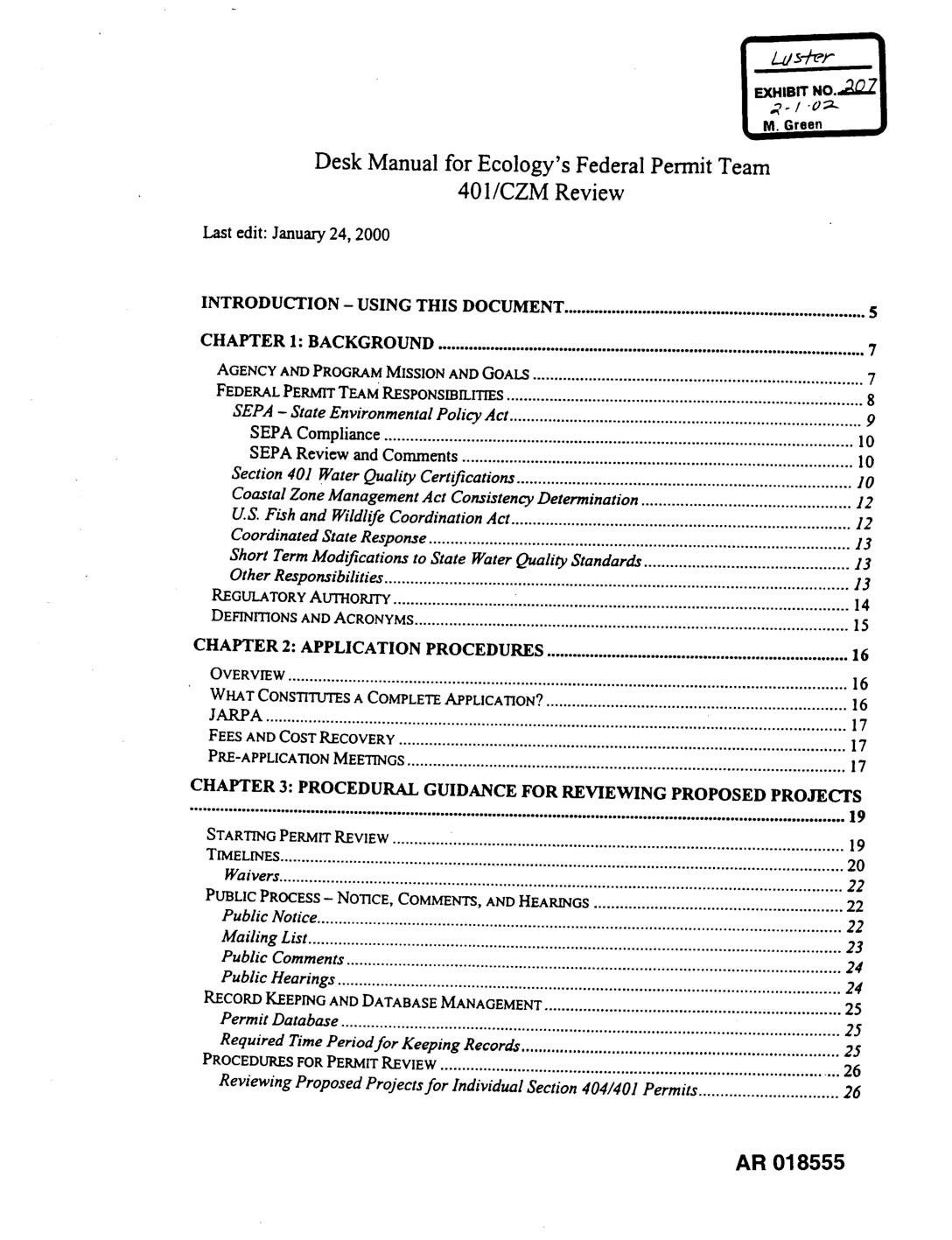
EXH AR032610: Desk Manual for Ecology’s Federal Permit Team 401/CZM Review
Desk Manual for Washington State Department of Ecology’s Federal Permit Team covering Section 401 Water Quality Certifications and Coastal Zone Management Act (CZM) consistency determinations. Covers SEPA compliance, JARPA application procedures, public notice and hearings, permit review timelines, waivers, 303(d)-listed waters, wetlands mitigation, sediment management standards, Puget Sound Dredged Disposal Analysis (PSDDA), NPDES coordination, antidegradation, -
 2000-01-24
Exhibit 207: Desk Manual for Ecology’s Federal Permit Team — 401/CZM Review
This is a procedural desk manual for Washington State Department of Ecology's Federal Permit Team, outlining how staff should review and process Section 401 Water Quality Certifications and Coastal Zone Management (CZM) consistency determinations for federally permitted projects. It covers application procedures, public notice requirements, review timelines, and technical guidance for evaluating impacts to water quality, wetlands, and sediments. This document does not contain content related to Sea-Tac Airport noise policy.