TagMiller Creek(252)
-
 2002-03-13
PCHB Doc 78 AR002396: ACC and CASE Prehearing Brief — Third Runway 401 Certification Appeal
Prehearing brief filed by appellant Airport Communities Coalition (ACC) and intervenor-appellant Citizens Against Sea-Tac Expansion (CASE) in PCHB No. 01-160, appealing the Washington Department of Ecology’s August 10, 2001 Section 401 Clean Water Act certification for the Sea-Tac Airport Third Runway project. Documents the Port of Seattle’s proposal to fill a canyon with 20 million -
 2002-02-23
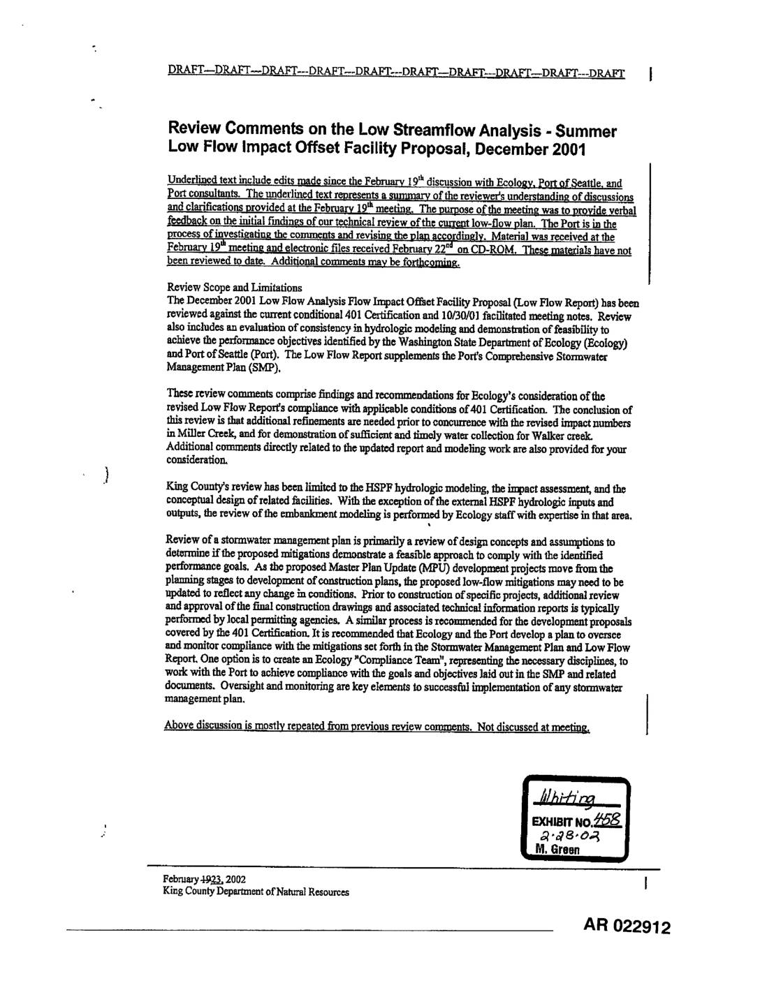
EXH 458: Review Comments Low Streamflow Analysis – Summer Low Flow Impact Offset Facility Proposal, Dec 2001
This February 2002 draft document from King County Department of Natural Resources presents technical review comments on the Port of Seattle's December 2001 Low Streamflow Analysis and Summer Low Flow Impact Offset Facility Proposal. The review identifies several deficiencies in the hydrologic modeling for Walker Creek and Miller Creek, including inconsistencies in impervious area calculations, questionable vault-filling timelines, and concerns about the accuracy of observed streamflow data used for calibration. King County recommends additional refinements before approving the revised impact numbers, and suggests that Ecology and the Port establish a formal compliance oversight process. -
 2002-02-23
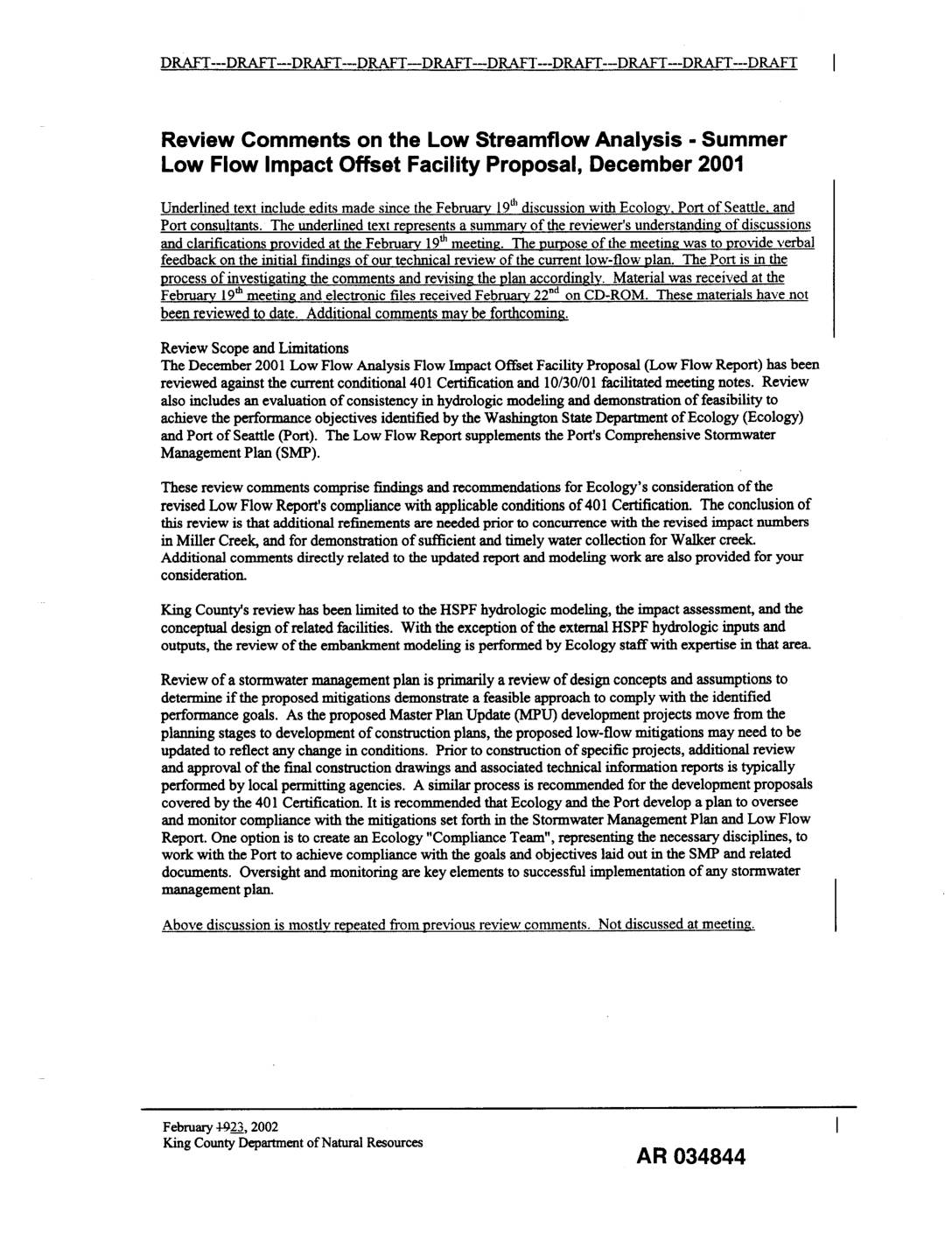
EXH AR034844: King County Review Comments on Low Streamflow Analysis – Summer Low Flow Impact Offset Facility Proposal, December 2001
King County Department of Natural Resources draft review comments (AR034844-034846) on the Port Of Seattle / Parametrix Inc. December 2001 Low Streamflow Analysis – Summer Low Flow Impact Offset Facility Proposal. Review evaluates HSPF hydrologic modeling, impact assessment, and conceptual design of low-flow offset facilities for Miller Creek and Walker Creek against Washington State Department -
 2002-02-20
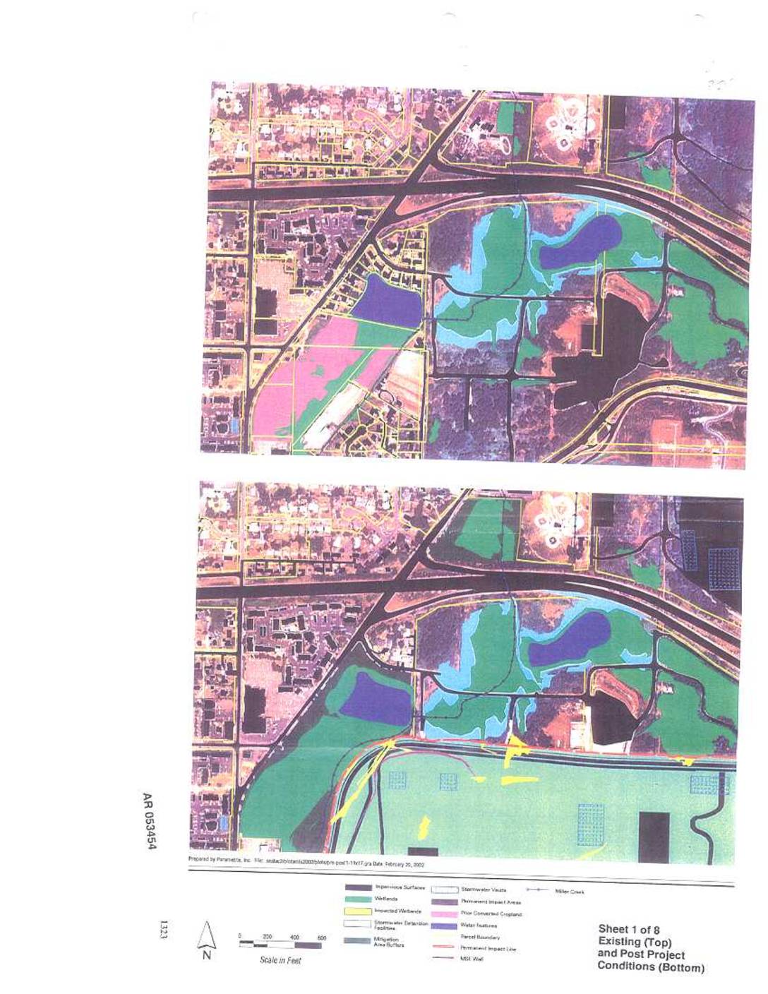
EXH AR053454: Existing and Post Project Conditions Maps, Sheets 1–3 of 8 — Sea-Tac Airport Wetlands and Miller Creek
Parametrix-prepared maps (Sheets 1-3 of 8, AR 053454-053456, dated February 20, 2002) depicting existing and post-project conditions near Sea-Tac Airport, showing wetlands, impacted wetlands, impervious surfaces, stormwater detention facilities, stormwater vaults, mitigation area buffers, permanent impact areas, prior converted cropland, Miller Creek, parcel boundaries, permanent impact lines, MSE wall, and airport navigation aids. Maps cover -
 2002-02-19
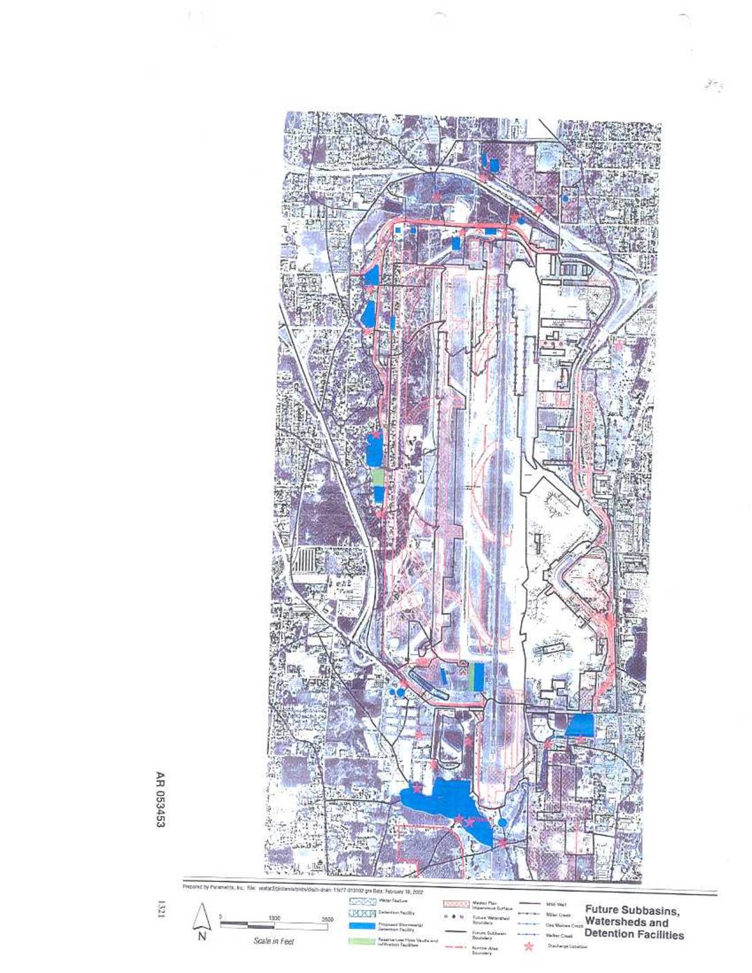
EXH AR053453: Future Subbasins, Watersheds and Detention Facilities Map
AR 053453. Map prepared by Parametrix, Inc. dated February 19, 2002, depicting future subbasins, watersheds, and detention facilities at Sea-Tac Airport. Shows water features including Miller Creek, Old Madres Creek, Walker Creek, detention facilities, proposed stormwater management facilities, reactive low-flow vaults and infiltration facilities, Master Plan impervious surfaces, future watershed boundaries, future subbasin boundaries, discharge -
 2002-02-19
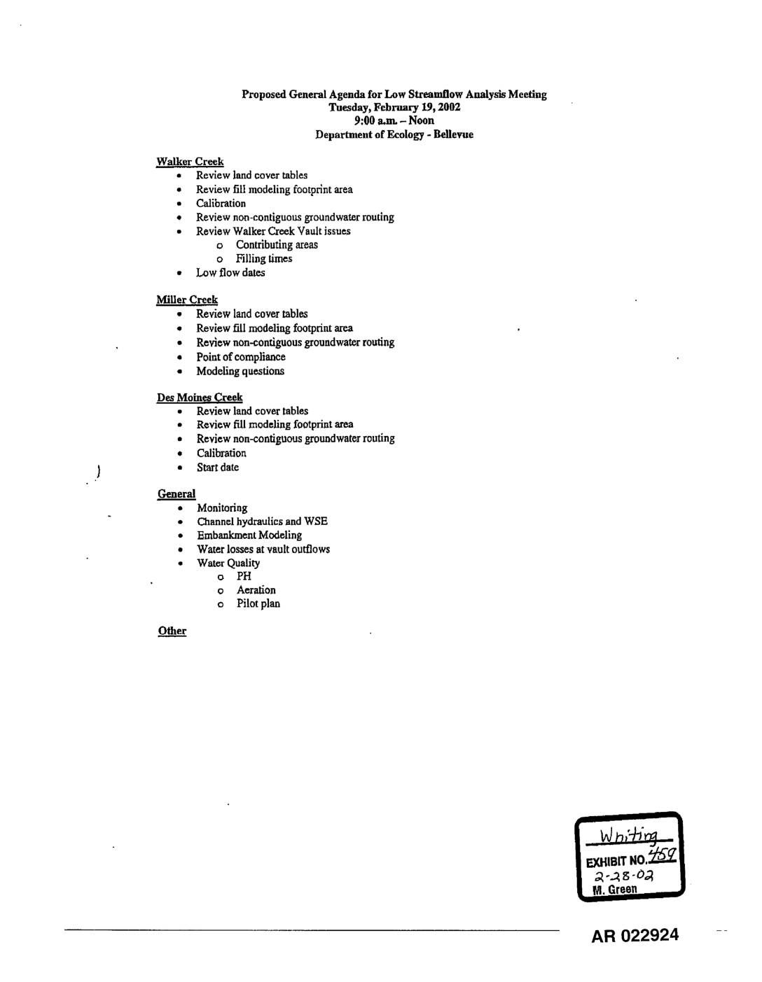
EXH 459: Proposed Agenda Low Streamflow Analysis Meeting – Walker, Miller, Des Moines Creeks
This document is an agenda for a Low Streamflow Analysis Meeting held on February 19, 2002, at the Department of Ecology in Bellevue, Washington. The meeting covered technical modeling and water flow topics for three local waterways — Walker Creek, Miller Creek, and Des Moines Creek — including reviews of land cover tables, groundwater routing, and calibration. General topics such as water quality monitoring, channel hydraulics, and embankment modeling were also on the agenda. -
 2002-02-19
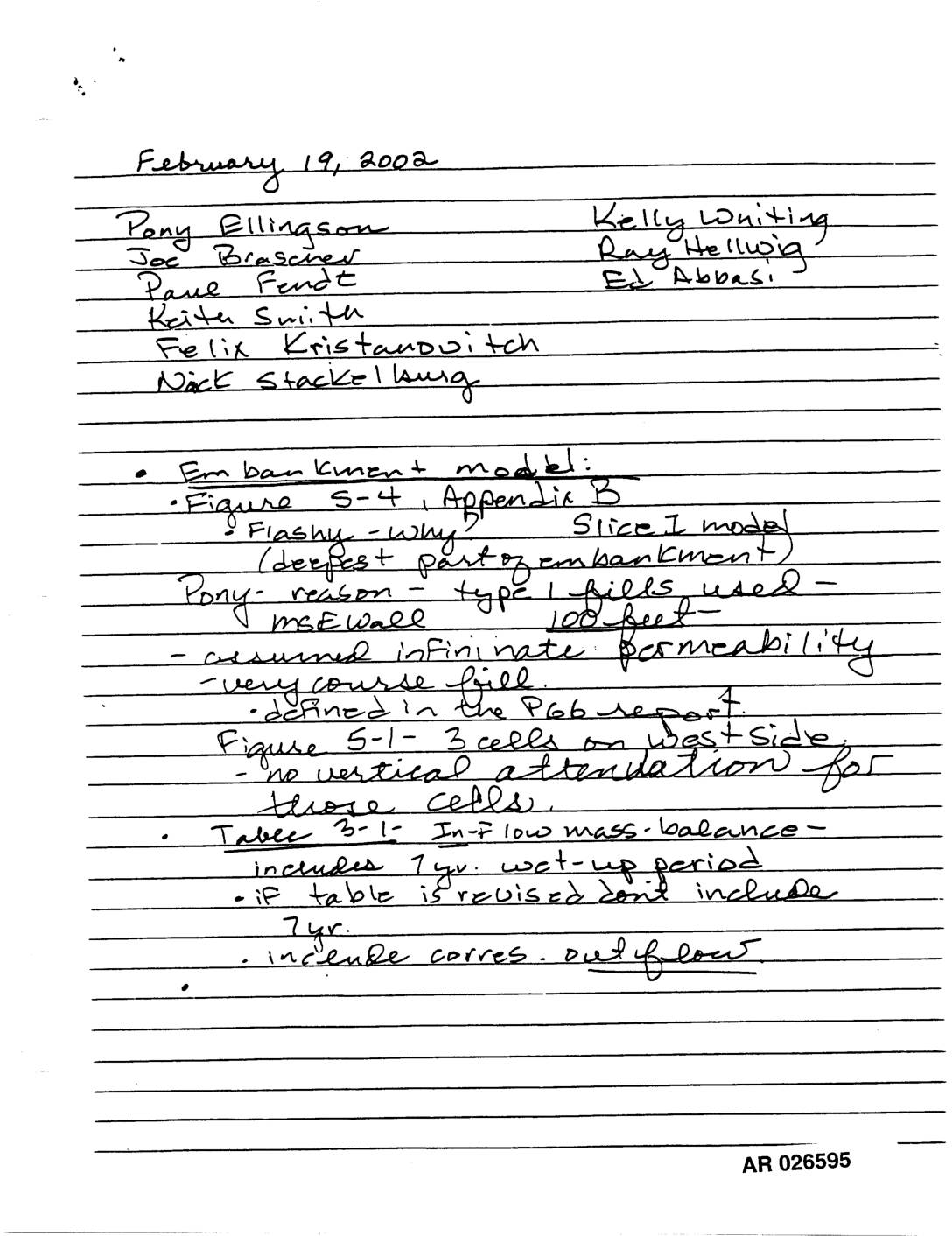
Exhibit 730: Handwritten Meeting Notes — Embankment Model, Fill Modeling, Miller Creek, Walker Creek, and Des Moines County Monitoring
Handwritten meeting notes dated February 19, 2002, AR 026595–026597, attended by Pony Ellingson, Joe Brascher, Paul Fendt, Keith Smith, Felix Kristandovitch, Nick Stackellburg, Kelly Whiting, Ray Helwig, and Ed Abbasi. Topics include embankment model (Figure 5-4, Appendix B, Slice I model, MSE wall, infinite permeability assumption, coarse fill), fill modeling footprint area with surface groundwater -
 2002-02-19
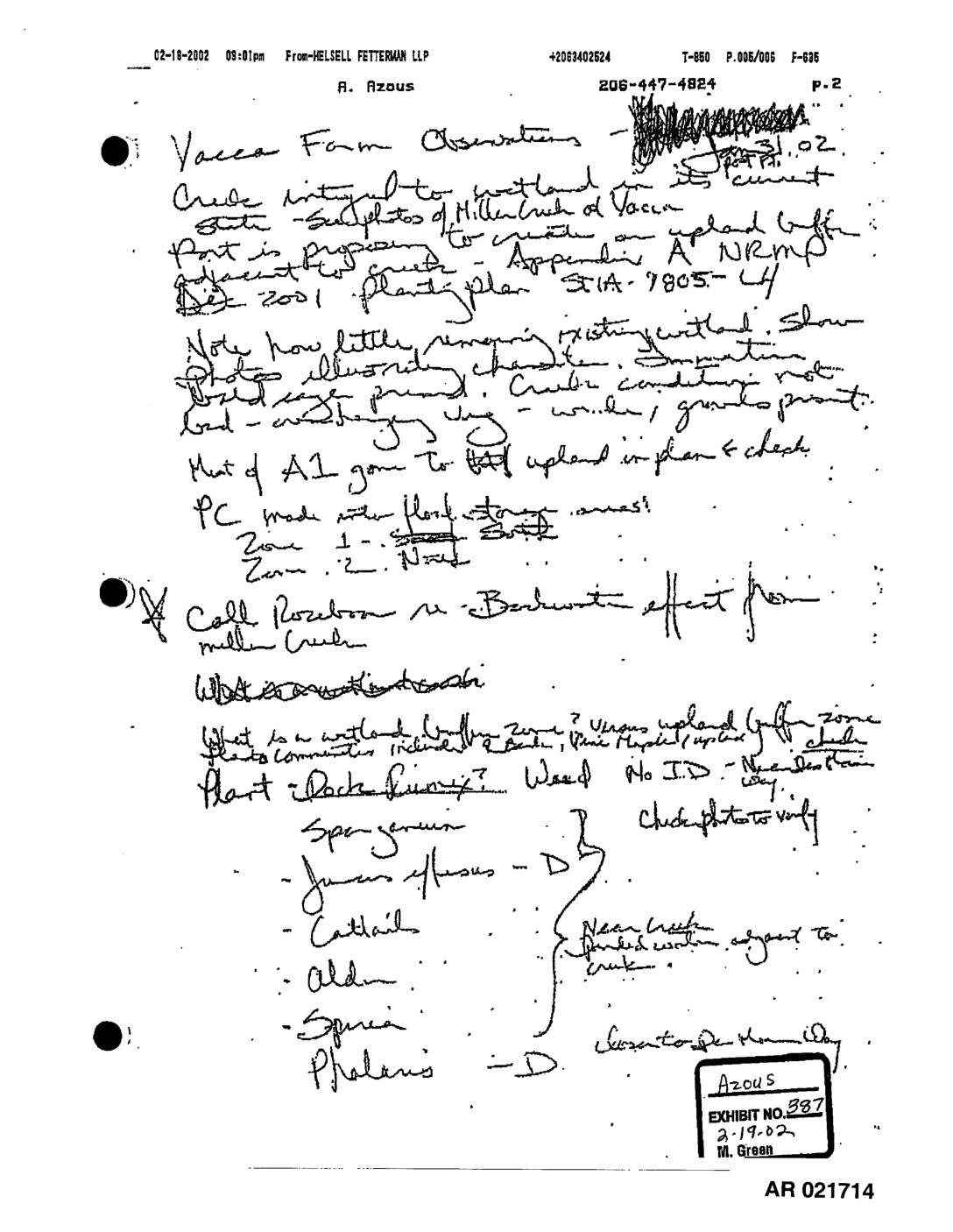
EXH 387: Vacca Farm & West Side Field Observations Jan–Feb 2002
These are handwritten field observation notes dated January 31, 2002, documenting wetland and upland buffer conditions near Miller Creek and Vacca Farm, including plant communities, wetland boundaries, and buffer zones. The notes reference site observations about existing wetland conditions, vegetation types (including cattails, alder, sedge, and Phalaris), and questions about the extent of wetland fill and excavation. The observations appear to relate to an environmental review of proposed land use changes adjacent to Miller Creek, with reference to an upland buffer plan (STA-7805). -
 2002-01-31
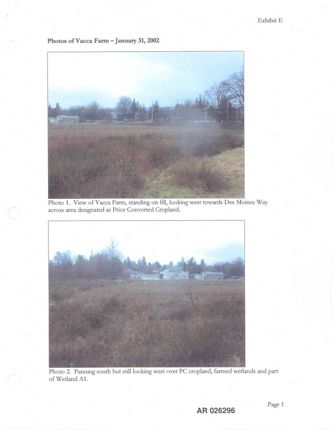
EXH E: Photos Vacca Farm — January 31, 2002
This document, labeled Exhibit E, contains photographs taken on January 31, 2002 of the Vacca Farm site, showing various land features including areas designated as Prior Converted Cropland, farmed wetlands, and Wetland A1. The photos document the site's vegetation and water features, including a close-up of wetland plants and a view of Miller Creek looking west across Wetland A1. The images appear to be part of an environmental or land-use assessment record related to the Vacca Farm property near Des Moines Way. -
 2002-01-31
EXH AR053382: Vacca Farm and West Side Observations – Handwritten Field Notes, January 31, 2002
Handwritten field observation notes by R. Azous (Azous Exhibit 387, dated 2-19-02) transmitted via fax from Helsell Fetterman LLP on 02-19-2002, documenting site visits to Vacca Farm and West Side areas adjacent to Miller Creek and STIA. Notes cover wetland conditions, plant communities (cattail, alder, Juncus, Phalaris, Sparganium, sedge), upland buffer zones, NRM planting plan