TagMiller Creek(252)
-
 2001-11-26
PCHB No. 01-160: Declaration of Roger A. Pearce, Port Of Seattle Attorney, Re Wetland and Groundwater Mitigation Documents
Declaration by Roger A. Pearce, attorney for Port Of Seattle, filed in Pollution Control Hearings Board (PCHB) Case No. 01-160, Airport Communities Coalition v. Department of Ecology and Port Of Seattle. Identifies four exhibits submitted to Washington Department of Ecology under amended §401 Certification on JARPA Application No. 1996-4-02325: Exhibit A (Wetland A17 Restoration Plan, -
 2001-11-15
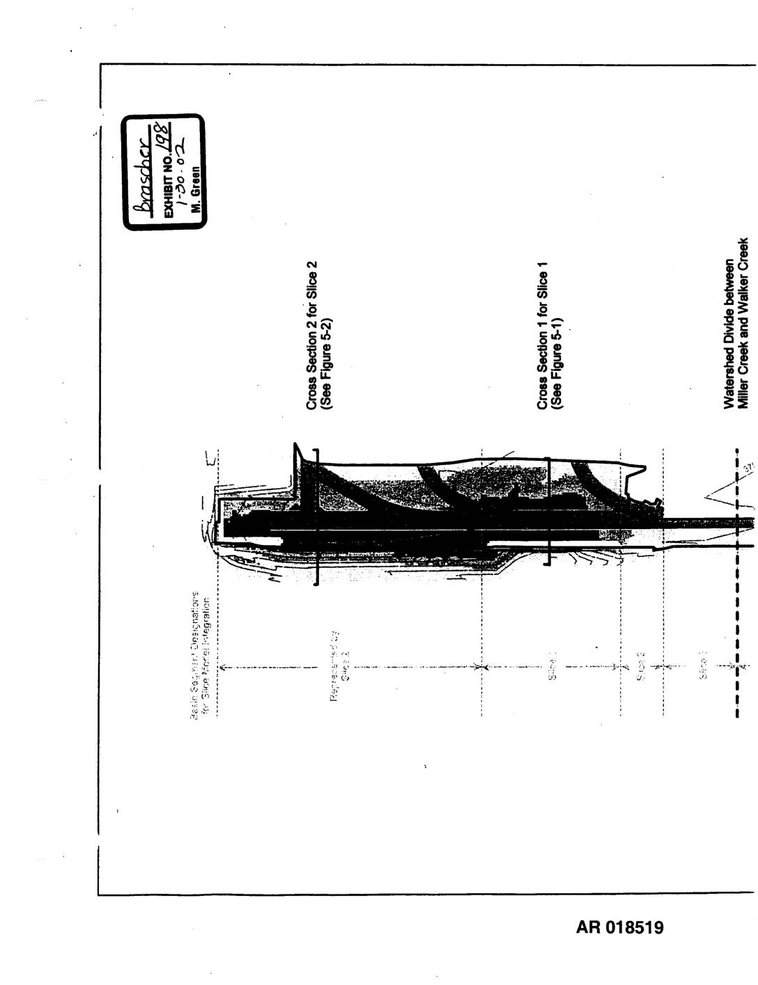
Exhibit 198: Sea-Tac Third Runway Embankment Fill Modeling — Site Features for Hydrus-Slice Modeling (Figure 2-1)
This document presents site features and cross-sectional diagrams used for Hydrus-Slice hydrological modeling of the Sea-Tac Third Runway Embankment Fill project. It shows fill depths ranging from 0 to 160 feet across multiple modeled slices, with cross sections identifying impervious areas, elevation contours, and the watershed divide between Miller Creek and Walker Creek. The figures were produced in November 2001 as part of environmental engineering analysis for the third runway construction. -
 2001-11-07
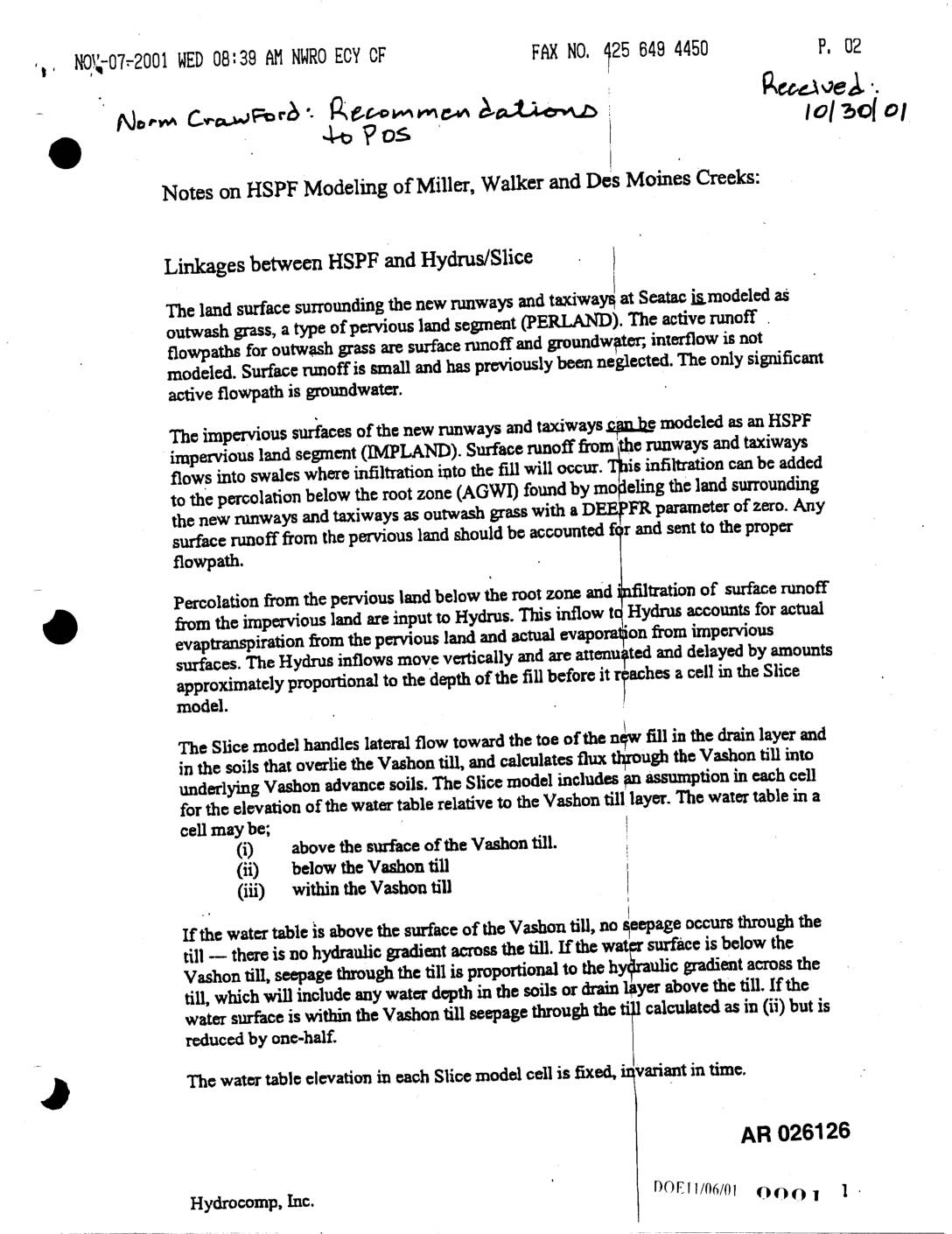
EXH AR026126: HSPF Modeling Notes — Miller, Walker & Des Moines Creeks; HSPF-Hydrus/Slice Linkages
A 2001 technical memo from Hydrocomp, Inc.'s Norm Crawford outlines recommendations for hydrological modeling of Miller, Walker, and Des Moines Creeks near Sea-Tac Airport's new runways and taxiways. The document describes how surface runoff and groundwater flow from both impervious runway surfaces and surrounding pervious grasslands should be calculated and linked across three modeling tools: HSPF, Hydrus, and the Slice model. Key recommendations include properly accounting for infiltration, reducing till seepage by 33% for inactive groundwater recharge, and reconciling discrepancies in land area calculations between the different models. -
 2001-11-02
EXH AR026273: Parametrix Transmittal & Responses to ACOE Questions Oct 26 2001 STIA MPU Natural Resource Mitigation
This November 2001 document from Parametrix, Inc. contains responses to U.S. Army Corps of Engineers questions regarding the Sea-Tac International Airport (STIA) Master Plan Update's natural resource mitigation project. It addresses technical questions about wetland mapping, watershed basin sizes, low-flow analysis, and cumulative wetland impacts across the Miller Creek, Walker Creek, and Des Moines Creek basins, showing projected wetland acreage reductions of approximately 3-4% with the project. The document also covers mitigation measures including wetland restoration sites and performance standards for invasive species control. -
 2001-11-02
EXH AR018323: Geotechnical Summary Report — Third Runway Embankment and MSE Retaining Walls, Seattle-Tacoma International Airport
Hart Crowser geotechnical summary report (project 4978-06) prepared for the Port of Seattle for presentation to the U.S. Army Corps of Engineers, November 2, 2001. Covers Third Runway embankment construction at Seattle-Tacoma International Airport: 17,000,000 cubic yards compacted earth fill, maximum fill thickness 165 feet, 2H:1V side slopes, three Mechanically Stabilized Earth (MSE) retaining walls -
 2001-11-01
EXH AR17604: Figure 1.3-1 — Master Plan Update Improvement Projects at STIA
Port of Seattle Natural Resource Mitigation Plan figure (AR017604, Exhibit 46, dated 12-20-01) showing Master Plan Update Improvement Projects at Seattle-Tacoma International Airport (STIA). Map depicts Third Runway construction area, Runway Safety Areas (RSAs), MSE retaining walls used to avoid and minimize wetland impacts, relocated section of Miller Creek, Miller Creek Detention Facility, Lora Lake, -
 2001-11-01
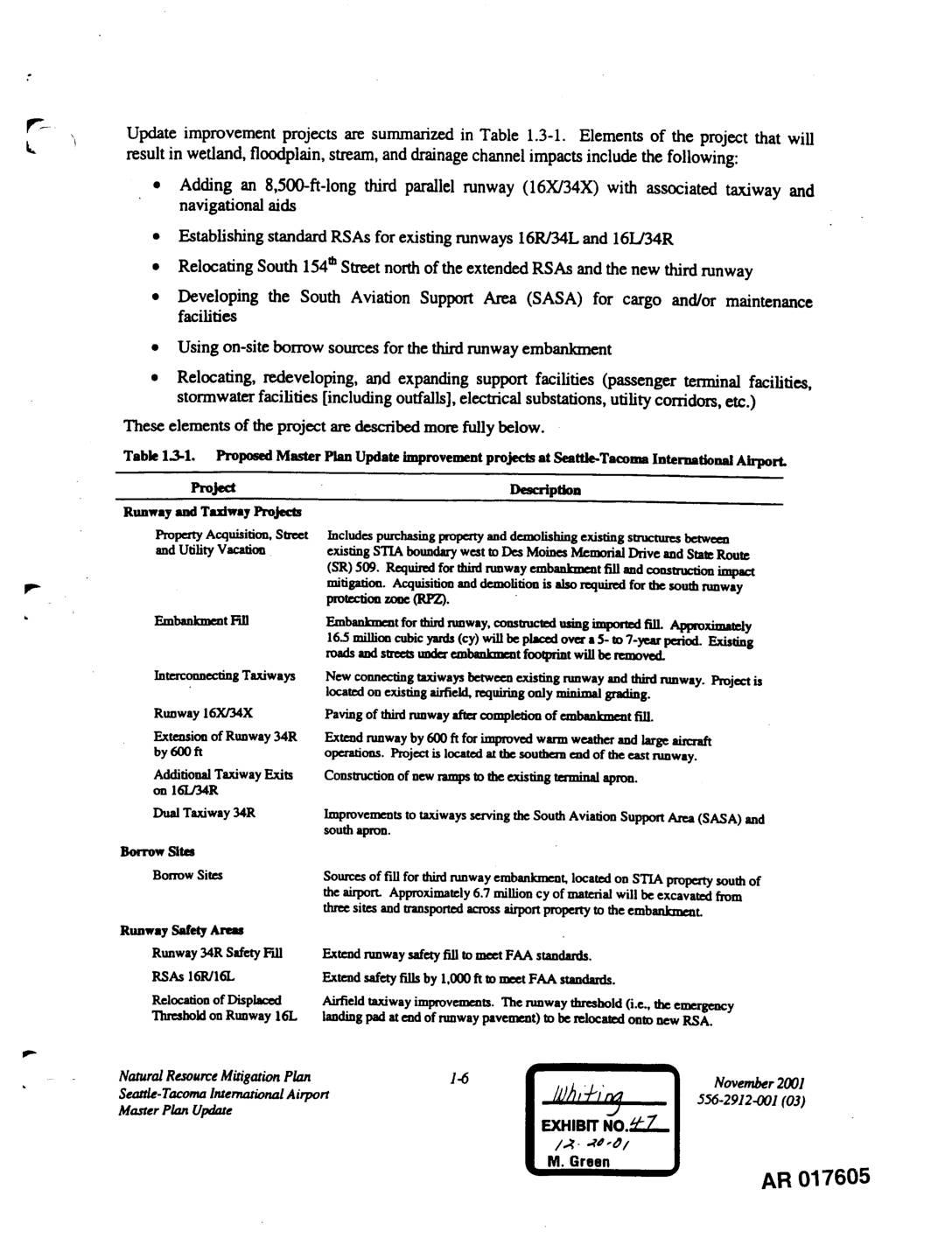
EXH AR017605: Natural Resource Mitigation Plan — STIA Master Plan Update, Proposed Improvement Projects Table 1.3-1
Natural Resource Mitigation Plan for Seattle-Tacoma International Airport (STIA) Master Plan Update, November 2001, document reference 556-2912-001 (03). Table 1.3-1 lists all proposed Master Plan Update improvement projects including: third parallel runway 16X/34X (8,500 ft), Runway Safety Areas (RSAs) for 16R/34L and 16L/34R, South 154th Street relocation, South Aviation Support Area (SASA) for cargo/maintenance, embankment -
 2001-11-01
EXH AR052286: Miller Creek Riparian Corridor and Instream Enhancement Project — Wetland A17 Restoration, STIA Master Plan Update Improvements
Report prepared by Parametrix, Inc. for Port Of Seattle regarding the Miller Creek Riparian Corridor and Instream Enhancement Project and Wetland A17 Restoration, part of the Seattle-Tacoma International Airport Master Plan Update Improvements. Document AR 052286 covers wetland mitigation design, Army Corps of Engineers requirements, buffer averaging, hydrology, soils, vegetation, grading, landscape plan, performance standards, -
 2001-10-30
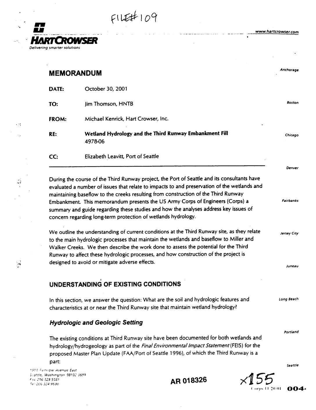
EXH AR018326: Memorandum on Wetland Hydrology and the Third Runway Embankment Fill
Memorandum dated October 30, 2001 from Michael Kenrick of Hart Crowser, Inc. to Jim Thomson of HNTB (project number 4978-06), CC Elizabeth Leavitt of Port Of Seattle, regarding wetland hydrology impacts of the Third Runway Embankment Fill at Sea-Tac Airport. Covers depression wetlands, slope wetlands, and riparian wetlands; references FEIS for the Master Plan Update -
 2001-10-30
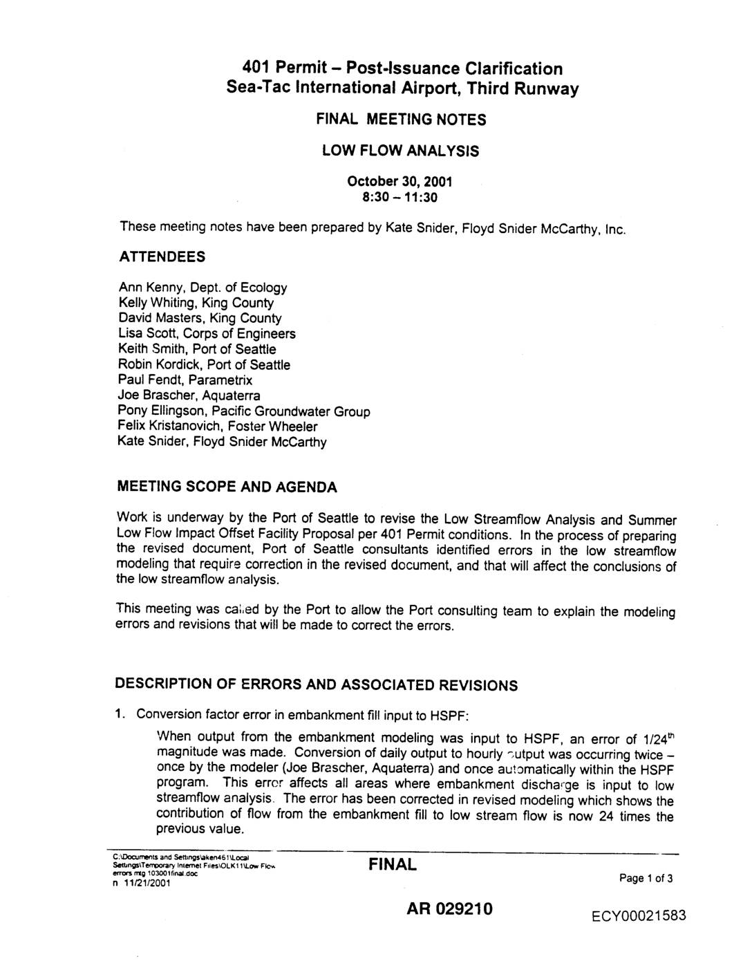
EXH AR029210: 401 Permit Post-Issuance Clarification — Sea-Tac Airport Third Runway Low Flow Analysis Meeting Notes
Final meeting notes from October 30, 2001 Low Flow Analysis meeting regarding Port Of Seattle’s revisions to the Low Streamflow Analysis and Summer Low Flow Impact Offset Facility Proposal per 401 Permit conditions for Sea-Tac Airport Third Runway. Attendees included Ann Kenny (Dept. of Ecology), Kelly Whiting and David Masters (King County), Lisa Scott (Corps