TagWalker Creek Basin Plan(12)
-
 2006-02-01
Miller and Walker Creeks Basin Plan appendices
The Miller and Walker Creeks Basin Plan Appendices, published in February 2006, is a regional watershed management document developed collaboratively by King County, the City of Burien, the City of SeaTac, the City of Normandy Park, the Port of Seattle, and the Washington State Department of Transportation. The plan addresses stormwater, habitat, and water quality issues within the Miller and Walker Creek drainage basins located near the Sea-Tac Airport area. It provides technical appendices to support basin-wide strategies for managing creek health and flood-related impacts in this urbanized watershed. -
 2003-09-23
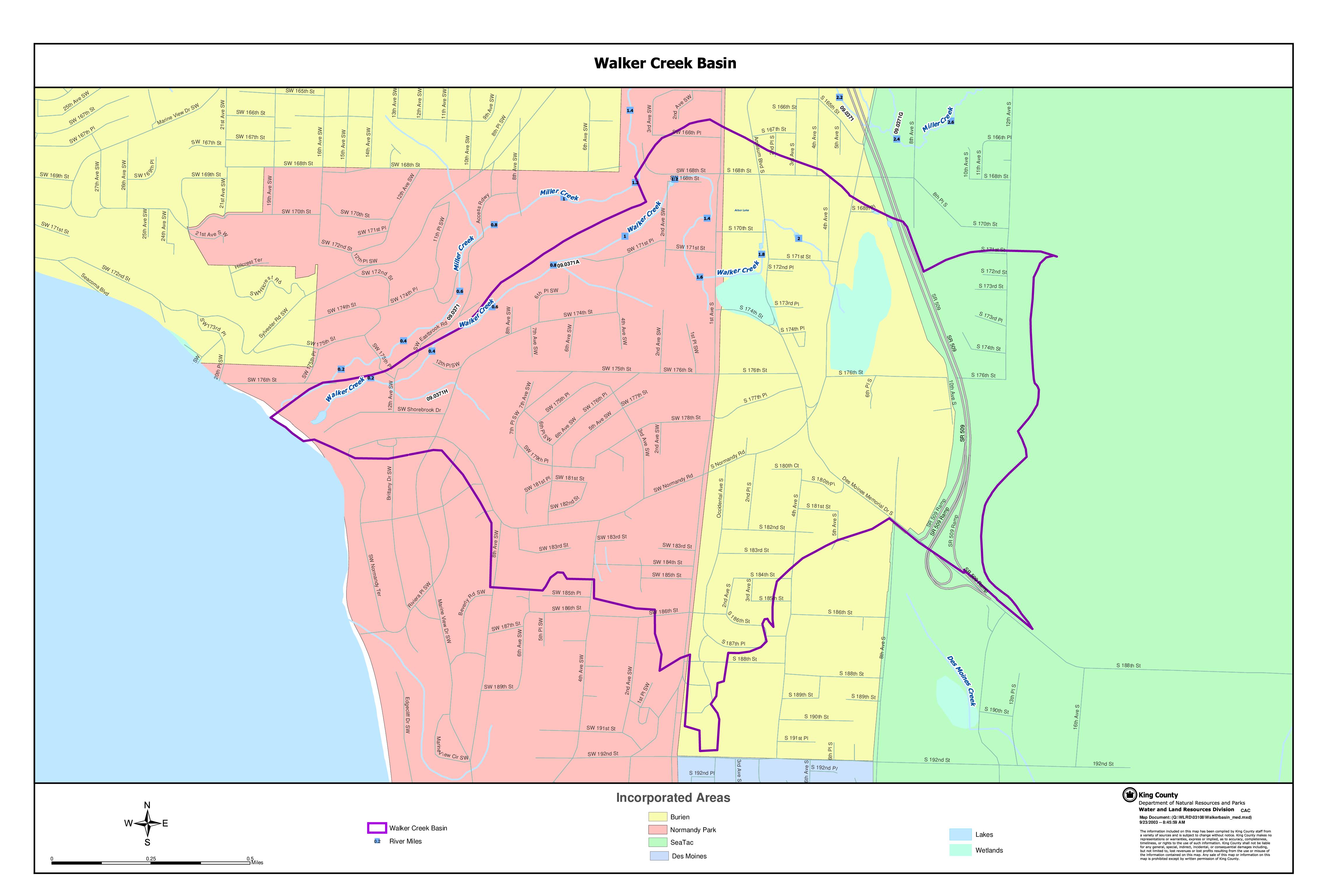
Walker Creek Basin map
This King County Water and Land Resources Division map document depicts the Walker Creek Basin, a watershed area located near Sea-Tac Airport encompassing portions of the incorporated cities of Burien, Normandy Park, SeaTac, and Des Moines in Washington State. The map identifies key waterways including Walker Creek, Miller Creek, and Des Moines Creek, along with wetlands, lakes, and river mile markers within the basin boundary. Created in 2003, it serves as a geographic reference for water resource and land use planning in this urbanized watershed area. -
 2002-10-22
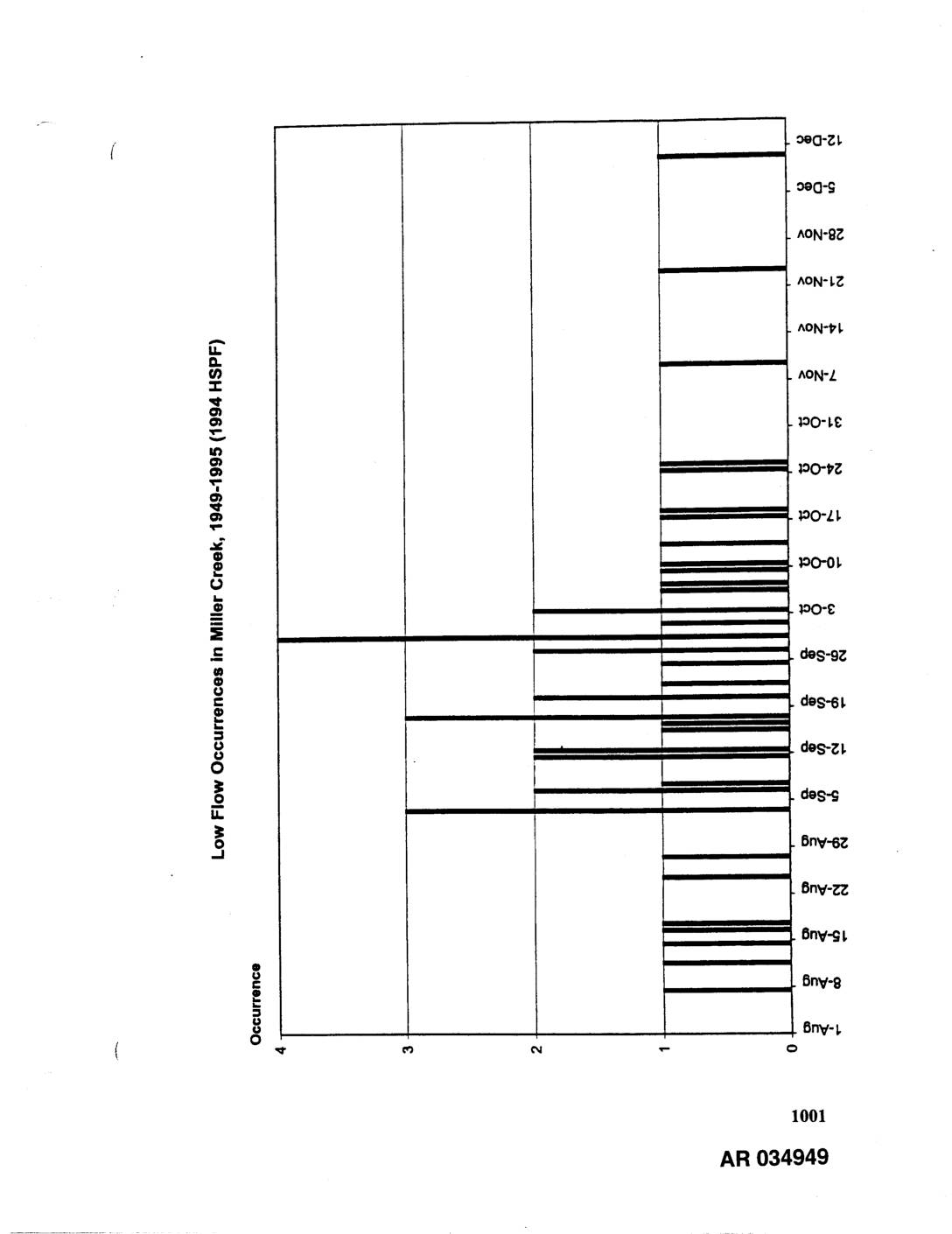
EXH AR034949: Low Flow Occurrences in Miller Creek, Des Moines Creek, and Walker Creek, 1949-1995 (1994 HSPF)
Three bar charts showing 7-day low flow occurrences modeled using 1994 HSPF (Hydrological Simulation Program Fortran) for the period 1949-1995. Charts cover Miller Creek, Des Moines Creek, and Walker Creek, displaying occurrence counts (0-4) by date ranging from summer through winter months (June through December). AR034949-AR034951. Related to stormwater hydrology and low flow analysis for -
 2002-02-22
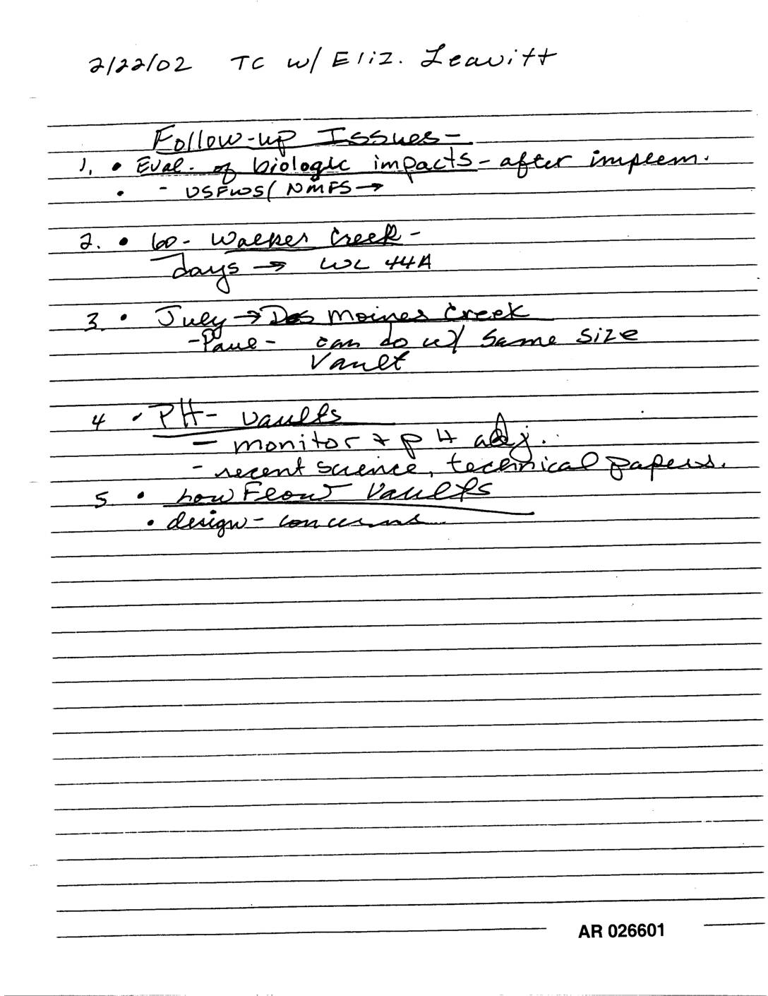
EXH AR026601: Handwritten Notes TC Elizabeth Leavitt Follow-Up Des Moines Creek Walker Creek pH Vaults
Handwritten notes dated 2/22/02 from a telephone call with Eliz. Leavitt outline five follow-up issues, including evaluation of biological impacts after implementation (involving USFWS/NMFS), a 60-day Walker Creek matter related to WL 44A, a July Des Moines Creek discussion about vaults of the same size, pH vault monitoring and recent science/technical papers, and concerns about how float vaults are designed. -
 2002-02-19
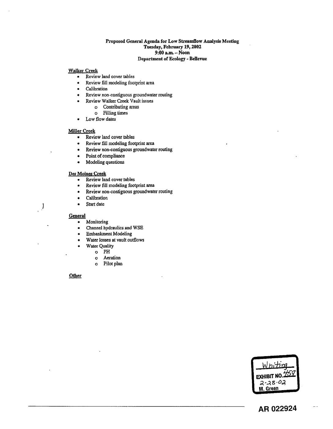
EXH 459: Proposed Agenda Low Streamflow Analysis Meeting – Walker, Miller, Des Moines Creeks
This document is an agenda for a Low Streamflow Analysis Meeting held on February 19, 2002, at the Department of Ecology in Bellevue, Washington. The meeting covered technical modeling and water flow topics for three local waterways — Walker Creek, Miller Creek, and Des Moines Creek — including reviews of land cover tables, groundwater routing, and calibration. General topics such as water quality monitoring, channel hydraulics, and embankment modeling were also on the agenda. -
 2002-02-19
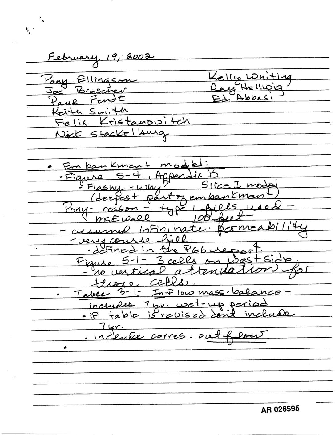
Exhibit 730: Handwritten Meeting Notes — Embankment Model, Fill Modeling, Miller Creek, Walker Creek, and Des Moines County Monitoring
Handwritten meeting notes dated February 19, 2002, AR 026595–026597, attended by Pony Ellingson, Joe Brascher, Paul Fendt, Keith Smith, Felix Kristandovitch, Nick Stackellburg, Kelly Whiting, Ray Helwig, and Ed Abbasi. Topics include embankment model (Figure 5-4, Appendix B, Slice I model, MSE wall, infinite permeability assumption, coarse fill), fill modeling footprint area with surface groundwater -
 2001-12-01
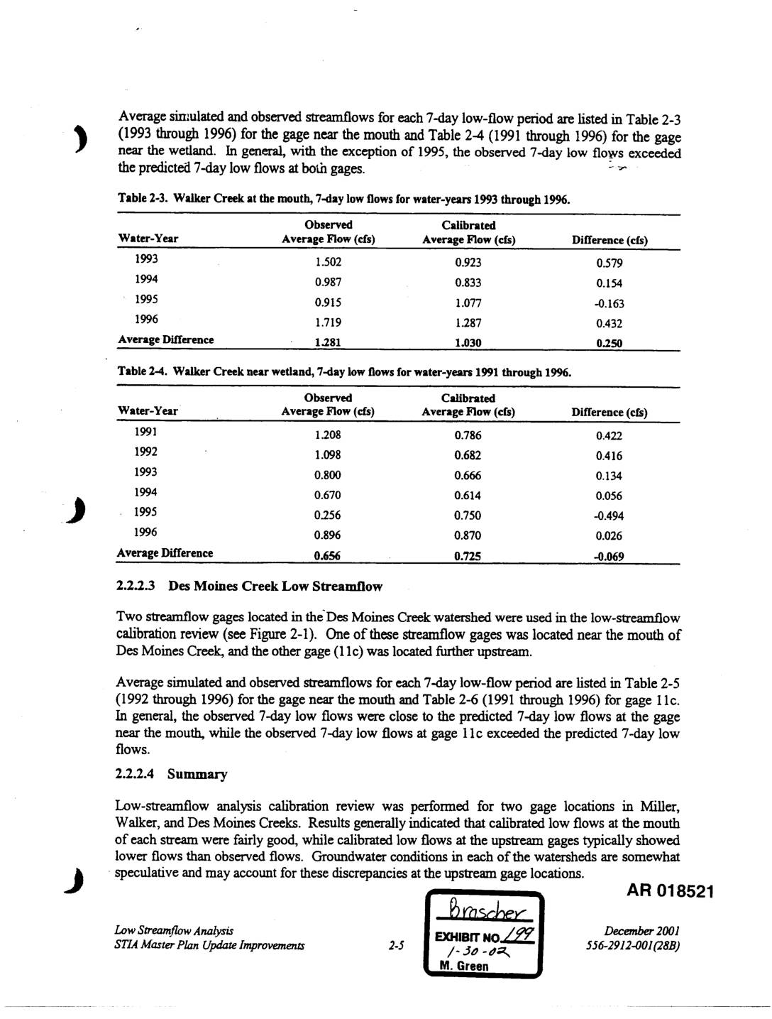
Exhibit 199: Walker Creek and Des Moines Creek 7-Day Low-Flow Calibration Analysis, STIA Master Plan Update
This technical document compares observed and model-predicted 7-day low streamflows for Walker Creek and Des Moines Creek near Seattle-Tacoma Airport for water years 1991–1996. Results show that calibrated (simulated) flows generally underestimated observed flows at most gage locations, with the exception of 1995, when the model overpredicted flows. Discrepancies at upstream gage locations are attributed to uncertain groundwater conditions within the watersheds. -
 2001-11-27
EXH AR052548: Sea-Tac Third Runway Embankment Fill Modeling in Support of Low Streamflow Analysis
Report by Pacific Groundwater Group (project JE0105) prepared for Port Of Seattle, dated November 27, 2001, analyzing embankment fill modeling in support of low streamflow analysis for the Sea-Tac Third Runway. Uses HYDRUS-SLICE modeling to assess vertical infiltration through embankment fill materials (General Fill and Type 1 Fill), saturated flow beneath the fill, and effective -
 2001-07-24
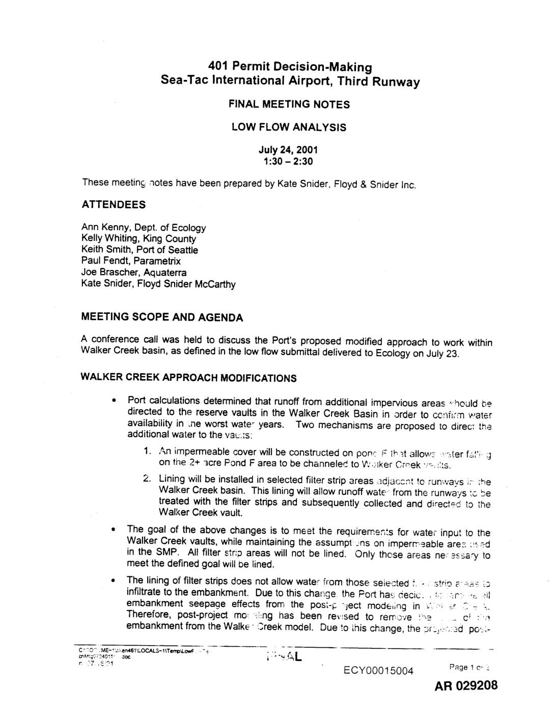
EXH AR029208: 401 Permit Decision-Making, Sea-Tac Airport Third Runway — Final Meeting Notes, Low Flow Analysis
Final meeting notes from July 24, 2001 conference call on 401 Permit Decision-Making for Sea-Tac International Airport Third Runway, Low Flow Analysis. Prepared by Kate Snider, Floyd & Snider Inc. Attendees included Ann Kenny (Dept. of Ecology), Kelly Whiting (King County), Keith Smith (Port of Seattle), Paul Fendt (Parametrix), Joe Brascher (Aquaterra). Discusses Port of -
 2001-06-25
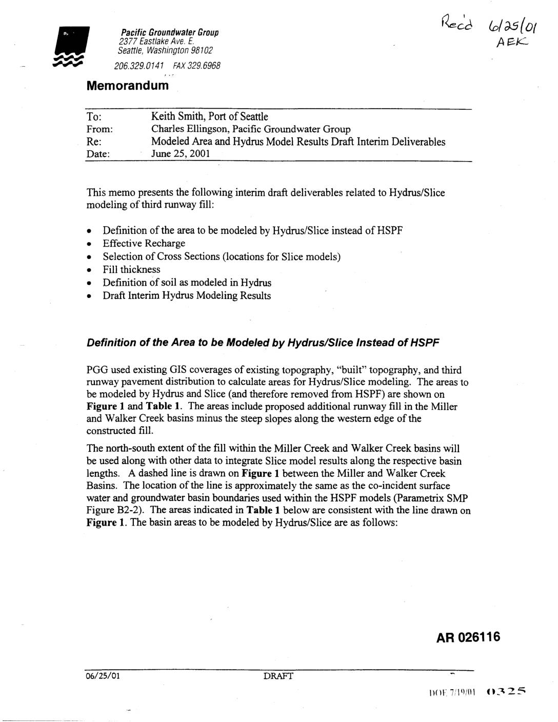
EXH AR026116: Memo — Modeled Area and Hydrus Model Results Draft Interim Deliverables
A June 2001 technical memo from Pacific Groundwater Group to the Port of Seattle outlines groundwater modeling work related to the proposed Sea-Tac Airport third runway construction. The memo defines areas to be analyzed using Hydrus/Slice modeling software instead of the standard HSPF model, focusing on how new runway fill in the Miller Creek and Walker Creek basins will affect groundwater recharge. It also describes the selection of three representative hydrogeologic cross sections and methods for calculating effective recharge, accounting for runoff from impervious runway surfaces into surrounding pervious fill areas.