TagMap(375)
-
 2002-02-19
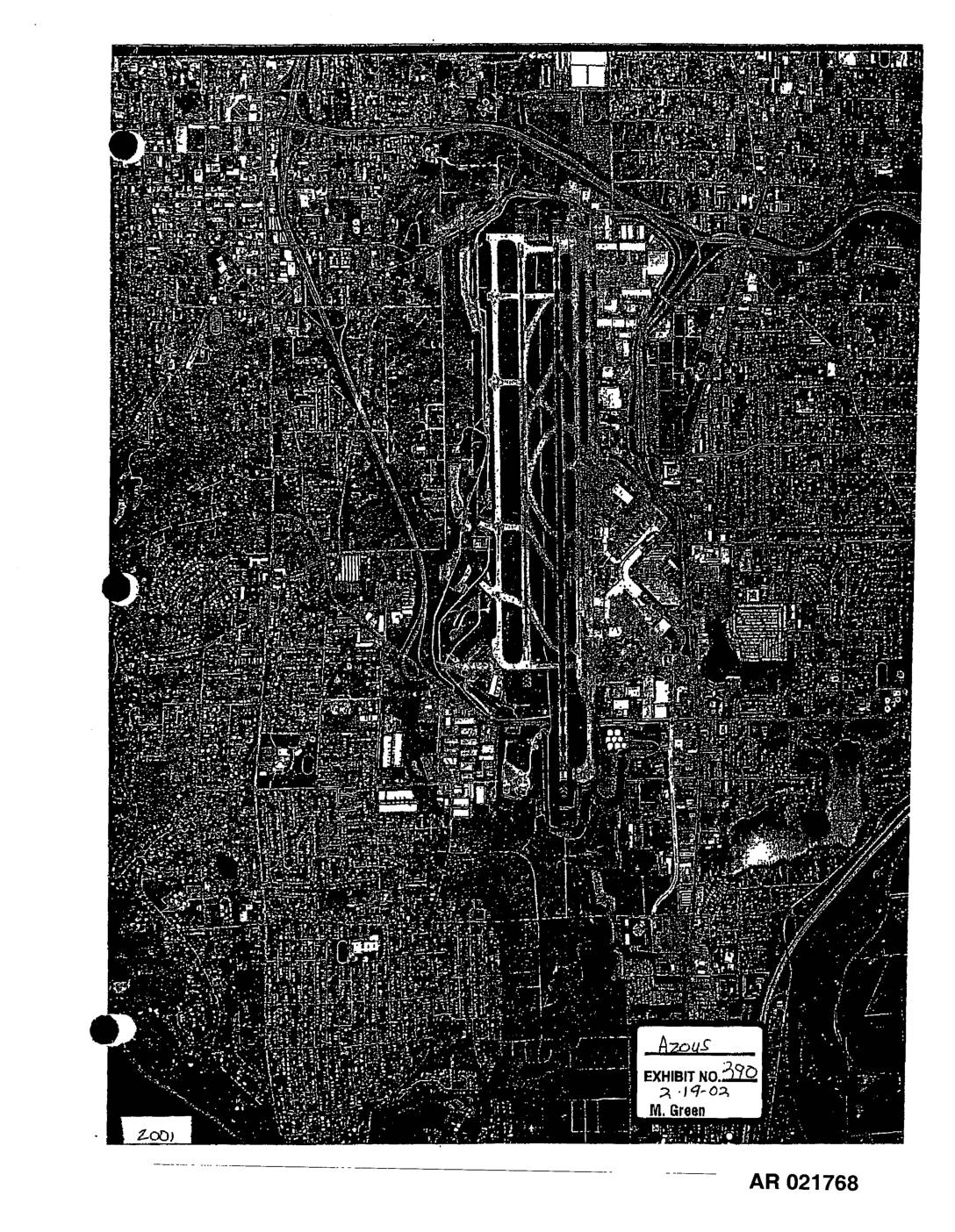
EXH 390: STIA Aerial Photographs 1997 2001
These two aerial photographs, dated 1997 and 2001, show overhead views of Seattle-Tacoma International Airport (Sea-Tac) and its surrounding neighborhoods. The images, produced by Walker & Associates and entered as Exhibit 390 in a February 2002 proceeding, document the airport's runway layout and adjacent residential and commercial areas over time. They appear to be part of an administrative record (AR 021768–021769) related to airport noise policy or land-use impact analysis. -
 2002-02-18
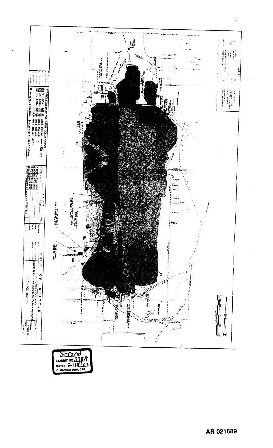
EXH 379A: Comprehensive Storm Drainage System Plan — Drainage Basins Map
This document is a map from the Port of Seattle showing the comprehensive storm drainage system plan and drainage basins for the Seattle port facility. It identifies stormwater drainage basin color codes, outfall locations, and pump station locations across the property. The figure was entered as Exhibit 379A on February 18, 2002, in proceedings recorded by C. Mangio, RMR, CRR. -
 2002-02-07
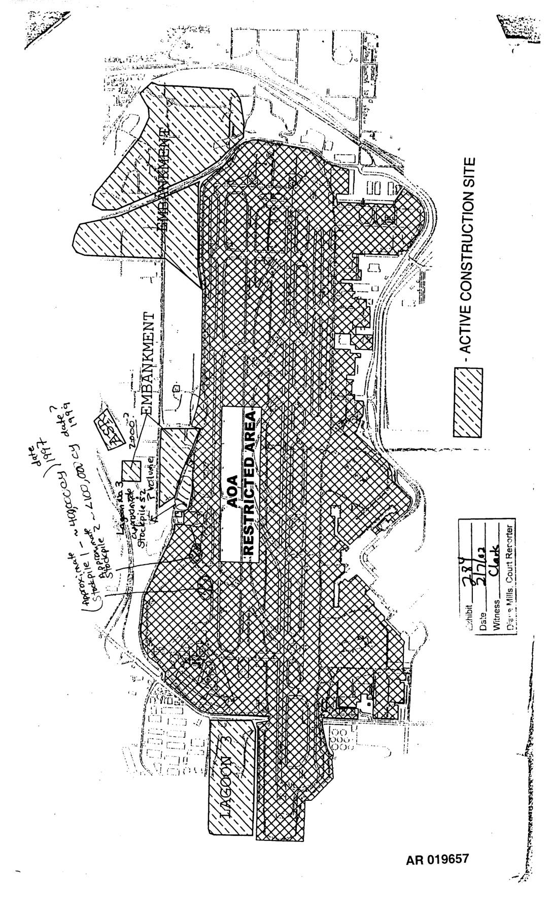
EXH 284: STIA Third Runway Active Construction Site Map AOA Restricted Area Embankment Lagoon Stockpile
This document (AR 019657) is a site map of an active construction area at what appears to be Sea-Tac Airport, showing a restricted AOA (Air Operations Area) zone, embankments, and Lagoon 3. Handwritten annotations reference two stockpiles dated 1997 and 1999, with approximate volumes of 400,000 cubic yards and 2,100,000 cubic yards respectively. The map was entered as Exhibit 284 on 2/7/02, with witness Clark and court reporter Diane Mills. -
 2001-11-07
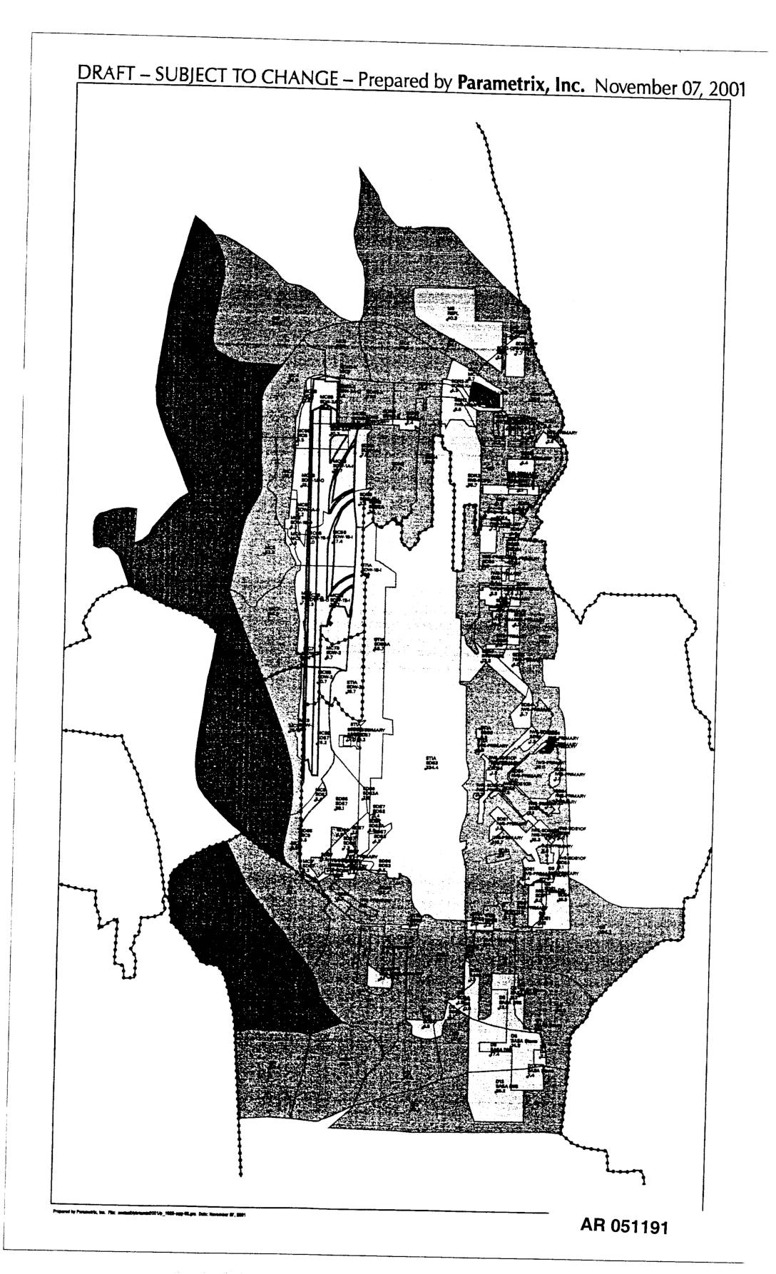
EXH AR051191: Map Prepared by Parametrix, Inc.
Draft map prepared by Parametrix, Inc. on November 07, 2001, AR 051191. The document is a draft aerial/planning map showing what appears to be the Sea-Tac Airport area and surrounding communities, with various zones, boundaries, and site designations marked. Labeled as draft and subject to change. -
 2001-09-28
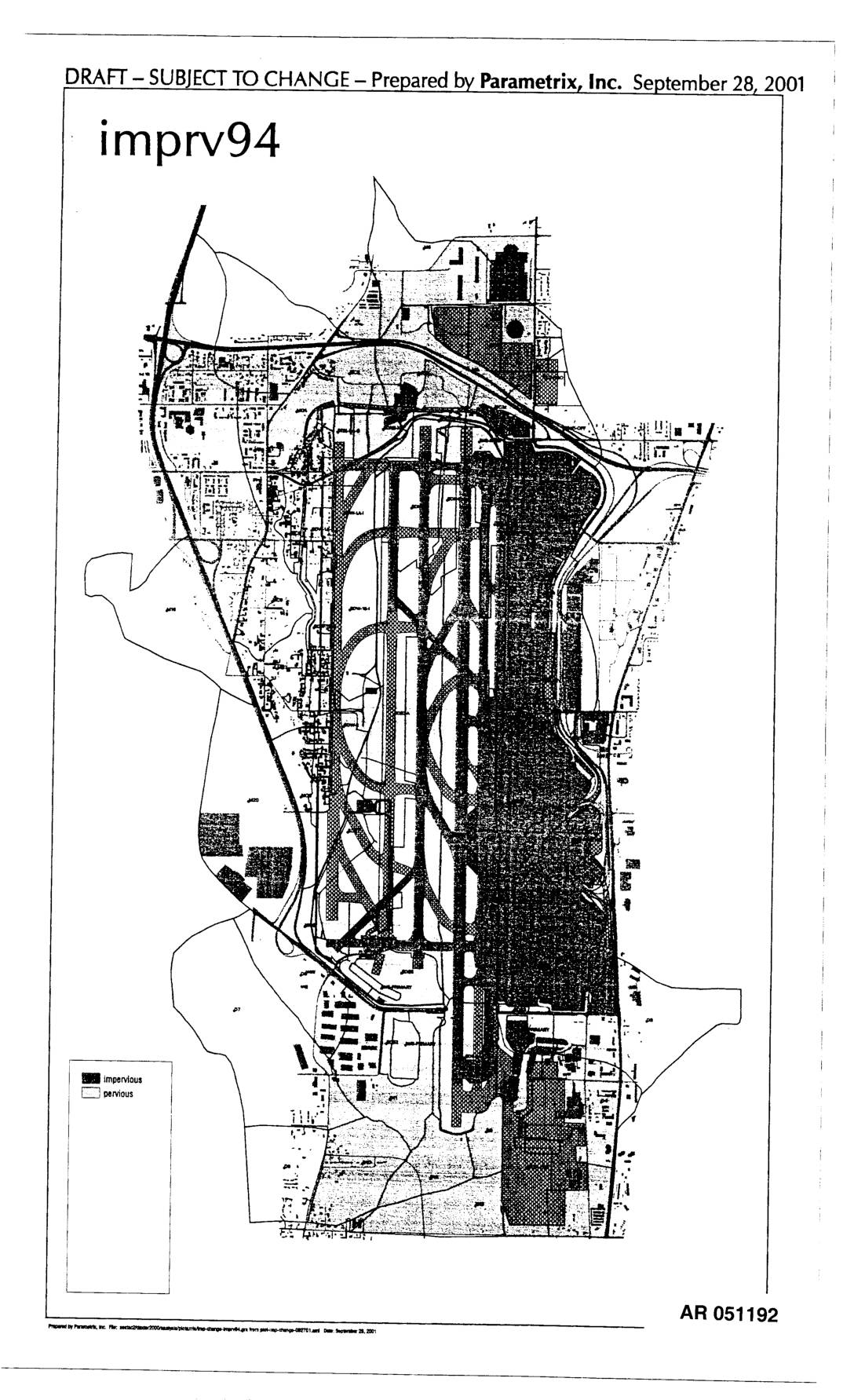
EXH AR051192: Impervious/Pervious Surface Maps for Sea-Tac Airport Area (imprv94 and imprv04)
Draft maps prepared by Parametrix, Inc. on September 28, 2001, showing impervious and pervious surface coverage for the Sea-Tac Airport area. Two maps labeled imprv94 and imprv04 depict land surface conditions with dark shading indicating impervious surfaces and light areas indicating pervious surfaces. Documents are part of Administrative Record AR 051192 and AR 051193, likely -
 2001-09-27
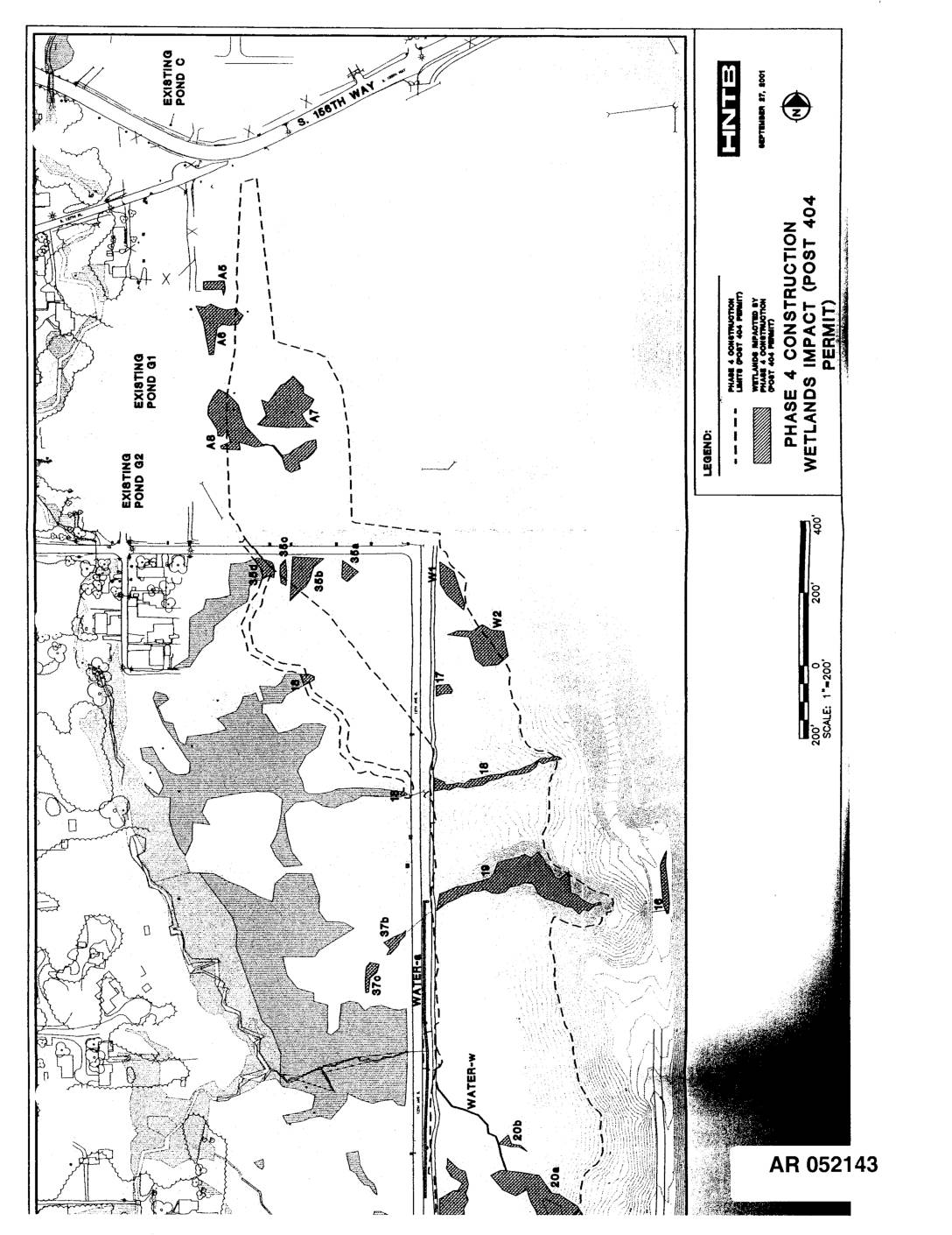
EXH AR052143: Phase 4 Construction Wetlands Impact (Post 404 Permit) Map
HNTB-prepared maps dated September 27, 2001 showing Phase 4 Construction Wetlands Impact under Post 404 Permit at Sea-Tac Airport. Administrative Record documents AR052143 and AR052144 depict wetland areas impacted by Phase 4 construction, including labeled wetland polygons (A5, A6, A7, A8, W1, W2, wetlands 16, 18, 19, 20a, 20b, 21, 22, 23, 35a, 35b, 35c, -
 2001-06-22
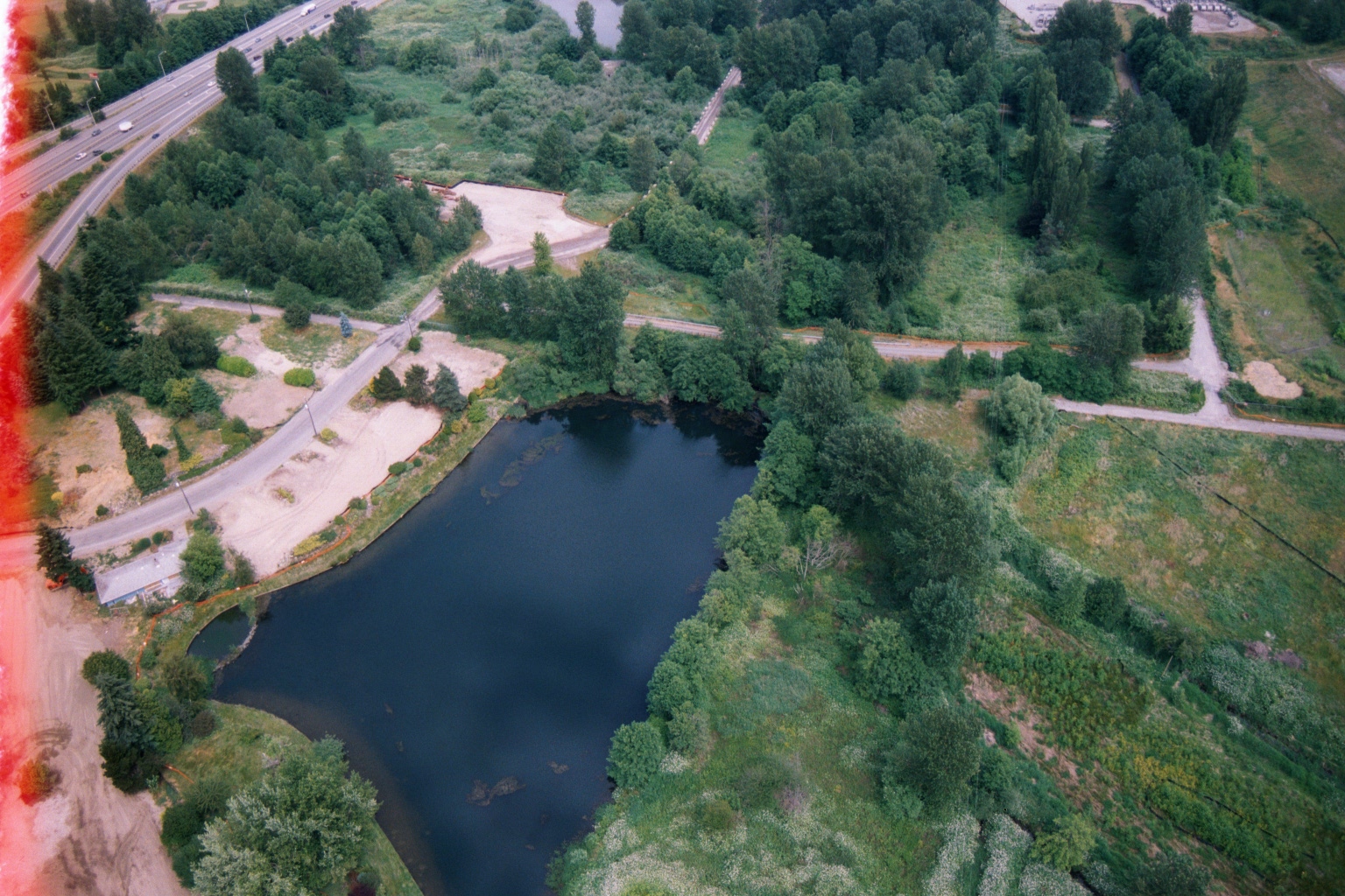
Aerial View of Retention Pond and Highway Near Sea-Tac Airport
Aerial film photograph showing a dark pond or retention basin adjacent to a winding road, with a multi-lane highway visible in the upper left. The lush green, semi-developed landscape and highway configuration are consistent with the Sea-Tac Airport region of Washington State. The film shows edge fogging on the left side. -
 2001-06-22
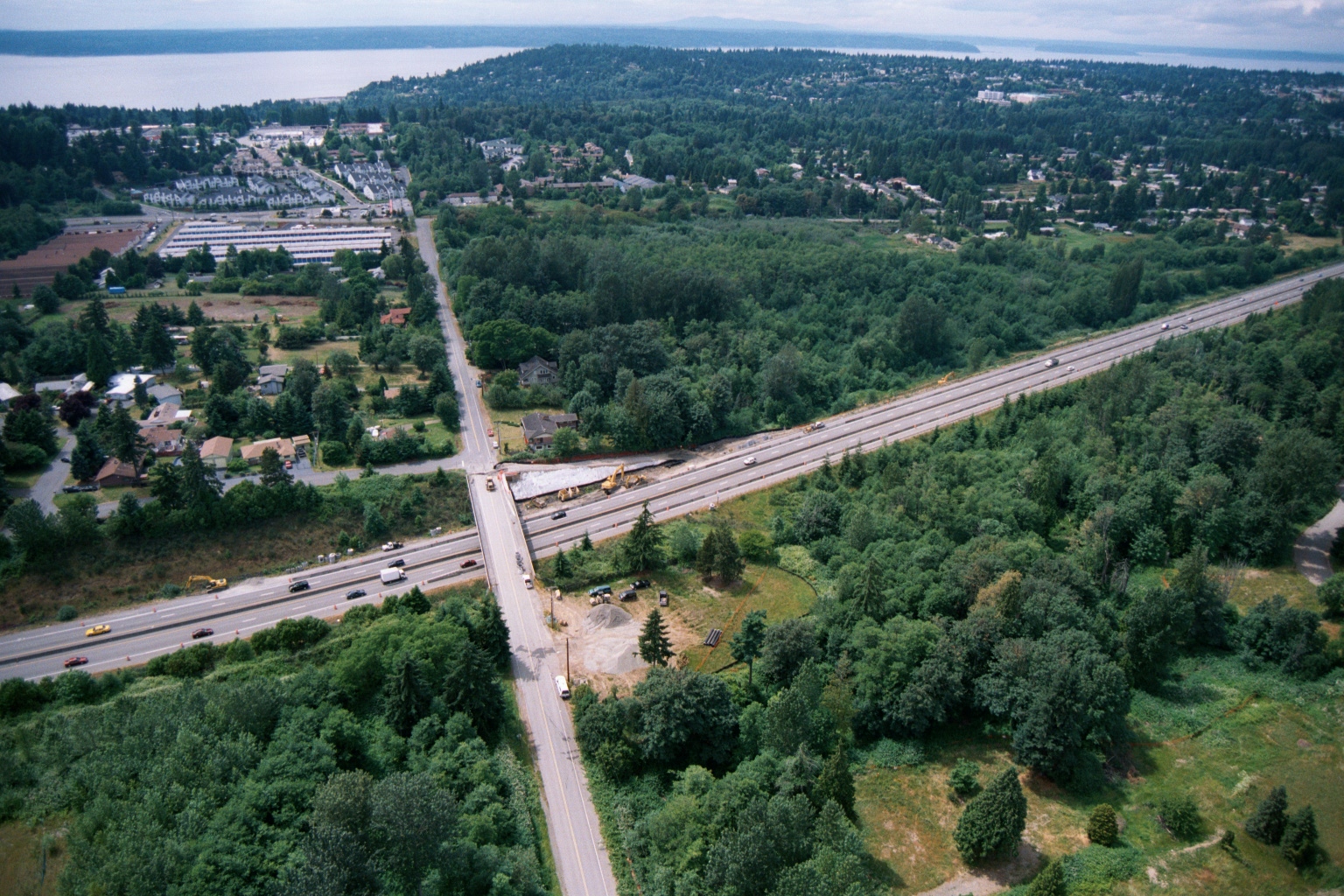
Aerial View of Highway Overpass Construction Near Puget Sound in the Greater Seattle-Tacoma Area
Aerial photograph showing a multi-lane highway (likely I-5 or similar Pacific Northwest interstate) intersecting with a surface road, with active bridge or overpass construction visible at the crossing. A body of water consistent with Puget Sound is visible in the background, along with suburban residential development and dense tree cover, suggesting a location in the greater Seattle-Tacoma area. -
 2001-06-22
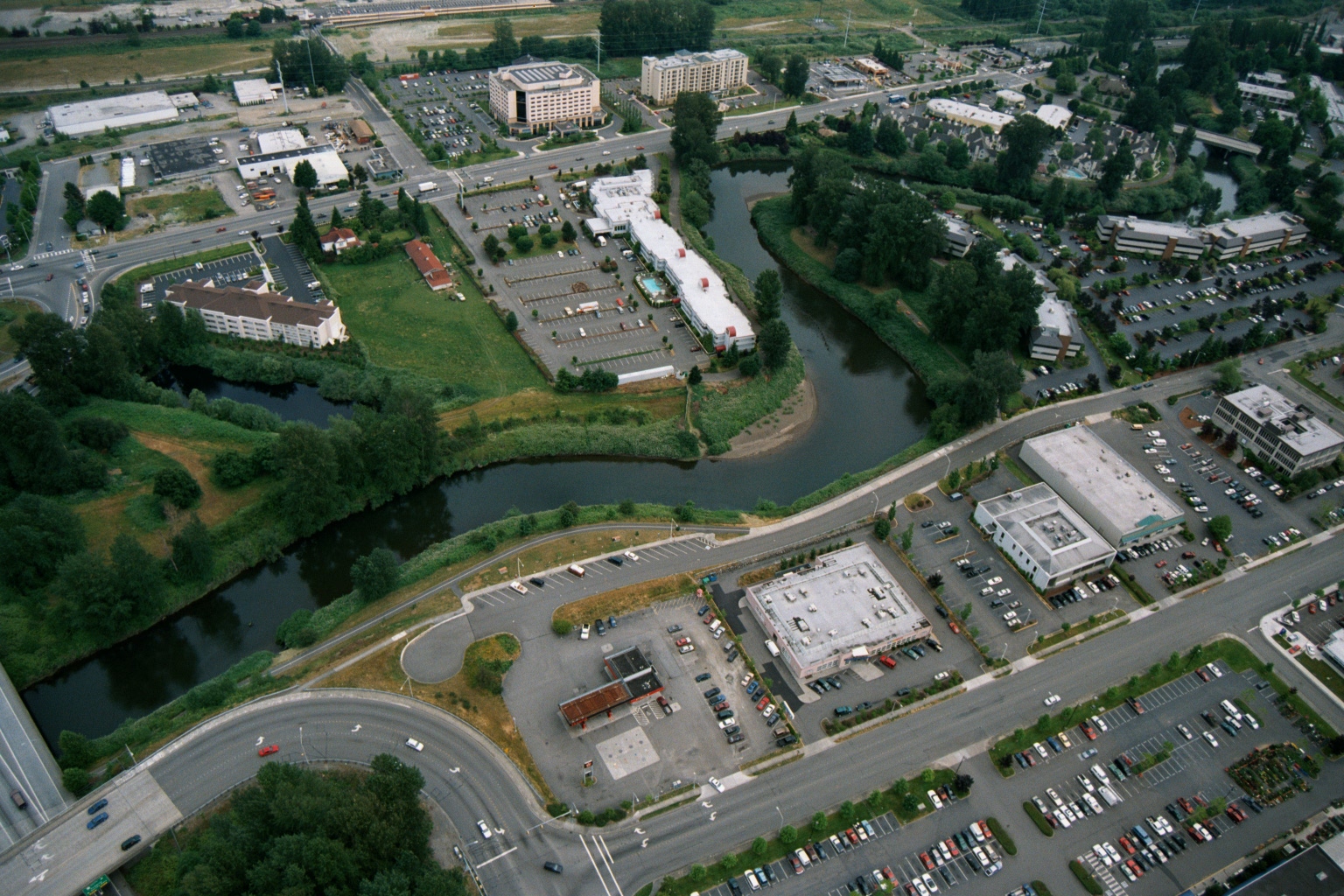
Aerial View of Suburban Development and Riparian Corridor Near Sea-Tac Airport
Aerial view showing a suburban area with hotels, office buildings, parking lots, and a meandering river or creek corridor with dense riparian vegetation. The image appears to document land use and development patterns near a waterway, potentially relevant to noise or environmental planning in the Sea-Tac Airport region of Washington State. -
 2001-06-22
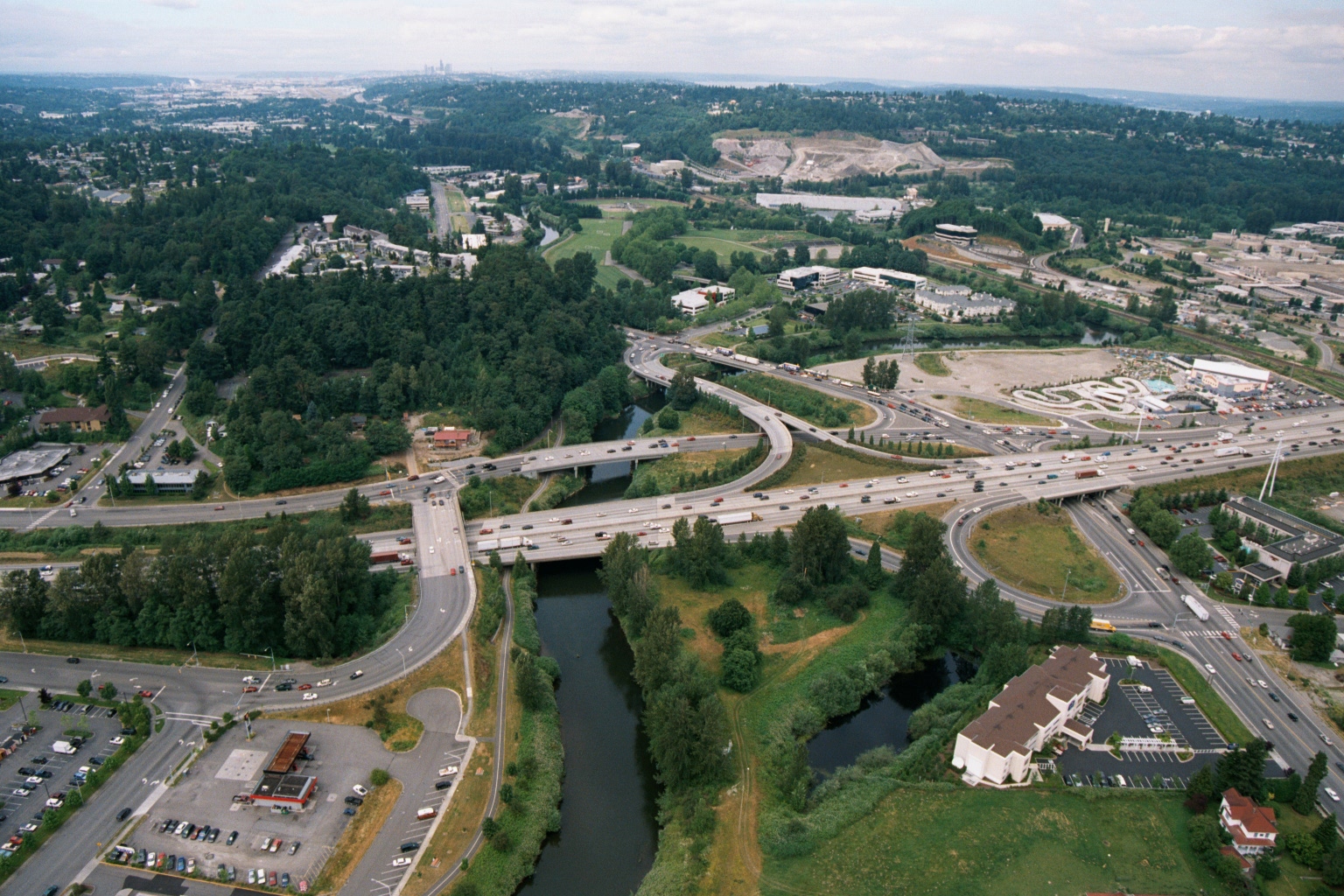
Aerial View of Highway Interchange Near Seattle
Aerial photograph showing a major highway interchange where a multi-lane freeway crosses a river or creek, surrounded by mixed commercial and residential development with dense tree cover. A skyline consistent with Seattle is faintly visible in the background, suggesting this may be a suburban area south or east of Seattle, possibly along I-405 or a similar corridor.