Notes
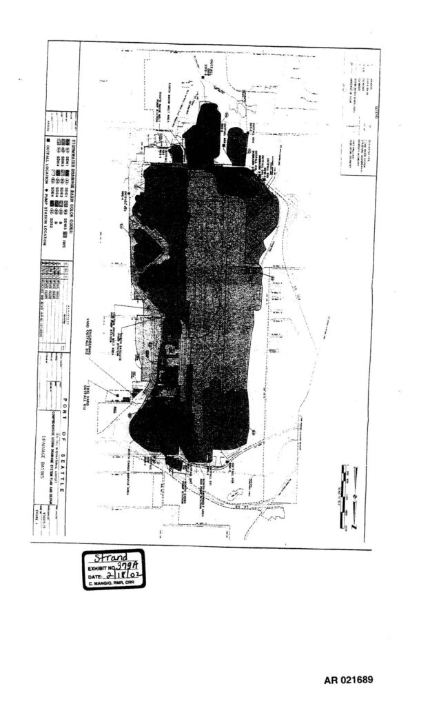
Exhibit 379A (AR 021689), dated 2-18-02, is a map from the Port Of Seattle Comprehensive Storm Drainage System Plan and Report depicting stormwater drainage basins, outfall locations, and pump station locations across the Sea-Tac Airport property. The map identifies stormwater drainage basin color codes including SDN1, SDN4, SDE1, SDE4, SDS1, SDS2, SDS3, SDS4, SDS5, SDW2, SDW5, and IWS, with labeled outfall locations including Yard Outfall 012 and South Yard Outfall 010. Filed in PCHB proceedings related to the Third Runway EIS. Certified by C. Mangio, RMR, CRR as Strand Exhibit 379A.