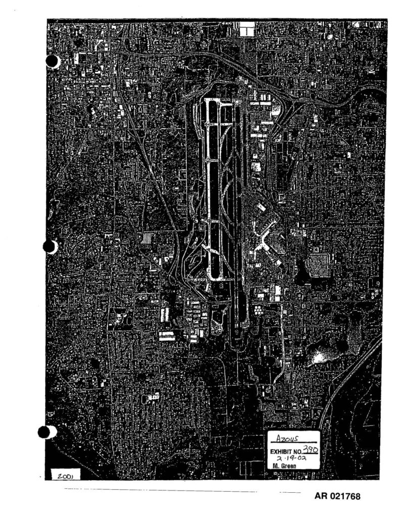
These two aerial photographs, dated 1997 and 2001, show overhead views of Seattle-Tacoma International Airport (Sea-Tac) and its surrounding neighborhoods. The images, produced by Walker & Associates and entered as Exhibit 390 in a February 2002 proceeding, document the airport's runway layout and adjacent residential and commercial areas over time. They appear to be part of an administrative record (AR 021768–021769) related to airport noise policy or land-use impact analysis.Open full document
Notes
Exhibit 390 (AR021768–AR021769), entered 2-19-02 by M. Green in PCHB case AZ045, consists of two aerial photographs of Sea-Tac Airport and surrounding communities. One image is dated 2001 and one is dated 1997 (credited to Walker & Associates). The photographs show runway layout, taxiways, terminal area, and surrounding urban development. Filed as part of the Third Runway EIS administrative record before the Pollution Control Hearings Board of the State of Washington.