TagMap(375)
-
 1961-01-01
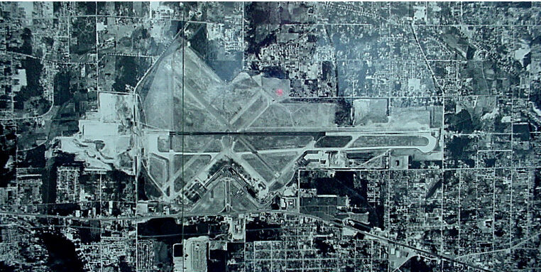
Sea-Tac Airport Aerial Photograph, 1961
Black-and-white aerial satellite or survey photograph showing a large commercial airport with multiple runways in an X/V configuration, surrounded by dense urban development. No visible text, labels, or watermarks are present to confirm the specific airport identity or date. -
 1948-01-01
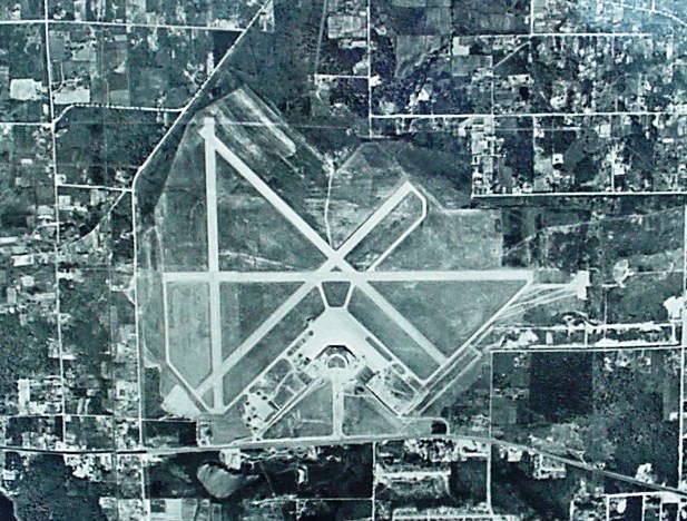
1948 Aerial Photograph of Airport Runways
Black-and-white aerial photograph showing a general aviation or regional airport with multiple intersecting runways in an X/triangle configuration, surrounded by a grid of rural and suburban parcels. No visible text, captions, or identifying markings are present in the image. -
 1948-01-01
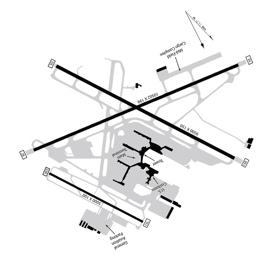
Seatac Airport Map 1948 rotated
An airport diagram showing multiple runways including dimensions 10502x199 and 9500x150 and 5000x100, with labeled facilities including Main Terminal, Tower, U.S. Customs, Mid-Field Cargo Complex, and General Aviation Parking. Runway end identifiers visible include 33L, 15L, 15R, 28, and 10, suggesting a multi-runway facility, though the specific airport is not explicitly named in visible text. -
 1948-01-01
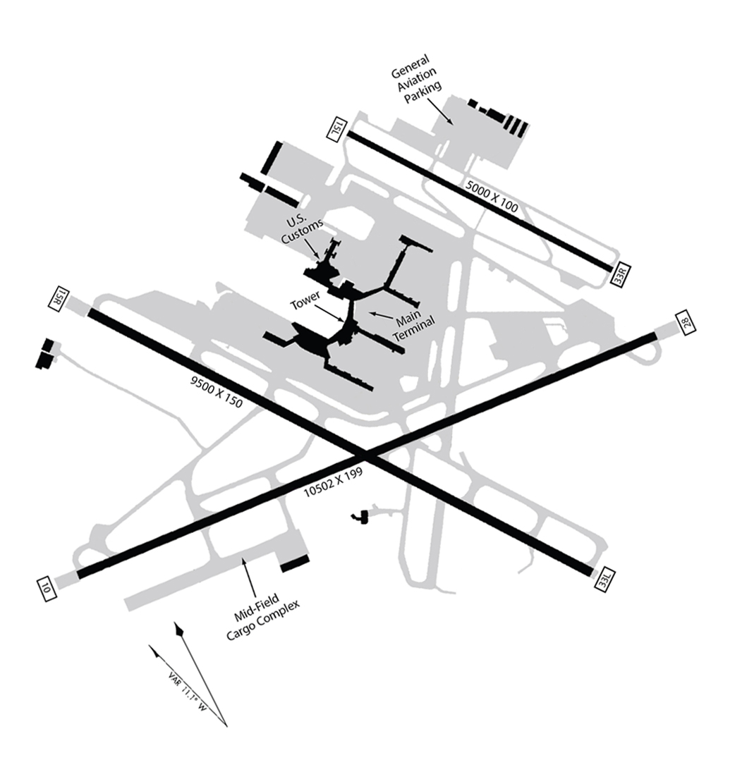
Sea-Tac Airport Layout Map with Three Runways (1948)
Airport layout diagram of Seattle-Tacoma International Airport showing three runways (9500x150, 10502x199, and 5000x100 ft), with labeled facilities including the Main Terminal, Tower, U.S. Customs, General Aviation Parking, and Mid-Field Cargo Complex. Runway end identifiers visible include 15L, 33R, 33L, 15R, and others, with a magnetic variation note of VAR 11.1° W. -
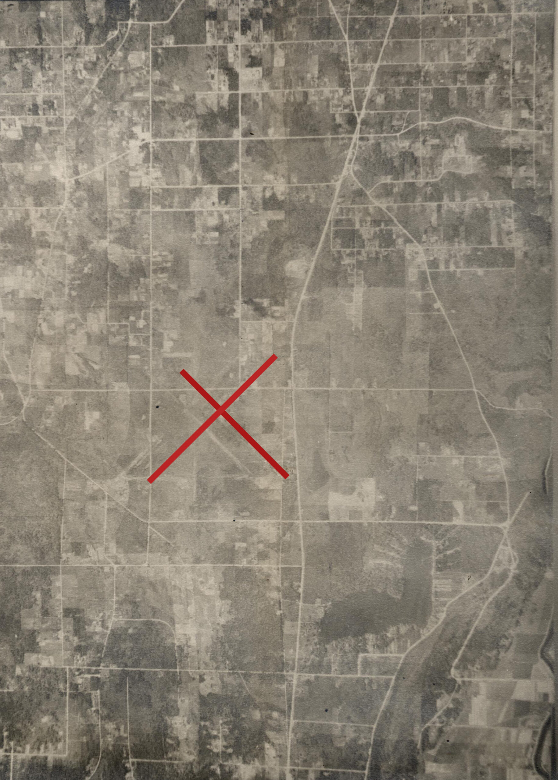 1942-04-13
Aerial Photograph of Bow Lake
A black-and-white aerial photograph showing a grid-patterned rural or semi-rural landscape with roads, fields, and scattered development. A red X has been overlaid on the image to mark a specific location, suggesting use in planning, noise contour mapping, or site analysis documentation.