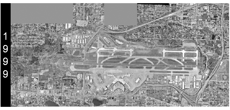
A grayscale aerial photograph dated 1999 shows a large commercial airport with multiple parallel runways, taxiways, terminals, and surrounding suburban development. The '1999' watermark is visible on the left side of the image, indicating the year this aerial survey was conducted.Open full document
Notes
A grayscale aerial photograph dated 1999 shows a large commercial airport with multiple parallel runways, taxiways, terminals, and surrounding suburban development. The ‘1999’ watermark is visible on the left side of the image, indicating the year this aerial survey was conducted.