TagDes Moines(255)
-
 2002-01-10
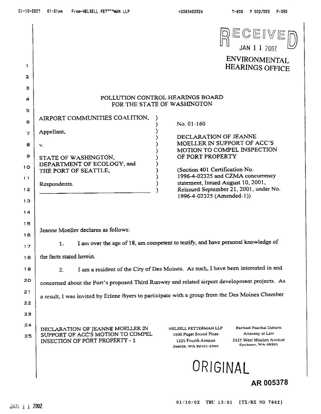
EXH AR005378: Declaration of Jeanne Moeller in Support of ACC’s Motion to Compel Inspection of Port Property
Declaration by Jeanne Moeller, Des Moines resident, filed January 10, 2002, in support of Airport Communities Coalition (ACC) Motion to Compel Inspection of Port Of Seattle property, PCHB Case No. 01-160. Moeller states she participated in a Des Moines Chamber of Commerce tour of the proposed Third Runway construction area at Seattle-Tacoma International Airport approximately -
 2001-11-01
EXH AR052455: Des Moines Way Nursery Mitigation Plan, Seattle-Tacoma International Airport Master Plan Update Improvements
Parametrix, Inc. prepared this Des Moines Way Nursery Mitigation Plan (AR 052455) for Port Of Seattle, Seattle-Tacoma International Airport, November 2001, project number 556-2912-001(03). The plan covers wetland restoration and enhancement at the Des Moines Way Nursery mitigation site, including grading design, expected hydrology, wildlife considerations, planting plan, vegetation monitoring, performance standards, maintenance and contingency -
 2001-07-11
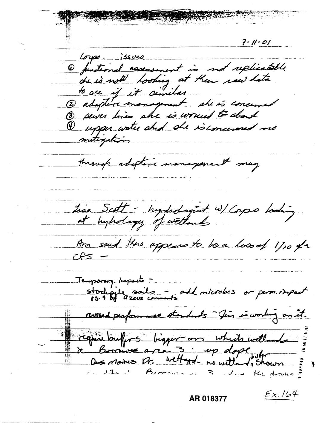
Exhibit 164: Handwritten Notes on Corps Issues — Wetlands Hydrology, Adaptive Management, Des Moines
Handwritten meeting notes dated 7-11-01 (AR 018377, Exhibit 164) regarding Army Corps of Engineers issues with wetland functional assessment, hydrology (Lisa Scott, Corps hydrologist), adaptive management, sewer lines, upper water shed mitigation, and Des Moines Dr. wetland. Notes reference a loss of 1/10 CFS, temporary impacts from stockpile soils and microbes, revised performance standards, buffer -
 2001-07-09
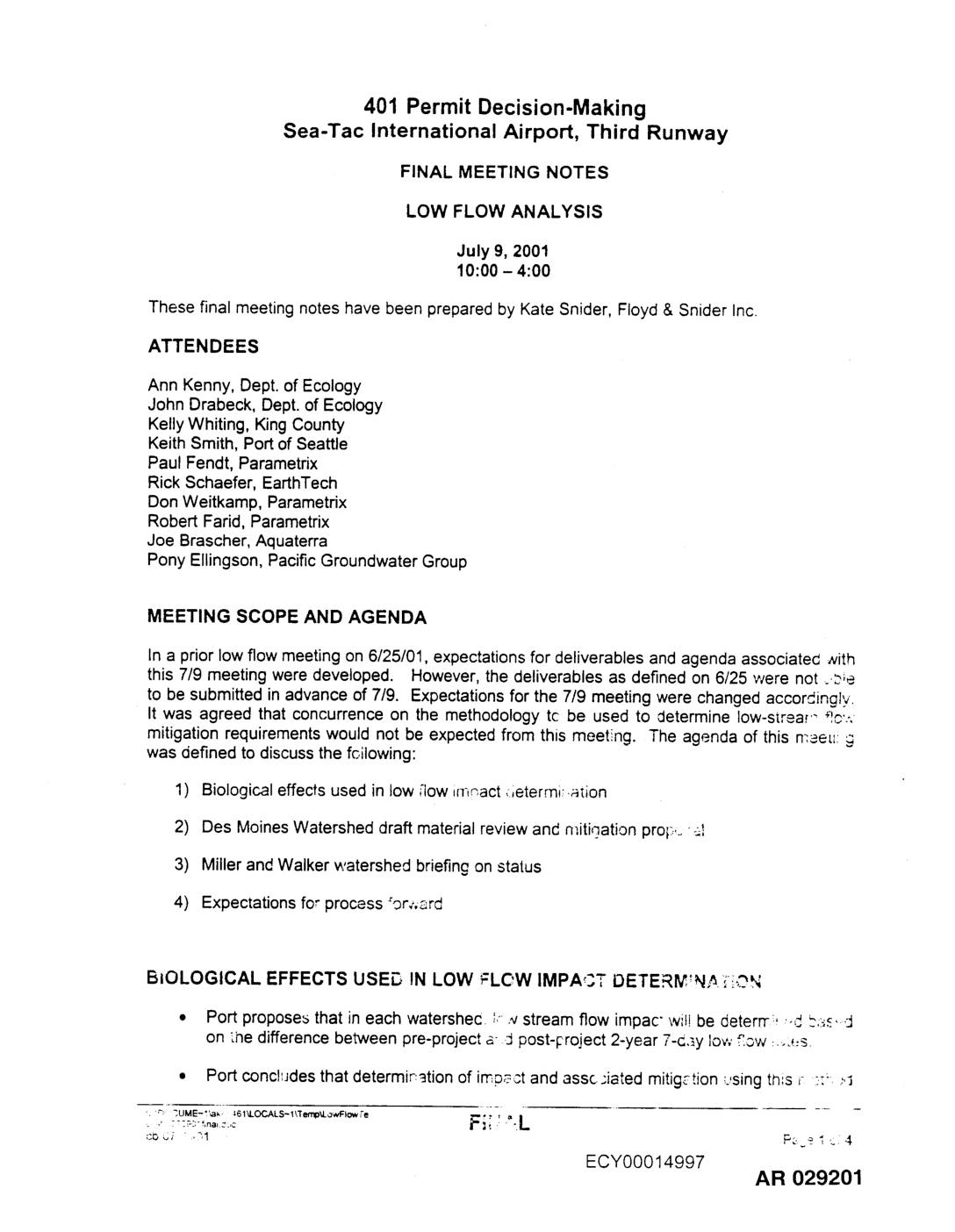
EXH AR029201: Final Meeting Notes – Low Flow Analysis, Sea-Tac Airport Third Runway, July 9, 2001
Final meeting notes prepared by Kate Snider of Floyd & Snider Inc. for the 401 Permit Decision-Making process for Seattle-Tacoma International Airport Third Runway, covering a Low Flow Analysis meeting held July 9, 2001. Attendees included representatives from Washington Department of Ecology (Ann Kenny, John Drabeck), King County (Kelly Whiting), Port Of Seattle (Keith Smith), -
 2001-07-09
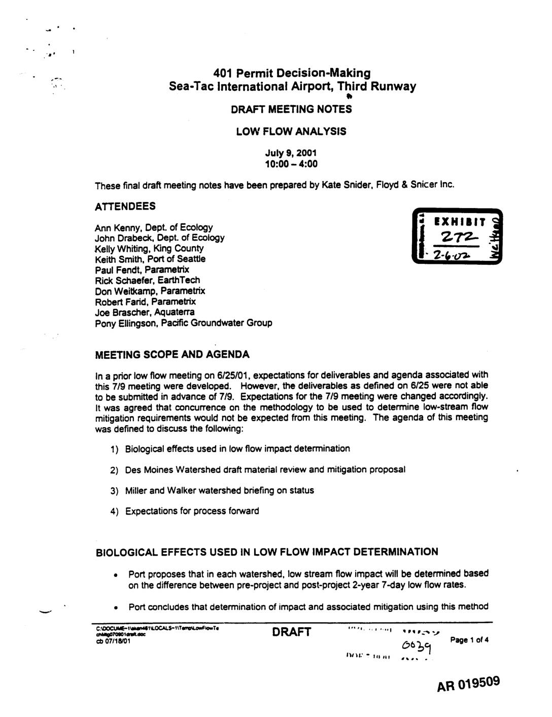
EXH 272: Draft Meeting Notes — Low Flow Analysis, 401 Permit Decision-Making, STIA Third Runway (July 9, 2001)
These draft meeting notes from July 9, 2001 document a technical working session between the Port of Seattle, Washington Department of Ecology, and King County regarding low stream flow analysis for the Sea-Tac International Airport Third Runway project. The group discussed methods for determining low flow impacts on fish habitat, reviewed a mitigation proposal for the Des Moines Watershed involving a 0.1 cfs compensatory flow release from July 24 through October 24, and received a status briefing on the Miller and Walker watershed analyses. Key topics included the use of 2-year 7-day low flow rates to calculate mitigation requirements, reserve vault sizing, and how to handle non-hydrologic effects such as water rights removal and septic system impacts in the property acquisition area. -
 2001-07-09
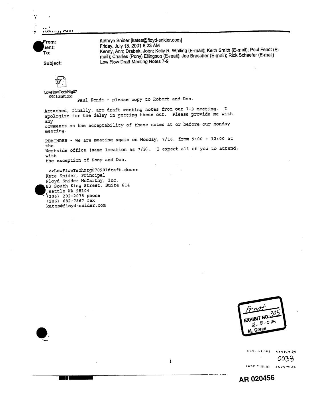
EXH AR020456: Draft Meeting Notes – Low Flow Analysis, STIA Third Runway 401 Permit, July 9, 2001
These draft meeting notes from a July 9, 2001 technical meeting cover low flow analysis related to the 401 Permit decision-making process for Sea-Tac International Airport's Third Runway project. Attendees from the Department of Ecology, King County, Port of Seattle, and several consulting firms discussed methods for determining low stream flow impacts and mitigation requirements across affected watersheds. Key topics included biological effects on fish habitat, a proposed 0.1 cfs mitigation flow for the Des Moines Watershed, and the use of 2-year 7-day low flow rates to guide mitigation planning. -
 2001-07-06
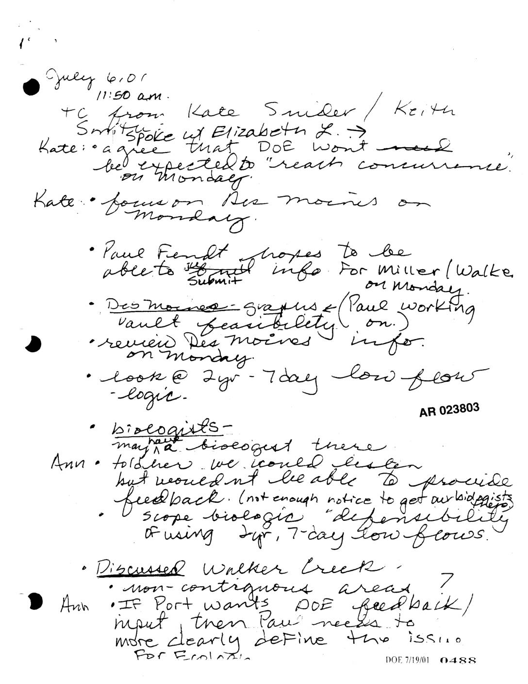
EXH AR023803: Handwritten Notes – Jul 6 2001 Teleconference, Des Moines, Walker Creek, Low-Flow Logic
Notes from a July 6, 2001 telephone conference involving Kate Snider, Keith Smith, and others discuss coordination with the Department of Energy (DOE) and review of Des Moines-related graphics and vault feasibility information. Topics include biologist availability, the biological defensibility of using 2-year and 7-day low flow data, and the status of Walker Creek non-contiguous areas. Ann reminds participants that Ecology is seeking all backup information in the format agreed upon at the June 25th meeting. -
 2001-06-22
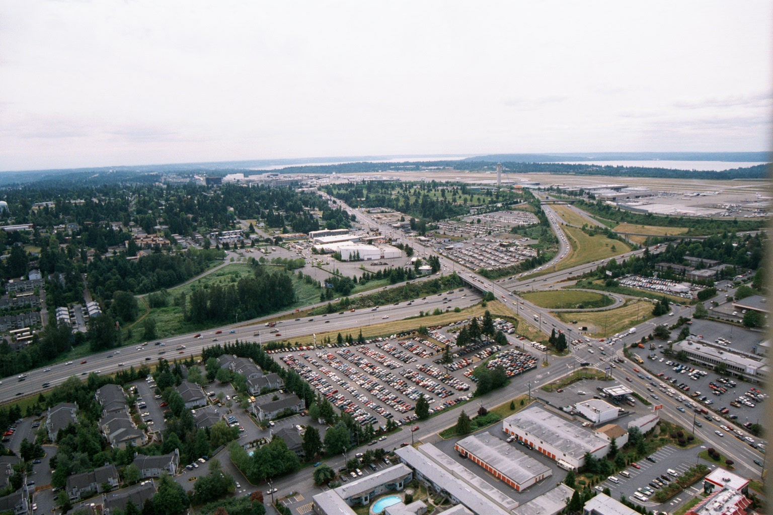
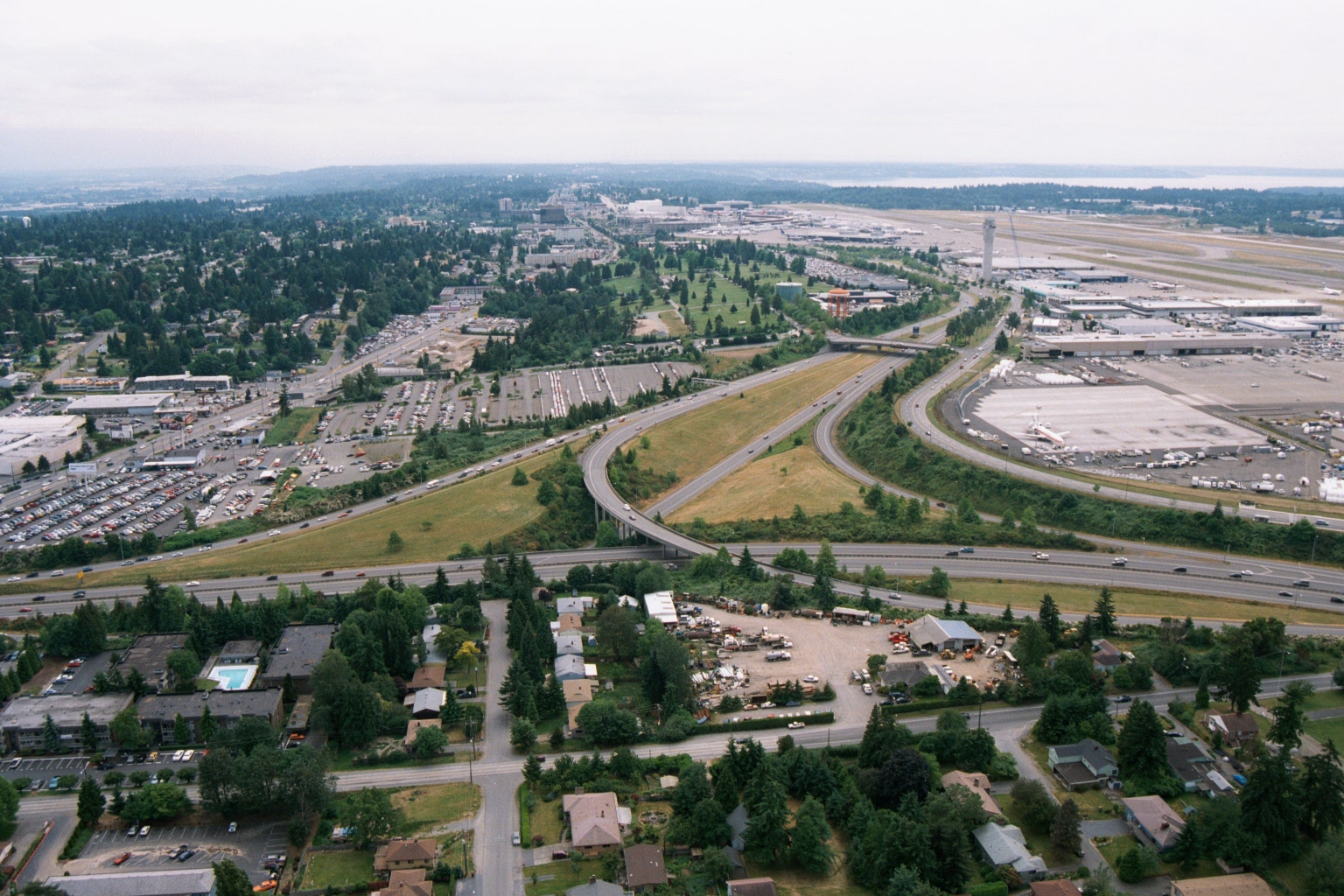
Aerial View of Sea-Tac Airport, Highway 99 Corridor, and Surrounding Development
Aerial photograph looking northwest showing Seattle-Tacoma International Airport (Sea-Tac) in the background with its runways and terminal area visible, along with Puget Sound on the horizon. The foreground shows the Interstate 99/Highway 99 corridor, large surface parking lots, residential apartment complexes, and commercial development in the cities of SeaTac or Des Moines, Washington. -
 2001-06-22
Aerial View of Sea-Tac Airport, Interstate 5, and Surrounding Communities
Aerial photograph looking northward toward Seattle-Tacoma International Airport (SEA-TAC), showing the airport terminal, control tower, runways, and aircraft gates on the right, with Interstate 5 interchange in the foreground and Puget Sound visible on the horizon. Residential neighborhoods, commercial properties, and parking areas in the cities of SeaTac or Des Moines are visible in the foreground, illustrating the airport's proximity to surrounding communities relevant to noise-impact planning. -
 2001-02-21
EXH AR025289: Five-Year Project RP — Des Moines Water Quality Monitoring Program
This February 2001 report by Herrera Environmental Consultants presents a five-year summary of water quality monitoring conducted for the City of Des Moines, Washington, covering three creek basins: Des Moines Creek, Massey Creek, and North Fork McSorley Creek. The report examines a range of water quality parameters including temperature, pH, dissolved oxygen, metals, nutrients, turbidity, and fecal coliform bacteria, as well as benthic invertebrate conditions as indicators of stream health. It was prepared for the City's Surface Water Management Utility and provides data intended to inform stormwater and surface water management decisions in the Des Moines area near Sea-Tac Airport.