TagDes Moines(255)
-
 2011-11-15
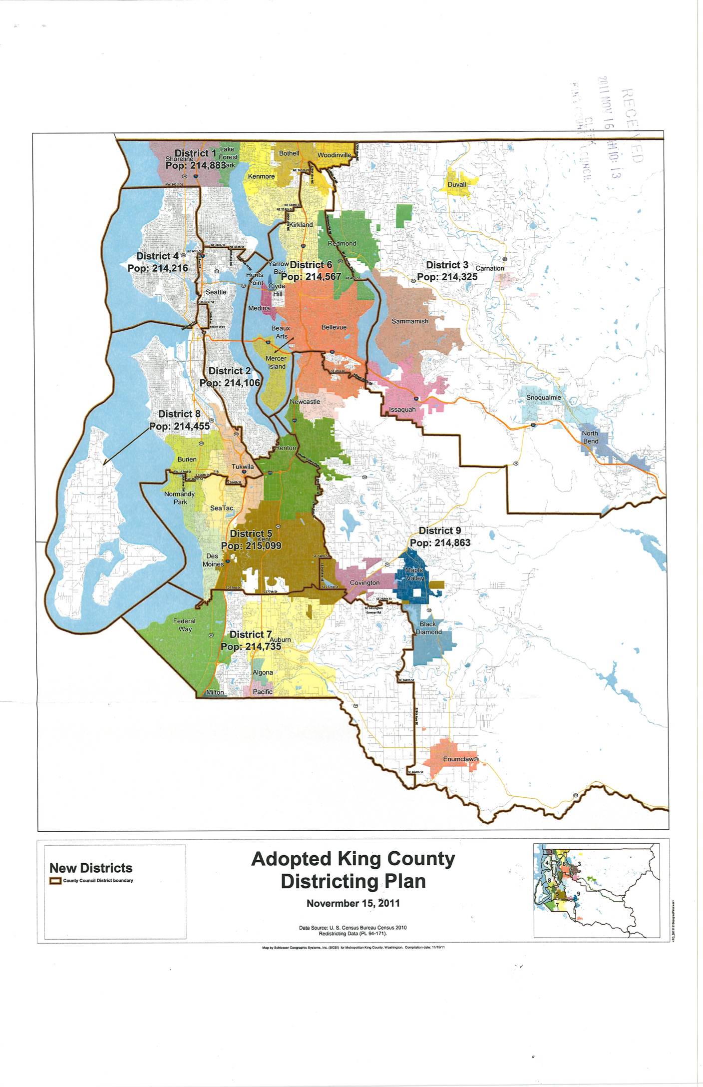
Adopted King County Districting Plan
This document presents the Adopted King County Districting Plan, approved on November 15, 2011, which redrew the boundaries of the nine King County Council districts based on 2010 U.S. Census data. Each district was drawn to achieve roughly equal population, with counts ranging from approximately 214,106 (District 2) to 215,099 (District 5). The plan covers the greater King County area, including communities such as Seattle, Bellevue, Auburn, Federal Way, and areas near Sea-Tac Airport. -
 2010-02-05
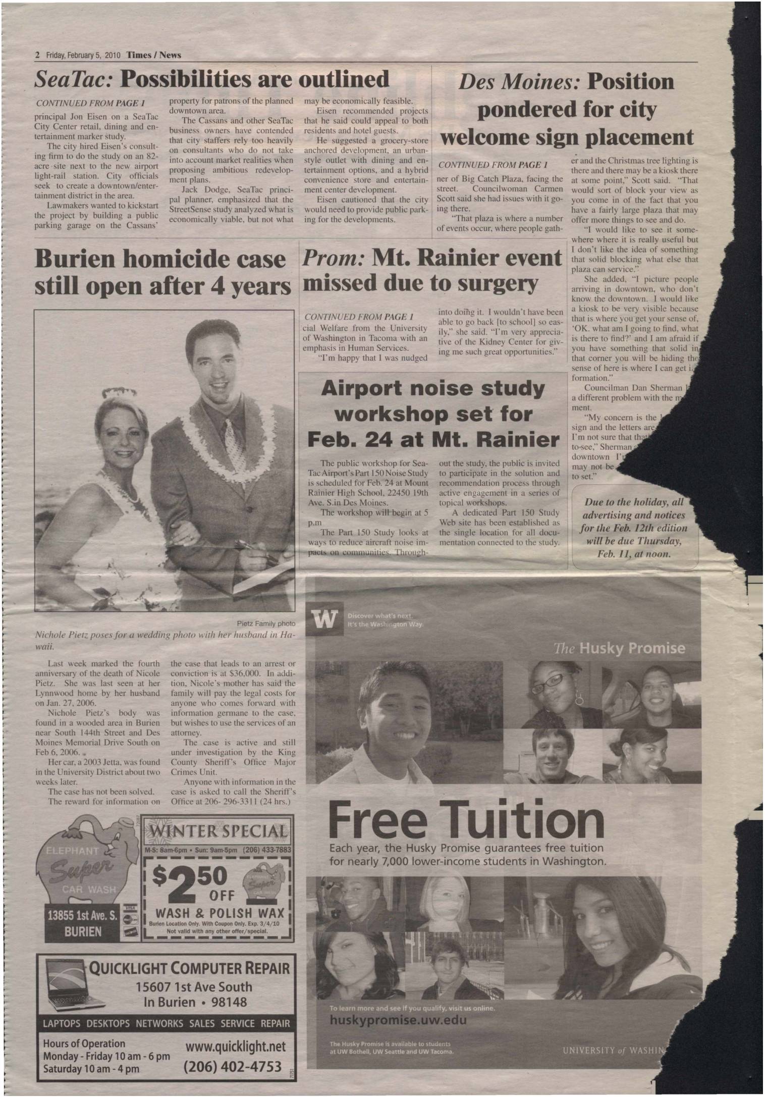
Sea-Tac lawmakers rescind eminent domain ordinance; airport noise study workshop set for Feb. 24 at Mt. Rainier
SeaTac lawmakers voted to rescind a controversial eminent domain ordinance targeting a privately owned parking lot near the airport light-rail station, while also hearing a retail and entertainment feasibility study for an 82-acre proposed city center development adjacent to the airport. Separately, a public workshop on SeaTac Airport's Part 150 Noise Study—which examines ways to reduce aircraft noise impacts on surrounding communities—was scheduled for February 24 at Mount Rainier High School in Des Moines. The workshop was part of an ongoing public engagement process inviting residents to participate in shaping noise-reduction solutions and recommendations. -
 2010-01-06
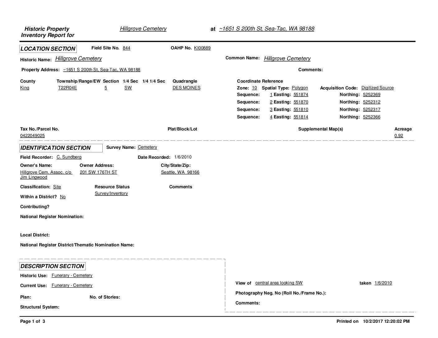
Historic Property Inventory Report: Hillgrove Cemetery, Sea-Tac, WA
Hillgrove Cemetery is a small, historic community cemetery located near Sea-Tac Airport at approximately 1651 S 200th St in Sea-Tac, WA, established around 1900 on land donated by early settler Fred Kinkling. Designated a King County Community Landmark in 1982, the 0.92-acre site contains an estimated 350 burials dating from 1889 to 2001, representing pioneers and Civil War veterans from the surrounding Highline/Des Moines area. The cemetery, situated just west of the planned southern route of SR509 on land surrounded by Port of Seattle-owned parcels, has experienced ongoing challenges including vandalism, neglect, and overgrowth. -
 2007-08-09
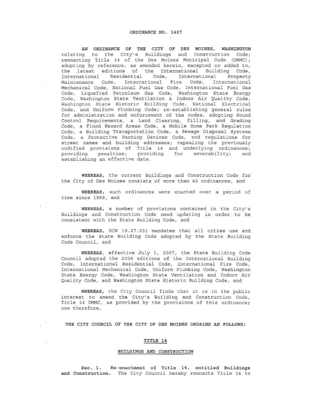
Ordinance No. 1407: Buildings and construction code
Ordinance No. 1407 is a City of Des Moines, Washington municipal ordinance that updates and consolidates the city's Buildings and Construction Code (Title 14) by adopting the latest editions of major building, fire, mechanical, electrical, and plumbing codes, including Sound Control Requirements relevant to the Sea-Tac Airport noise environment. The ordinance repeals more than 40 previously enacted building-related ordinances dating back to 1959 and brings the city into compliance with state-mandated building standards under RCW 19.27.031. It establishes updated rules for administration, enforcement, and a range of construction-related regulations applicable within the City of Des Moines. -
 2007-06-06
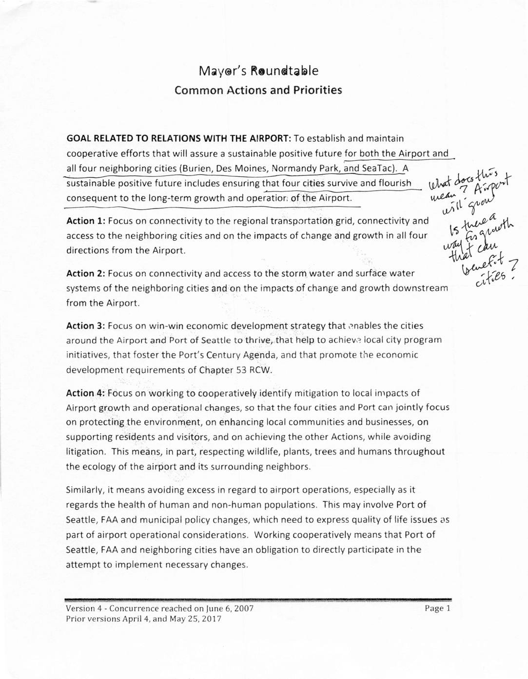
Mayor’s Roundtable common actions and priorities
The Mayor's Roundtable Common Actions and Priorities outlines a cooperative framework between Sea-Tac Airport and four neighboring cities — Burien, Des Moines, Normandy Park, and SeaTac — aimed at ensuring a sustainable future for both the airport and surrounding communities. The document sets out four key actions covering regional transportation connectivity, stormwater impacts, economic development, and mitigation of local environmental and quality-of-life impacts from airport growth. It emphasizes avoiding litigation by requiring the Port of Seattle, FAA, and neighboring cities to work together on policy changes that protect residents, wildlife, and local businesses. -
Risky Runway
The Port’s new mega-project at Sea-Tac rests on a shaky foundation. With serious questions raised about its environmental impacts, its costs, and even its structural feasibility, it looks like a near-billion-dollar boondoggle in the making. by Roger Downey Robert Olander, Des Moines city manager, is a longtime opponent of the third runway. He believes the -
 2005-06-25
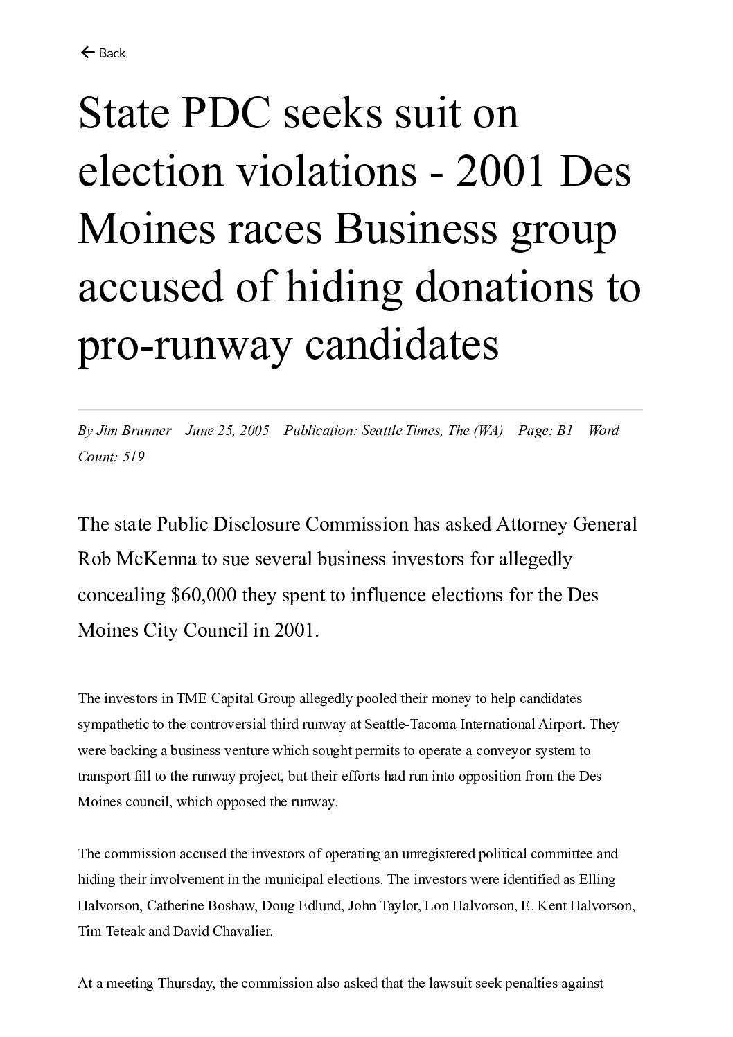
State PDC seeks suit on election violations – 2001 Des Moines races: Business group accused of hiding donations to pro-runway candidates
In 2005, Washington State's Public Disclosure Commission asked Attorney General Rob McKenna to sue a group of investors connected to TME Capital Group for allegedly hiding $60,000 in illegal campaign contributions used to influence 2001 Des Moines City Council elections. The investors were backing a business venture tied to the controversial third runway at Seattle-Tacoma International Airport and sought to elect council candidates favorable to the project. The scheme involved funneling money through shell entities and converting it to anonymous cashier's checks to conceal the donors' identities, part of a broader pattern of campaign finance violations in Des Moines linked to the Sea-Tac runway fight. -
 2004-12-01
NEST Study: A Study of Development Properties Around Seattle-Tacoma International Airport
The NEST Study, published in December 2004, examined eight underutilized properties near Seattle-Tacoma International Airport to assess their potential for future economic development. Commissioned by a partnership of the Cities of Burien, Des Moines, and SeaTac along with the Port of Seattle, the study analyzed market conditions, infrastructure needs, financial feasibility, and appropriate land uses for each property. The findings, funded by a $96,900 federal grant, provided conceptual development plans and job creation estimates aimed at spurring economic growth in South King County communities surrounding the airport. -
IN RE: the RECALL Charges Against City of Des Moines Mayor Donald WASSON
Supreme Court of Washington,En Banc. IN RE: the RECALL Charges Against City of Des Moines Mayor Donald WASSON, Councilmember Richard Benjamin, Councilmember Gary Peterson and Councilmember Maggie Steenrod. No. 73036-9. Decided: July 10, 2003 David H. Middleton & Associates PS, David Middleton, Federal Way, for appellant. Des Moines City Attorney’s Office, Linda Marousek, Asst., Des -
Ex-Des Moines mayor fined $2,500
PDC bars Wasson from seeking office over plot to pack council By STEVEN FRIEDERICH, SEATTLE POST-INTELLIGENCER REPORTER OLYMPIA — Former Des Moines Mayor Don Wasson has been ordered to pay $2,500 in fines by the state Public Disclosure Commission and instructed never to run for public office again or face even more damages. “He developed