TagDes Moines(255)
-
 2003-03-16
Des Moines council faces deadlock – Wasson resigns, citing state’s investigation
Des Moines City Councilman Don Wasson resigned in March 2003 amid a campaign finance scandal, after allegations that he concealed $49,000 in undisclosed contributions funded by businessman Hank Hopkins, who sought to build a conveyor system for SeaTac Airport's proposed third runway. The contributions were intended to elect council members more favorable to the runway project, and the state Public Disclosure Commission was investigating whether Wasson and Hopkins broke state law. Wasson's resignation left the six remaining council members deadlocked, raising uncertainty about city governance during a critical period for airport expansion policy. -
Wasson quits Des Moines council, admits wrongdoing
DES MOINES — Embattled City Councilman Don Wasson resigned last night, acknowledging wrongdoing in a Public Disclosure Commission case involving charges that he and a local businessman concealed $49,000 in campaign contributions. Wasson, the subject of a recall campaign, had previously stepped down as mayor but said he intended to remain a member of the -
Embattled Des Moines mayor abruptly quits
Campaign inquiry was a ‘distraction,’ Wasson says By JEFFREY M. BARKER AND CANDACE HECKMAN, SEATTLE POST-INTELLIGENCER REPORTERS DES MOINES — Mayor Don Wasson, under siege in this suburban city over an investigation into campaign-finance irregularities, resigned last night. Wasson’s surprise resignation as mayor took effect after last night’s City Council meeting. He intends to remain -
 2003-01-18
Trio in alleged political plot put blame on one another: Mayor, businessman, consultant involved in state investigation
A 2003 Seattle Times investigation revealed a campaign-finance scandal in Des Moines, WA, where Mayor Don Wasson, businessman Hank Hopkins, and political consultant Tom Hujar allegedly concealed $49,000 in unreported spending to influence the November 2001 City Council elections. The goal was to elect council members who would reduce the city's opposition to a proposed third runway at Seattle-Tacoma International Airport. State Public Disclosure Commission investigators charged Wasson and Hopkins with violating campaign-finance disclosure laws, with all three men blaming each other for the scheme. -
 2003-01-01
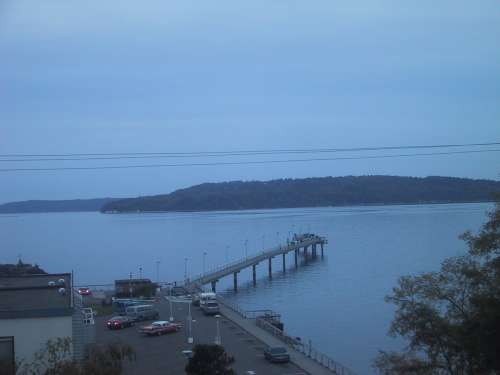
Des Moines Marina Dock
-
 2002-10-23
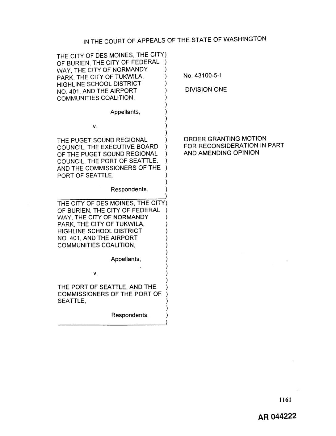
EXH AR044222: Court of Appeals Order Granting Motion for Reconsideration in Part and Amending Opinion — ACC et al. v. Port Of Seattle et al., No. 43100-5-I
Washington Court of Appeals Division One order granting in part Port Of Seattle’s motion for reconsideration of the November 15, 1999 opinion in No. 43100-5-I. Parties include City of Des Moines, City of Burien, City of Federal Way, City of Normandy Park, City of Tukwila, Highline School District No. 401, Airport Communities Coalition (ACC) as -
 2002-10-22
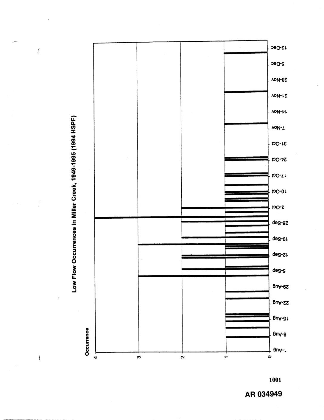
EXH AR034949: Low Flow Occurrences in Miller Creek, Des Moines Creek, and Walker Creek, 1949-1995 (1994 HSPF)
Three bar charts showing 7-day low flow occurrences modeled using 1994 HSPF (Hydrological Simulation Program Fortran) for the period 1949-1995. Charts cover Miller Creek, Des Moines Creek, and Walker Creek, displaying occurrence counts (0-4) by date ranging from summer through winter months (June through December). AR034949-AR034951. Related to stormwater hydrology and low flow analysis for -
 2002-10-21
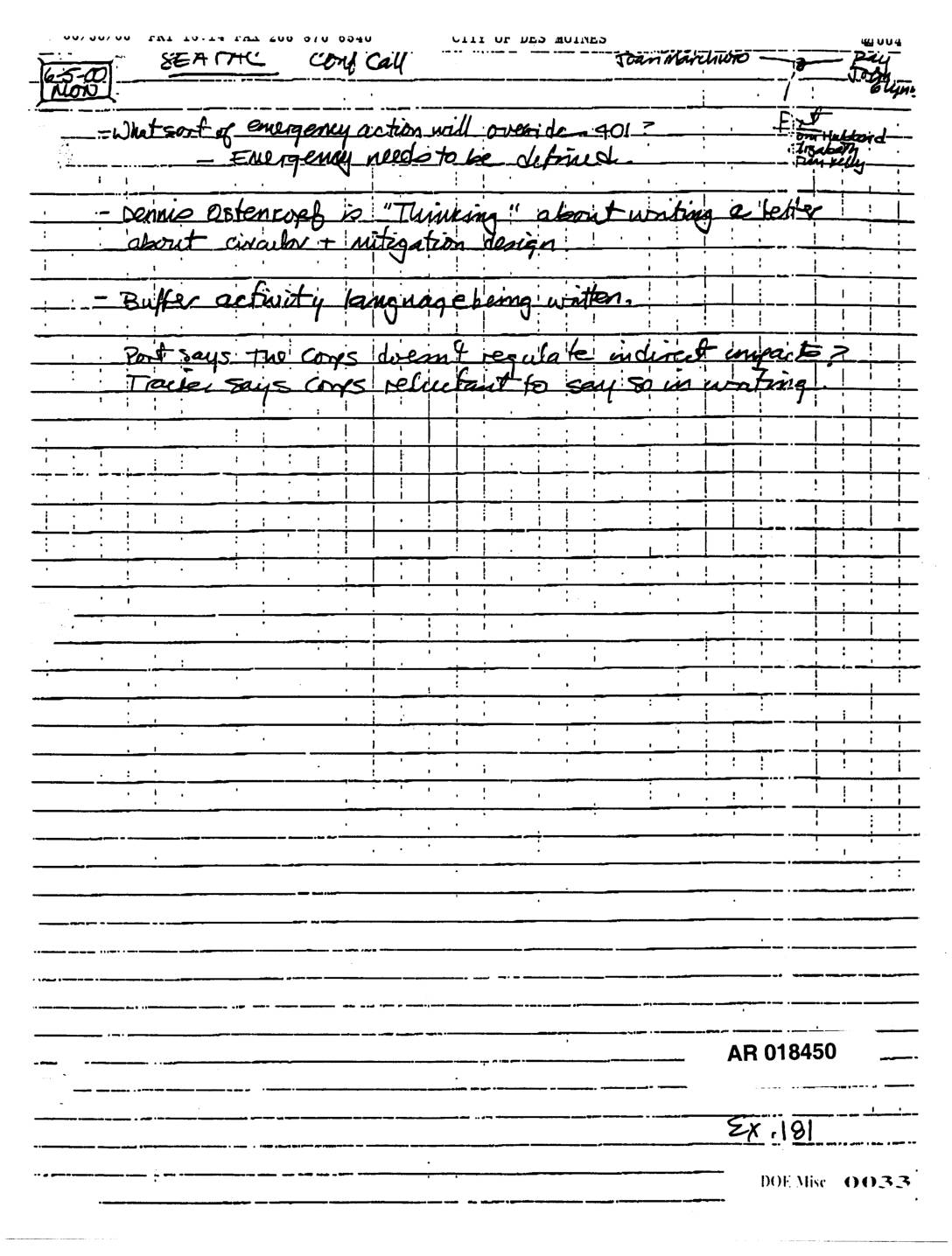
EXH AR018450: Handwritten Conference Call Notes — Seattle and Des Moines, Army Corps Indirect Impacts and Mitigation
AR 018450 (DOE Misc 0033, Exhibit 191). Handwritten notes from a conference call between Seattle and City of Des Moines discussing what emergency action will override Section 401, Army Corps of Engineers regulation of indirect impacts, buffer activity language, and mitigation design. Dennis Ostencorp referenced as thinking about writing a letter on circular and mitigation -
 2002-02-19
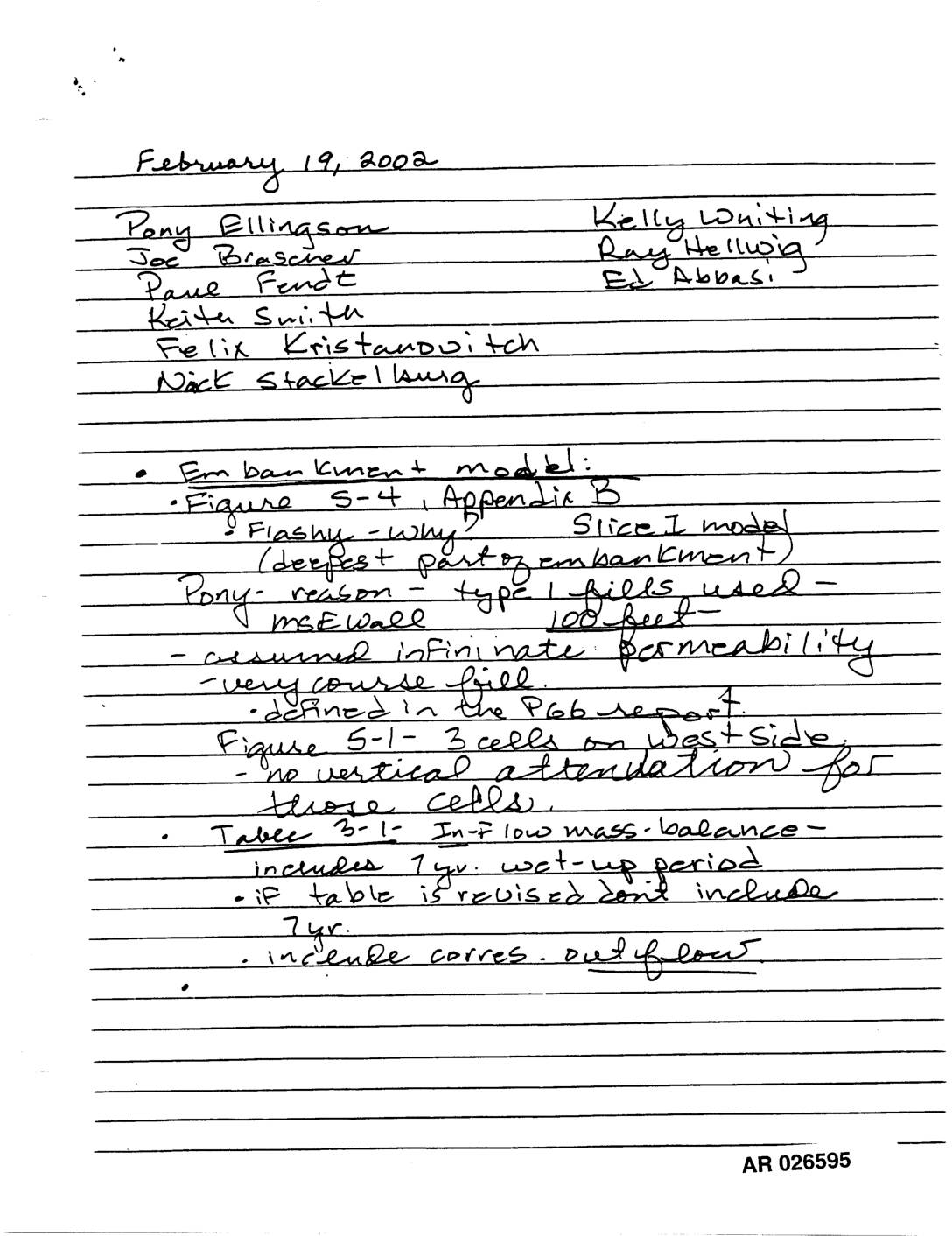
Exhibit 730: Handwritten Meeting Notes — Embankment Model, Fill Modeling, Miller Creek, Walker Creek, and Des Moines County Monitoring
Handwritten meeting notes dated February 19, 2002, AR 026595–026597, attended by Pony Ellingson, Joe Brascher, Paul Fendt, Keith Smith, Felix Kristandovitch, Nick Stackellburg, Kelly Whiting, Ray Helwig, and Ed Abbasi. Topics include embankment model (Figure 5-4, Appendix B, Slice I model, MSE wall, infinite permeability assumption, coarse fill), fill modeling footprint area with surface groundwater -
 2002-01-31
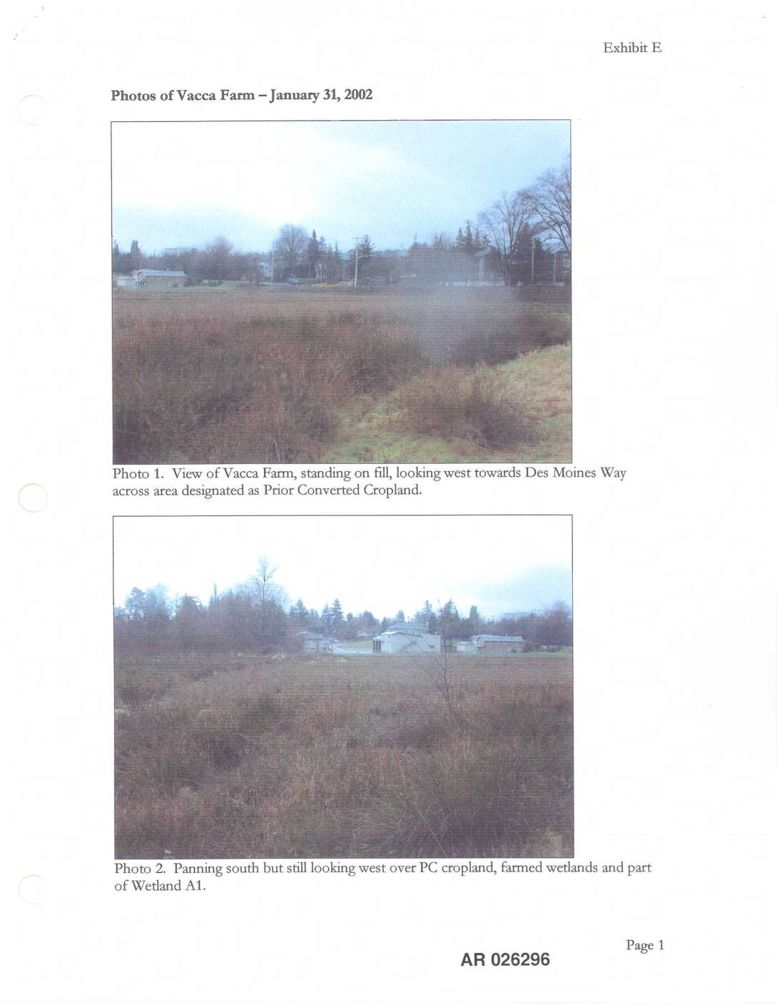
EXH E: Photos Vacca Farm — January 31, 2002
This document, labeled Exhibit E, contains photographs taken on January 31, 2002 of the Vacca Farm site, showing various land features including areas designated as Prior Converted Cropland, farmed wetlands, and Wetland A1. The photos document the site's vegetation and water features, including a close-up of wetland plants and a view of Miller Creek looking west across Wetland A1. The images appear to be part of an environmental or land-use assessment record related to the Vacca Farm property near Des Moines Way.