TagDes Moines(255)
-
 2018-01-01
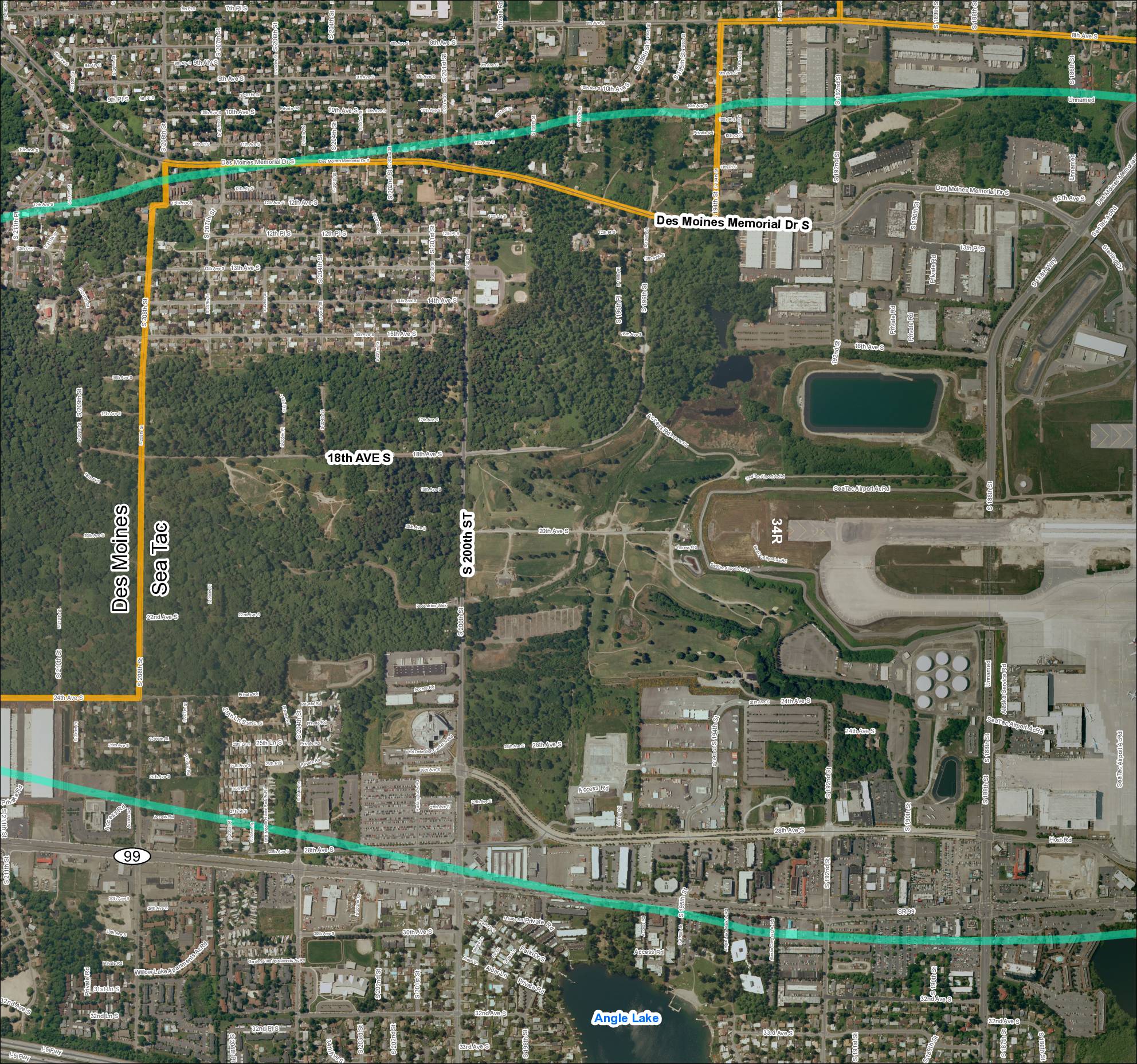
Grid 2 (2018): Aerial Map of Des Moines / Sea-Tac Area
This document is an aerial map showing the area surrounding Seattle-Tacoma (Sea-Tac) Airport, covering the cities of Des Moines and SeaTac in Washington State. It highlights key roads and boundaries, including Des Moines Memorial Drive S, S 200th Street, 18th Avenue S, and SR 99, with colored overlays likely indicating noise-impact or study zones near the airport. Runway 34R and Angle Lake are visible landmarks, with the map appearing to delineate jurisdictional or noise-contour boundaries relevant to airport planning and policy. -
 2018-01-01
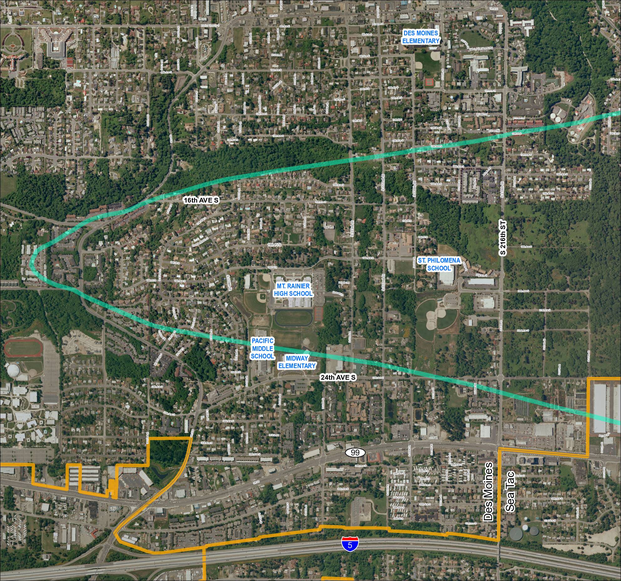
Grid 1: Des Moines and Sea-Tac Area Schools and Flight Corridor Map (2018)
This map shows the Des Moines and SeaTac area of Washington State, highlighting a noise impact corridor (shown in teal) that sweeps across the region near Sea-Tac Airport. The corridor passes over several schools including Mt. Rainier High School, Pacific Middle School, Midway Elementary, St. Philomena School, and Des Moines Elementary, indicating these institutions fall within the airport's noise-affected zone. A separate boundary (shown in orange) outlines what appears to be an airport-related land use or acquisition area in the southern portion of the map near Interstate 5. -
 2017-09-11
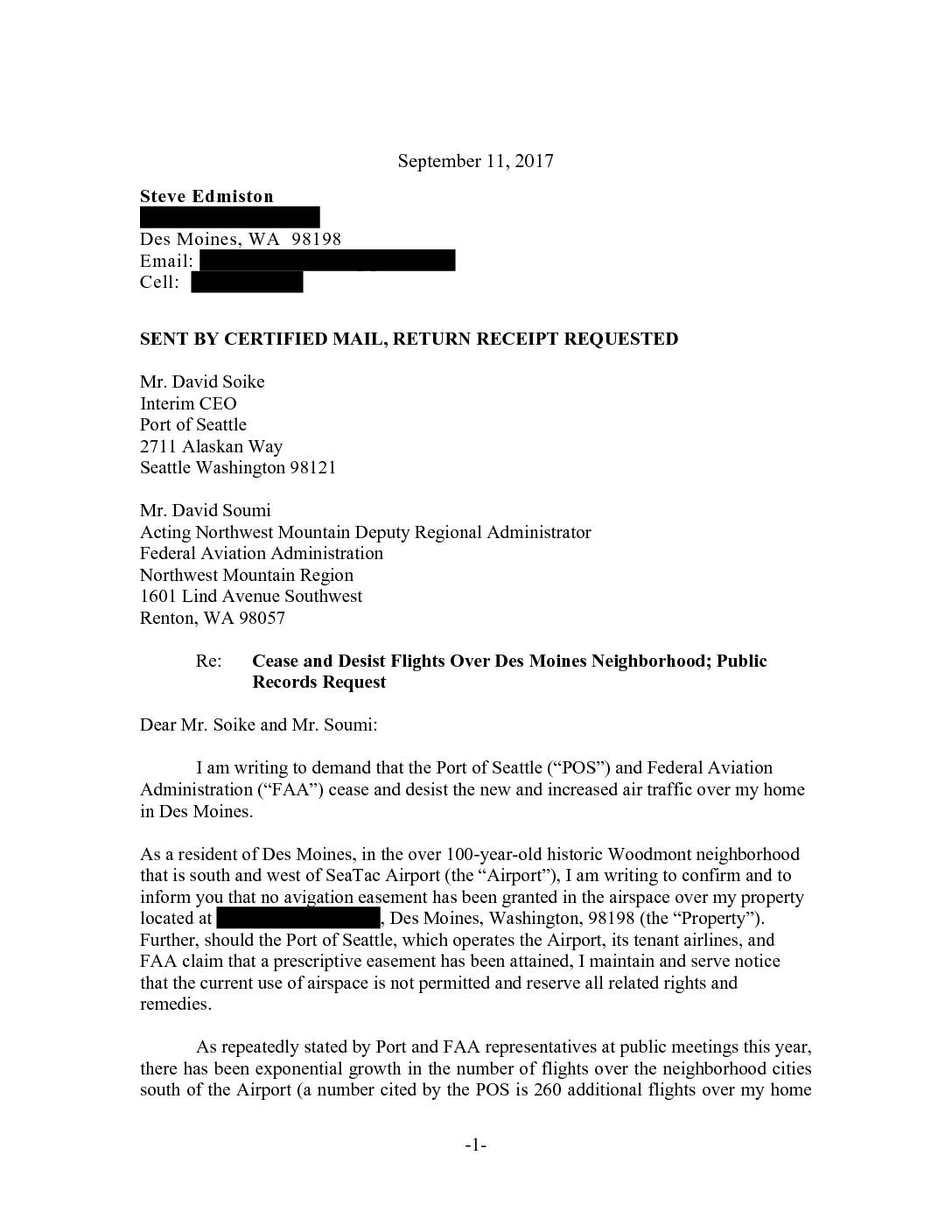
Cease and desist flights over Des Moines neighborhood; public records request
In September 2017, Des Moines, WA resident Steve Edmiston sent a certified letter demanding that the Port of Seattle and the FAA stop increased flight operations over his historic Woodmont neighborhood, arguing that no avigation easement had ever been granted over his property. He cited a dramatic rise in aircraft noise, vibrations, fumes, and nighttime flights linked to expanded use of Sea-Tac's third runway and new navigation procedures, noting that commercial operations at the airport had nearly doubled since 2003. The letter also included a formal public records request for documents related to flight procedure changes made after February 14, 2012, and outlined legal grounds under which affected homeowners may still seek damages despite general noise liability limitations. -
 2017-06-01
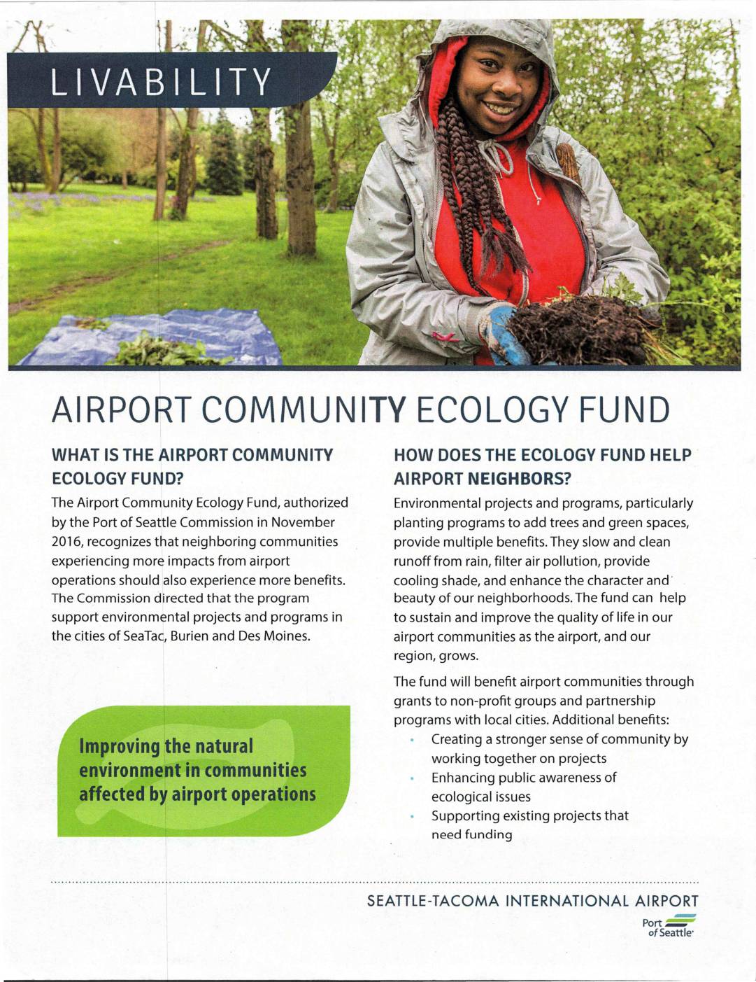
Airport Community Ecology Fund
The Airport Community Ecology Fund, authorized by the Port of Seattle Commission in November 2016, provides grants and partnership programs to improve the natural environment in communities affected by Seattle-Tacoma International Airport operations, specifically in SeaTac, Burien, and Des Moines. The fund supports environmental projects such as tree planting and green space development to help offset airport impacts through benefits like cleaner air, reduced runoff, and improved neighborhood character. Local non-profit organizations and community groups in the three eligible cities can apply for grants, provided their projects demonstrate measurable outcomes and a local match of three times the grant value. -
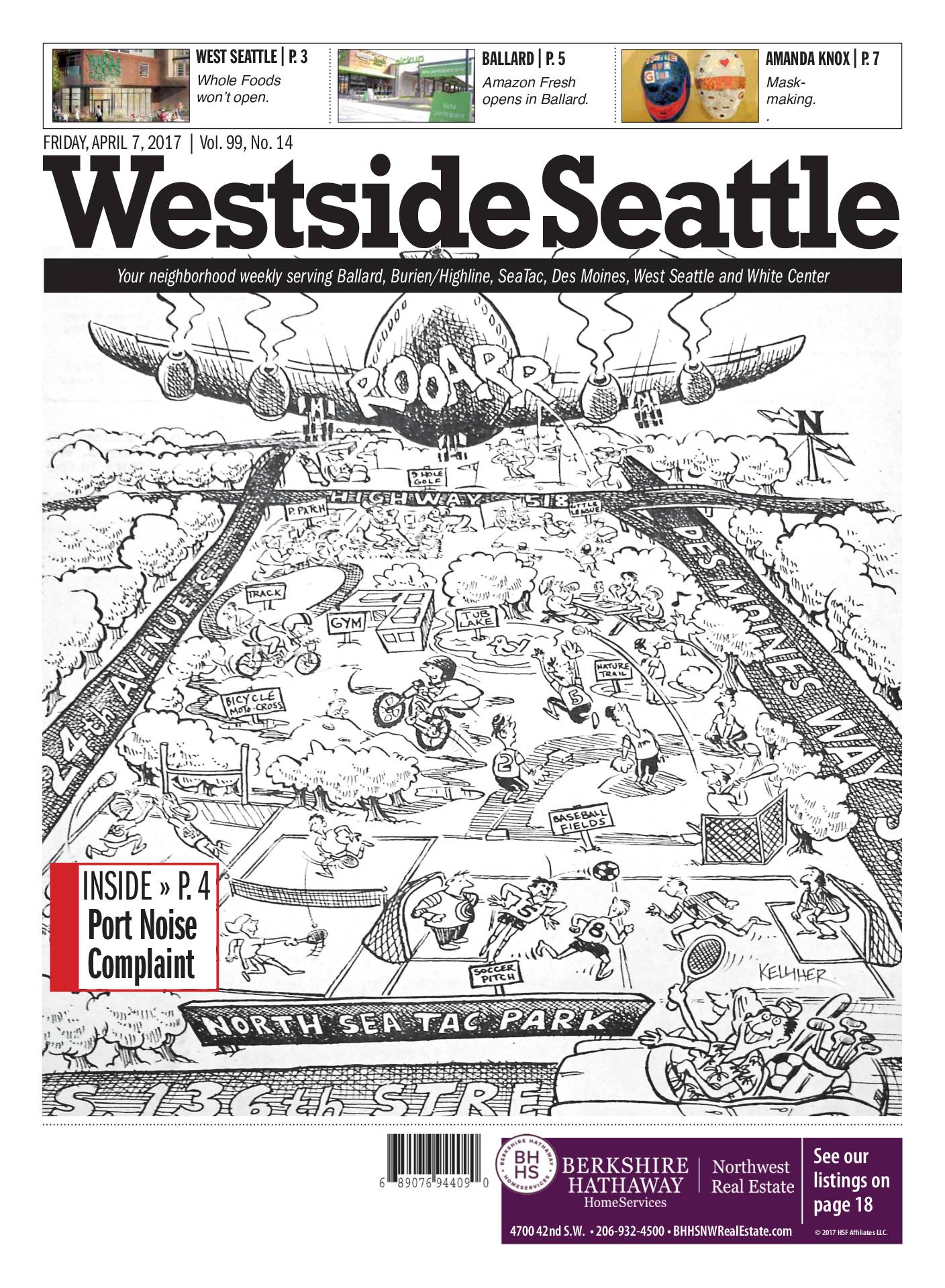 2017-04-07
Westside Seattle, Vol. 99, No. 14
The April 7, 2017 edition of Westside Seattle, a neighborhood weekly serving Ballard, Burien/Highline, SeaTac, Des Moines, West Seattle, and White Center, features a front-page illustrated cartoon highlighting community concerns about aircraft noise over North SeaTac Park, with an inside story on Port noise complaints. The issue also covers local retail news, including Whole Foods canceling its planned West Seattle store and Amazon Fresh opening in Ballard. -
-
 2016-01-21
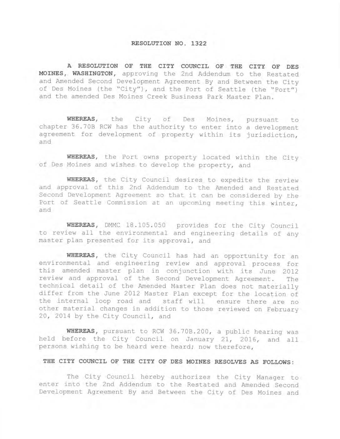
Resolution No. 1322: Approving the 2nd Addendum to the Restated and Amended Second Development Agreement between the City of Des Moines and the Port Of Seattle
The City Council of Des Moines, Washington approved Resolution No. 1322 on January 21, 2016, authorizing the City Manager to enter into a 2nd Addendum to the development agreement with the Port of Seattle for the Des Moines Creek Business Park. The resolution updates the project's master plan, with the primary change being the relocation of an internal loop road, while requiring completion of several planning requirements including site plans, environmental review, traffic analysis, and a right-of-way vacation before development can proceed. -
 2016-01-01
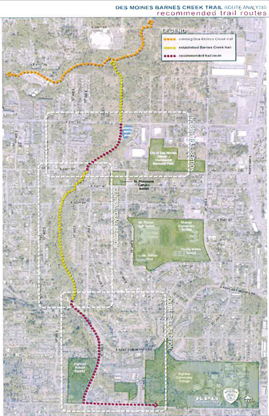
Des Moines Barnes Creek Trail Route Analysis Map — Parks Recreation and Senior Services Master Plan 2016–2021
A route analysis map produced by KPG for the Des Moines Barnes Creek Trail, showing existing Des Moines Creek Trail, established Barnes Creek Trail, and recommended trail routes across three sections (North, Central, and South). Key landmarks labeled include City of Des Moines/Lieutenant Memorial Park, St. Philomena Catholic School, Midway Cemetery, Highline School District, and Highline Community College. -
 2015-05-27
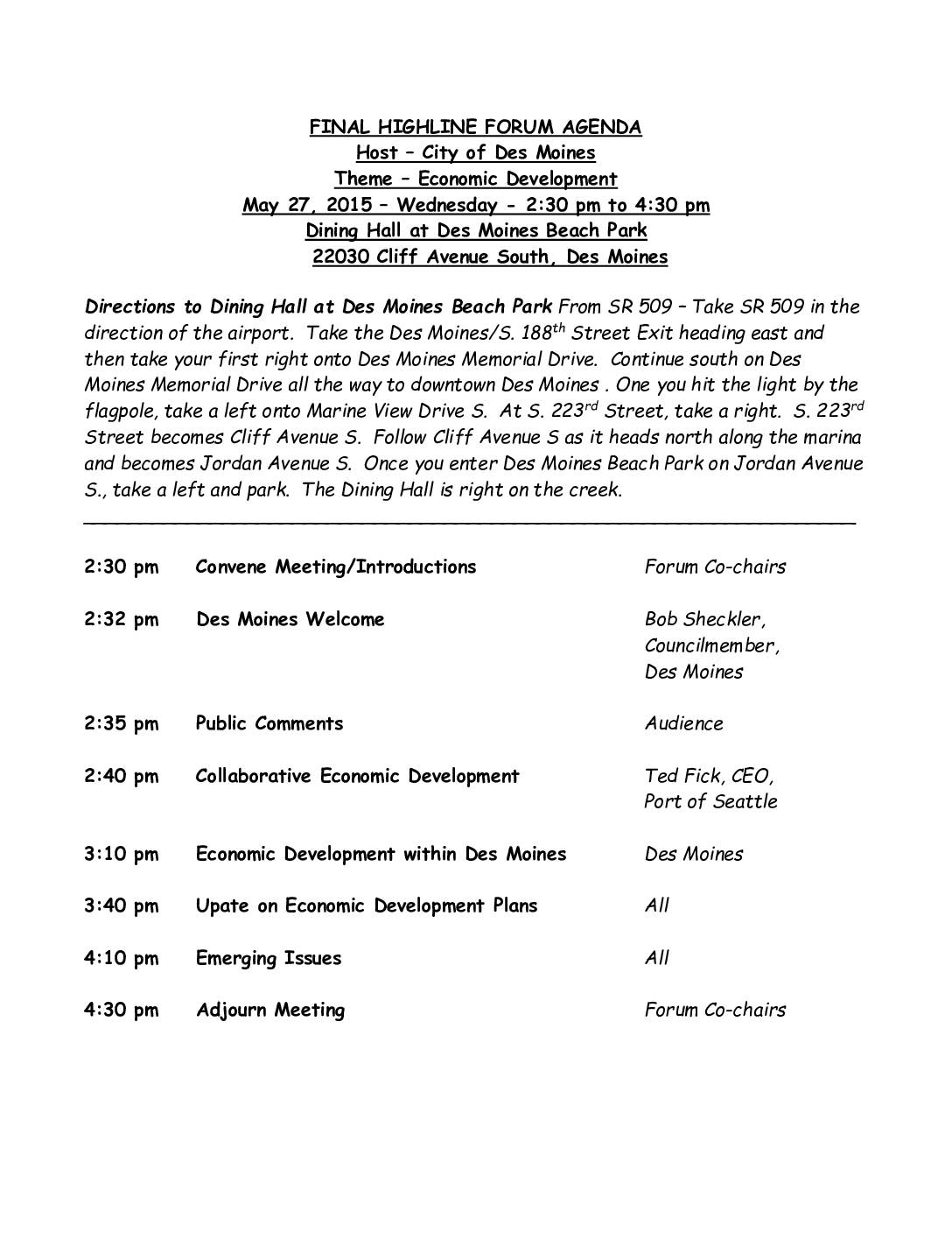
Highline Forum Agenda: Economic Development — May 27, 2015
The Highline Forum, hosted by the City of Des Moines on May 27, 2015, focused on economic development in the communities surrounding Seattle-Tacoma International Airport. The meeting featured a presentation on Collaborative Economic Development by Ted Fick, CEO of the Port of Seattle, followed by discussions on economic development plans specific to Des Moines and broader regional updates. The forum was held at the Dining Hall at Des Moines Beach Park and ran from 2:30 pm to 4:30 pm. -
 2015-05-27
City of Des Moines Economic Development Presentation
This presentation from the City of Des Moines, Washington outlines the city's economic development context, noting its population of roughly 30,000 residents across 6.5 square miles and a median household income of $60,000. The city faces suburban challenges including transitioning toward more urbanized town centers and achieving fiscal self-sufficiency, complicated by the fact that 50% of its potential trade capture area lies underwater in Puget Sound. The city's strategy focuses on increasing overall economic demand rather than competing directly with neighboring communities.