TagDes Moines(255)
-
 2022-01-10
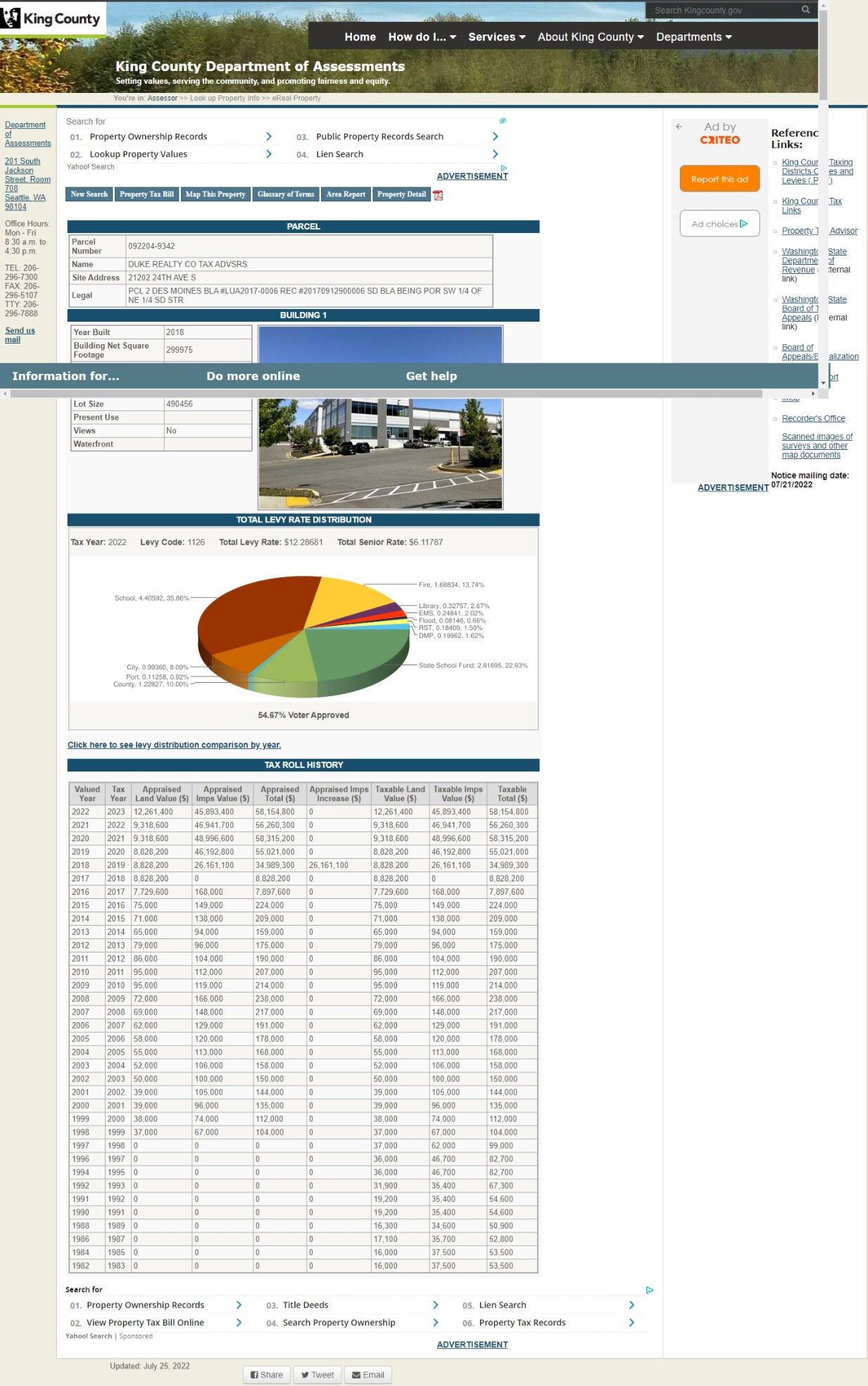
King County Assessor Property Record – Parcel 092204-9342, 21202 24th Ave S, Des Moines, WA
King County Department of Assessments eReal Property record for parcel 092204-9342, owned by Duke Realty Co Tax Advisors, located at 21202 24th Ave S, Des Moines, WA. The property is a commercial building (built 2016, 299,975 sq ft) with a 2022 tax year total levy rate of $12.28681 and appraised total value of $58,154,800. -
 2022-01-01
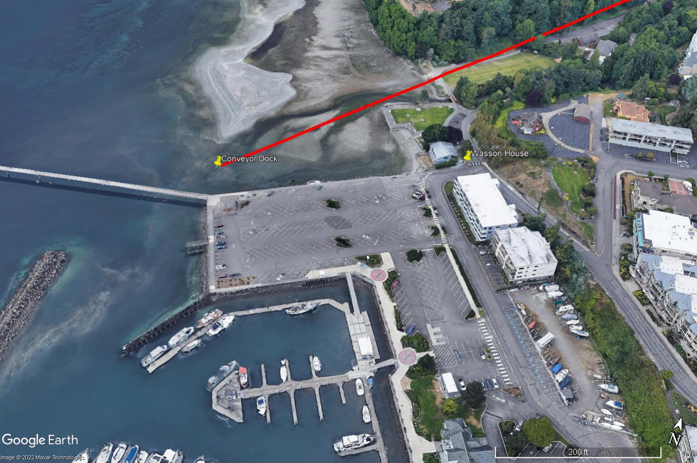
Don Wasson House and Des Moines Marina — 2022 Google Earth Satellite View
A 2022 Google Earth/Maxar Technologies satellite image showing a Des Moines, Washington waterfront marina, parking areas, and shoreline. Labels directly on the image identify the 'Conveyor Dock' and 'Wasson House,' with a red line drawn diagonally across the image roughly following the shoreline, likely indicating a flight path or noise contour relevant to an airport noise study. -
 2022-01-01
Consumer Confidence Report on Water Quality 2022
The Highline Water District's 2022 Consumer Confidence Report details the sources, treatment, and quality testing of drinking water served to customers in the Kent and SeaTac, Washington area. Approximately 75% of the district's water comes from Seattle Public Utilities' Cedar River Watershed, with the remaining 25% drawn from local groundwater wells, all of which are treated and tested for over 200 contaminants before reaching customers. The report confirms that Highline Water District's water meets all state and federal safety standards and is significantly below EPA maximum contaminant levels. -
 2021-12-31
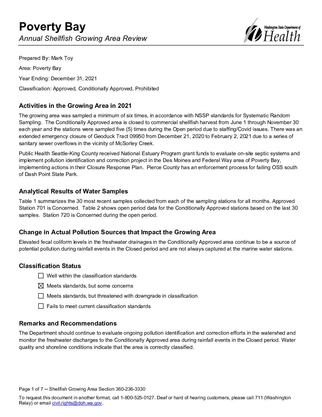
Poverty Bay annual shellfish growing area review
This 2021 annual review by the Washington State Department of Health assesses water quality and shellfish harvesting conditions in Poverty Bay, located near Des Moines and Federal Way. The area holds a mix of Approved, Conditionally Approved, and Prohibited classifications, with most stations meeting bacteriological standards, though Station 701 and Station 720 raised concerns due to elevated fecal coliform levels. Pollution sources such as stormwater runoff and past sanitary sewer overflows continue to be monitored, with ongoing correction efforts supported by Public Health Seattle-King County grant funding. -
 2021-12-20
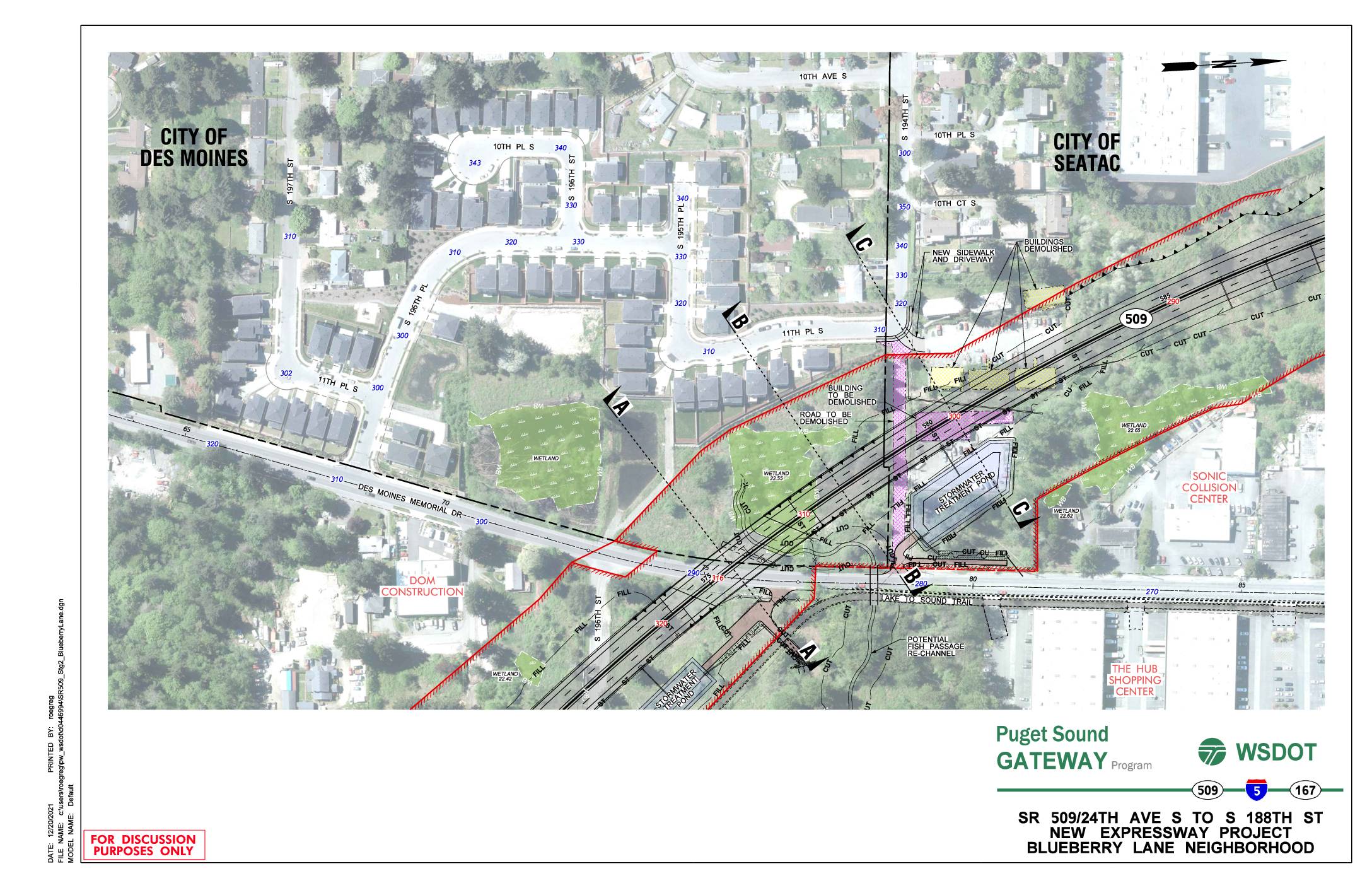
SR 509/24th Ave S to S 188th St new expressway project: Blueberry Lane neighborhood
This WSDOT Puget Sound Gateway Program document presents preliminary design plans for a new SR 509 expressway segment running from 24th Ave S to S 188th St through the Blueberry Lane neighborhood, spanning the cities of Des Moines and SeaTac. The plans show proposed roadway construction, stormwater treatment ponds, wetland areas, and several buildings and roads slated for demolition to accommodate the new highway alignment. Cross-sectional diagrams illustrate the elevation changes and right-of-way boundaries relative to existing neighborhoods, trails, and local streets. -
 2021-11-01
Lake to Sound Trail – Segment C Sea-Tac: Contract KC000383 Contract Plans
This document contains the contract plans for the Lake to Sound Trail – Segment C in SeaTac, Washington, covering the trail corridor from S 200th Street to the 8th Avenue S / Des Moines Memorial Drive intersection in King County. The project, managed by the King County Department of Natural Resources and Parks, includes engineering drawings for trail construction elements such as boardwalks, drainage, signage, and intersection improvements within the city limits of SeaTac and Burien. The conformed drawings, dated November 2021, were prepared by Parametrix engineering and reflect updates from project addenda. -
 2021-09-20
Burien consultant contract amendment for sustainable airport master plan (SAMP) environmental review and analysis
In September 2021, the City of Burien considered approving an additional $42,970 contribution to a shared consultant contract with the cities of Des Moines, Normandy Park, and SeaTac to review and respond to the Port of Seattle's Sustainable Airport Master Plan (SAMP), which outlines airport growth over the next 20 years. The four cities entered into an inter-local agreement in 2018 to coordinate their environmental review and formal comments on noise and other impacts associated with SEA International Airport expansion. The contract amendment also extended the agreement's end date from 2021 to 2023 and recognized a change in the consulting firm from Lockridge Grindal Nauen to Primacy Strategy Group. -
 2021-04-04
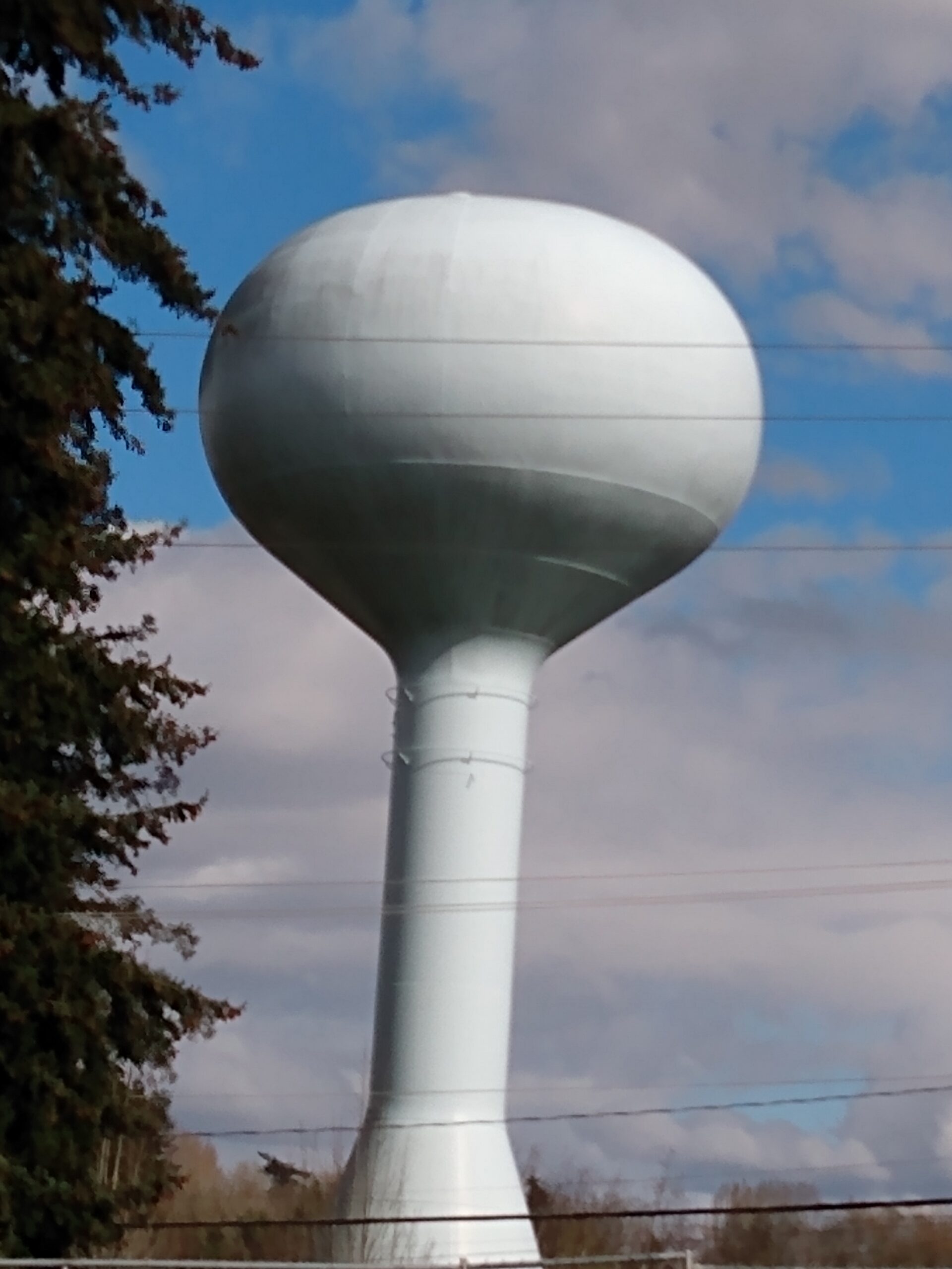
Des Moines Photo April 2021
-
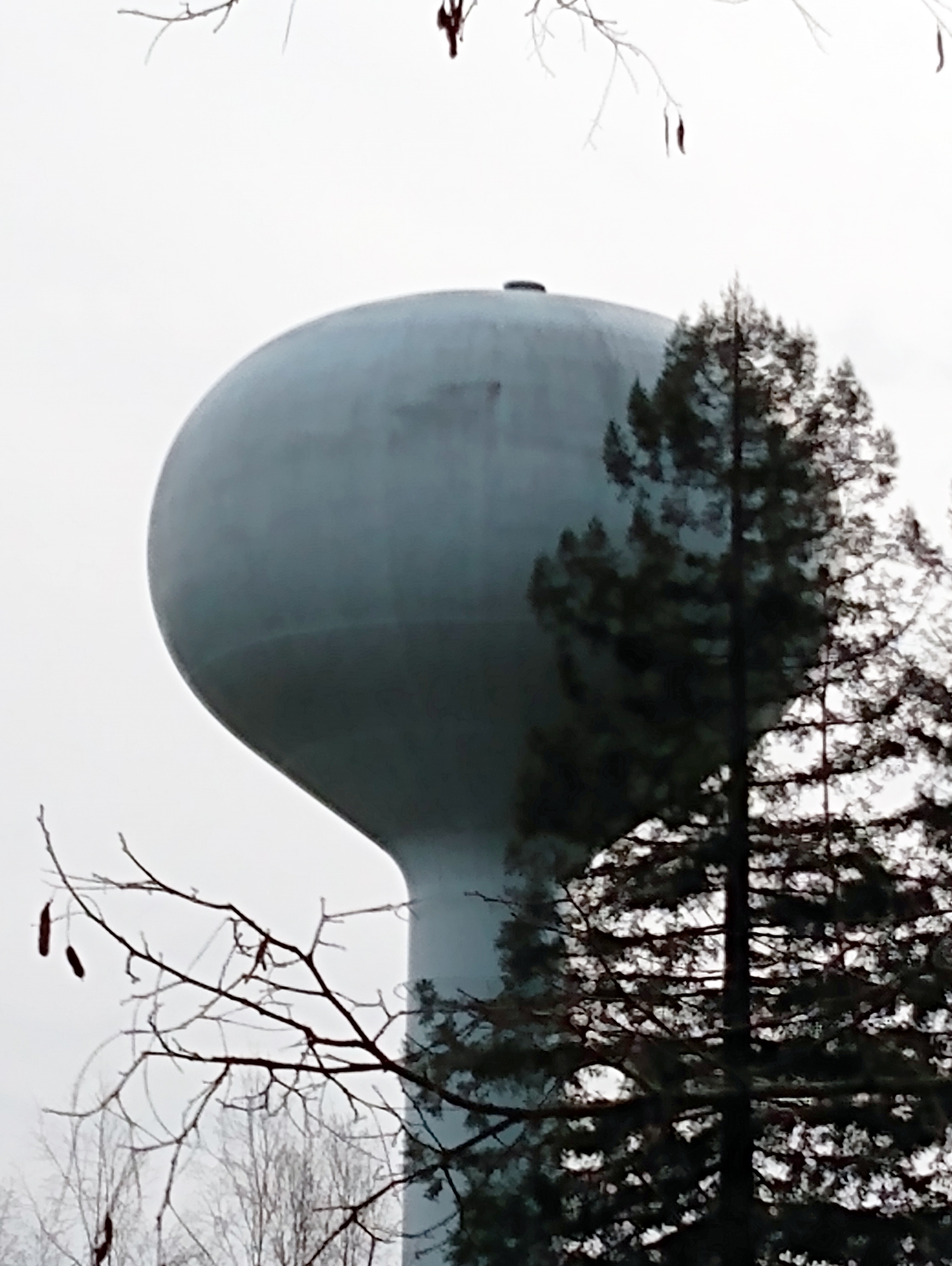 2021-04-01
District 54 Water Tower North Side
-
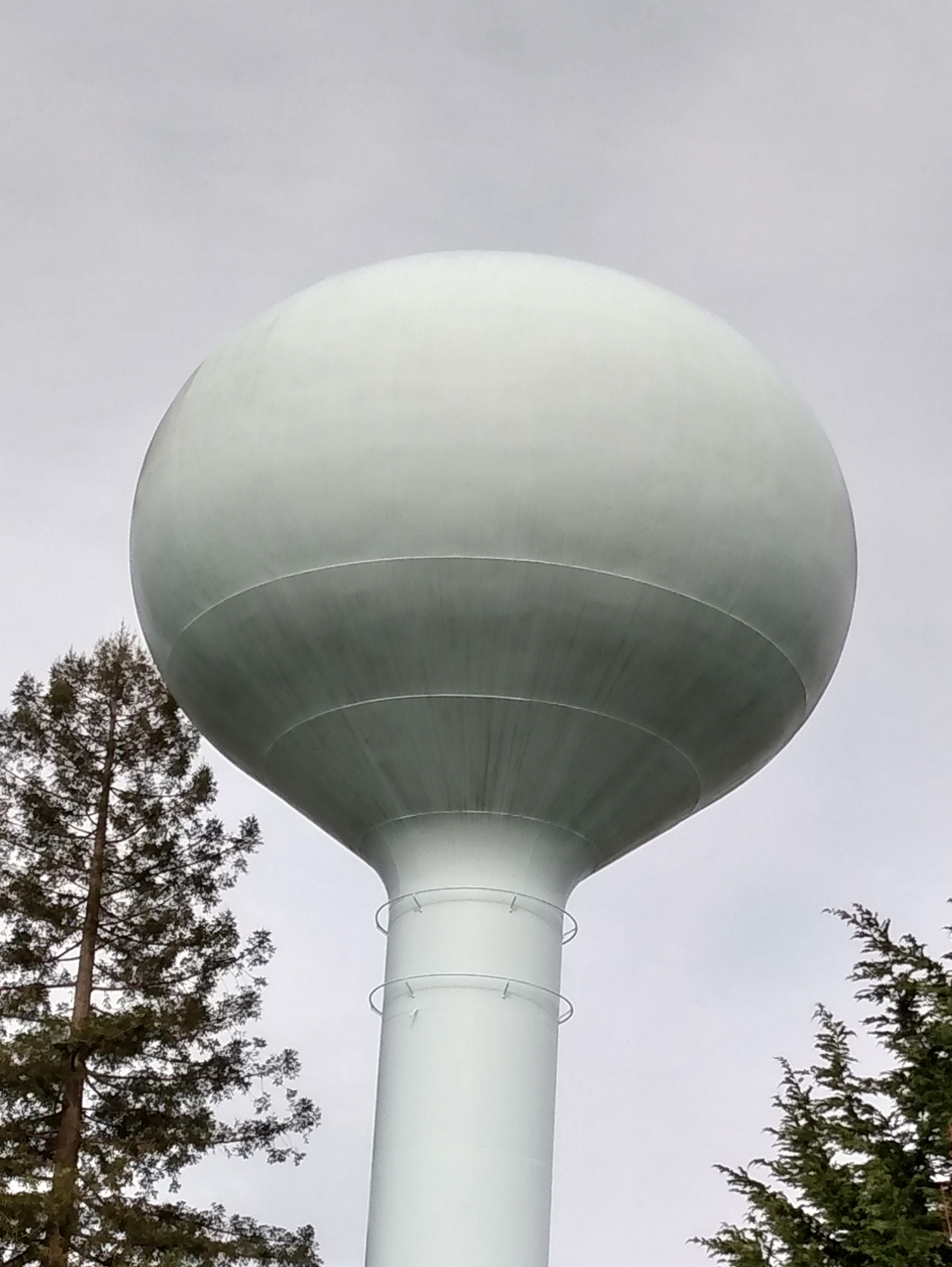 2021-04-01
District 54 Water Tower, South View