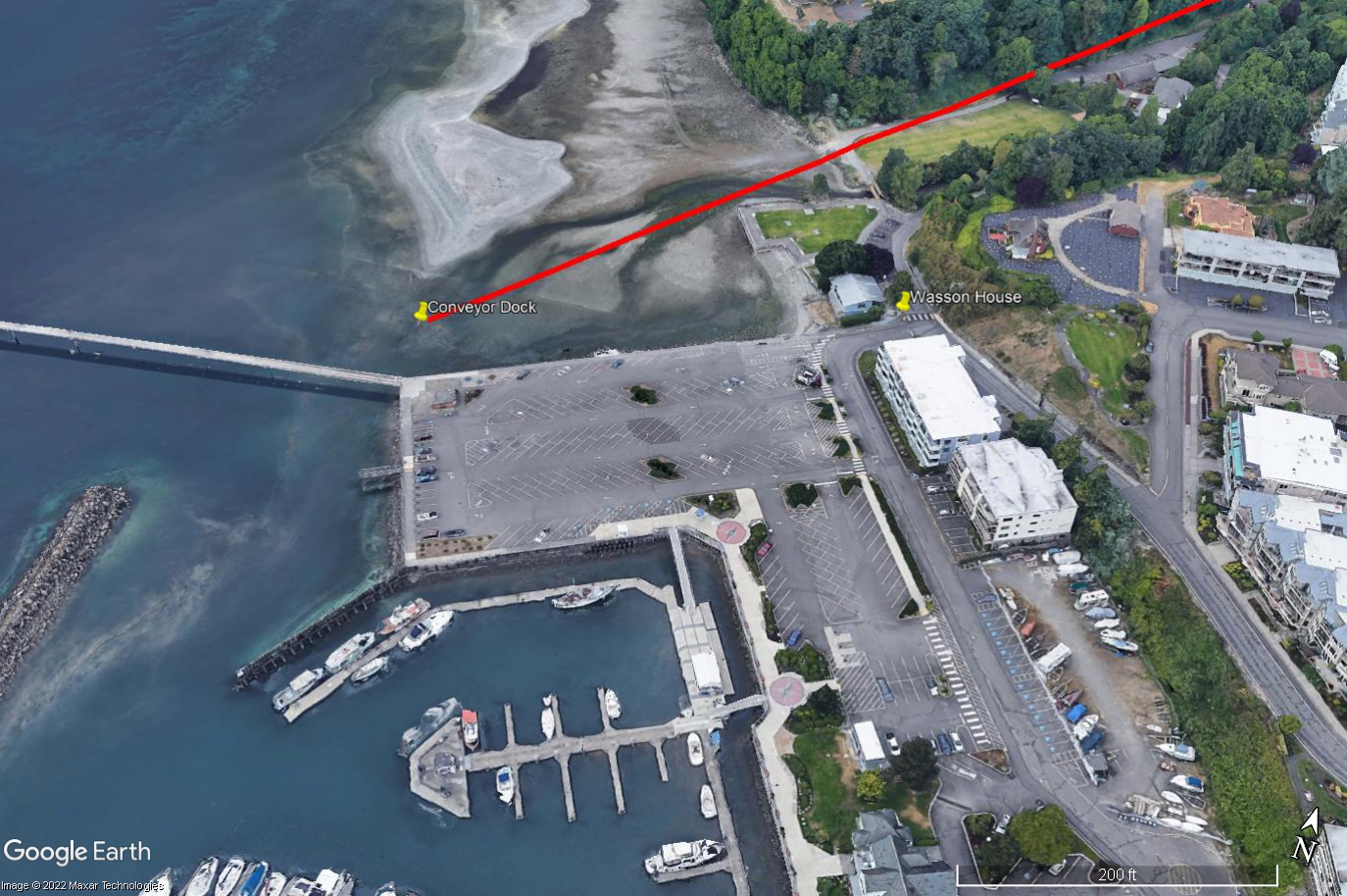
A 2022 Google Earth/Maxar Technologies satellite image showing a Des Moines, Washington waterfront marina, parking areas, and shoreline. Labels directly on the image identify the 'Conveyor Dock' and 'Wasson House,' with a red line drawn diagonally across the image roughly following the shoreline, likely indicating a flight path or noise contour relevant to an airport noise study.Open full document
Notes
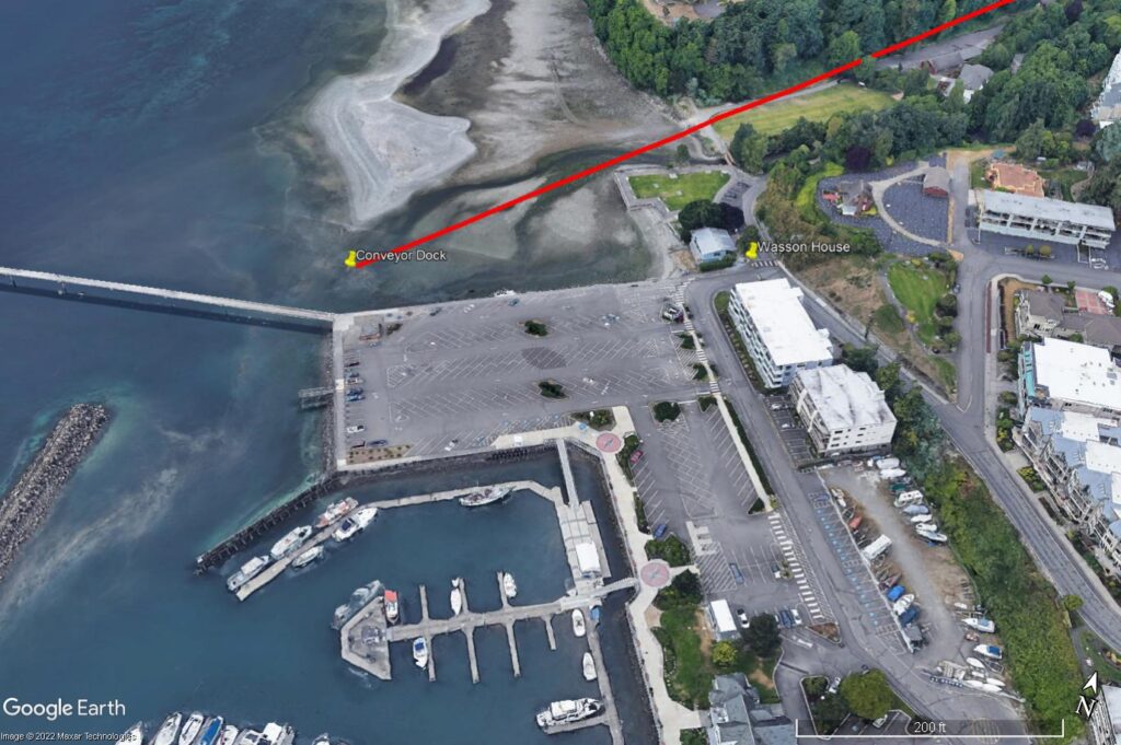
A 2022 Google Earth/Maxar Technologies satellite image showing the Port of Edmonds marina, parking areas, and waterfront. Labels identify the ‘Conveyor Dock’ and ‘Wasson House,’ with a red line drawn diagonally across the image roughly following the shoreline, likely indicating a flight path or noise contour relevant to an airport noise study.