TagDes Moines(255)
-
 2020-07-09
StART Process Overview: Cities of Burien, Des Moines, and Federal Way Meetings with Port Of Seattle, September 2019–January 2020
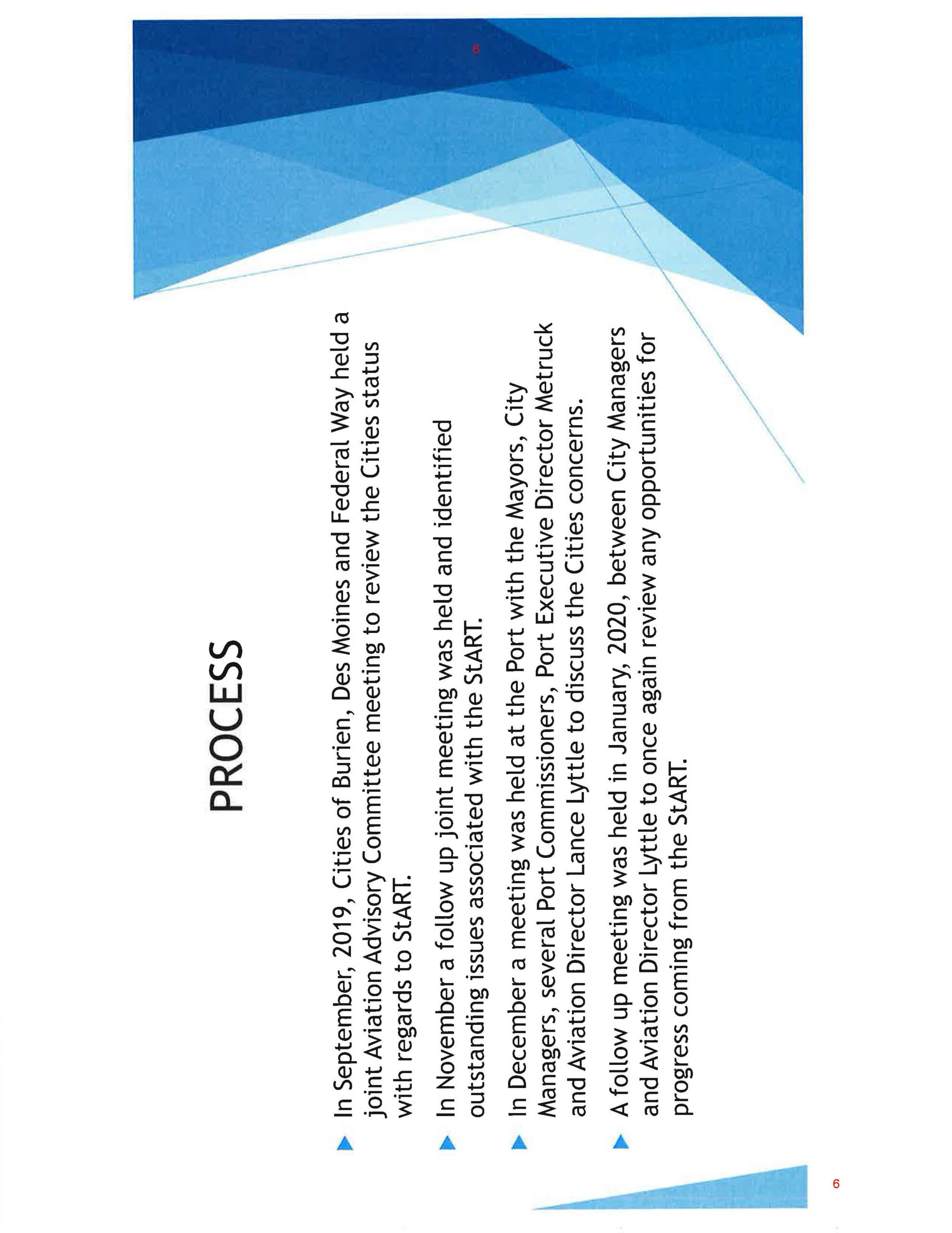
This presentation slide titled 'PROCESS' outlines four meetings held between September 2019 and January 2020 involving the Cities of Burien, Des Moines, and Federal Way, along with Port of Seattle officials including Aviation Director Lance Lyttle and Executive Director Metruck, to review and discuss outstanding issues associated with the Sea-Tac Airport Roundtable (StART). The slide is numbered page 6. -
 2020-07-09
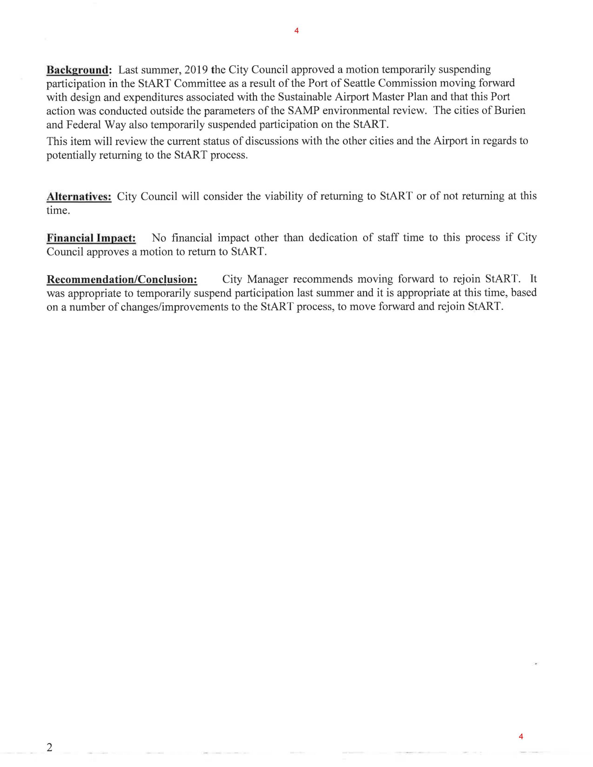
Des Moines City Council Staff Report: Rejoining StART Committee — July 2020
A city council staff report (page 4) describing the background, alternatives, financial impact, and recommendation regarding rejoining the StART (Sea-Tac Airport Roundtable) Committee. The City Manager recommends rejoining StART, noting that participation had been suspended in summer 2019 after the Port of Seattle Commission moved forward with the Sustainable Airport Master Plan (SAMP) outside the parameters of its environmental review, with Burien and Federal Way also having suspended participation. -
 2020-07-09
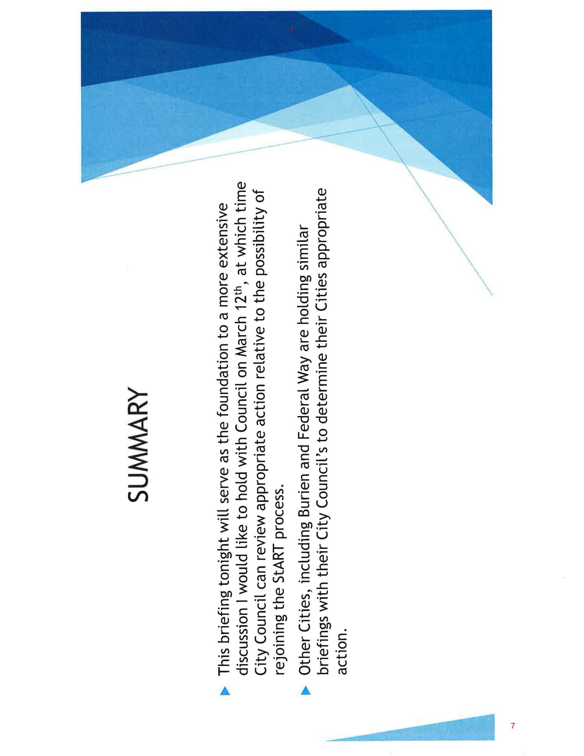
Des Moines City Council Briefing Slide on Rejoining StART Process — July 2020
A summary slide discussing a briefing serving as the foundation for a more extensive City Council discussion scheduled for March 12th, regarding the possibility of rejoining the StART (Sea-Tac Airport Roundtable) process. The slide also notes that other cities, including Burien and Federal Way, are holding similar briefings with their City Councils to determine appropriate action. -
 2020-07-09
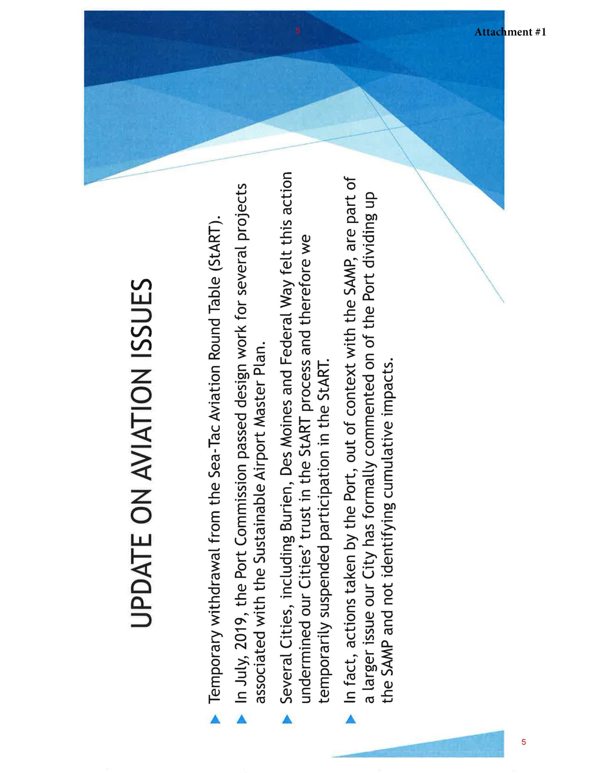
Des Moines City Council Agenda Attachment: StART Withdrawal and SAMP Policy Update — July 2020
This presentation slide, labeled Attachment #1 (page 5), outlines aviation policy issues related to Sea-Tac Airport, including a temporary withdrawal from the Sea-Tac Aviation Round Table (StART), the Port Commission's July 2019 design work on the Sustainable Airport Master Plan (SAMP), and the suspension of StART participation by several cities including Burien, Des Moines, and Federal Way due to loss of trust in the process. The City also formally commented on the SAMP regarding cumulative impacts. -
 2019-12-31
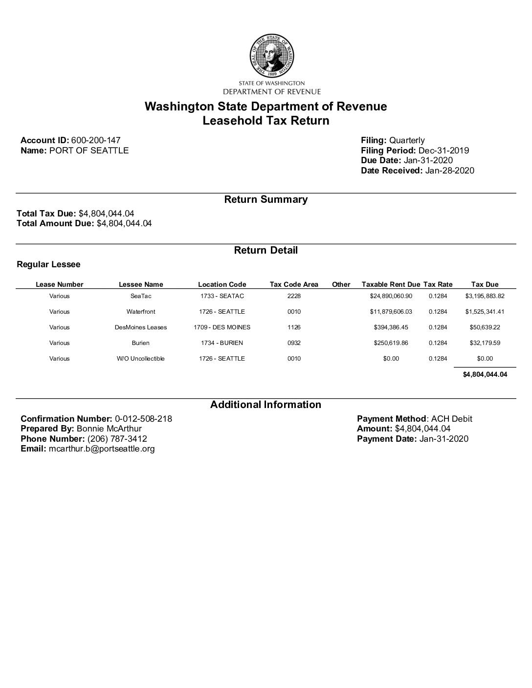
Washington State Department of Revenue Leasehold Tax Return: Port Of Seattle, Q4 2019
The Port of Seattle filed a Washington State Leasehold Tax Return for the quarter ending December 31, 2019, reporting a total tax due of $4,804,044.04. The largest portion—$3,195,883.82—was generated from SeaTac leases with taxable rent of approximately $24.9 million, alongside additional revenue from Waterfront, Des Moines, and Burien locations. Payment of the full amount was submitted via ACH Debit on January 31, 2020, one day before the deadline. -
 2019-11-20
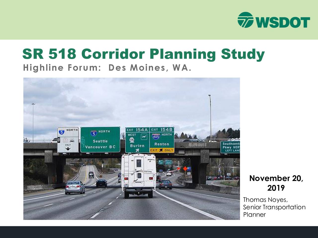
SR 518 corridor planning study
In November 2019, the Washington State Department of Transportation (WSDOT) presented findings from the SR 518 Corridor Planning Study to the Highline Forum in Des Moines, WA. The study, mandated by a 2017 legislative proviso and funded with $500,000 from the legislature plus an additional $400,000 from the Port of Seattle, examined traffic conditions and improvement alternatives along the SR 518 corridor near Sea-Tac Airport. The presentation covered traffic analysis, alternatives screening, and recommended improvement packages, with a final report due by November 30, 2019. -
 2019-11-20
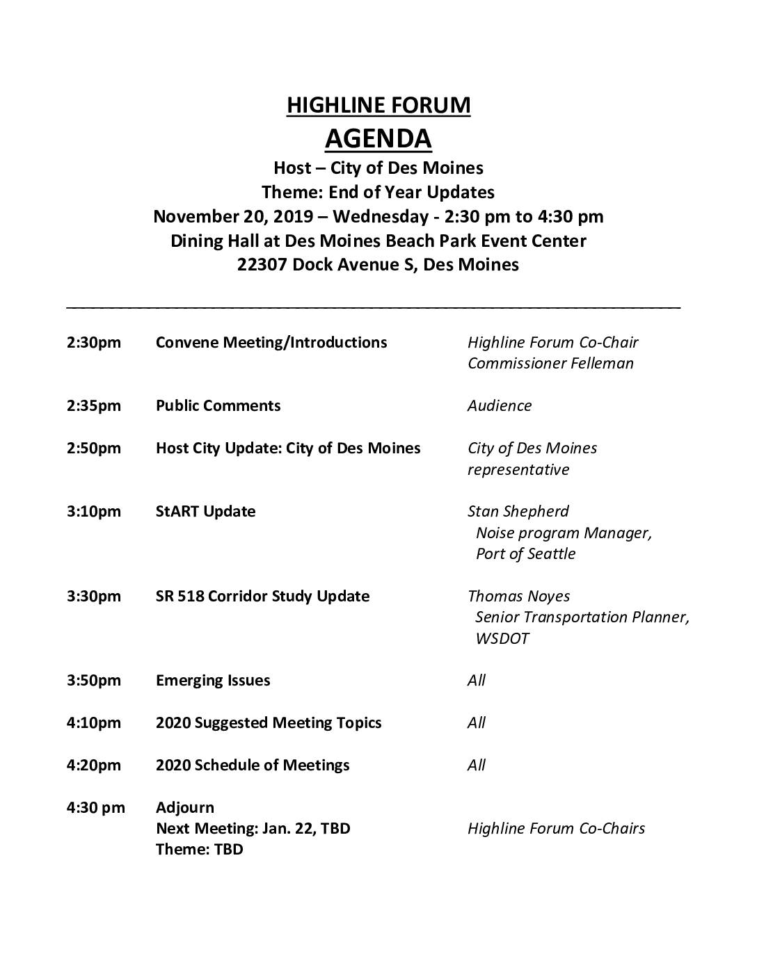
Highline Forum agenda: End of year updates
The Highline Forum held its end-of-year meeting on November 20, 2019, at Des Moines Beach Park Event Center, featuring updates on airport noise mitigation from the Port of Seattle's StART program, a SR 518 Corridor Study presentation by WSDOT, and planning discussions for 2020 meeting topics. The forum, co-chaired by Commissioner Felleman, brings together regional stakeholders to address issues related to Sea-Tac Airport's impact on surrounding communities. Six bimonthly meetings were scheduled for 2020, each running from 2:30pm to 4:30pm. -
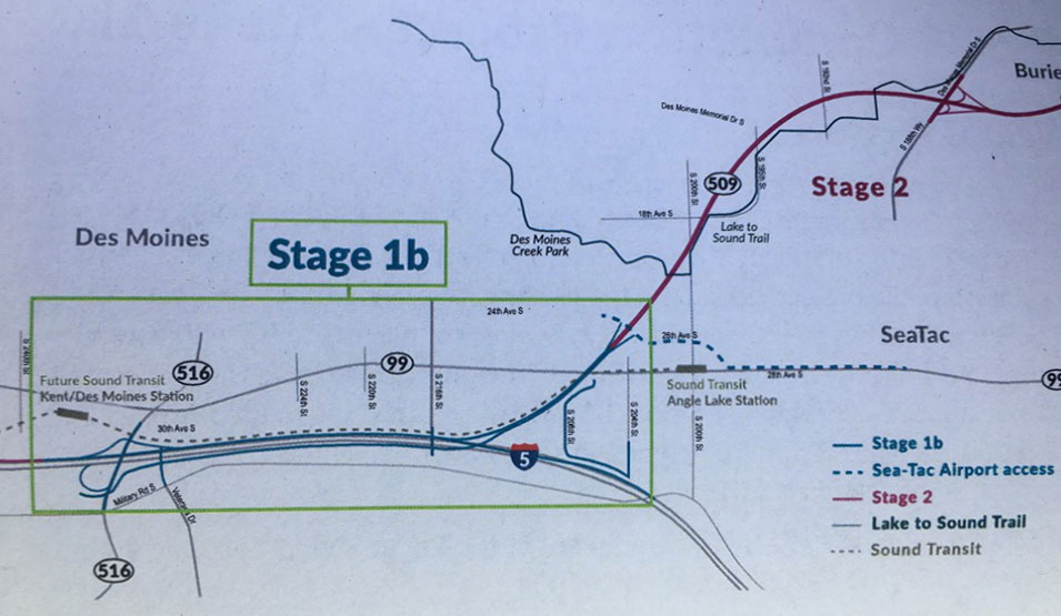
SR509 Completion Project I-5 Connector Overview
A planning map showing Stage 1b and Stage 2 alignments of the Lake to Sound Trail in the Des Moines and SeaTac, Washington area. Key landmarks labeled include Des Moines Creek Park, Sound Transit Angle Lake Station, the Future Sound Transit Kent/Des Moines Station, SR-509, SR-516, SR-99, and I-5, with trail segments distinguished by color-coded legend lines including Sea-Tac Airport access routes. -
 2019-09-12
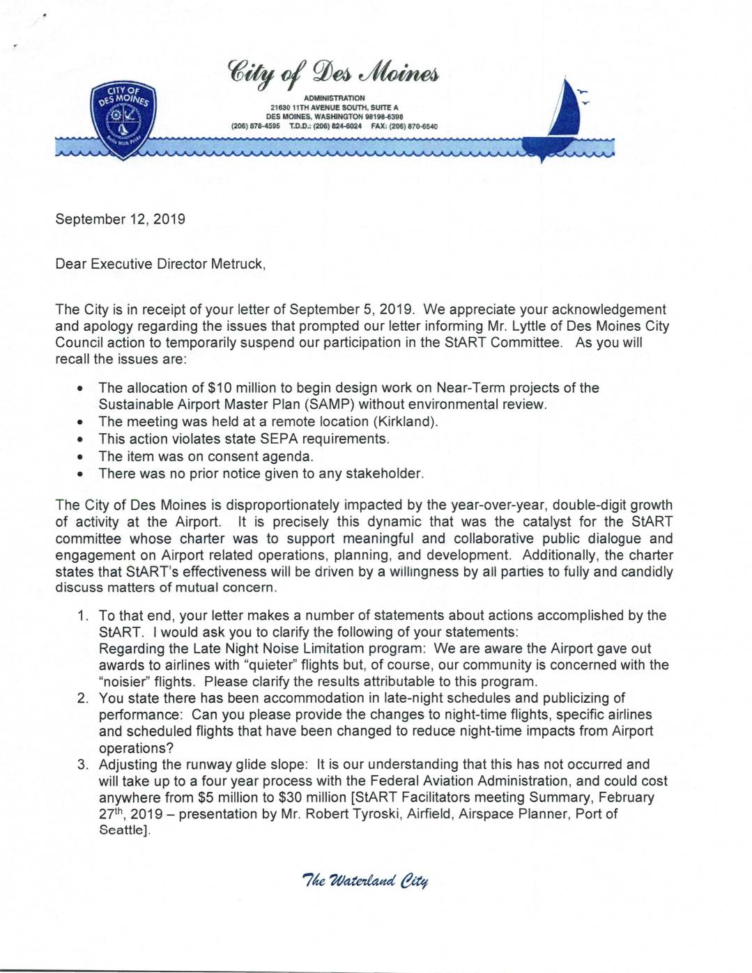
City of Des Moines response to Port Of Seattle Executive Director Metruck regarding StART Committee
In September 2019, the City of Des Moines responded to a Port of Seattle apology letter regarding the allocation of $10 million for Sustainable Airport Master Plan (SAMP) design work without prior environmental review or stakeholder notice, which had prompted Des Moines and other nearby cities to temporarily suspend participation in the Sea-Tac Stakeholder Advisory Round Table (StART). The City challenged the Port's claims of meaningful progress on noise reduction measures, requesting specific data on the Late Night Noise Limitation program, changes to nighttime flight schedules, and the status of runway glide slope adjustments. The exchange highlights ongoing tensions between Sea-Tac Airport and surrounding communities over transparency, environmental compliance, and the effectiveness of collaborative noise mitigation efforts. -
A Letter To Tina Orwall re. Stakeholder Meeting
Tina Orwall is a State Representative For the 33rd District. This letter is in regard to a Stakeholders Meeting she convened at Kent City Hall on August 15, 2019. Dear Tina, I wanted to share my thoughts on your Stakeholders Meeting last week. The Politics My objection to your support of my opponent is exactly