TagDes Moines(255)
-
 2021-04-01
Des Moines — April 2021
-
 2021-03-26
Green Des Moines Partnership – Urban Forest Enhancement Plan cover
Cover page of the Green Des Moines Partnership Urban Forest Enhancement Plan, featuring a volunteer planting a small tree or shrub near a large tree trunk, with an orange bucket visible in the foreground. The Green Des Moines Partnership logo appears in the lower right corner. -
 2021-02-09
SR509 Surplus Land Purchase: Supporting Development of the Des Moines Creek West Property
In February 2021, the Port of Seattle Commission was asked to authorize the purchase of a 14.3-acre strip of former SR-509 highway right-of-way from WSDOT for approximately $3.15 million. The land, located in Des Moines, WA adjacent to the Port's Des Moines Creek West property, was intended to support development near Seattle-Tacoma International Airport. The acquisition aimed to consolidate Port-controlled land in an industrial corridor close to the airport's flight path. -
2020-12-09
Community Mitigation Efforts Around Sea-Tac Airport For 2021
A speech to the Des Moines/Normandy Park Rotary Club December 9, 2020 By JC Harris You know that old aphorism “Fish don’t know they’re wet.”? That’s kinda how it goes for airport communities. And especially Sea-Tac Airport. Background Before I moved here in ’94, I worked as a consulting engineer in Detroit for many years. -
 2020-11-18
Highline Forum: Sound Transit Presentation by CEO Peter Rogoff
Sound Transit CEO Peter Rogoff presented to the Highline Forum in November 2020, outlining multiple light rail extensions under construction across the greater Seattle region. A key highlight for the Sea-Tac area is the Federal Way Link Extension, a 7.8-mile line with three new stations scheduled to open in 2024, which will connect the Federal Way Transit Center to Seattle-Tacoma International Airport in approximately 15 minutes. -
 2020-11-12
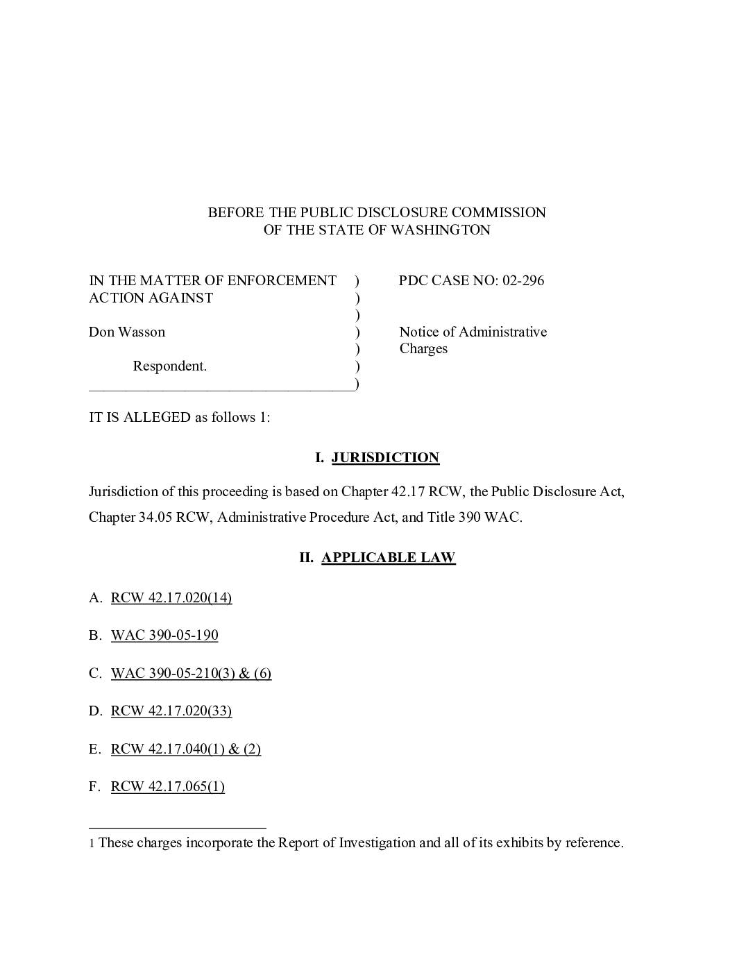
Notice of administrative charges against Don Wasson, PDC case no. 02-296
This 2002 Washington State Public Disclosure Commission case involves Don Wasson, a Des Moines City Council member, who allegedly helped orchestrate and fund campaign activities — including advocacy phone calls and a political poll — to elect three candidates (Benjamin, Petersen, and Steenrod) to the Des Moines City Council in 2001. The elections were closely tied to a dispute over the WESCOT Company's proposed conveyor system to transport fill material for a planned third runway at Seattle-Tacoma International Airport, which the existing Council had opposed. Wasson, who reportedly wanted to shift the Council's policies on airport expansion and become Mayor, faced charges of violating Washington's campaign finance reporting laws. -
 2020-07-13
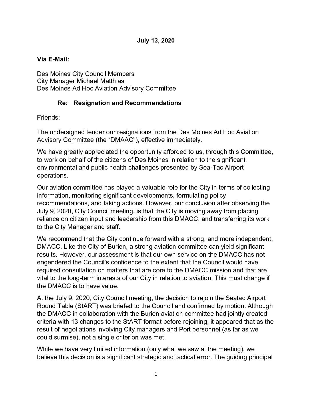
Resignation and recommendations from the Des Moines Ad Hoc Aviation Advisory Committee
Two members of the Des Moines Ad Hoc Aviation Advisory Committee (DMAAC) resigned in July 2020, citing frustration that the Des Moines City Council voted to rejoin the SeaTac Airport Round Table (StART) without meeting any of the 13 reform criteria the committee had jointly developed with Burien. The resignees argued that rejoining StART without securing meaningful reforms was a strategic mistake, as prior participation in the forum had proven ineffective and potentially harmful to the city's long-term interests. Despite their resignations, they pledged to continue advocating for reduced airport noise and environmental protections through other organizations and legislative channels. -
 2020-07-09
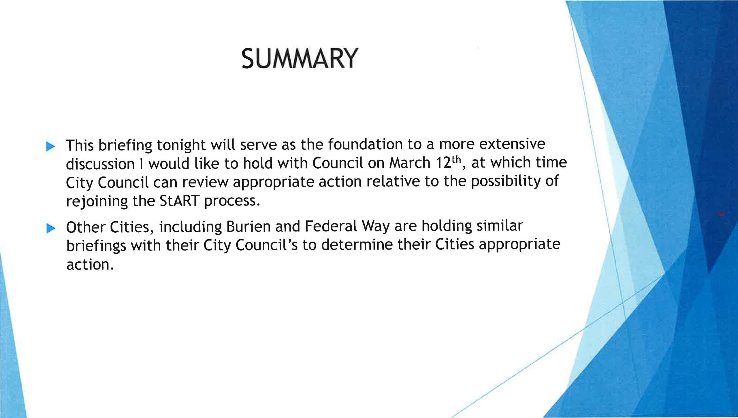
Des Moines City Council Briefing Slide on Rejoining StART Process
A presentation summary slide indicating that a briefing will serve as the foundation for a more extensive City Council discussion on March 12th regarding the possibility of rejoining the StART (Sea-Tac Airport Roundtable) process. The slide notes that other cities, including Burien and Federal Way, are holding similar briefings with their City Councils to determine appropriate action. -
 2020-07-09
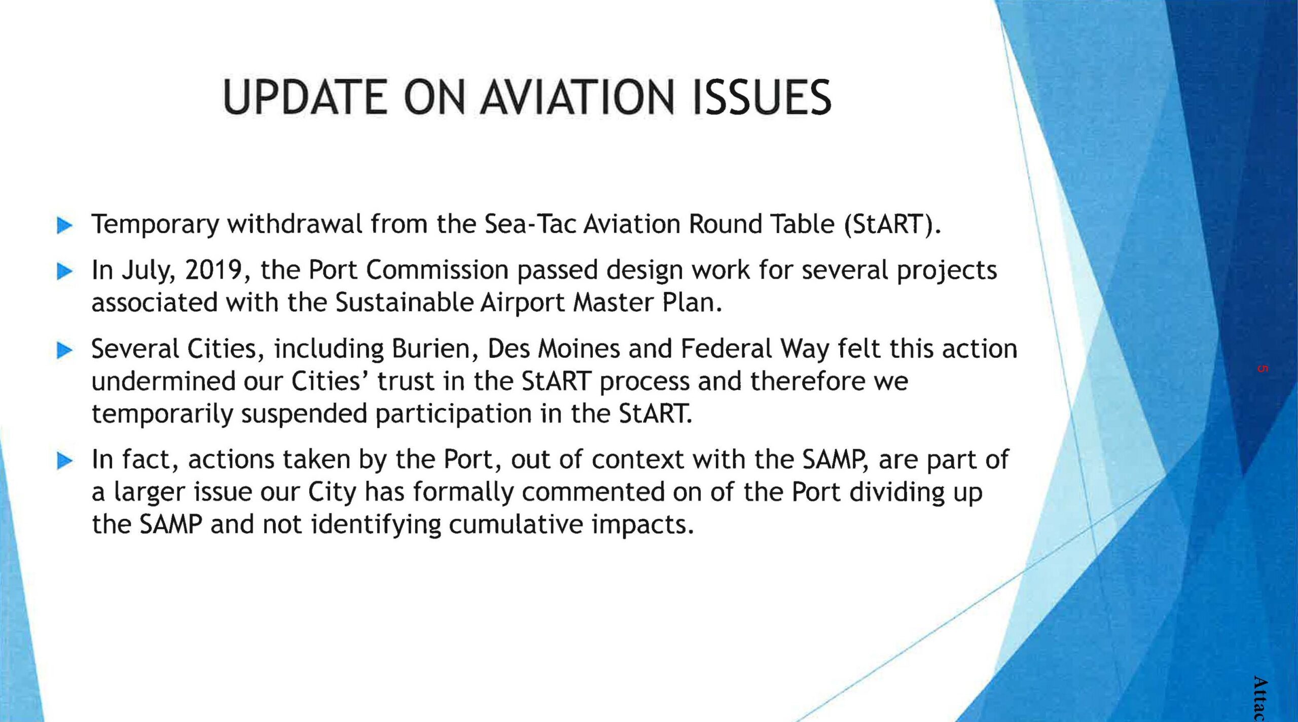
Burien, Des Moines, and Federal Way Suspend StART Participation Following Port Of Seattle SAMP Approval
This presentation slide documents the temporary suspension of participation by Burien, Des Moines, and Federal Way in the Sea-Tac Aviation Round Table (StART), following the Port Commission's July 2019 approval of design work for Sustainable Airport Master Plan (SAMP) projects. The cities cited loss of trust in the StART process and raised concerns about the Port dividing up the SAMP to avoid identifying cumulative impacts. -
 2020-07-09
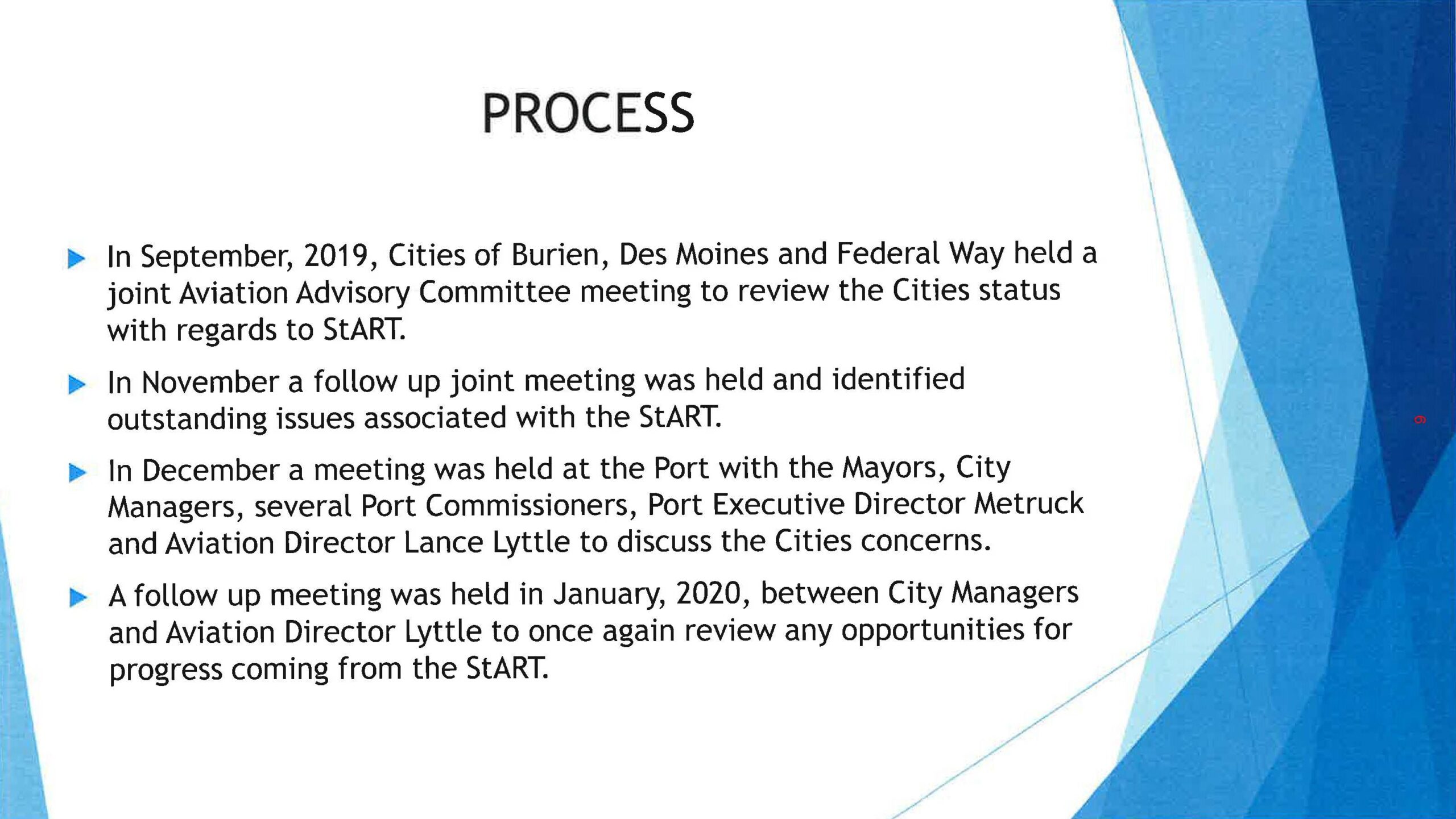
Des Moines, Burien, and Federal Way StART Process Update — July 2020
This presentation slide outlines the process undertaken by the Cities of Burien, Des Moines, and Federal Way regarding the StART (Sea-Tac Airport Roundtable) process, including joint Aviation Advisory Committee meetings in September and November 2019, a December 2019 meeting at the Port with Mayors, City Managers, Port Commissioners, Port Executive Director Metruck, and Aviation Director Lance Lyttle, and a January 2020 follow-up meeting between City Managers and Aviation Director Lyttle to review progress opportunities from StART.