TagSea-Tac Airport(1835)
-
 2018-04-01
Burien Categorical Exclusion April 2018
FAA categorical exclusion document for updating a Letter of Agreement between Seattle-Tacoma International Airport’s Air Traffic Control Tower and Seattle Terminal Radar Approach Control to automate a 250° westerly turn for southbound turboprops during north-flow operations. The automated turn would be suspended between 10 pm and 6 am in response to comments from the City -
 2018-03-31
The noise impact of the FAA’s NextGen program on the Vashon Island Community and what we plan to do about it
A presentation by David Goebel addressing the noise impact of the FAA’s NextGen program on Vashon Island. The document covers airport flow fundamentals, conventional RADAR vs NextGen RNAV approaches, and action items for addressing the noise issue. -
 2018-03-01
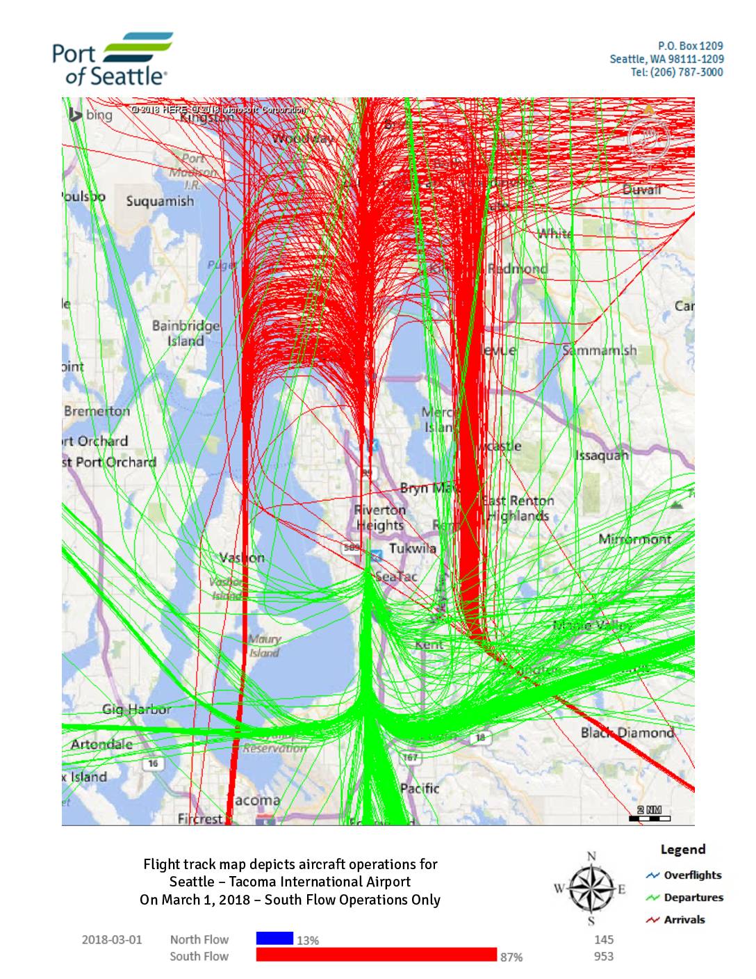
Flight track map depicts aircraft operations for Seattle – Tacoma International Airport on March 1-2, 2018
These flight track maps from the Port of Seattle show aircraft arrival, departure, and overflight paths at Seattle-Tacoma International Airport on March 1–2, 2018. On March 1, the airport operated predominantly in South Flow (87% of operations, 953 flights), with a brief period of North Flow (13%, 145 flights); on March 2, all 1,118 operations were conducted entirely in South Flow. The maps illustrate how flight corridors shift direction depending on the flow configuration, affecting which surrounding communities—such as those north of the airport near Shoreline and Mountlake Terrace versus those to the south near Auburn and Pacific—experience the greatest noise exposure. -
 2018-03-01
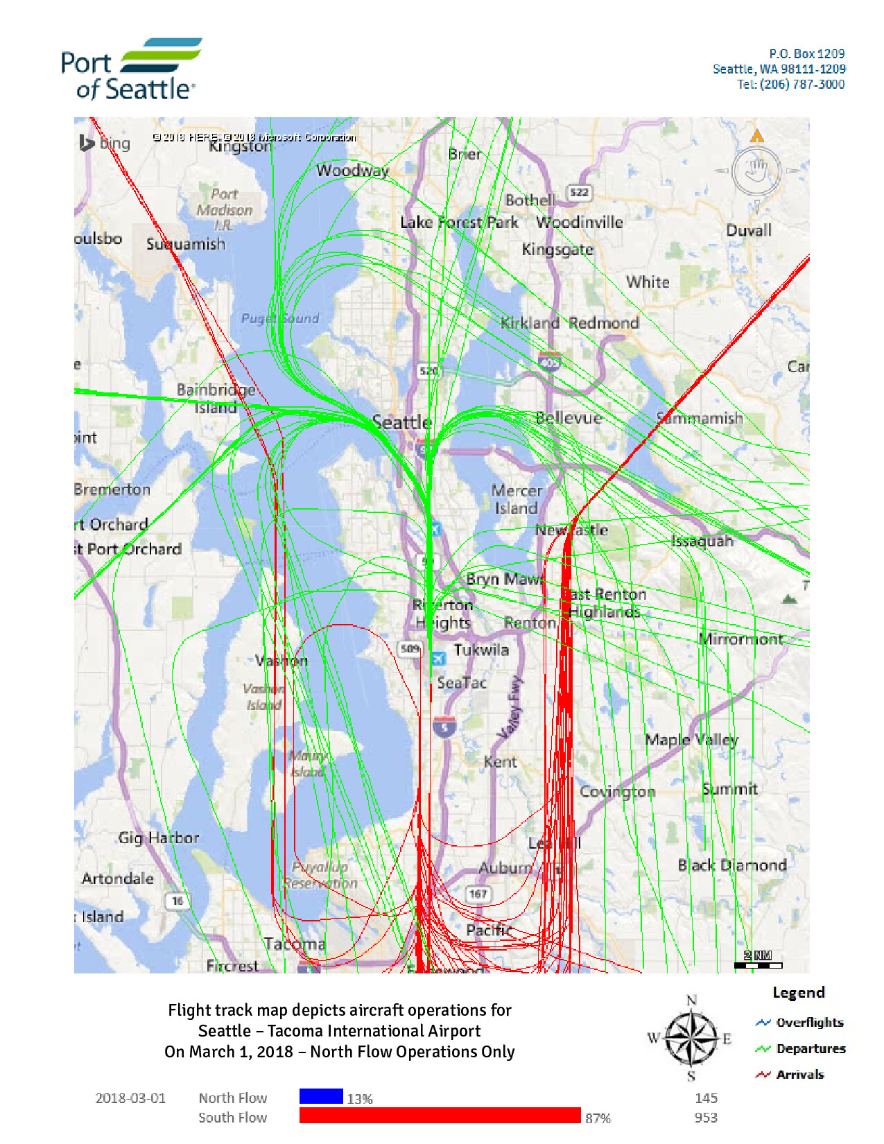
Sea-Tac Airport Daily Flight Track Map by Flow — North Flow Operations, March 1, 2018
Port of Seattle flight track map showing aircraft operations at Seattle-Tacoma International Airport on March 1, 2018, depicting North Flow operations only. The map displays overflights (blue), departures (green), and arrivals (red), with data indicating North Flow accounted for 13% of operations (145 flights) and South Flow 87% (953 flights) on that date. -
 2018-02-28
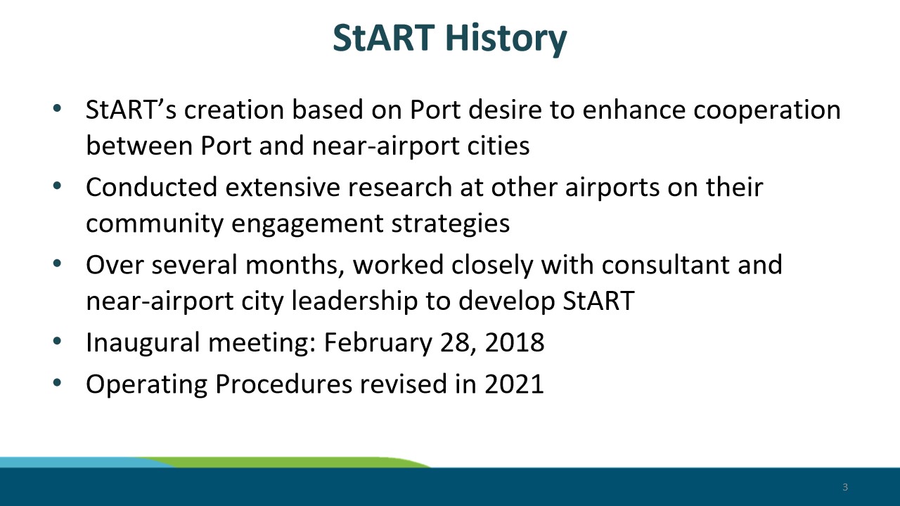
2-28 StART Meeting – StART Overview PowerPoint 3
Presentation slide titled 'StART History' outlining the origins of the Sea-Tac Airport StART (Sea-Tac Airport Roundtable) program, noting it was created to enhance cooperation between the Port and near-airport cities, with an inaugural meeting on February 28, 2018, and operating procedures revised in 2021. -
 2018-02-27
Port Of Seattle signatory lease and operating agreement 2018–2022
This is a Signatory Lease and Operating Agreement between the Port of Seattle and individual airlines for the operation of Seattle-Tacoma International Airport, covering the period 2018 to 2022. It outlines the terms under which airlines may use airport facilities including gates, terminals, airfield areas, and baggage systems, along with the associated rental rates and fees. The agreement also establishes rules for capital improvement approvals, gate assignments, and the rights and responsibilities of both the Port and signatory airlines. -
 2018-02-13
Sustainable Airport Master Plan (SAMP) update
This February 2018 briefing presents an update to the Sustainable Airport Master Plan (SAMP) for Seattle-Tacoma International Airport, outlining both near-term improvement projects and a long-term development vision for the airport. The plan addresses existing conditions, development constraints, and key functional areas—including terminal, cargo, and displaced facilities—while also covering environmental review and stakeholder engagement processes. A phased approach guides how the airport intends to manage growth and infrastructure changes over time. -
 2018-02-13
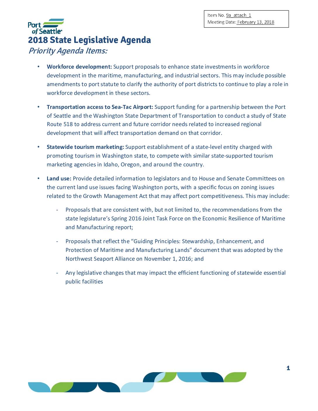
2018 state legislative agenda
The Port of Seattle's 2018 State Legislative Agenda outlines the organization's key policy priorities for the year, including workforce development in maritime and manufacturing industries, transportation improvements around Sea-Tac Airport, statewide tourism promotion, and land use issues affecting port competitiveness. The agenda also addresses quality job creation, support for small and minority-owned businesses, and transportation infrastructure funding for critical regional projects like the Puget Sound Gateway Program and State Route 518. While focused broadly on port operations and economic development, the document touches on airport-related transportation access and aviation safety regulations relevant to Sea-Tac Airport stakeholders. -
 2018-02-05
2018 local and regional government relations priorities
This February 2018 Port of Seattle Commission memo outlines the agency's local and regional government relations priorities for the year, covering areas such as workforce development, regional mobility, and environmental sustainability. Among the aviation-related priorities, the Port committed to advancing the Sustainable Airport Master Plan (SAMP), strengthening community engagement with airport-area neighborhoods through forums like the Sea-Tac Stakeholder Advisory Round Table (StART), and pursuing noise insulation grant funding for public schools near the airport. The document also highlights the Port's interest in studying the relationship between aviation activity and ultrafine particulate emissions as part of its broader state and federal legislative agenda. -
 2018-02-04
Sustainable Airport Master Plan (SAMP) planning update
The Port of Seattle's February 2018 briefing updates the Commission on the Sustainable Airport Master Plan (SAMP), a long-range planning effort initiated in 2013 to identify facility improvements needed at Seattle-Tacoma International Airport over a 20-year horizon. The plan proposes a package of near-term projects—including 19 gates connected to a new terminal north of the existing complex—projected to meet capacity needs through 2027, while keeping the airport's current three-runway system in place. Public scoping for environmental review of these near-term projects was anticipated to begin in mid-to-late 2018.