TagSea-Tac Airport(1835)
-
 2020-07-01
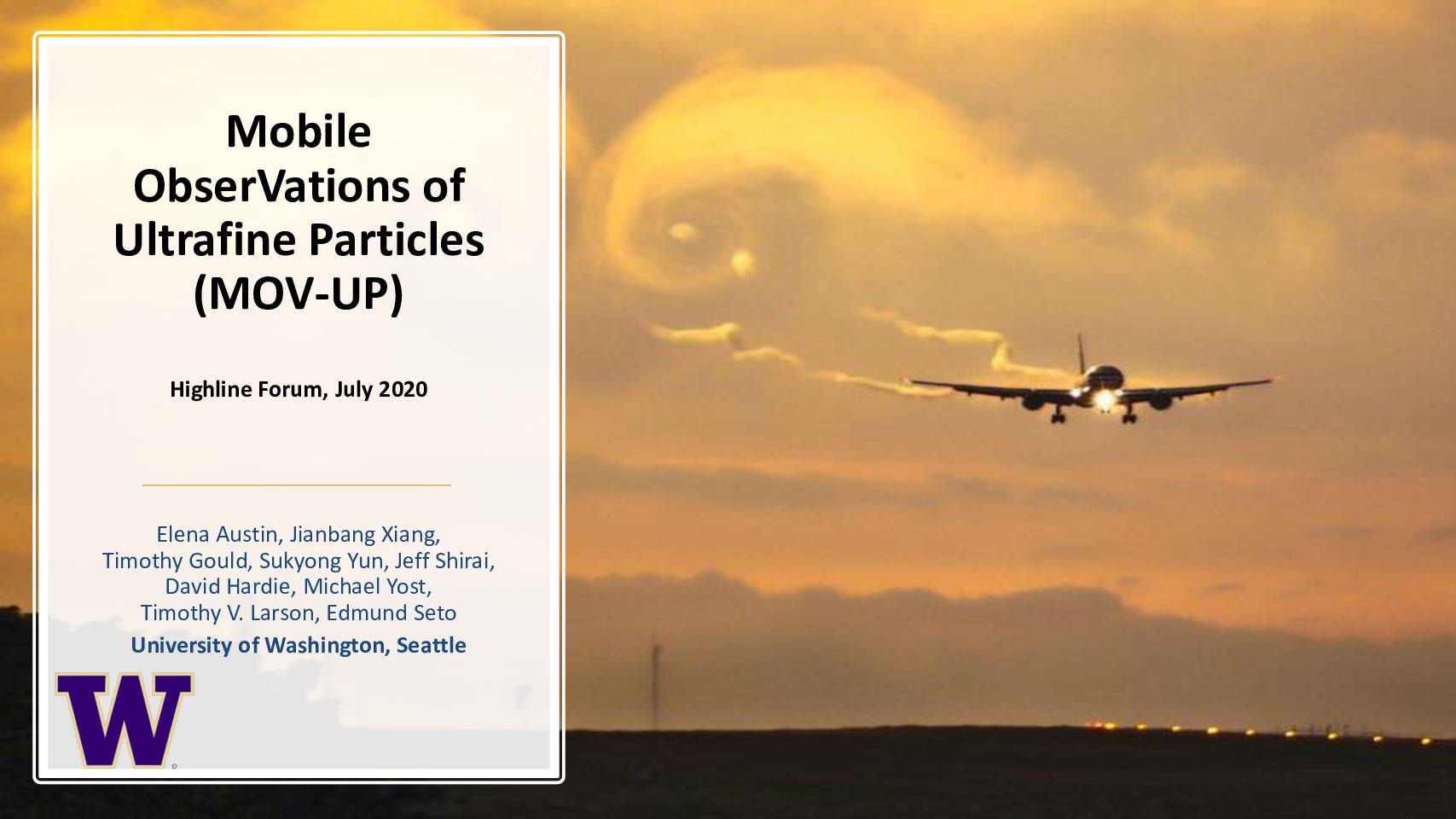
Mobile ObserVations of Ultrafine Particles (MOV-UP)
Researchers at the University of Washington conducted the MOV-UP study to measure ultrafine particle (UFP) pollution around Seattle-Tacoma International Airport and the neighborhoods affected by its air traffic. The study aimed to determine how much of the UFP exposure in surrounding communities comes specifically from jet aircraft, which emit extremely tiny particles (under 30 nanometers) along flight paths, versus other sources like diesel vehicles on nearby roads. Findings and community feedback were shared with local governments to inform air quality and noise policy decisions. -
 2020-06-24
StART Aviation Noise Working Group – update
This June 2020 StART Aviation Noise Working Group update outlines Seattle-Tacoma International Airport's near-term action plan to reduce aircraft noise impacts on surrounding communities. Key initiatives include a voluntary Late-Night Noise Limitation Program, a revised Runway Use Program to limit third-runway use at night, and a glideslope adjustment for Runway 34R to reduce approach noise. Additional measures include ground noise analysis, a Noise Abatement Departure Profiles Study, and encouraging airlines to install vortex generators on older A320 aircraft to lessen descent noise. -
 2020-05-29
Stantec Sea-Tac Airport Communities Impact Study: Appendix A, Section 5 – Noise & Vibration
This 2020 report examines how noise from Seattle-Tacoma International Airport has changed between 1997 and 2019, focusing on the impact of aircraft takeoffs, landings, and overflights on nearby communities. It explains key noise measurement concepts—including decibels, Sound Exposure Level (SEL), and the Day-Night Average Sound Level (DNL)—and notes that while DNL is the federal regulatory standard used by the FAA, individual SEL events are often what residents find most disruptive. The report highlights a growing tension between how federal agencies measure and regulate aircraft noise and the real-world experience of people living under flight paths. -
 2020-05-29
Stantec 2020 Sea-Tac Airport Impact Study: Appendix A, Section 4 – Community Input (pp. 41–43)
A 2020 study gathered input from 48 community stakeholders near Seattle-Tacoma International Airport, finding that while residents valued the economic benefits, jobs, and convenient access the airport provides, noise and air quality were the top concerns—especially for those living to the south and west under flight paths. Stakeholders raised issues including late-night flights, NextGen procedures concentrating aircraft noise, ultrafine particle pollution, and the limitations of existing noise mitigation programs. Traffic congestion and potential public health impacts from aircraft emissions were also frequently cited challenges. -
 2020-05-29
Stantec Sea-Tac Airport Communities Impact Study: Section 2 – Background (Appendix A, pp. 9–11)
This background section traces the history of Seattle-Tacoma International Airport from its origins as a World War II military airfield to its current status as the eighth busiest U.S. airport, handling 51.8 million passengers in 2019. It covers key milestones including the airport's 1949 opening for commercial service, the controversial addition of a third runway in 2008, and the surrounding communities that have been affected by the airport's growth. The document also outlines the Port of Seattle's future expansion plans under its Sustainable Airport Master Plan, which aims to accommodate nearly 500,000 operations and 56 million passengers annually by 2027. -
 2020-05-29
Section 1: Introduction — Study of the Current and Ongoing Effects of the Operation of the Seattle-Tacoma International Airport
A 2020 Washington State study, funded by the legislature and six nearby cities with a combined $600,000 budget, examines how Seattle-Tacoma International Airport's operations have historically affected surrounding communities including Burien, Des Moines, Federal Way, Normandy Park, SeaTac, and Tukwila. Unlike a similar 1997 study that projected future impacts from a proposed third runway, this study reviews historical data from 1997 to 2019 to establish a baseline of airport-related impacts across a range of metrics. The study area covers about 61 square miles and is home to over 237,000 residents, a population density roughly 3.3 times greater than the King County average. -
 2020-05-29
Section 14: Summary — Study of the Current and Ongoing Effects of the Operation of the Seattle-Tacoma International Airport
A 2020 study evaluated the positive, negative, and neutral effects of Seattle-Tacoma International Airport on six nearby cities — Burien, Des Moines, Federal Way, Normandy Park, SeaTac, and Tukwila — using data spanning 1997 to 2019. The study found that noise was the top public concern, followed closely by air quality issues from aircraft operations, along with traffic congestion and distrust of the FAA and Port of Seattle. Researchers attempted to distinguish between impacts directly caused by airport operations and those resulting from the broader regional population growth that roughly doubled over the same period. -
 2020-05-29
Section 13: Socio-Economics — Study of the Current and Ongoing Effects of the Operation of the Seattle-Tacoma International Airport
This 2020 report examines the socio-economic conditions in six south King County cities near Seattle-Tacoma International Airport, including Burien, Des Moines, Federal Way, Normandy Park, SeaTac, and Tukwila. It analyzes demographic trends such as population growth, age distribution, and ethnic profiles from 1997 to 2018, finding that most study area cities grew more slowly than King County overall, with Burien being a notable exception largely due to a 2010 annexation. The report is part of a broader study assessing how airport operations affect surrounding communities across indicators including income, housing, education, employment, and municipal tax revenues. -
 2020-05-29
Stantec Sea-Tac Airport Communities Impact Study: Section 12 – Public Health (Pages 285–307)
This 2020 public health study examines the effects of Seattle-Tacoma International Airport operations on nearby communities, analyzing health indicators such as cancer, heart disease, and Alzheimer's disease death rates between 2012 and 2016. Study area cities like Burien, Des Moines, Federal Way, SeaTac, and Tukwila generally showed higher cancer and heart disease death rates than King County as a whole, though rates declined somewhat over the period. The report aims to identify whether airport operations contributed to adverse health outcomes and recommends strategies for ongoing investigation and mitigation. -
 2020-05-29
Section 11: Public Safety — Study of the Current and Ongoing Effects of the Operation of the Seattle-Tacoma International Airport
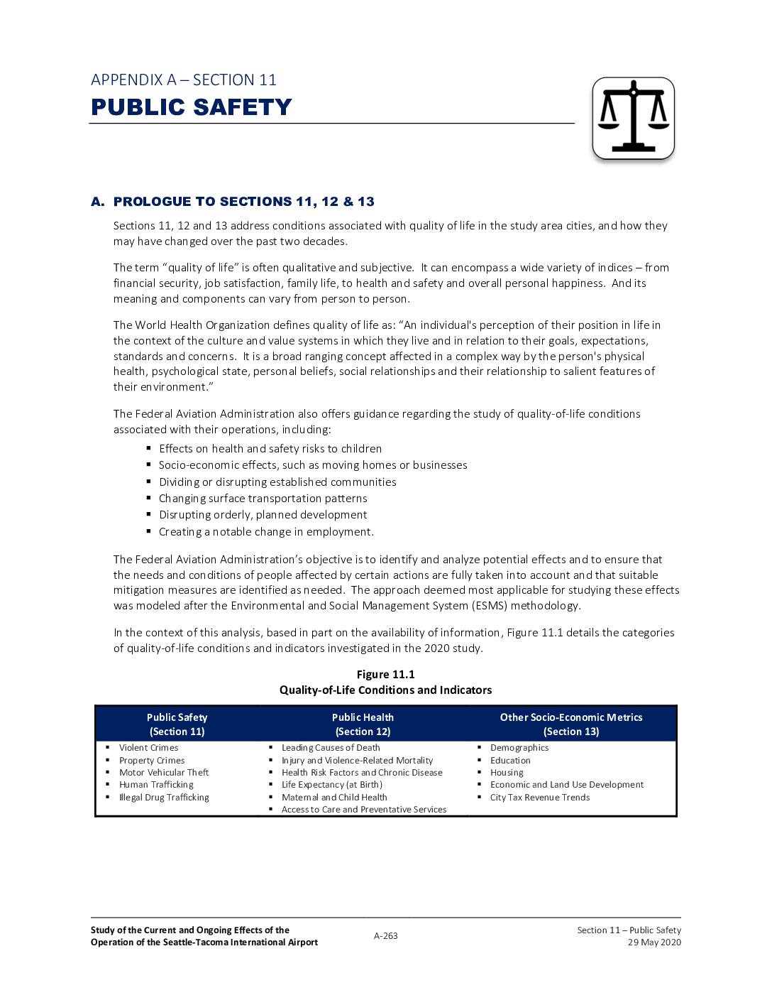
A 2020 study examined how Seattle-Tacoma International Airport has affected quality of life in nearby communities over the past two decades, looking at public safety, health, and socioeconomic conditions across three time periods: 1997, 2009, and 2019. The study built on a 1997 report that found airport neighbors bore disproportionate burdens—including lower property values, higher social service demand, and increased noise and pollution—while regional benefits largely bypassed them. Key findings confirm that many of those predicted adverse effects, such as shifts from owner-occupied to rental housing and rising service costs, have continued to materialize in communities closest to the airport.