TagSea-Tac Airport(1855)
-
 1973-01-01
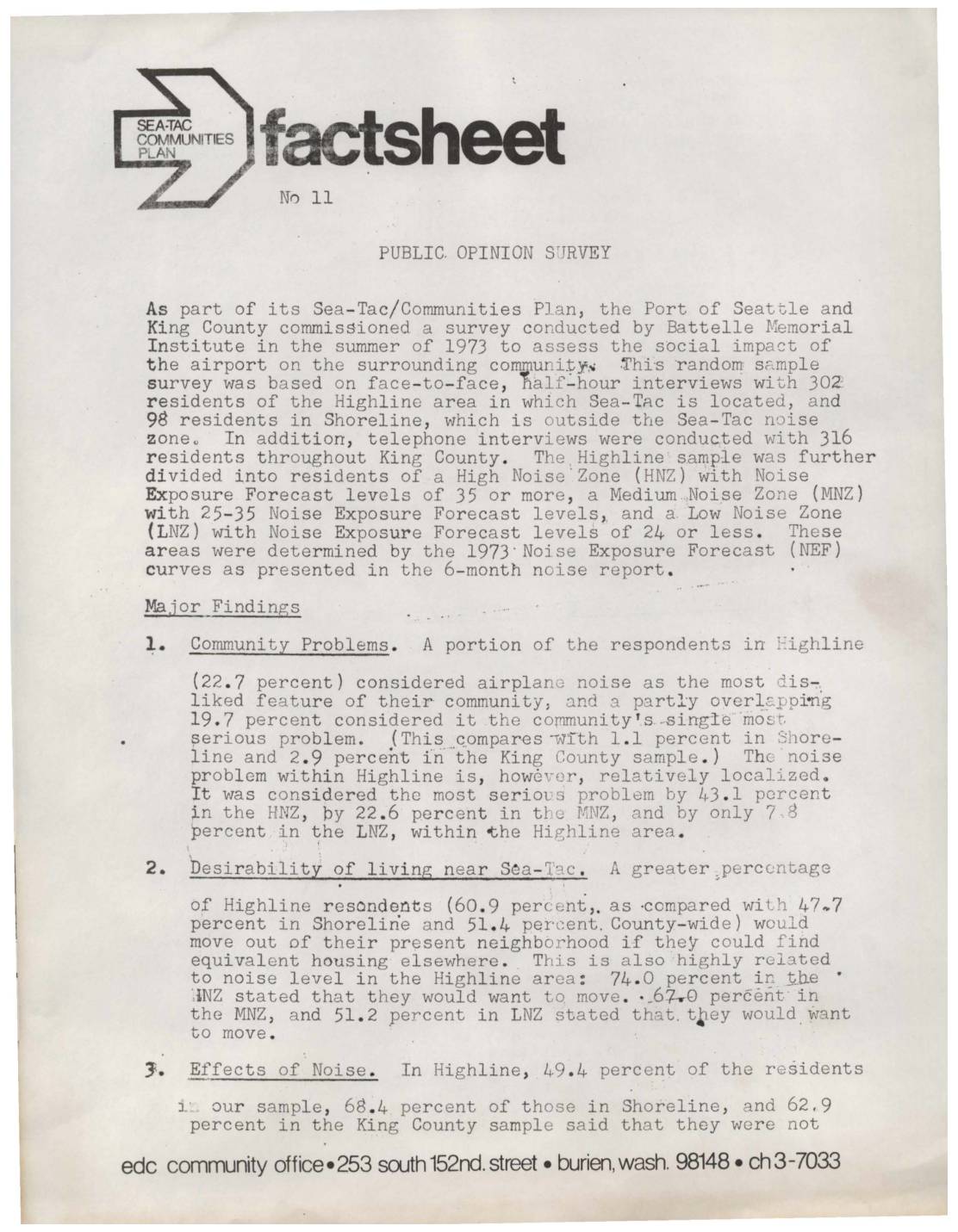
Public Opinion Survey: Sea-Tac Communities Plan Factsheet No. 11
A 1973 public opinion survey commissioned by the Port of Seattle and King County found that nearly one in five Highline-area residents considered airplane noise from Sea-Tac Airport their community's single most serious problem, with concern rising sharply among those living in the highest-noise zones. Highline residents were more likely to want to move than those in quieter comparison areas, though the survey also found that the Port of Seattle was viewed favorably by a strong majority across all groups surveyed. -
 1972-09-01
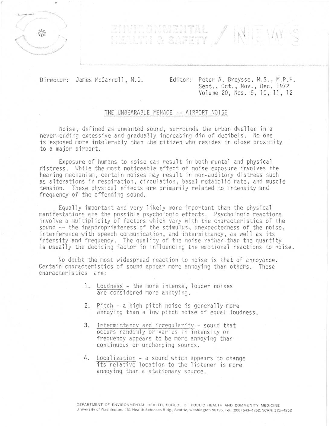
The unbearable menace — airport noise
A 1972 University of Washington environmental health report examines the serious physical and psychological effects of aircraft noise on residents living near Seattle-Tacoma Airport. On-site measurements recorded up to 95 dBA indoors, with hundreds of daily flyovers exceeding 75 dBA—levels shown by research to disrupt sleep, impair children's school performance, and pose long-term mental and physical health risks. The report also highlights how excessive ambient noise in nearby schools interferes with speech comprehension and the learning process. -
 1972-09-01
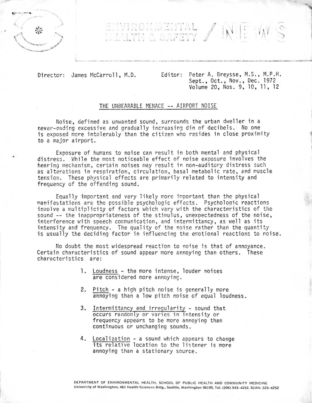
The Unbearable Menace — Airport Noise
A 1972 University of Washington environmental health report examines the serious health impacts of aircraft noise on residents living near Seattle-Tacoma Airport, including sleep disturbance, psychological effects, and interference with speech in schools. Noise measurements taken at four locations near the airport recorded up to 95 dBA, with dozens of flyovers exceeding 75 dBA even during nighttime sleeping hours, levels researchers considered potentially hazardous to mental and physical health. The report also highlights special risks for vulnerable groups such as young children, the elderly, the sick, and night-shift workers. -
 1972-05-24
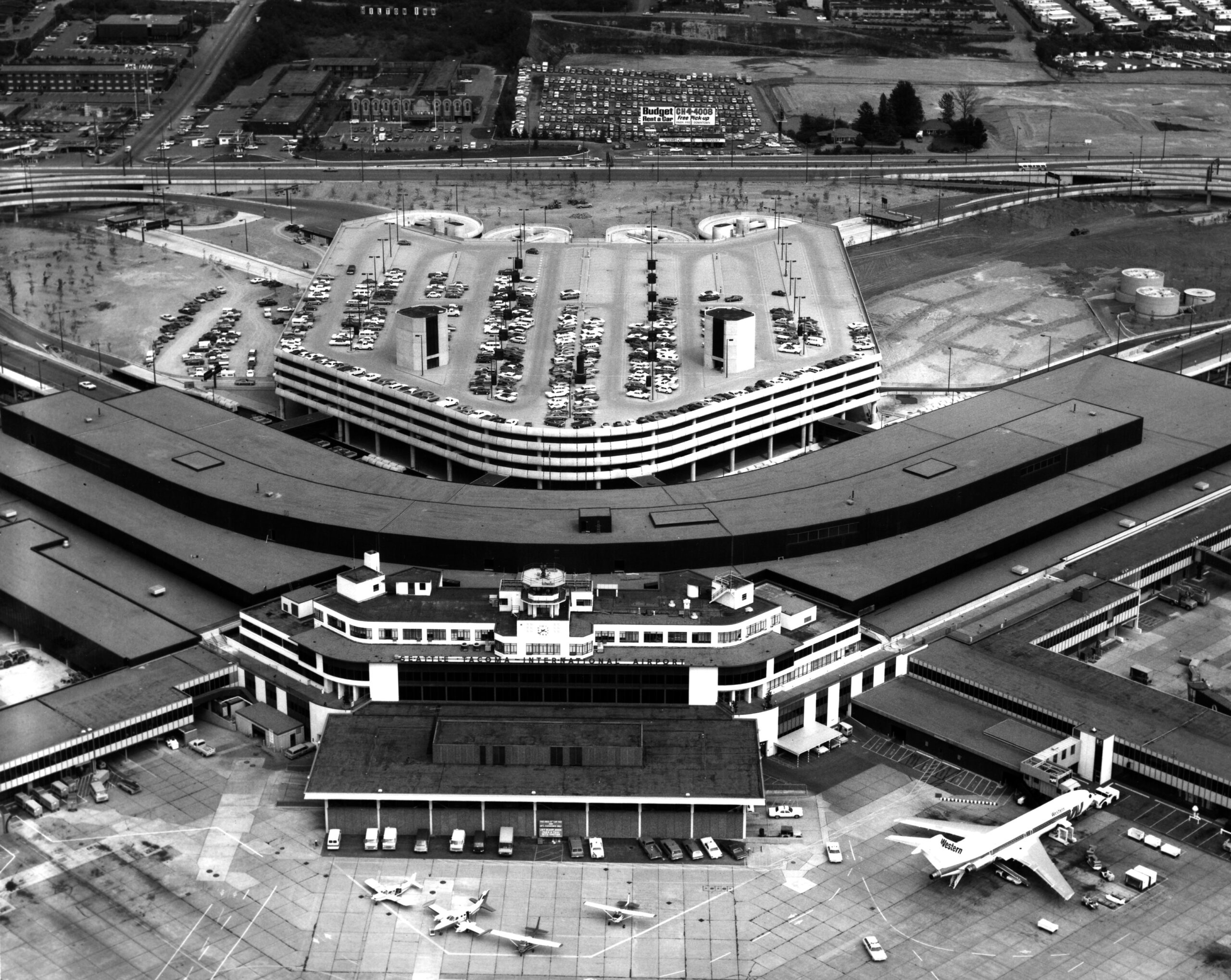
Sea-Tac Airport Aerial View with Western Airlines Jet at Gate
Aerial photograph of Seattle-Tacoma International Airport showing the main terminal building, multi-level parking garage, and tarmac. A Western Airlines jet is visible at the gate, and a Budget Rent a Car billboard is visible in the background parking area. -
 1971-09-16
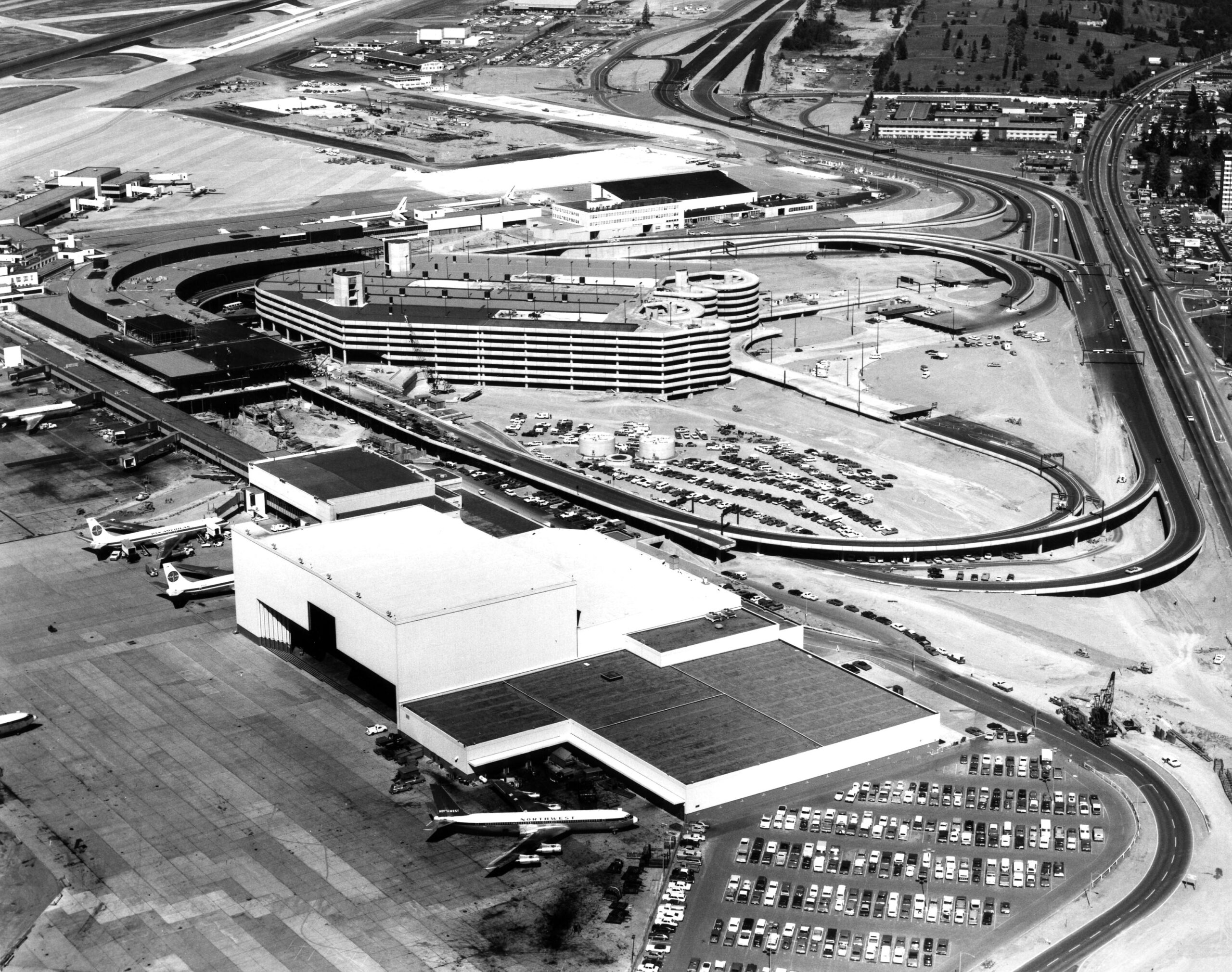
Sea-Tac Airport Aerial View, 1971
Aerial photograph of Seattle-Tacoma International Airport showing the main terminal complex, multi-level parking garage, and aircraft on the tarmac. Visible aircraft include Pan Am and Northwest Airlines liveries, consistent with the airport's configuration during the early 1970s expansion period. -
 1971-01-01
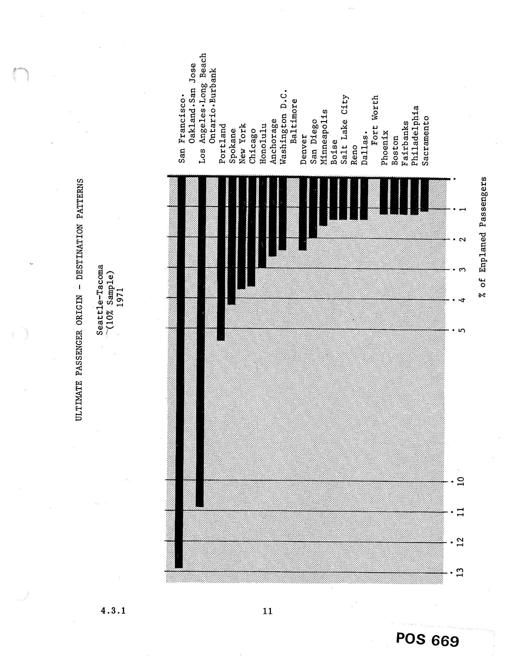
Sea-Tac Airport Passenger Origin-Destination Patterns Bar Chart (1971)
A horizontal bar chart from document POS 669 (section 4.3.1) showing the ultimate passenger origin-destination patterns for Seattle-Tacoma airport based on a 10% sample from 1971. The chart ranks destinations by percentage of enplaned passengers, with San Francisco leading at approximately 13%, followed by Oakland/San Jose, Los Angeles/Long Beach, and other cities including Honolulu, Chicago, New York, and Washington D.C. -
-
 1971-01-01
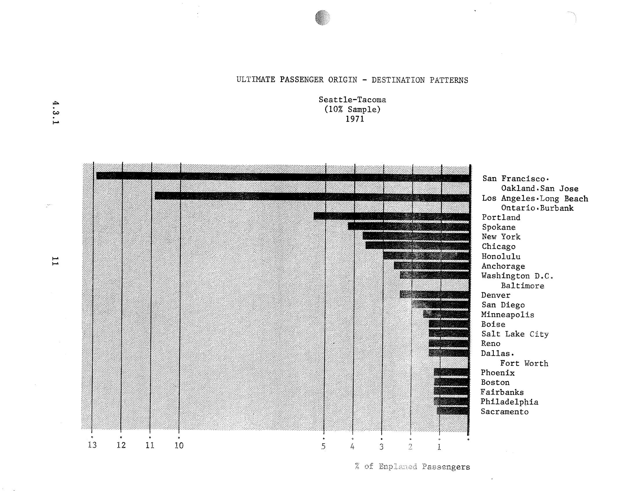
Sea-Tac Airport STCP: Top Passenger Origin-Destination City Pairs by Percentage of Enplaned Passengers, 1971
A horizontal bar chart from a Sea-Tac Airport document (section 4.3.1) showing the top passenger origin-destination city pairs by percentage of enplaned passengers for 1971, based on a 10% sample. San Francisco/Oakland/San Jose and Los Angeles/Long Beach/Ontario/Burbank are the dominant destinations, each exceeding 10% of enplaned passengers, followed by Portland, Spokane, New York, and Chicago. -
 1970-10-01
Air pollution by jet aircraft at Seattle-Tacoma Airport: Historical summary and commentary
This document traces decades of air pollution concerns around Seattle-Tacoma International Airport, drawing on studies from 1970 through 1991 that documented harmful emissions including carbon particles, hydrocarbons, and nitrogen oxides affecting residents living near the airport. It highlights how early research identified health risks and pollution spread up to 12 miles from the runways, yet meaningful follow-up scientific study and regulatory action were largely delayed for 45 years. Community groups, lawsuits, and independent monitoring repeatedly confirmed that nearby residents faced noise, kerosene odors, soot, and air quality violations, while the Port of Seattle externalized the associated public health costs. -
 1970-01-01
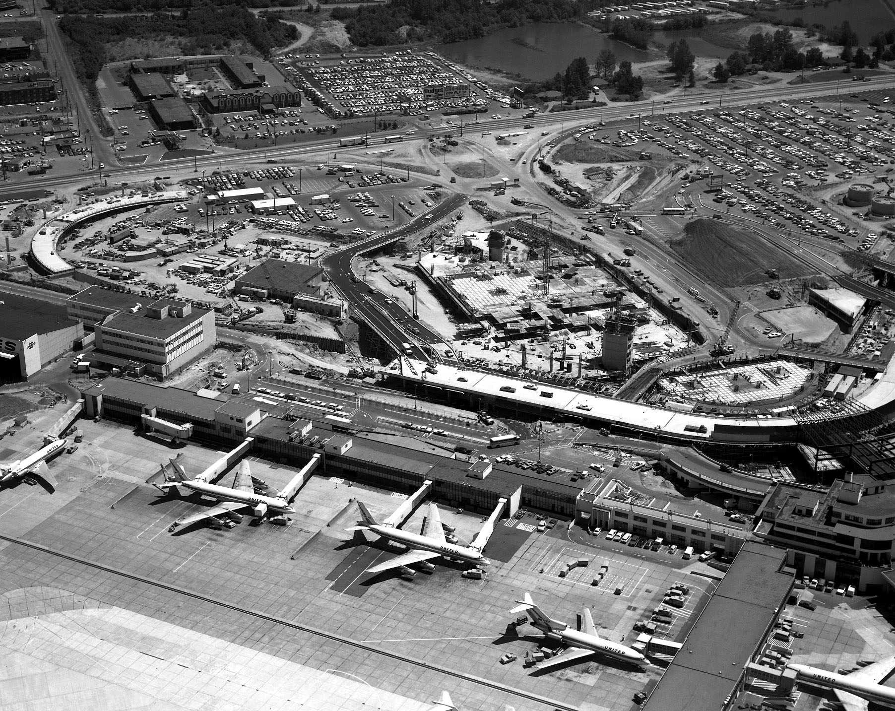
Sea-Tac Airport Aerial View with United Airlines Gates and Terminal Construction
Black-and-white aerial photograph showing Sea-Tac Airport's existing terminal with multiple United Airlines jet aircraft (visible 'UNITED' livery on fuselages) parked at gates, alongside a large active construction project underway immediately north of the terminal. Extensive parking lots, access roads, and surrounding commercial development are visible in the background.