TagSea-Tac Airport(1855)
-
 1974-01-06
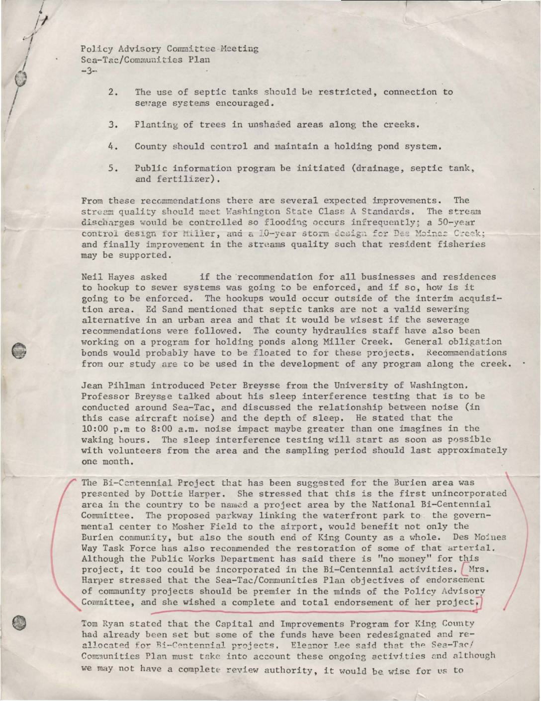
Policy Advisory Committee meeting, Sea-Tac-Communities Plan
This document summarizes a Policy Advisory Committee meeting for the Sea-Tac/Communities Plan, covering recommendations to improve local creek water quality through sewer hookups, tree planting, and holding ponds. It also describes a University of Washington study on how nighttime aircraft noise disrupts sleep for residents near Sea-Tac Airport. Additionally, a proposed Bi-Centennial parkway project linking Burien's waterfront to the airport was presented, with a request for the committee's full endorsement. -
 1974-01-01
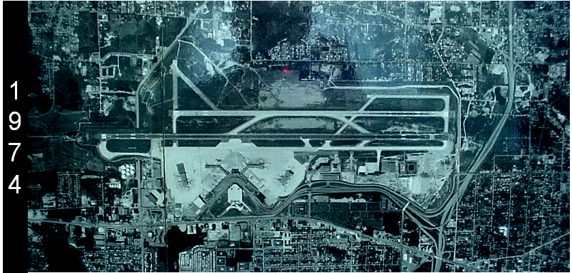
Sea-Tac Airport Aerial Photograph, 1974
Aerial satellite or reconnaissance photograph of Seattle-Tacoma International Airport (Sea-Tac) dated 1974, showing the parallel runway configuration, terminal complex, and surrounding urban development. The image is labeled with the year 1974 on the left side and appears to be a historical planning or archival document. -
 1974-01-01
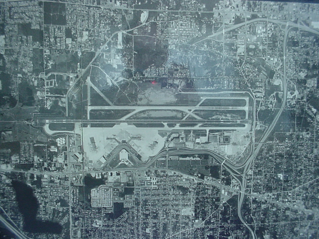
Sea-Tac Airport Aerial Photograph, 1974
Black-and-white aerial or satellite photograph showing a large commercial airport with multiple parallel runways, terminal buildings, taxiways, and surrounding dense urban development. No visible text, labels, or watermarks are present to confirm the specific airport identity or date. -
 1974-01-01
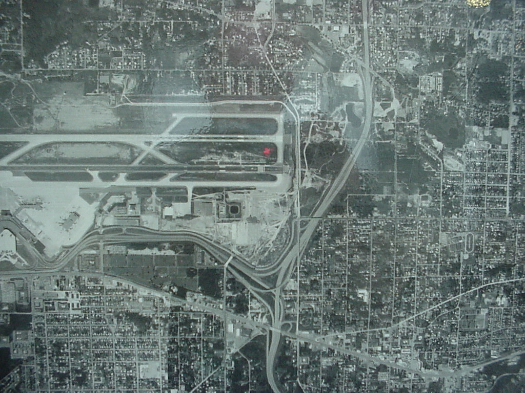
Sea-Tac Airport Aerial View, 1974
Black-and-white aerial photograph showing a commercial airport with multiple parallel runways, terminal area, and access roadways, surrounded by a dense urban street grid. No visible text, date, or identifying labels are present in the image. -
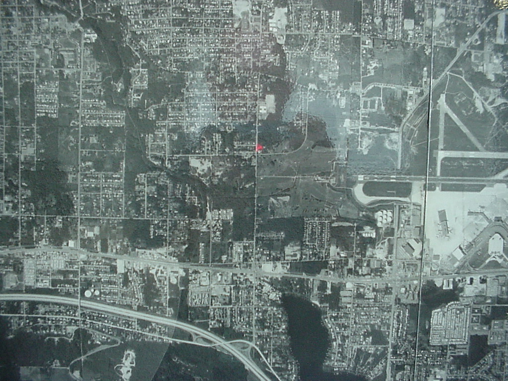 1974-01-01
1974 Aerial Photograph of Sea-Tac Airport and Surrounding Urban Grid
Black-and-white aerial photograph showing a densely developed urban grid with what appears to be an airport facility with runways visible in the upper-right quadrant. A small red marker is visible near the center of the image, possibly indicating a reference point on the map. -
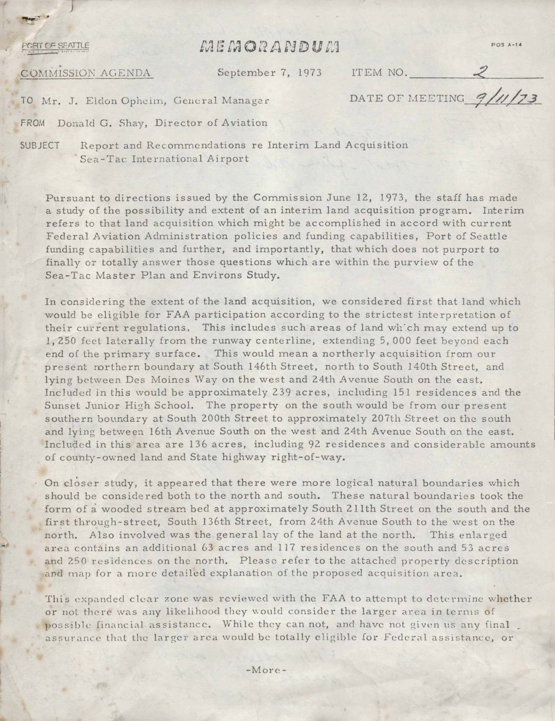 1973-09-07
Report and recommendations re interim land acquisition, Sea-Tac International Airport
A 1973 Port of Seattle memorandum outlines a proposed interim land acquisition program around Sea-Tac International Airport, targeting properties to the north and south of the airport's existing boundaries to establish expanded clear zones. The plan covers approximately 610 residential parcels and 75 acres of open land valued at an estimated $15.46 million, with the Port seeking over $8 million in Federal Aviation Administration funding to offset costs. Land acquisition was projected to begin no earlier than July 1, 1974, following required environmental impact statements, housing relocation plans, and FAA review and approval. -
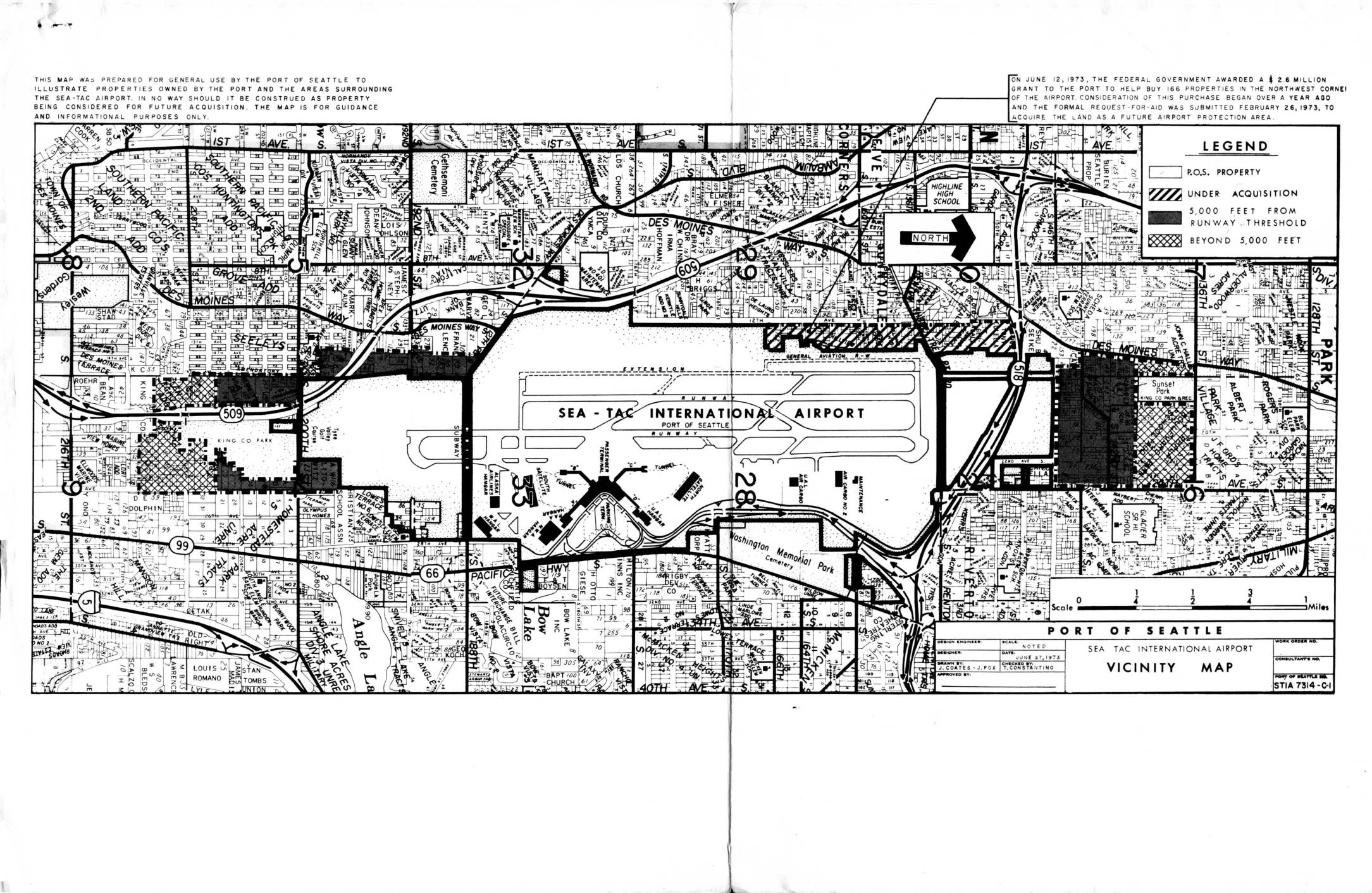 1973-09-07
Report and recommendations re interim land acquisition, Sea-Tac International Airport
In September 1973, the Port of Seattle outlined a plan to acquire approximately 610 residential properties and 75 acres of open land surrounding Sea-Tac International Airport to create expanded clear zones north and south of the runways. The total estimated property cost was $15.46 million, with the Port anticipating over $8 million in federal FAA assistance and covering the remainder from airport revenues between 1974 and 1977. Under the best-case scenario, actual land acquisition could not begin until after July 1, 1974, following required environmental impact statements, housing relocation plans, and a multi-month FAA review process. -
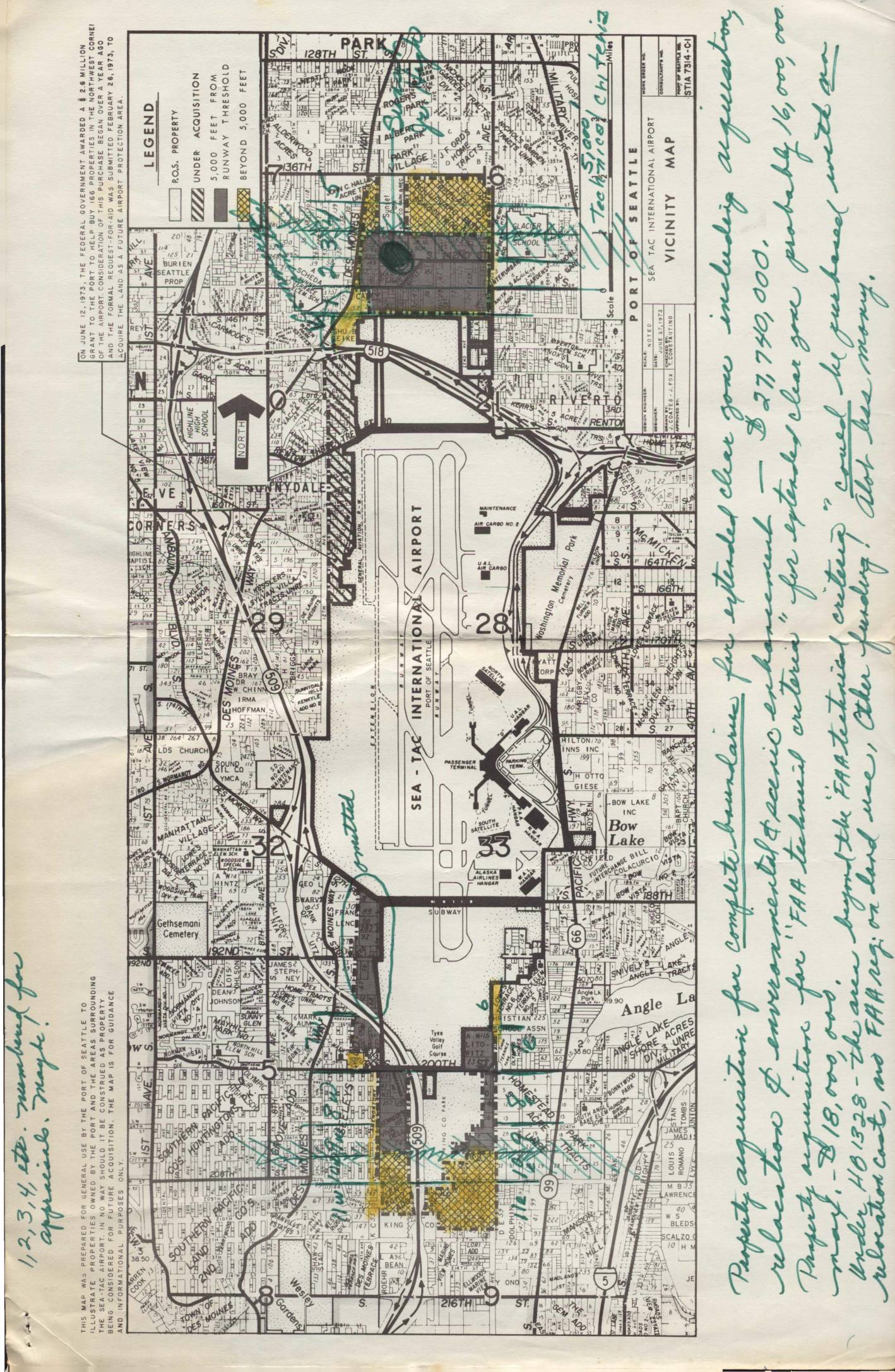 1973-09-07
Land use map, heavily notated with property acquisition notes by Virginia Dana
In September 1973, the Port of Seattle's Director of Aviation recommended an interim land acquisition program around Sea-Tac International Airport, targeting approximately 610 residential parcels and 75 acres of open land in clear zones north and south of the runways. The estimated cost of the acquisitions was $15.46 million, with the FAA expected to contribute over $8 million and the Port of Seattle covering the remaining $8 million from airport revenues between 1974 and 1977. Under the best-case timeline, actual land purchases could not begin until after July 1, 1974, following completion of environmental impact statements, housing relocation plans, and FAA review. -
 1973-06-28
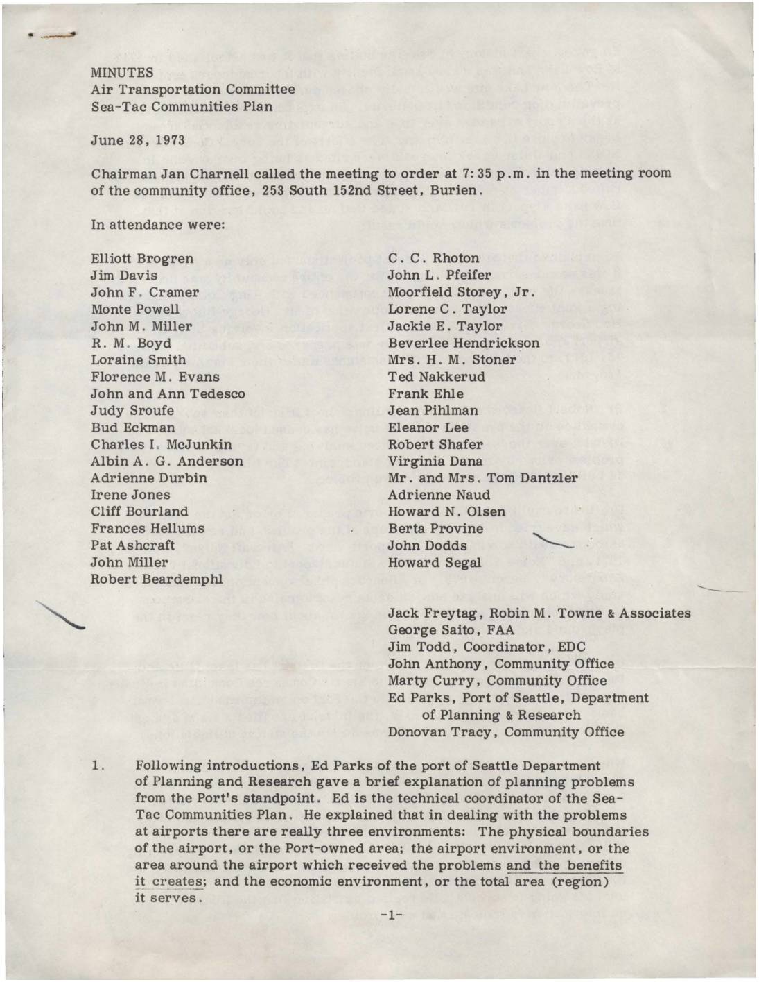
Minutes: Air Transportation Committee, Sea-Tac Communities Plan
Minutes from a June 28, 1973 Air Transportation Committee meeting on the Sea-Tac Communities Plan, held in Burien, Washington. Representatives from the Port of Seattle, FAA, Highline School District, and local community groups discussed the history of Sea-Tac Airport's expansion, the impact of aircraft noise on nearby schools and neighborhoods, and ongoing efforts to measure and reduce noise exposure. Key topics included new comprehensive noise measurement methods, federal agency roles in noise regulation, and strategies for noise abatement such as modified flight procedures and sound-absorbing materials. -
 1973-06-21
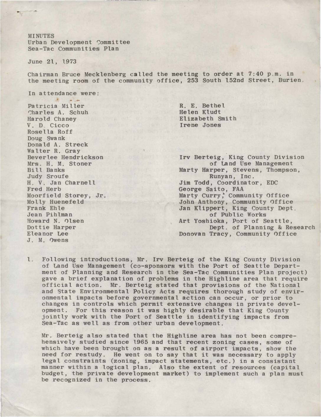
Minutes: Urban Development Committee, Sea-Tac Communities Plan
Minutes from a June 21, 1973 Urban Development Committee meeting on the Sea-Tac Communities Plan, held in Burien, Washington. The meeting covered the need for updated environmental and zoning studies in the Highline area due to airport impacts, a community opinion survey from White Center residents, and a water quality and drainage study. Officials discussed developing a focused 'middle plan' for the Highline area to better address local needs and airport-related land use challenges.