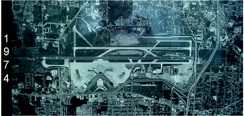
Aerial satellite or reconnaissance photograph of Seattle-Tacoma International Airport (Sea-Tac) dated 1974, showing the parallel runway configuration, terminal complex, and surrounding urban development. The image is labeled with the year 1974 on the left side and appears to be a historical planning or archival document.Open full document
Notes
Aerial satellite or reconnaissance photograph of Seattle-Tacoma International Airport (Sea-Tac) dated 1974, showing the parallel runway configuration, terminal complex, and surrounding urban development. The image is labeled with the year 1974 on the left side and appears to be a historical planning or archival document.