TagSea-Tac Airport(1835)
-
 2001-11-15
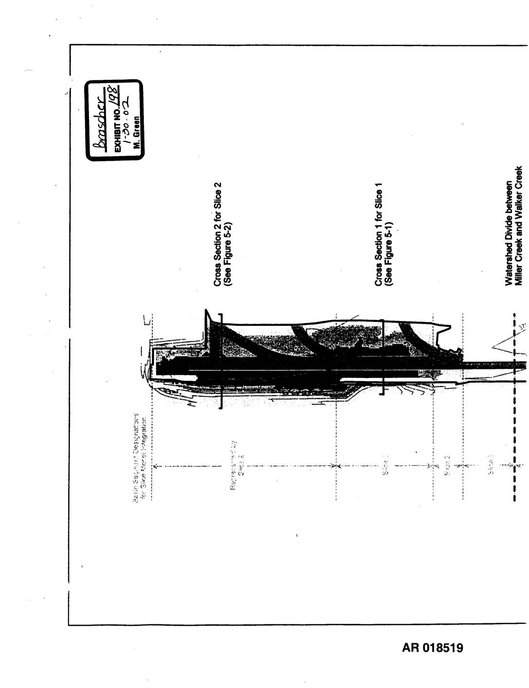
Exhibit 198: Sea-Tac Third Runway Embankment Fill Modeling — Site Features for Hydrus-Slice Modeling (Figure 2-1)
This document presents site features and cross-sectional diagrams used for Hydrus-Slice hydrological modeling of the Sea-Tac Third Runway Embankment Fill project. It shows fill depths ranging from 0 to 160 feet across multiple modeled slices, with cross sections identifying impervious areas, elevation contours, and the watershed divide between Miller Creek and Walker Creek. The figures were produced in November 2001 as part of environmental engineering analysis for the third runway construction. -
 2001-11-07
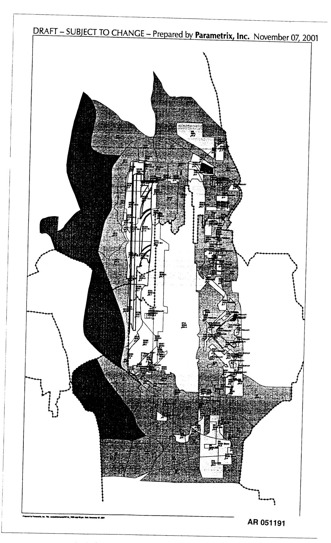
EXH AR051191: Map Prepared by Parametrix, Inc.
Draft map prepared by Parametrix, Inc. on November 07, 2001, AR 051191. The document is a draft aerial/planning map showing what appears to be the Sea-Tac Airport area and surrounding communities, with various zones, boundaries, and site designations marked. Labeled as draft and subject to change. -
 2001-11-07
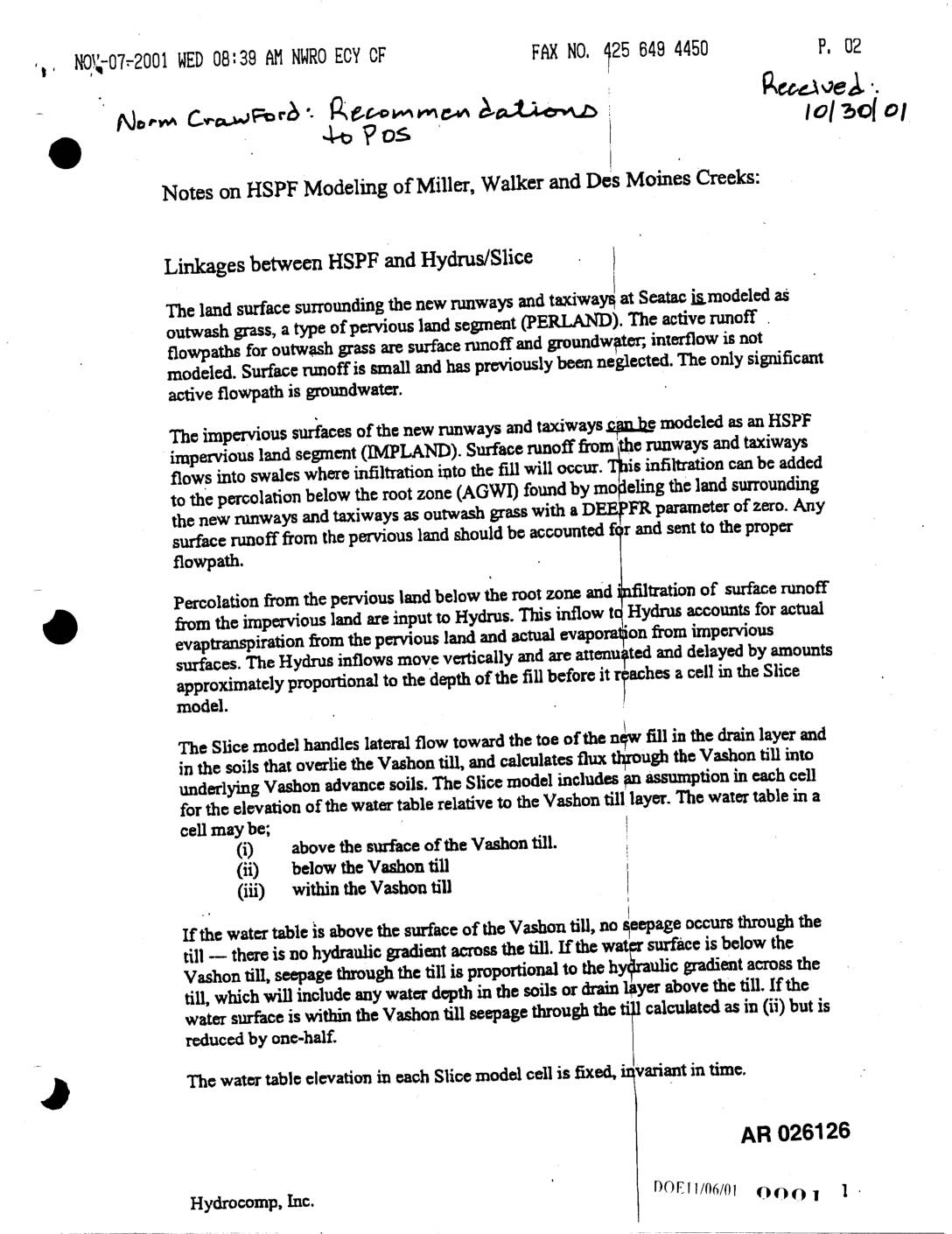
EXH AR026126: HSPF Modeling Notes — Miller, Walker & Des Moines Creeks; HSPF-Hydrus/Slice Linkages
A 2001 technical memo from Hydrocomp, Inc.'s Norm Crawford outlines recommendations for hydrological modeling of Miller, Walker, and Des Moines Creeks near Sea-Tac Airport's new runways and taxiways. The document describes how surface runoff and groundwater flow from both impervious runway surfaces and surrounding pervious grasslands should be calculated and linked across three modeling tools: HSPF, Hydrus, and the Slice model. Key recommendations include properly accounting for infiltration, reducing till seepage by 33% for inactive groundwater recharge, and reconciling discrepancies in land area calculations between the different models. -
 2001-11-01
EXH AR026637: Trickle Down Effect — Zinc Contamination STIA Stormwater Metal Roofing
A study at Seattle-Tacoma International Airport found that galvanized metal roofing on cargo buildings was the primary source of elevated zinc levels in the airport's stormwater runoff, which drains into salmon-bearing streams including Miller Creek and Des Moines Creek. Researchers used whole effluent toxicity (WET) testing and source-tracing methods to identify the problem, focusing on one outfall (SDN1) that consistently showed higher zinc concentrations and toxic effects on aquatic organisms. The findings prompted the Port of Seattle to investigate remediation options as part of its stormwater pollution prevention program under its NPDES permit. -
 2001-11-01
EXH AR029275: Natural Resource Mitigation Plan, Master Plan Update Improvements, Seattle-Tacoma International Airport
Final Natural Resource Mitigation Plan (NRMP) prepared by Parametrix, Inc. for the Port Of Seattle, covering Master Plan Update Improvements at Seattle-Tacoma International Airport (Sea-Tac Airport). Document number 556-2912-001 (03), dated November 2001. Administrative Record document AR 029275–AR 029277. -
 2001-10-26
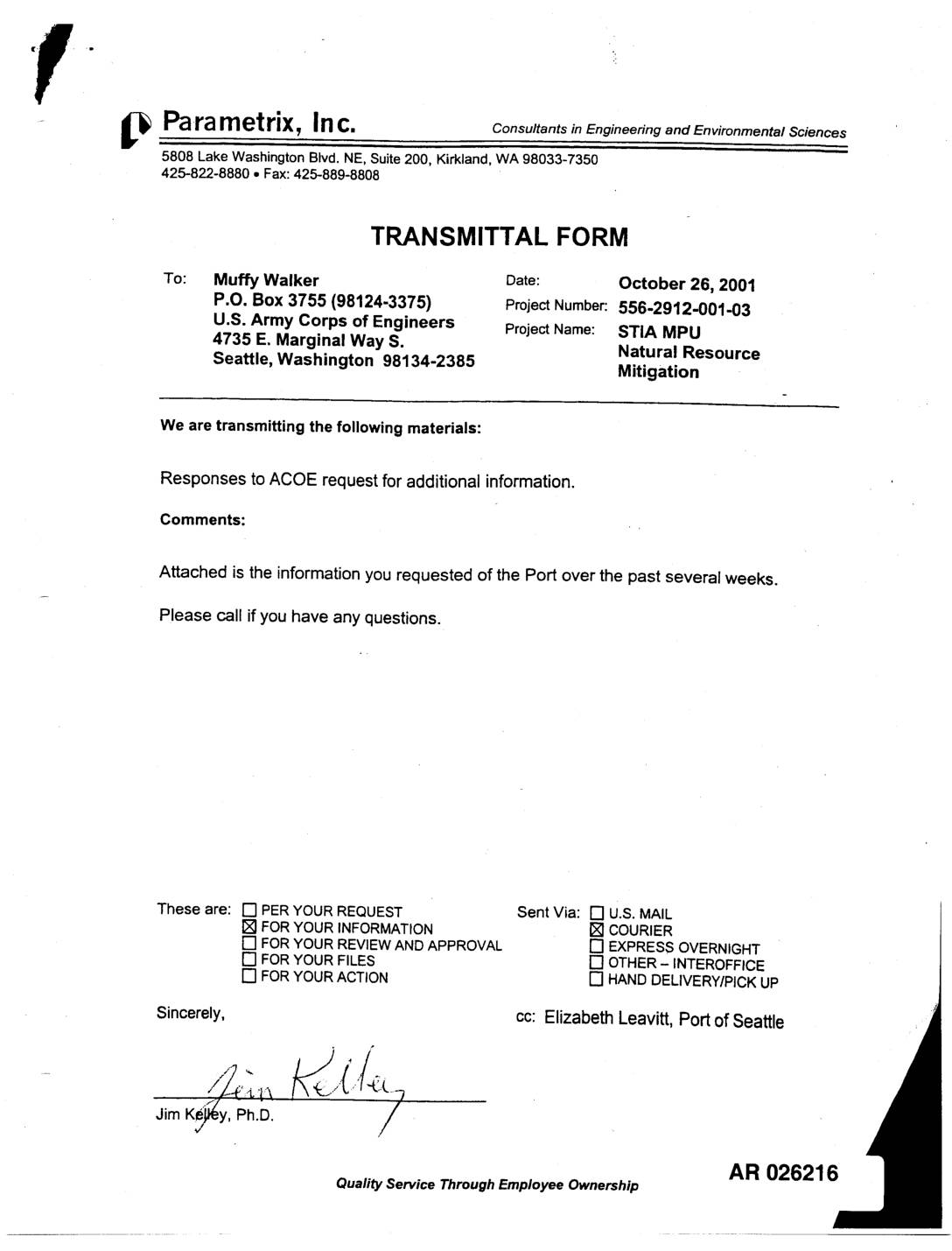
EXH AR026216: Parametrix to US Army Corps Transmittal — STIA MPU Natural Resource Mitigation Responses
A October 26, 2001 transmittal from Parametrix, Inc. to the U.S. Army Corps of Engineers (ACOE) provides responses to the ACOE's request for additional information regarding the Seattle-Tacoma International Airport (STIA) Master Plan Update (MPU) Natural Resource Mitigation project. The package includes maps and aerial photographs identifying wetland areas and acreages within Borrow Area 1, submitted on behalf of the Port of Seattle. -
 2001-10-22
EXH AR052175: Subsurface Conditions Data Report — Haul Route and Borrow Areas 3 and 4, Third Runway Project, Sea-Tac International Airport
Hart Crowser, Inc. subsurface conditions data report prepared for HNTB, project number 4978-52, dated October 22, 2001, covering the haul route and Borrow Areas 3 and 4 for the Third Runway Project at Sea-Tac International Airport, Seatac, Washington. Report by Reese P. Hastings (Senior Associate) and Joe N. Morrice (Senior Staff Hydrogeologist) covers generalized geologic -
 2001-10-08
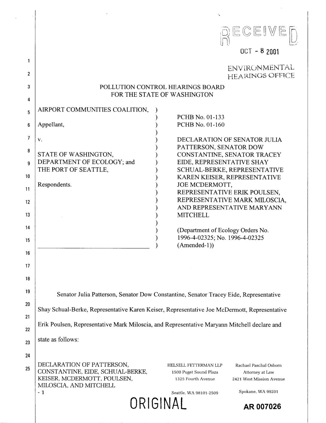
EXH AR007026: Joint Declaration of State Legislators Supporting ACC Stay Request for Sea-Tac Third Runway Section 401 Certification
Joint declaration filed October 8, 2001 in PCHB No. 01-133 and No. 01-160 by nine Washington State legislators — Senator Julia Patterson (33rd District), Senator Dow Constantine (34th District), Senator Tracey Eide (30th District), Representatives Shay Schual-Berke, Karen Keiser, Joe McDermott, Erik Poulsen, Mark Miloscia, and Maryann Mitchell — opposing Port Of Seattle’s claim of -
 2001-10-02
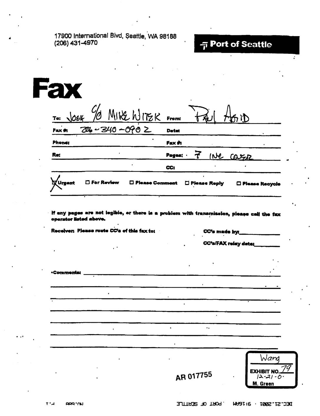
EXH AR017755: Port Of Seattle Fax and Letter to Ecology re STIA Water Quality Certification Condition F.1 — Proposed Construction BMPs
Fax cover sheet and letter dated October 2, 2001 from Port Of Seattle (Elizabeth Leavitt, Manager Aviation Environmental Programs) to Ms. Ann Kenny, Washington Department of Ecology Northwest Regional Office, transmitting two documents in satisfaction of §401 Water Quality Certification Order #1996-4-02325 Condition F.1. Condition F.1 requires proposed construction BMPs to prevent interception of contaminated -
 2001-10-02
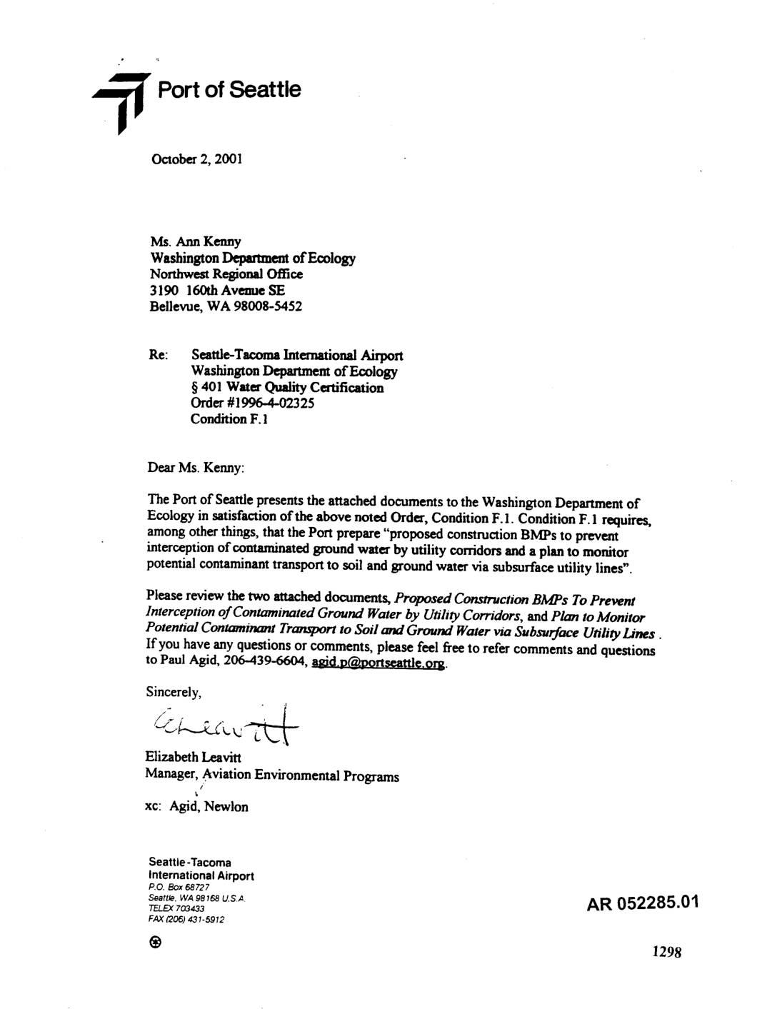
EXH AR052285: Port Of Seattle Letter to Ecology re STIA Construction BMPs for Contaminated Groundwater and Utility Corridors
Letter dated October 2, 2001 from Elizabeth Leavitt, Manager Aviation Environmental Programs, Port Of Seattle, to Ann Kenny at Washington Department of Ecology Northwest Regional Office, submitting two documents in satisfaction of §401 Water Quality Certification Order #1996-4-02325, Condition F.1, for Seattle-Tacoma International Airport (STIA). Attached document: ‘Proposed Construction BMPs To Prevent Interception of Contaminated