Notes
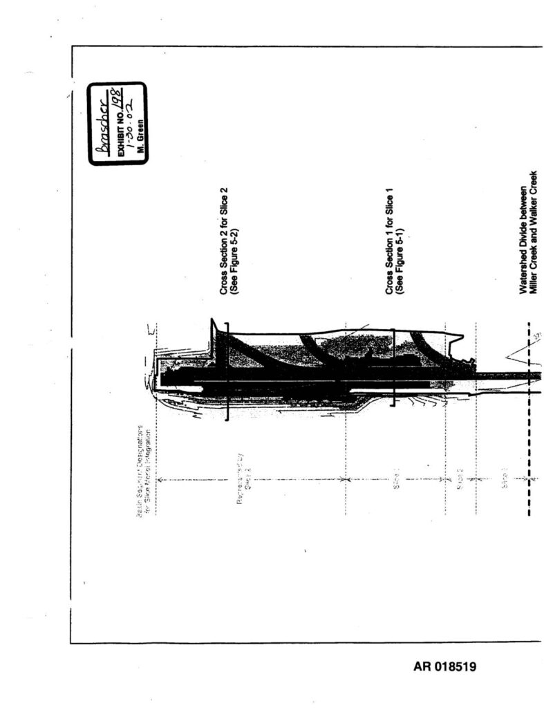
Exhibit 198 (AR 018519–018520), stamped Brascher 1-30-02 M. Green, presents Figure 2-1 from the SeaTac Third Runway Embankment Fill Modeling study showing site features for Hydrus-Slice modeling. The figure displays cross-sectional views (Cross Section 1 for Slice 1/Figure 5-1, Cross Section 2 for Slice 2/Figure 5-2, Cross Section 3 for Slice 3/Figure 5-3) of the third runway fill embankment, with depth-of-fill contours ranging 0–160 feet, impervious area, and basin-segment designations for slice model integration. The watershed divide between Miller Creek and Walker Creek is marked. File path references k:/pony/seatac_II/3rdrunway_depthofill/3rdrunway_010511.apr dated 11/15/01. Filed in PCHB proceedings for Sea-Tac Airport third runway EIS.