TagRCAA(206)
-
 2004-04-08
Declaration of Michael Feldman in opposition to Airport Communities Coalition’s motion for injunctive relief
This 2004 declaration by Michael Feldman, Deputy Managing Director of the Port of Seattle's Aviation Division, was submitted to the Washington State Supreme Court in opposition to a motion for injunctive relief filed by the Airport Communities Coalition. Feldman, who oversaw technical, environmental, and regulatory compliance at Seattle-Tacoma International Airport (Sea-Tac), describes the airport's Master Plan — adopted in 1996 — which includes the addition of a third runway and other facility expansions to address growing regional air travel demand. The declaration provides context for the decade-long planning and environmental review process behind Sea-Tac's expansion efforts. -
 2004-04-08
Port Of Seattle’s answer to Airport Communities Coalition’s emergency motion for injunctive relief pursuant to RAP 8.3
The Port of Seattle filed this legal response opposing an emergency request to halt construction of a Third Runway at Sea-Tac Airport. The case centers on a water quality certification issued by Washington's Department of Ecology, which set environmental conditions the Port must meet under the federal Clean Water Act. After years of hearings and appeals — including reviews by the Pollution Control Hearings Board and a federal district court — the Port argued that construction should be allowed to continue as planned. -
 2004-03-25
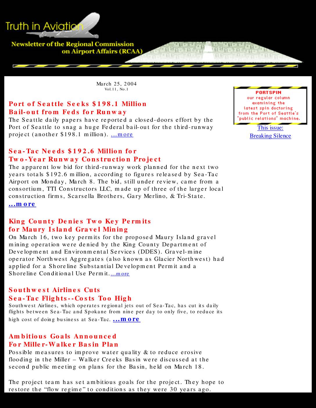
Truth in Aviation newsletter, Vol. 11, No. 1
This March 2004 newsletter from the Regional Commission on Airport Affairs (RCAA) covers several key developments around Sea-Tac Airport, including the Port of Seattle's closed-door attempt to secure a $198.1 million federal bailout for its third-runway project and a $192.6 million construction bid from a local contractor consortium. The newsletter also reports on Southwest Airlines cutting Sea-Tac to Spokane flights due to high operating costs, King County denying two permits for a Maury Island gravel mining operation, and an upcoming public hearing on Boeing Field's Master Plan environmental impact statement. -
 2004-03-19
Declaration of Peter J. Eglick in support of respondent/cross-petitioner Airport Communities Coalition’s emergency motion for injunctive relief pursuant to RAP 8.3
This 2004 legal declaration, filed before the Washington Supreme Court, supports the Airport Communities Coalition's emergency request to halt construction at Seattle-Tacoma International Airport's Third Runway. Attorney Peter J. Eglick argues that the Port of Seattle's approved Work Plan for embankment construction and wetlands filling would cause irreparable environmental harm and violate a Pollution Control Hearings Board order. The filing includes exhibits documenting concerns about contaminated fill materials and requests that the Department of Ecology intervene to stop construction while the case remained under court review. -
 2004-03-18
Miller and Walker Creek Basin Plan public meeting
A public meeting for the Miller and Walker Creek Basin Plan was held on March 18, 2004, at the Criminal Justice Training Center in Burien, Washington, running from 6:30 to 8:30 PM. The meeting included a presentation and a question-and-answer session, covering stormwater and drainage planning for the Miller and Walker Creek watersheds near Sea-Tac Airport. The project was managed by a multi-agency team representing the City of Burien, City of Normandy Park, City of SeaTac, King County, Port of Seattle, and WSDOT. -
 2004-03-16
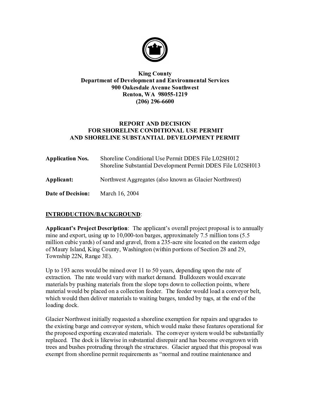
Report and decision for shoreline conditional use permit and shoreline substantial development permit
This 2004 King County decision concerns a permit application by Glacier Northwest (Northwest Aggregates) to mine and export sand and gravel from Maury Island and replace an aging barge-loading dock on Puget Sound. The project proposed replacing 228 old creosote timber piles with 62–82 steel piles, extending the dock further into the water to protect nearby eelgrass beds, and enclosing the conveyor in a steel pipe to reduce spillage and noise. Note: this document relates to a Maury Island mining and shoreline development project and does not contain information about Sea-Tac Airport noise policy. -
 2004-03-15
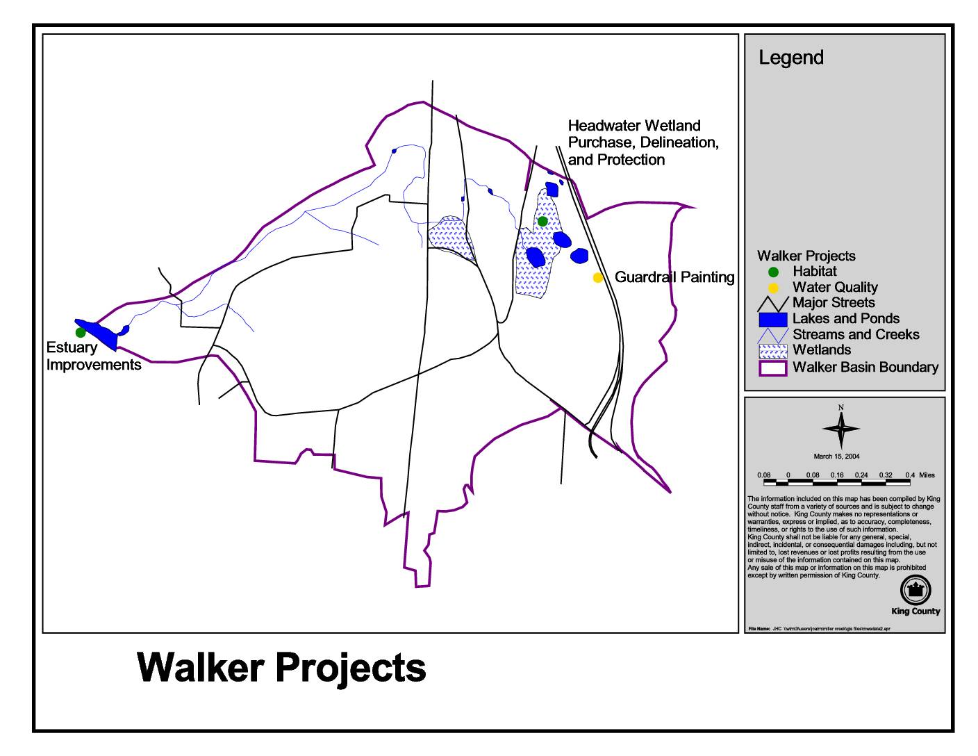
Walker projects
This King County map, dated March 15, 2004, identifies Walker Basin environmental projects including Estuary Improvements, Headwater Wetland Purchase and Protection, and Guardrail Painting. The map highlights key natural features such as lakes, ponds, streams, creeks, and wetlands within the Walker Basin boundary. Projects are categorized by type, including habitat and water quality initiatives, and are plotted against major streets and waterways in the area. -
 2004-03-15
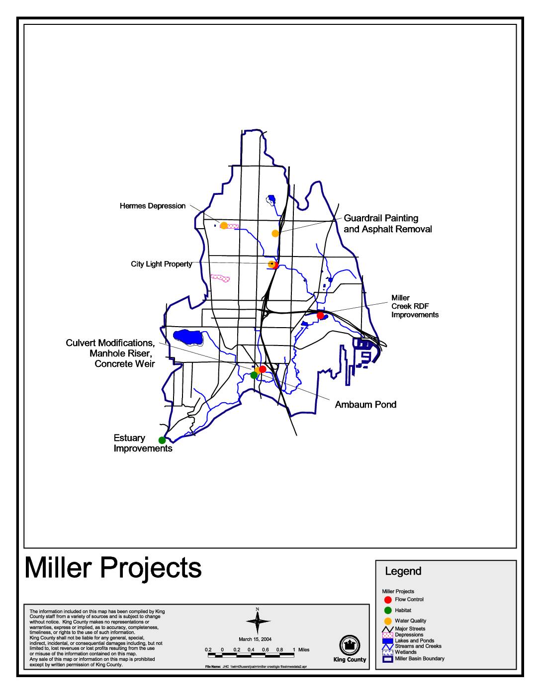
Miller Projects map
This King County map document, dated March 15, 2004, identifies and locates various Miller Creek basin improvement projects in the Seattle area, including flow control, habitat, and water quality initiatives. Featured projects include Estuary Improvements, Ambaum Pond, Miller Creek RDF Improvements, Culvert Modifications, Guardrail Painting and Asphalt Removal, and work at the City Light Property and Hermes Depression sites. The map serves as a visual reference for environmental and stormwater management efforts within the Miller Basin boundary. -
 2004-03-11
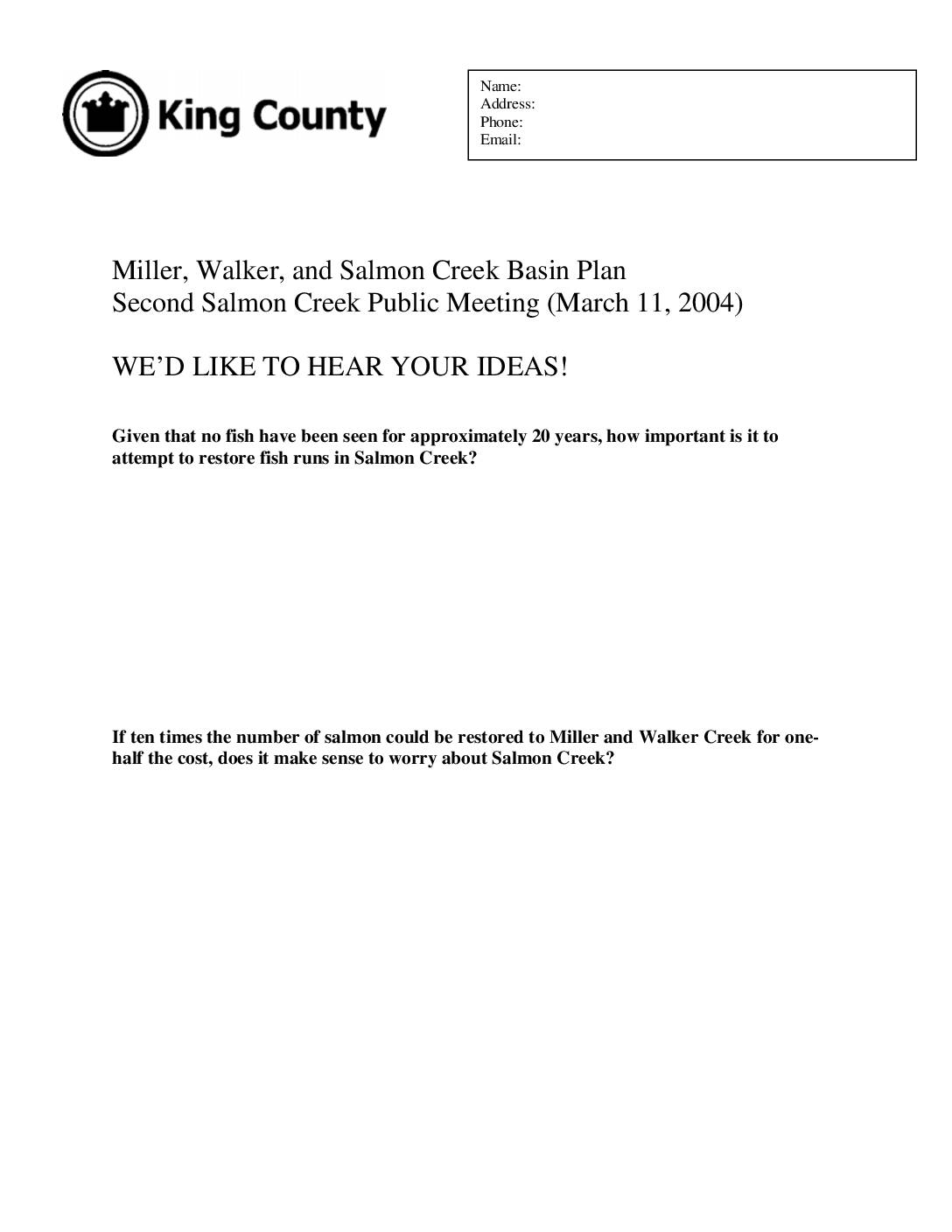
Miller, Walker, and Salmon Creek Basin Plan second public meeting comment request form
This is a public comment form from a March 11, 2004 King County meeting about the Miller, Walker, and Salmon Creek Basin Plan, asking residents for input on salmon restoration efforts and environmental priorities. The form poses questions about whether it is worthwhile to restore fish runs in Salmon Creek given no fish have been seen for roughly 20 years, and how to prioritize restoration of Lake Hicks and related projects. It also asks residents how much they would be willing to contribute through increased taxes and fees to fund these efforts. -
 2004-03-09
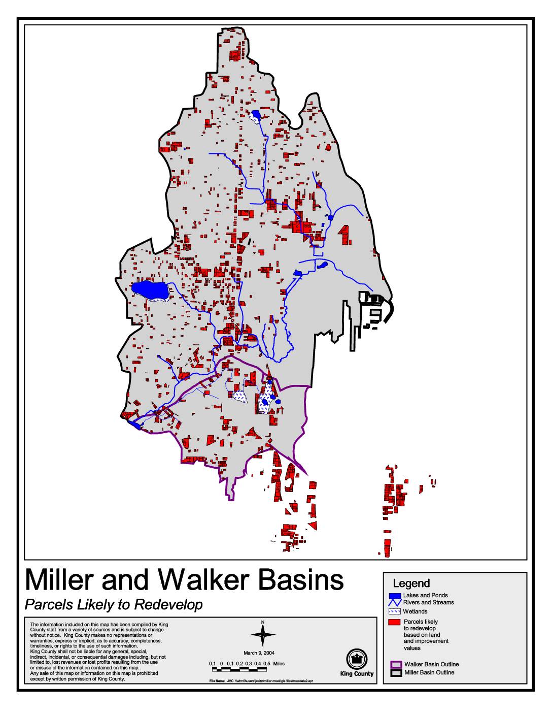
Miller and Walker Basins: Parcels likely to redevelop
This King County map, dated March 9, 2004, identifies parcels within the Miller and Walker Basins that are likely to redevelop based on land and improvement values. It highlights features such as lakes, ponds, rivers, streams, and wetlands alongside redevelopment-candidate parcels marked in red. The map was produced by King County staff using data from multiple sources and is intended to support land use planning in these two drainage basins.