TagPort Of Seattle(2342)
-
 2026-06-08
Part 150 Study Technical Review Committee Meeting #6
Presentation slides for the sixth meeting of the Part 150 Study Technical Review Committee (TRC) for Seattle-Tacoma International Airport, held June 8, 2026. The meeting covered potential Noise Compatibility Program (NCP) measures including noise abatement, land use, and program management. The agenda also included a review of the previous meeting summary, project schedule, and future -
 2026-06-08
Noise Exposure Map Report: 14 CFR Part 150 Study
The Port of Seattle submitted this Noise Exposure Map (NEM) Report to the Federal Aviation Administration under 14 CFR Part 150, documenting aircraft noise levels around Seattle-Tacoma International Airport for 2022 (existing conditions) and 2032 (projected future conditions). The report was prepared by Environmental Science Associates and certified by the Port's Director of Aviation Environment and Sustainability on June 26, 2026, confirming that current airport operations remain consistent with the 2022 data. It includes documentation of public and agency consultation, noise contour maps showing areas exposed to DNL 65+ decibel levels, and supporting forecasts of aircraft activity through 2032. -
2026-06-08
Noise Exposure Map Report: 14 CFR Part 150 Study
The Port of Seattle submitted this Noise Exposure Map (NEM) Report to the Federal Aviation Administration under 14 CFR Part 150, documenting aircraft noise levels around Seattle-Tacoma International Airport for 2022 (existing conditions) and 2032 (projected future conditions). The report was prepared by Environmental Science Associates and certified by the Port's Director of Aviation Environment and Sustainability on June 26, 2026, confirming that current airport operations remain consistent with the 2022 data. It includes documentation of public and agency consultation, noise contour maps showing areas exposed to DNL 65+ decibel levels, and supporting forecasts of aircraft activity through 2032. -
 2026-06-04
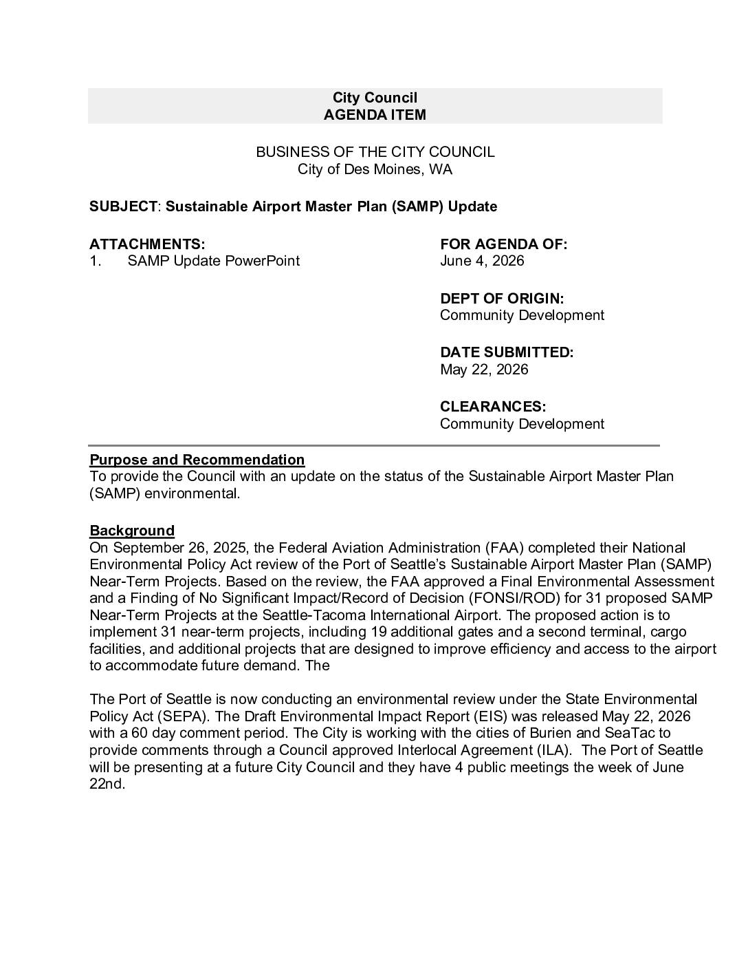
Des Moines City Council – SAMP Update
Purpose and Recommendation To provide the Council with an update on the status of the Sustainable Airport Master Plan (SAMP) environmental review. Background Federal Aviation Administration (FAA) Approval On September 26, 2025, the FAA completed their National Environmental Policy Act review and approved a Final Environmental Assessment and Finding of No Significant Impact/Record of Decision -
 2026-06-04
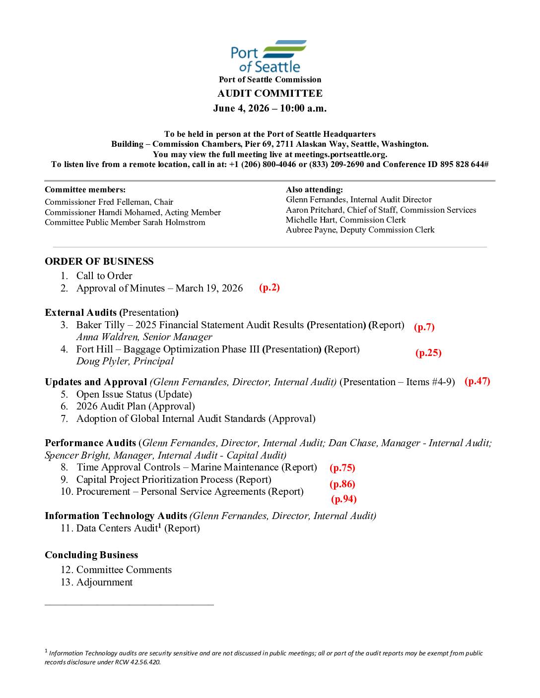
Port of Seattle Commission Audit Committee
Call to Order Approval of Minutes March 19, 2026 External Audits Baker Tilly – 2025 Financial Statement Audit Results Presentation and Report Anna Waldren, Senior Manager Fort Hill – Baggage Optimization Phase III Presentation and Report Doug Plyler, Principal Updates and Approval Glenn Fernandes, Director, Internal Audit Open Issue Status Update 2026 Audit Plan Approval -
2026-06-04
Des Moines City Council (SAMP) update
The City of Des Moines, WA provided its City Council with an update on the Sustainable Airport Master Plan (SAMP) for Seattle-Tacoma International Airport, following the FAA's September 2025 approval of 31 near-term expansion projects — including 19 new gates, a second terminal, and cargo facilities. The Port of Seattle launched a state-level environmental review (SEPA) in May 2026, releasing a Draft Environmental Impact Statement with a 60-day public comment period. Des Moines is collaborating with the cities of Burien and SeaTac through an Interlocal Agreement to submit coordinated comments, with the final report expected in 2027. -
 2026-06-04
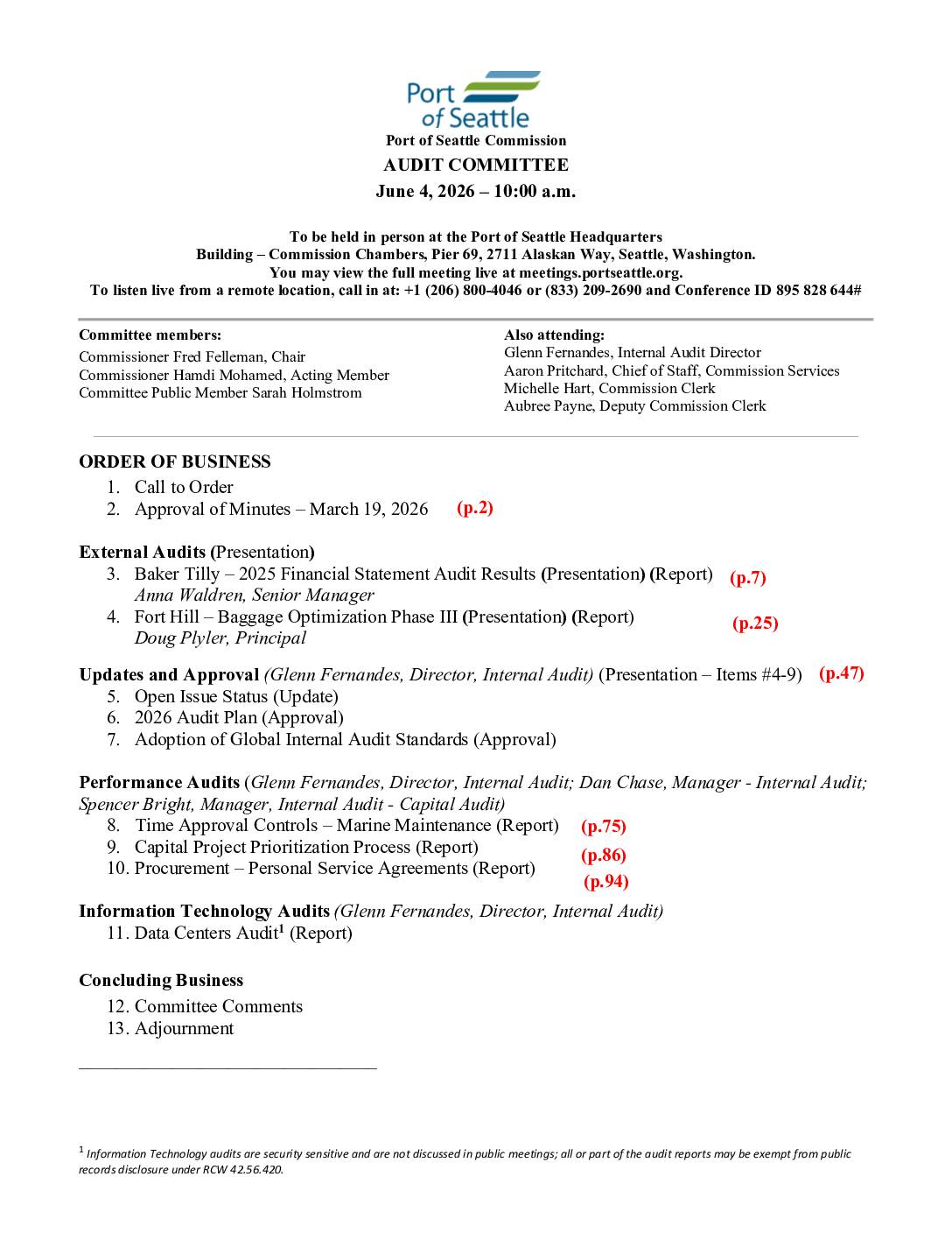
Port Of Seattle Commission June 4, 2026 audit committee meeting agenda
These are the agenda and approved minutes for the Port of Seattle Commission Audit Committee meetings held on June 4, 2026, and March 19, 2026, covering internal and external audit reviews of Port financial and operational matters. Topics include the 2025 financial statement audit, baggage optimization, marine maintenance controls, capital project prioritization, and procurement agreements. This document does not address Sea-Tac Airport noise policy. -
 2026-05-27
Highline Forum future ready overview
Overview presentation for Highline Forum’s Future Ready initiative, outlining Highline Public Schools’ promise that every student is known by name, strength and need, and graduates prepared for the future they choose. Presents four key pillars: Culture of Belonging, Innovative Learning, Bilingual & Biliterate, and Future Ready. -
 2026-05-27
Highline Forum Burien Presentation May 27, 2026
A presentation about Burien for the Highline Forum on May 27, 2026. Describes Burien as a vibrant and creative community incorporated in 1993, with 52,000 residents across 11 square miles, highlighting its diversity, arts and culture focus, and environmental values. -
 2026-05-26
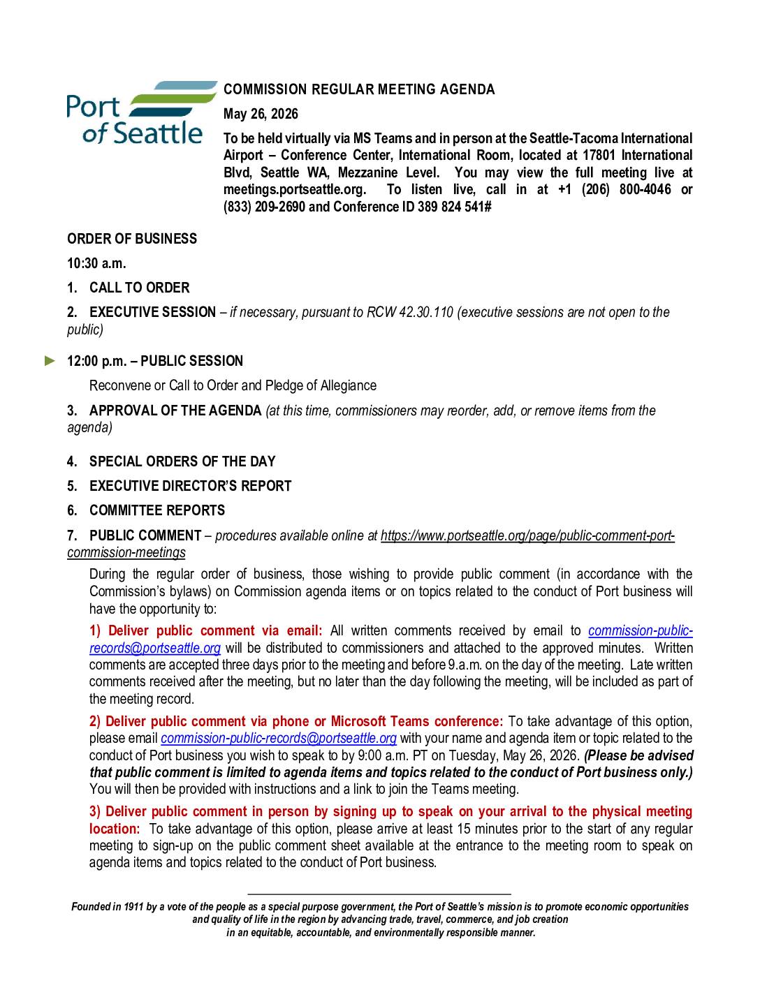
Port of Seattle Commission Regular Meeting May 26, 2026 (SAMP/SEPA intro)
Item 11b is the SAMP/SEPA EIS introduction and presentation