TagPort Of Seattle(2342)
-
 2026-06-28
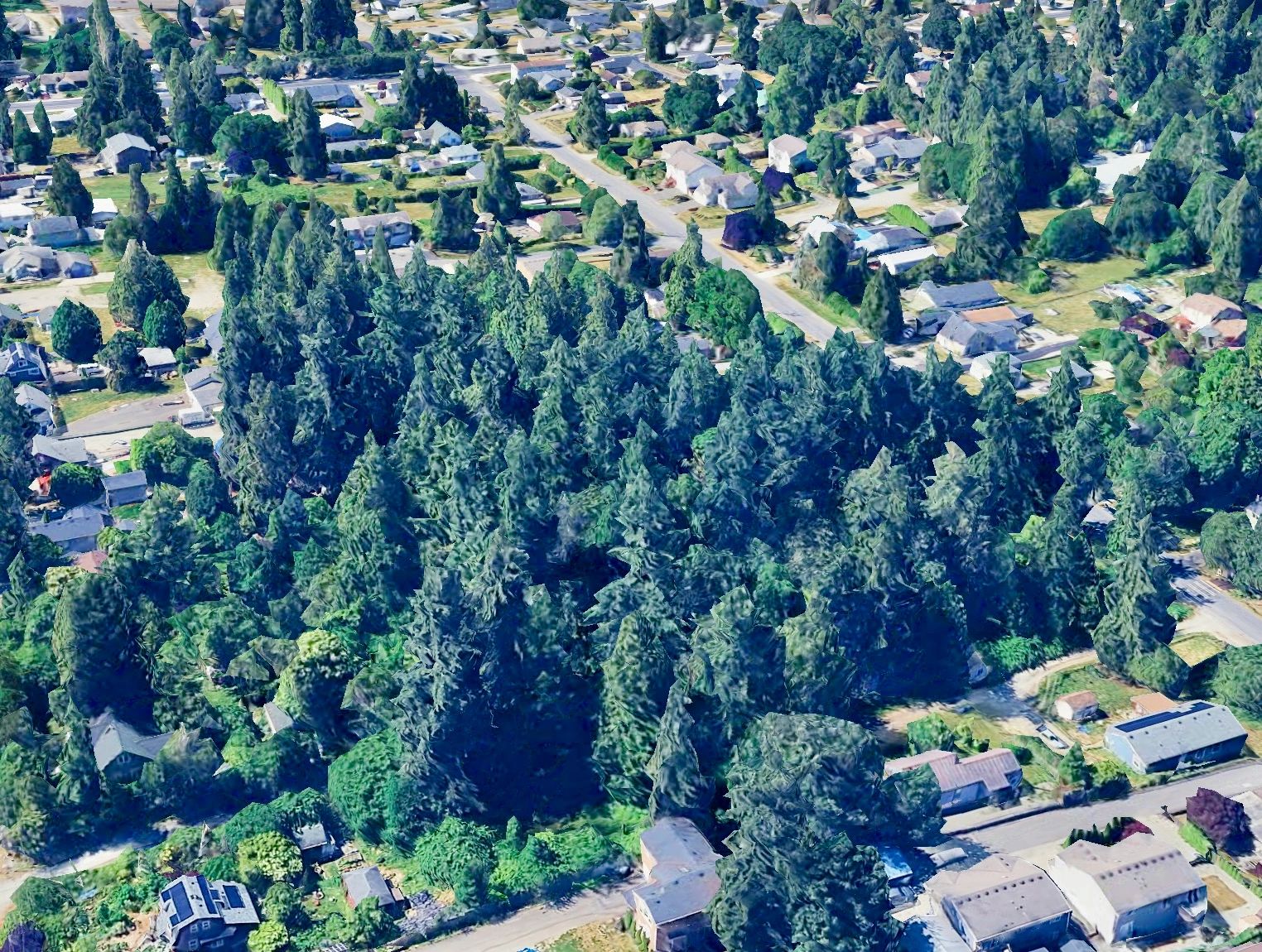
Cedarhurst Neighborhood: Opposing Industrial Rezoning in Burien
Building Community support with Neighbors Building Community support with Neighbors Building Community support with Neighbors What is this all about anyway? Coming together to help our neighborhood Our platform aims to foster a strong community identity, which celebrates the unique and charming aspects of our Cedarhurst Neighborhood. We are nestled within the larger -
 2026-06-21
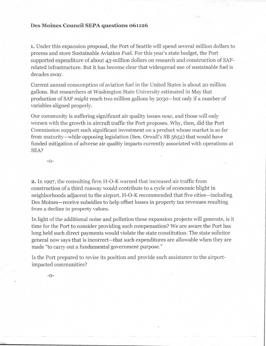
Des Moines Council SEPA questions 061126
The Des Moines City Council submitted a series of formal questions challenging the Port of Seattle's environmental review of its airport expansion plan, raising concerns about air quality, noise impacts, and community compensation. Key issues include the Port's heavy investment in Sustainable Aviation Fuel despite its limited near-term viability, the use of outdated federal noise standards, failed home noise-mitigation packages with no funding to repair them, and whether the SEPA review adequately analyzed hazardous air pollutants and peak traffic impacts. The Council also questioned whether the Port should provide direct financial assistance to affected neighboring cities, citing a state solicitor general opinion that such payments may be legally permissible. -
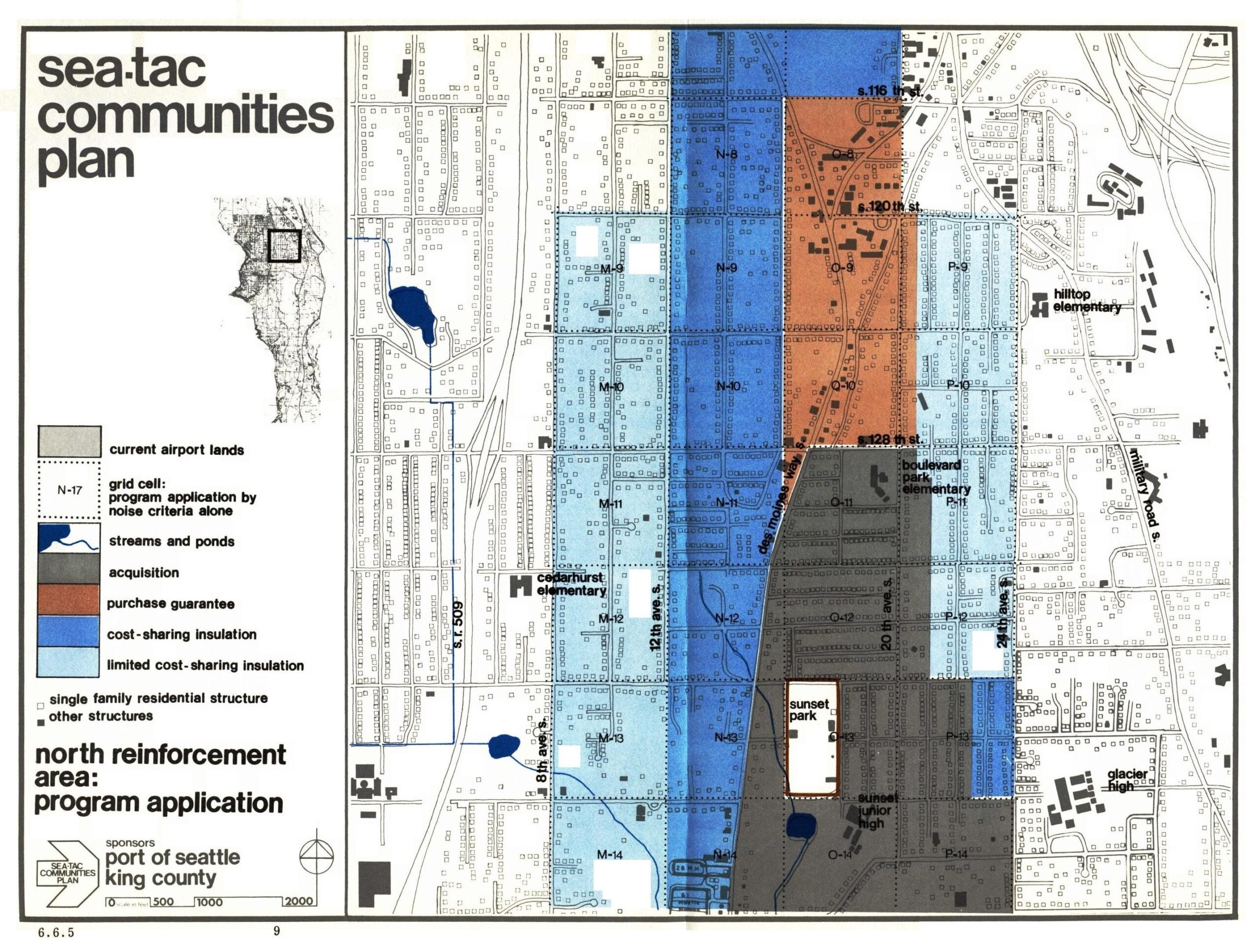
Sea-Tac Communities Plan: North Reinforcement Area Program Application
This planning map, document number 6.6.5, is from the Sea-Tac Communities Plan sponsored by the Port of Seattle and King County. It depicts the North Reinforcement Area program application, showing grid-cell zones color-coded by noise mitigation category—including acquisition, purchase guarantee, cost-sharing insulation, and limited cost-sharing insulation—for the residential area surrounding Seattle-Tacoma International Airport, with landmarks such as Cedarhurst Elementary, Boulevard Park Elementary, Hilltop Elementary, Glacier High, and Sunset Junior High visible. -
 2026-06-11
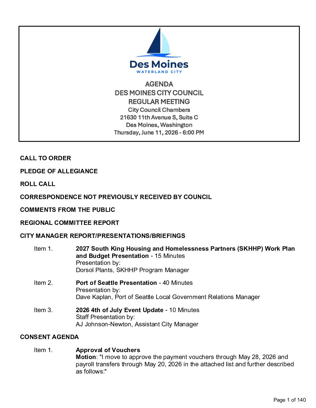
Des Moines City Council Regular Meeting
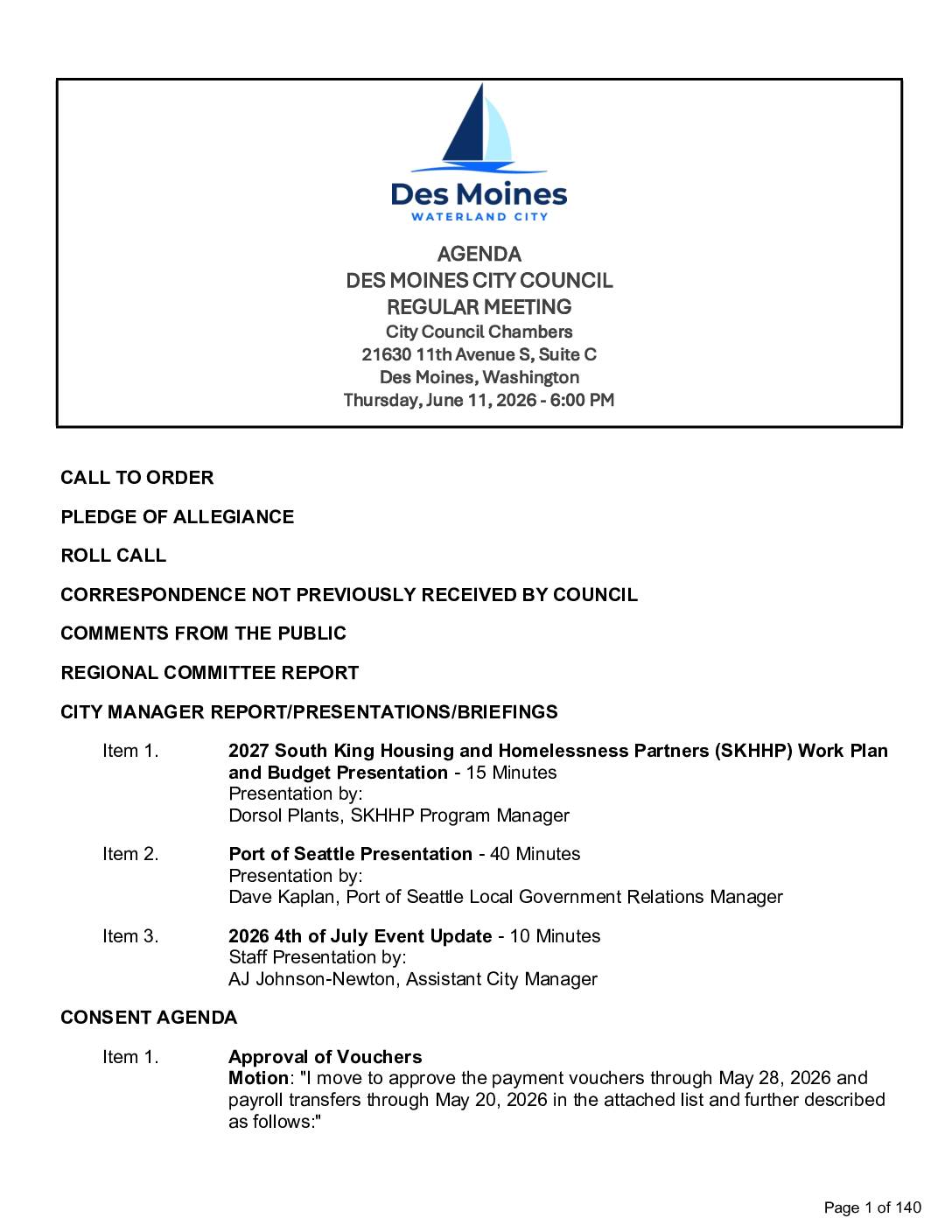
Call to Order Pledge of Allegiance Roll Call Correspondence Not Previously Received by Council Comments from the Public Regional Committee Report City Manager Report/Presentations/Briefings Item 1. 2027 South King Housing and Homelessness Partners (SKHHP) Work Plan and Budget Presentation – 15 Minutes Presentation by: Dorsol Plants, SKHHP Program Manager Item 2. Port of Seattle Presentation -
2026-06-11
Des Moines City Council Regular Meeting June 11, 2026
Call to Order Pledge of Allegiance Roll Call Correspondence and Public Comments Correspondence Not Previously Received by Council Comments from the Public Regional Committee Report City Manager Report/Presentations/Briefings 2027 South King Housing and Homelessness Partners (SKHHP) Work Plan and Budget Presentation – 15 Minutes Presentation by: Dorsol Plants, SKHHP Program Manager Port of Seattle Presentation -
 2026-06-11
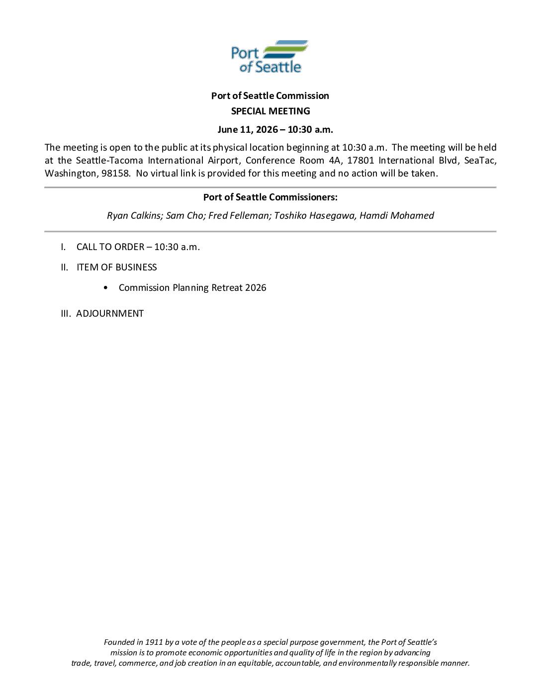
Port of Seattle Commission Special Meeting Planning 2026
I. CALL TO ORDER 10:30 a.m. II. ITEM OF BUSINESS Commission Planning Retreat 2026 III. ADJOURNMENT Document Link -
2026-06-11
Port Of Seattle commission special meeting agenda – commission planning retreat 2026
The Port of Seattle Commission held a special public meeting on June 11, 2026, at 10:30 a.m. in Conference Room 4A at Seattle-Tacoma International Airport. The sole agenda item was a Commission Planning Retreat for 2026, with no formal actions taken and no virtual attendance option provided. -
 2026-06-11
Des Moines City Council June 11, regular meeting
The Des Moines, Washington City Council held a regular meeting on June 11, 2026, featuring a Port of Seattle presentation by Local Government Relations Manager Dave Kaplan, which is relevant to ongoing discussions about Sea-Tac Airport's impact on the surrounding community. The agenda also included routine city business such as budget approvals, proclamations, and infrastructure matters, alongside a review of the city's strategic priorities plan titled 'Charting Our Course.' Members of the public were able to participate in person or via Zoom by registering with the city clerk in advance. -
 2026-06-09
Port of Seattle Regular Commission Meeting June 9, 2026
10a. Introduction of Resolution Nos. 3849 and 3850: Issuance and Sale of Intermediate Lien Revenue Refunding Bonds (Not-to-Exceed $250,000,000) and Issuance and Sale of First Lien Revenue Refunding Bonds (Not-to-Exceed $70,000,000) 11b. SEA Stakeholder Advisory Round Table (StART) Annual Report 11c. 2026 State Legislative Session Review -
 2026-06-09
Port Of Seattle regular commission meeting
This document is the agenda for the Port of Seattle Regular Commission Meeting held on June 9, 2026, covering routine administrative and operational matters such as contract approvals, a new collective bargaining agreement for police commanders, and infrastructure projects at Seattle-Tacoma International Airport. Items include authorizations for sewer maintenance contracts, construction safety services, and a Variable Frequency Drives Replacement project at Sea-Tac. No noise policy or noise-related agenda items are addressed in this meeting's agenda.