TagFAA(687)
-
 2020-03-19
Dave Upthegrove Letter to FAA re. SAMP EIS
In a March 2020 letter to the FAA Administrator, King County Councilmember Dave Upthegrove urges the FAA to conduct a full Environmental Impact Statement (EIS) covering both short- and long-term projects for Seattle-Tacoma International Airport's expansion, rather than splitting the review into separate studies. Upthegrove argues that a piecemeal approach risks undermining the integrity of the environmental analysis, particularly given the airport's significant noise and air pollution impacts on surrounding communities. He calls for the comprehensive EIS to include mitigation strategies addressing all projects outlined in the Port of Seattle's Sustainable Airport Master Plan (SAMP). -
 2020-03-17
Burien Airport Committee revised agenda and February 26, 2020 draft minutes
The Burien Airport Committee had a meeting scheduled for March 17, 2020 that was canceled due to the COVID-19 pandemic. Key topics on the agenda included a follow-up phone call with the city's FAA lawsuit attorney Matt Adams, an update on a Washington D.C. legislative visit, and discussion of the Port of Seattle's response to community concerns about airport impacts. Draft minutes from the February 26, 2020 meeting document earlier discussions about challenging FAA flight path decisions over Burien and addressing cumulative noise and growth impacts on surrounding communities through the Seattle-Tacoma Airport's Sustainable Airport Master Plan (SAMP) Environmental Impact Statement process. -
 2020-03-12
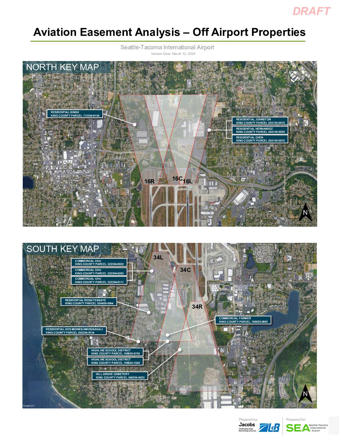
Aviation Easement Analysis – Off Airport Properties: Seattle-Tacoma International Airport (Highline School District Parcels 768620-0705 and 768620-1040)
This draft report, prepared by Jacobs and ZLB for Seattle-Tacoma International Airport in March 2020, analyzes aviation easements for off-airport properties located near the airport's runways. It focuses on two Highline School District parcels (King County Parcels 768620-0705 and 768620-1040), documenting the removal of 26 trees that previously penetrated federally defined airspace protection surfaces, including approach, departure, and transitional surfaces. The analysis confirms that all identified obstacles have been removed as part of a construction package, and provides detailed elevation and coordinate data for parcel boundary points relative to runway thresholds. -
 2020-03-10
FAA response to Burien City Council regarding SAMP environmental analysis
In a March 10, 2020 letter to Burien Mayor Jimmy Matta, FAA Regional Administrator David C. Suomi explained that an Environmental Assessment (EA) — not a full Environmental Impact Statement — is the appropriate level of review for Sea-Tac Airport's Near Term Projects (NTP), which are designed to meet projected demand through 2027. The EA will evaluate all resource categories and cumulative impacts from past, present, and foreseeable projects on and near the airport. The FAA noted that preparing an EA does not rule out a future Environmental Impact Statement if significant impacts are identified. -
Aviation Noise & Emissions Symposium 2020
The 2020 UC Davis Aviation Noise and Emissions Symposium will focus on defining the challenges that face the noise and emissions industry over the next few years and discussing real-world solutions. Symposium Presenters will share ground-breaking efforts being undertaken by elected officials, airports, consultants, communities, and the FAA to mitigate noise and environmental impacts of -
 2020-02-28
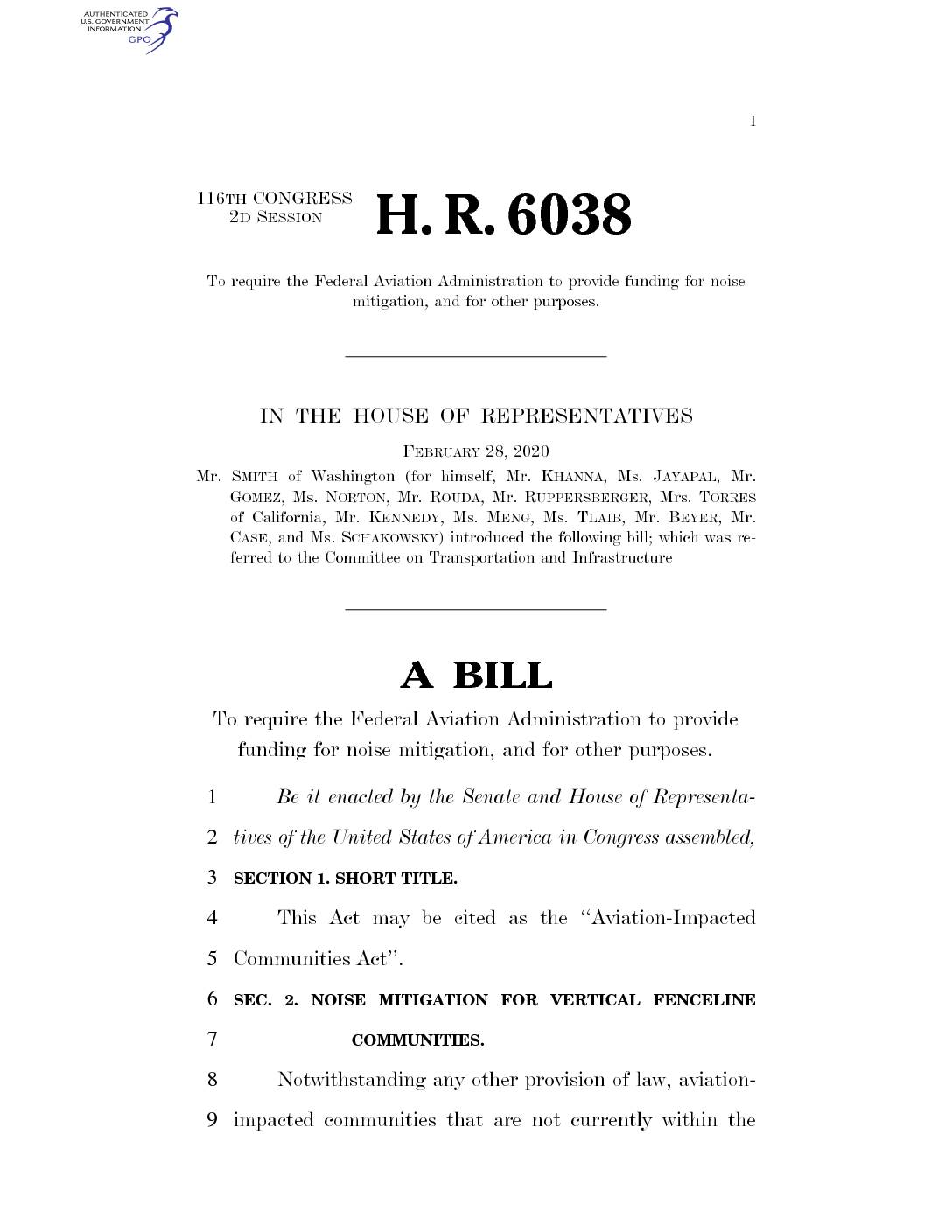
H.R. 6038 – Aviation-Impacted Communities Act
An earlier version of this bill was introduced into the 115th Congress as HR6168 -
 2020-02-26
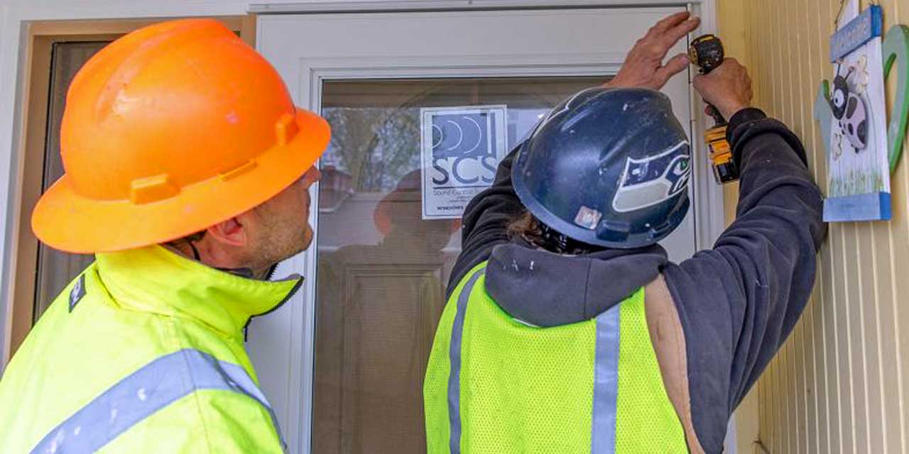
Port Commission approves acceleration of noise insulation efforts for airport communities – The Waterland Blog
The Port of Seattle Commission this week approved the acceleration of sound insulation projects for homes, apartments, condominiums and places of worship in airport communities to be completed in less than half its current schedule. The faster noise reduction benefits near Seattle-Tacoma International Airport will cover projects originally not expected to be complete for another -
 2020-02-25
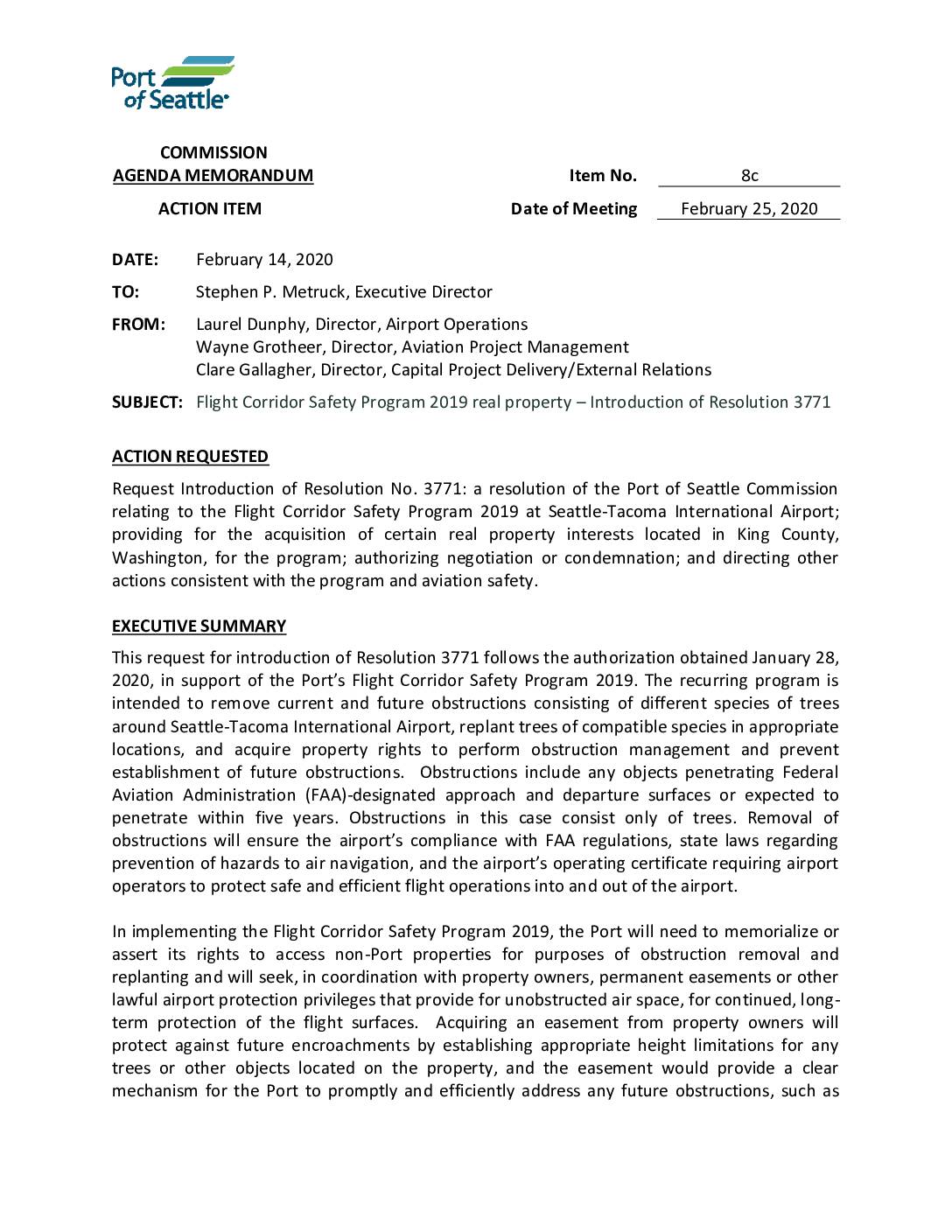
Flight Corridor Safety Program 2019 real property – Introduction of Resolution 3771
The Port of Seattle Commission is introducing Resolution 3771 to support the Flight Corridor Safety Program 2019, which involves removing trees near Seattle-Tacoma International Airport that obstruct FAA-designated flight approach and departure paths. The program seeks to acquire permanent easements on private properties to prevent future obstructions and ensure ongoing compliance with FAA regulations and the airport's operating certificate. If voluntary negotiations with property owners fail, the Port is authorized to pursue condemnation as a last resort to secure the necessary property rights. -
 2020-02-21
Advisory circular: Hazardous wildlife attractants on or near airports
This FAA Advisory Circular (AC 150/5200-33C), issued February 21, 2020, provides guidance on land uses and development projects near public-use airports that may attract hazardous wildlife such as birds, mammals, and reptiles, which pose serious safety and economic risks to aircraft. It outlines recommended practices for airport operators, land-use planners, and federally funded airport projects to assess and mitigate wildlife hazards, though compliance is voluntary except for airports holding operating certificates under 14 CFR Part 139 or receiving federal grant funding. The document updates and replaces the previous 2007 version of the same circular. -
HR 5874 – Decrease Noise Levels Act
116th CONGRESS 2d Session H. R. 5874 To require the Administrator of the Federal Aviation Administration to amend regulations concerning the day-night average sound level, and for other purposes. IN THE HOUSE OF REPRESENTATIVES February 12, 2020 Ms. Meng (for herself, Mr. Smith of Washington, Mr. Espaillat, Ms. Brownley of California, Mr. Beyer, Mr.