TagThird Runway(1084)
-
 2002-02-26
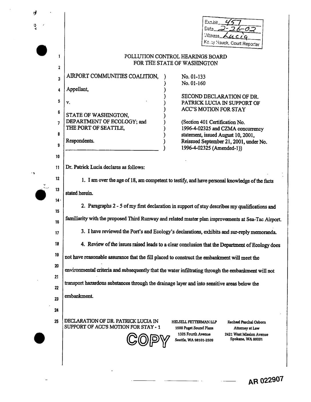
EXH 457: Second Declaration Dr. Patrick Lucia Supporting ACC Motion for Stay (PCHB Nos. 01-133, 01-160)
This legal declaration by Dr. Patrick Lucia, filed in a Washington State Pollution Control Hearings Board case, argues that the Department of Ecology lacks reasonable assurance that fill material used to construct the Sea-Tac Airport Third Runway embankment meets environmental safety standards. Dr. Lucia contends that the certification allows soil concentrations of arsenic and other metals — including cadmium, chromium, lead, mercury, and nickel — that significantly exceed Puget Sound natural background levels. He also criticizes the Port of Seattle's soil sampling approach as arbitrary and unscientific, asserting it fails to meet accepted environmental engineering standards for contaminant testing. -
 2002-02-22
EXH AR014595: Pre-Filed Testimony of William A. Rozeboom on Behalf of ACC, PCHB No. 01-160
Pre-filed testimony of William A. Rozeboom, professional civil engineer with Northwest Hydraulic Consultants, submitted on behalf of Airport Communities Coalition (ACC) in PCHB No. 01-160, ACC & CASE v. Dept. of Ecology & Port Of Seattle, February 22, 2002. Rozeboom testifies regarding stormwater facilities, streamflow impacts, drainage plans, post-construction monitoring, and stormwater management plans related -
 2002-02-22
PCHB No. 01-160: ACC Pre-Filed Testimony of Dr. Peter Willing and Greg Wingard, Binder 4 of 4
Pre-filed testimony of Dr. Peter Willing and Greg Wingard submitted on behalf of appellant Airport Communities Coalition (ACC) in PCHB No. 01-160, ACC & CASE v. Dept. of Ecology & Port of Seattle, filed February 22, 2002 with the Environmental Hearings Office. Binder 4 of 4 in a four-binder set. The full index (Binder 1) -
 2002-02-22
PCHB 01-160: ACC Pre-Filed Testimony of Amanda Azous and Dr. Edward Kavazanjian — Binder 1 of 4 Index
Pre-filed testimony submitted to the Environmental Hearings Office (Pollution Control Hearings Board, PCHB No. 01-160) on behalf of appellant Airport Communities Coalition (ACC) in ACC & CASE v. Dept. of Ecology & Port of Seattle. Testimony by Amanda Azous (wetlands) and Dr. Edward Kavazanjian (geotechnical), filed February 22, 2002. Binder 1 of 4 index lists -
 2002-02-22
EXH AR014137: Pre-Filed Testimony of Edward Kavazanjian, Jr. on Behalf of ACC — PCHB No. 01-160
Pre-filed testimony of Edward Kavazanjian, Jr., Ph.D., P.E. (GeoSyntec Consultants), submitted on behalf of Airport Communities Coalition (ACC) in PCHB No. 01-160, ACC & CASE v. Dept. of Ecology & Port of Seattle. Supports ACC appeal of Section 401 Certification No. 1996-4-02325 and CZMA concurrency statement issued August 10, 2001, related to construction of a -
 2002-02-22
PCHB Doc 01-160: Pre-Filed Testimony of Dr. Malcolm Leytham, Thomas Luster, and Sally Nelson on Behalf of ACC
Pre-filed testimony submitted to the Environmental Hearings Office on behalf of appellant Airport Communities Coalition (ACC) by Dr. Malcolm Leytham, Thomas Luster, and Sally Nelson in PCHB No. 01-160, ACC & CASE v. Dept. of Ecology & Port of Seattle, February 22, 2002. Binder #2 of 4 in a four-binder set. Index references Binder #1 -
 2002-02-22
EXH AR014300: Pre-Filed Testimony of K.M. Leytham on Behalf of ACC, PCHB No. 01-160
Pre-filed testimony of Keith Malcolm Leytham, Professional Civil Engineer and Professional Hydrologist with Northwest Hydraulic Consultants (nhc), submitted on behalf of appellant Airport Communities Coalition (ACC) in PCHB No. 01-160, ACC & CASE v. Dept. of Ecology & Port Of Seattle, dated February 22, 2002. Leytham testifies regarding stormwater facilities, streamflow impacts, surface water hydrology, -
 2002-02-22
PCHB 01-160: Pre-Filed Testimony of William Rozeboom, Dyanne Sheldon, and Dr. John Strand on Behalf of ACC
Pre-filed testimony of William Rozeboom P.E., Dyanne Sheldon, and Dr. John Strand submitted on behalf of Appellant Airport Communities Coalition (ACC) in PCHB No. 01-160, ACC & CASE v. Dept. of Ecology & Port of Seattle, dated February 22, 2002, Binder #3 of 4. Document received by Environmental Hearings Office. The index references testimony of -
 2002-02-22
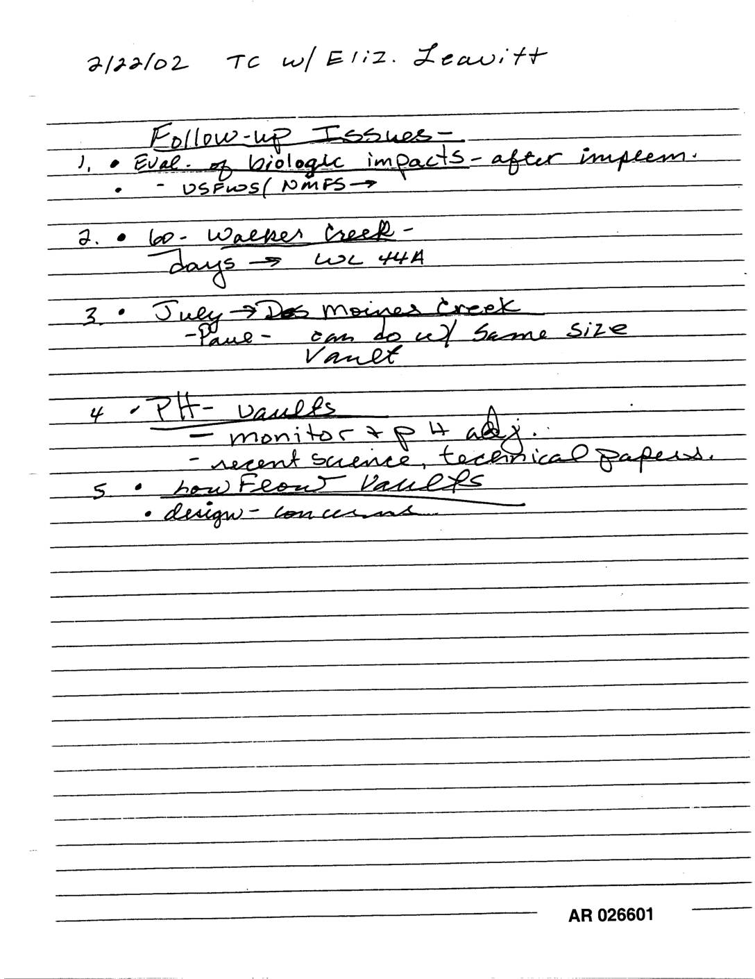
EXH AR026601: Handwritten Notes TC Elizabeth Leavitt Follow-Up Des Moines Creek Walker Creek pH Vaults
Handwritten notes dated 2/22/02 from a telephone call with Eliz. Leavitt outline five follow-up issues, including evaluation of biological impacts after implementation (involving USFWS/NMFS), a 60-day Walker Creek matter related to WL 44A, a July Des Moines Creek discussion about vaults of the same size, pH vault monitoring and recent science/technical papers, and concerns about how float vaults are designed. -
 2002-02-21
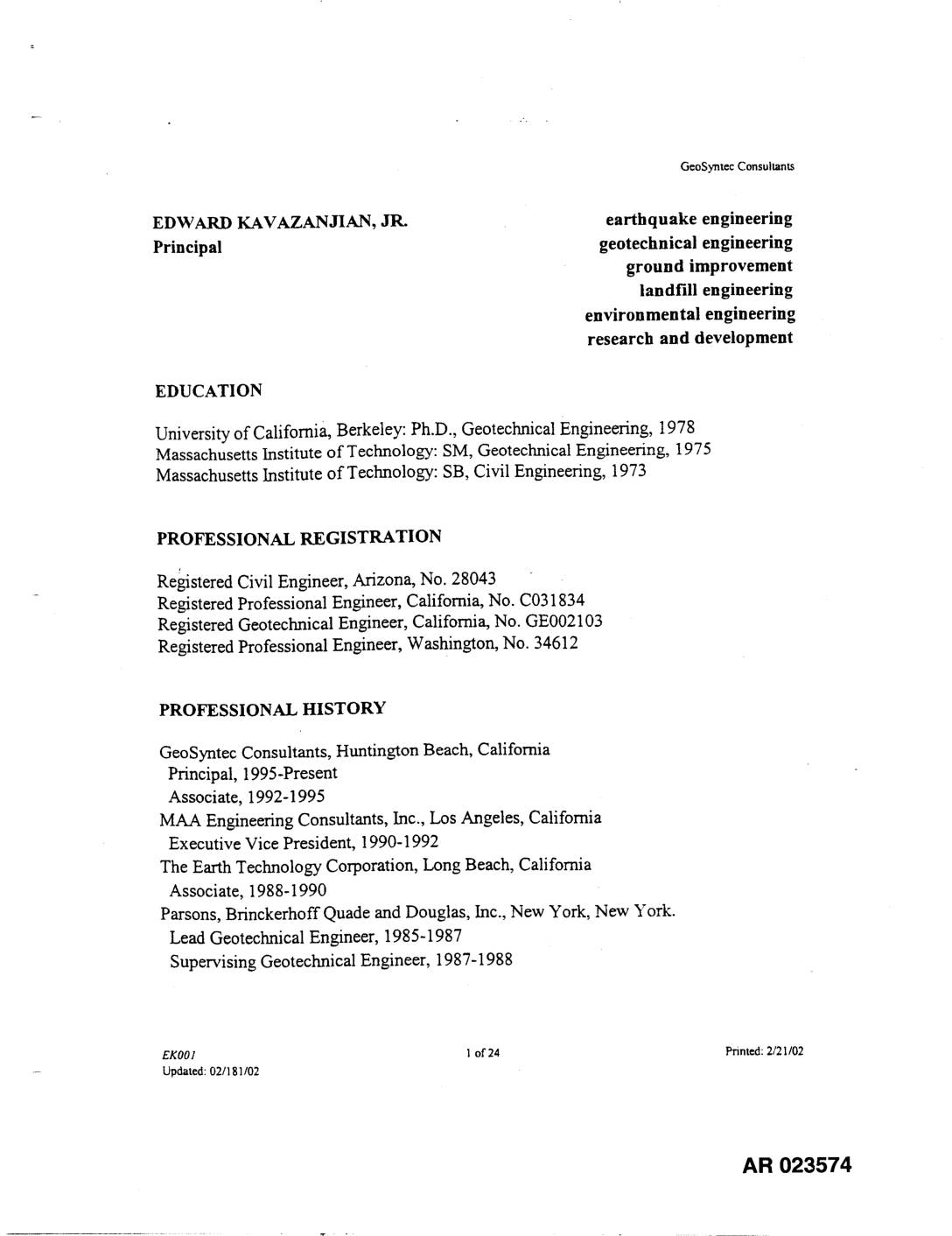
EXH AR023574: CV Edward Kavazanjian Jr. — GeoSyntec Consultants
This document is a professional curriculum vitae for Edward Kavazanjian, Jr., a Principal at GeoSyntec Consultants specializing in earthquake engineering, geotechnical engineering, and landfill engineering. He holds a Ph.D. from UC Berkeley and has extensive experience in seismic analysis, design, and hazard mitigation for major infrastructure projects across the United States and internationally. Note: This document does not appear to be directly related to Sea-Tac Airport noise policy.