TagSTCP(140)
-
 2002-10-22
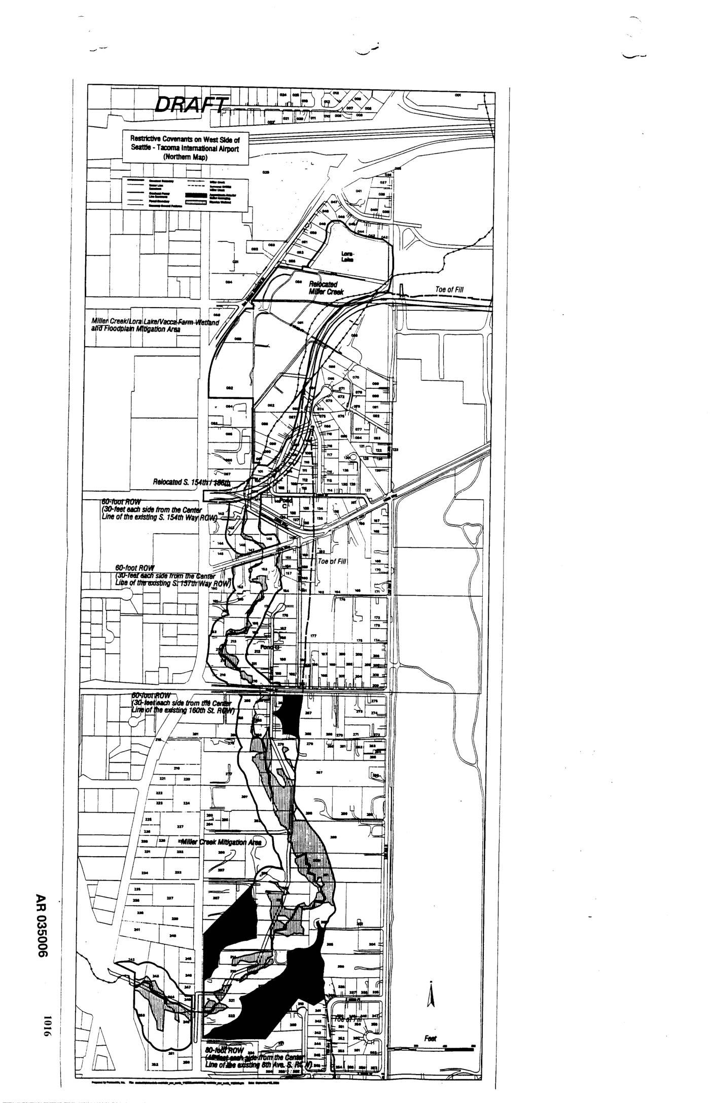
EXH AR035006: Draft Map — Restrictive Covenants on West Side of Seattle-Tacoma International Airport (Northern Map)
Draft map AR035006 showing restrictive covenants on the west side of Seattle-Tacoma International Airport (northern section). Features include Relocated Miller Creek, Lora Lake, Miller Creek/Lora Lake/Vacca Farm Wetland and Floodplain Mitigation Area, Miller Creek Mitigation Area, Toe of Fill boundaries, Relocated S. 154th Place, and multiple 60-foot ROW designations (30 feet each side from center -
 1990-01-01
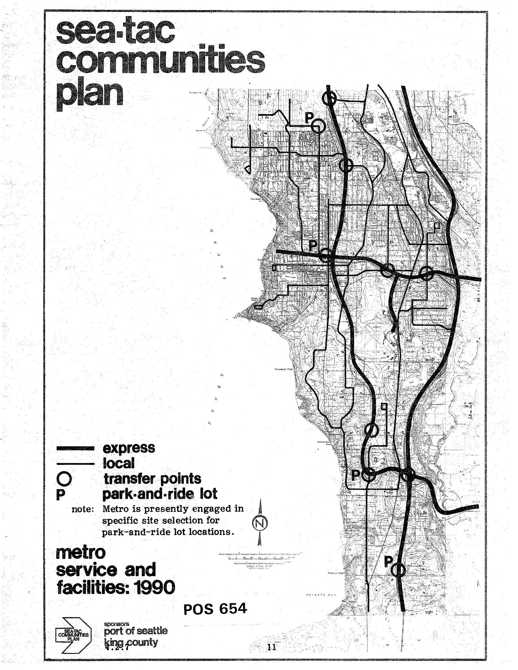
STCP Page 11: Proposed 1990 Metro Service and Facilities Map
Page 11 of the Sea-Tac Communities Plan (POS 654), sponsored by the Port of Seattle and King County, showing a proposed 1990 Metro transit network map for the Sea-Tac area with express and local bus routes, transfer points, and park-and-ride lot locations. A legend notes that Metro was engaged in specific site selection for park-and-ride lots at the time of publication. -
 1983-04-26
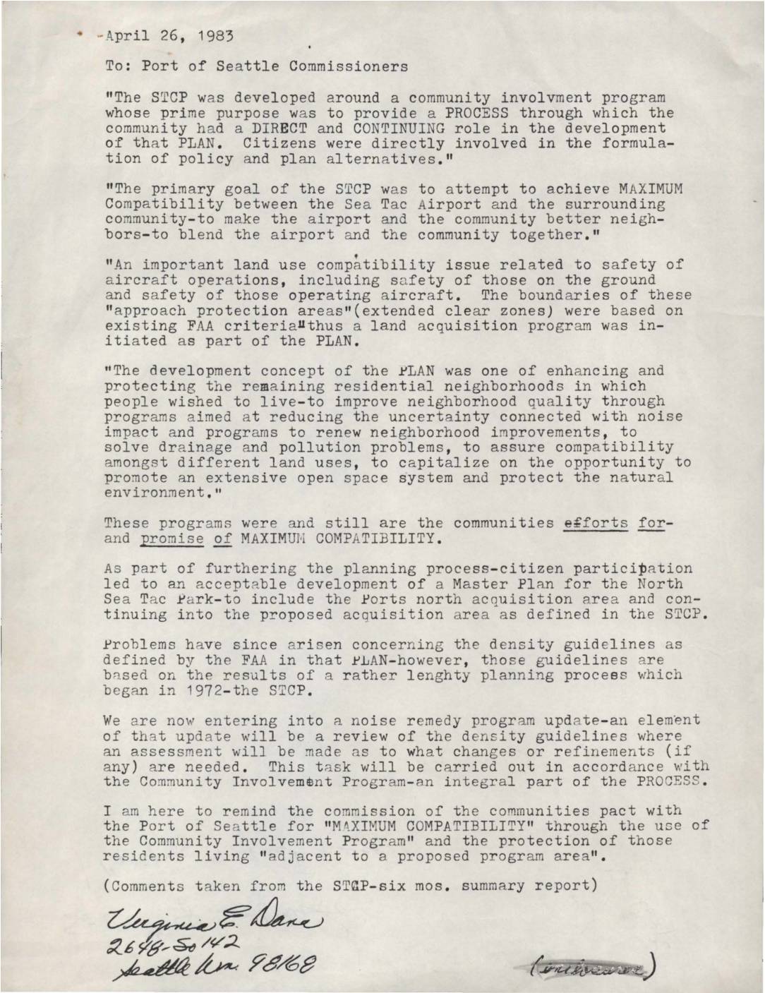
Letter to Port Of Seattle Commissioners regarding STCP and maximum compatibility
In this April 26, 1983 letter to the Port of Seattle Commissioners, resident Virginia E. Dare urges the commission to honor its commitment to 'maximum compatibility' between Sea-Tac Airport and surrounding neighborhoods, as originally promised under the Sea-Tac Community Plan (STCP) launched in 1972. The letter emphasizes that community members were guaranteed a direct, ongoing role in planning decisions—including noise mitigation, land acquisition, and density guidelines—through a formal Community Involvement Program. The author calls on commissioners to uphold that process as they enter a new noise remedy program update that will reassess FAA density guidelines affecting nearby residents. -
 1983-03-01
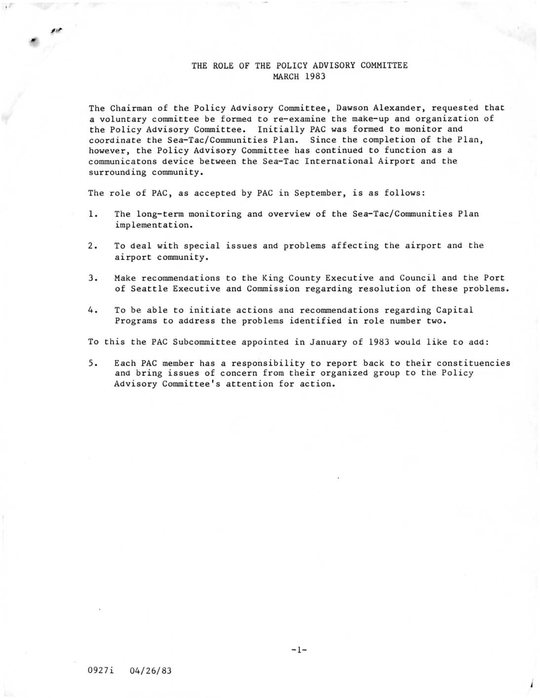
The Role of the Policy Advisory Committee, March 1983
This March 1983 document outlines the proposed role and restructured composition of the Policy Advisory Committee (PAC), a body formed to serve as a communication link between Sea-Tac International Airport and its surrounding communities. It defines five key responsibilities for PAC, including monitoring the Sea-Tac/Communities Plan, addressing airport-related issues, and making recommendations to King County and Port of Seattle officials. The document also proposes reforms to membership selection, including three-year terms, formal application procedures, public notification requirements, and geographically based citizen representation. -
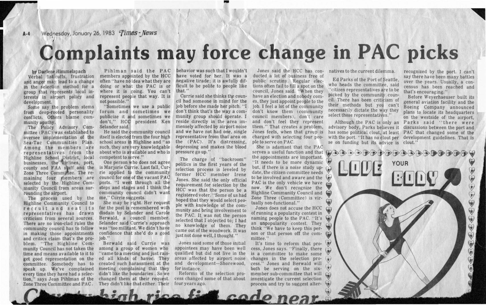 1983-01-26
Complaints may force change in PAC picks
A 1983 Times-News article reports that complaints about the Highline Community Council's informal and inconsistent process for appointing citizen representatives to the Policy Advisory Committee (PAC) — the body overseeing Sea-Tac airport development and noise policy — may force a reform of the selection method. Critics argued that appointees often lacked knowledge of the PAC's purpose and that residents most affected by airport noise were being excluded. A six-member sub-committee was formed to investigate the current process and recommend alternatives. -
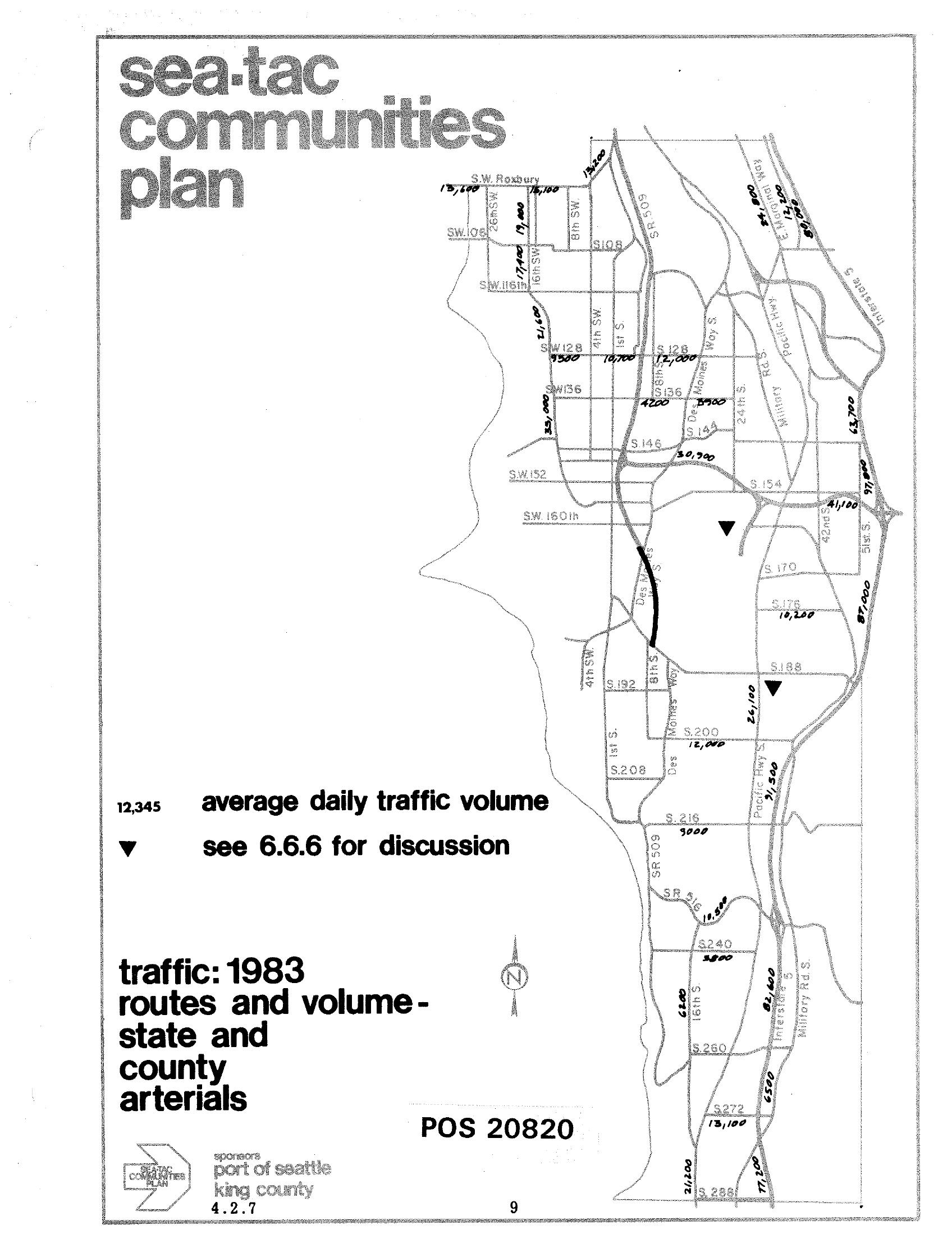 1983-01-01
Sea-Tac Communities Plan: 1983 Average Daily Traffic Volumes on State and County Arterials
A map from the Sea-Tac Communities Plan (document reference POS 20820, page 9, section 4.2.7) showing 1983 average daily traffic volumes on state and county arterials in the Sea-Tac area. The plan was sponsored by the Port of Seattle and King County, and includes a legend noting that downward-pointing triangle symbols refer to section 6.6.6 for discussion. -
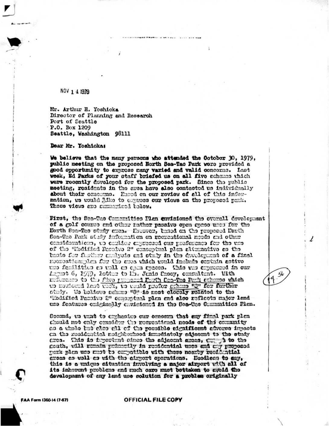 1979-11-14
Letter to Arthur H. Yoshioka re: North Sea-Tac Park planning
A November 1979 FAA letter to the Port of Seattle expresses support for a 'Modified Passive 2' conceptual plan for the proposed North Sea-Tac Park, while urging that any final park plan carefully weigh adverse impacts on adjacent residential neighborhoods and airport operations. The letter emphasizes that residents in the immediate study area should have meaningful input into the final park plan, and calls for close collaboration among the Port, King County, consultants, and citizens to minimize conflicts between park uses and the unique challenges posed by proximity to a major airport. -
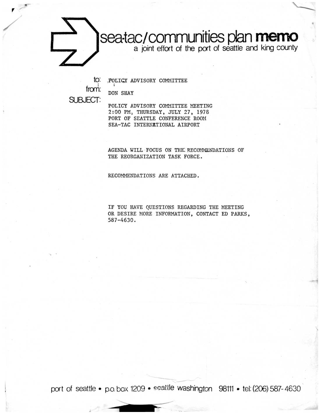 1978-07-27
Policy Advisory Committee Reorganization Task Force Recommendations and Meeting Notice, July 27, 1978
A 1978 memo from Don Shay notifies the Policy Advisory Committee of a meeting on July 27, 1978, at Sea-Tac International Airport to review recommendations from the Reorganization Task Force. The Task Force proposed restructuring the committee to focus on long-term monitoring of Sea-Tac Plan implementation, handling special issues, and making recommendations to King County and Port of Seattle leadership. The recommended committee composition included representatives from King County, the Port of Seattle, local businesses, the Highline School District, local governments, Sea-Tac Airlines, and four citizen representatives selected by the Highline Community Council. -
 1978-07-27
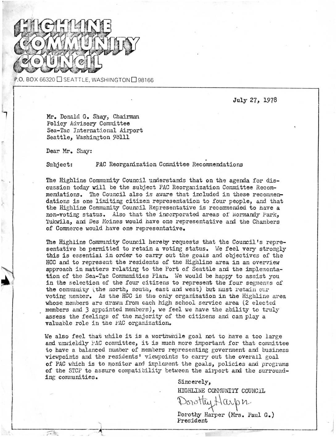
Letter from Highline Community Council to PAC Chairman Don Shay on PAC Reorganization Committee Recommendations
In a July 27, 1978 letter to the Policy Advisory Committee (PAC) chairman at Sea-Tac International Airport, the Highline Community Council president Dorothy Harper objected to a proposed reorganization that would reduce the Council's representative to a non-voting status. The Council argued that retaining a voting seat was essential to effectively represent Highline-area residents in matters related to the Port of Seattle and the Sea-Tac Communities Plan. The letter also emphasized the importance of maintaining a balanced membership on the PAC that equally reflects government, business, and residents' viewpoints. -
 1978-01-01
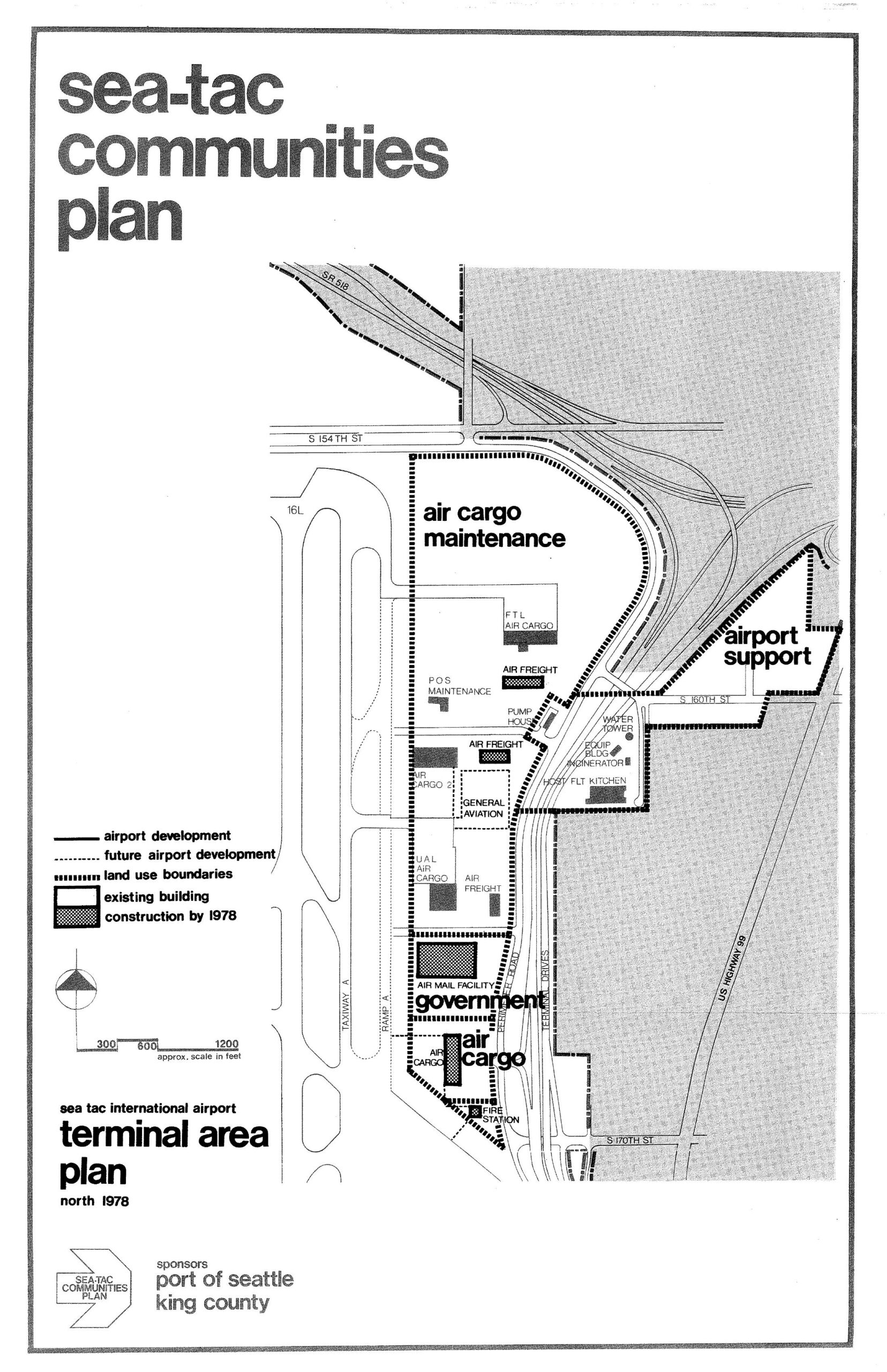
Sea-Tac International Airport North Terminal Area Plan Map, 1978
A land-use planning map from the Sea-Tac Communities Plan showing the north terminal area of Sea-Tac International Airport as of 1978, delineating zones for air cargo maintenance, airport support, government, and general aviation facilities, with existing buildings and planned construction indicated. The plan was sponsored by the Port of Seattle and King County, and shows key roadways including S 154th St, S 160th St, S 170th St, and US Highway 99.