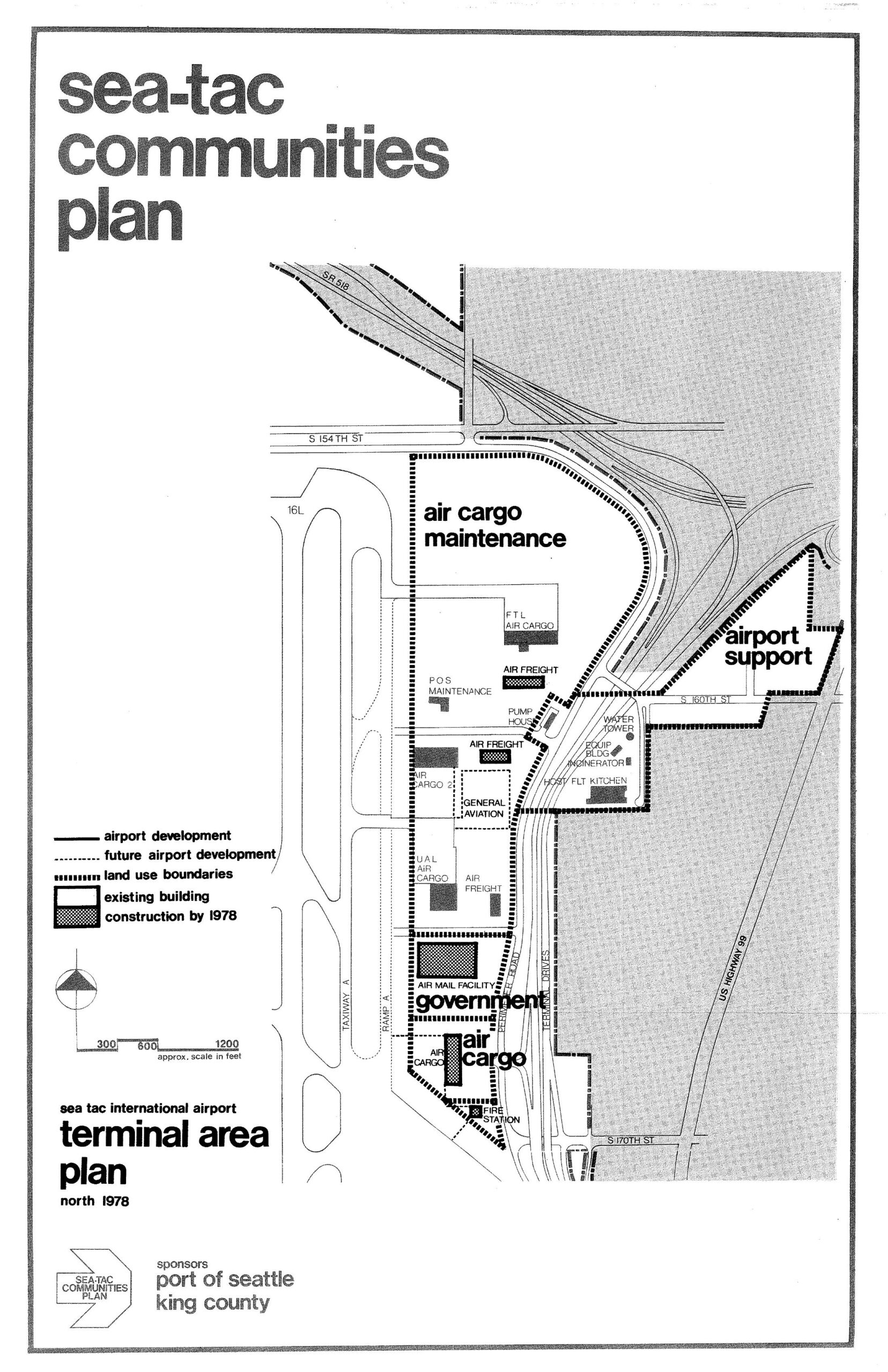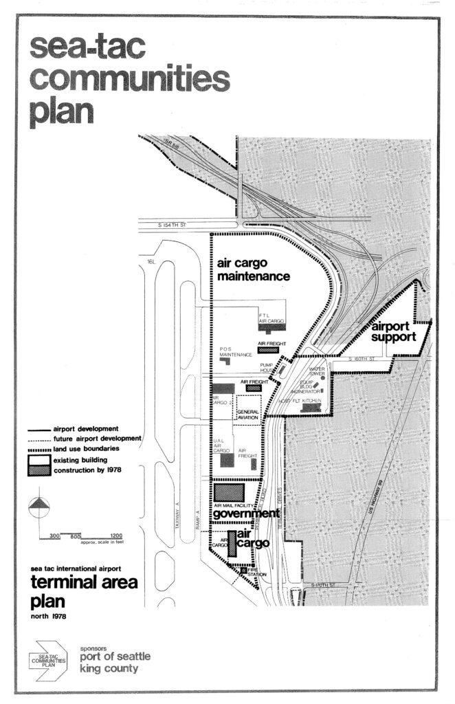
A land-use planning map from the Sea-Tac Communities Plan showing the north terminal area of Sea-Tac International Airport as of 1978, delineating zones for air cargo maintenance, airport support, government, and general aviation facilities, with existing buildings and planned construction indicated. The plan was sponsored by the Port of Seattle and King County, and shows key roadways including S 154th St, S 160th St, S 170th St, and US Highway 99.Open full document
Notes
A land-use planning map from the Sea-Tac Communities Plan showing the north terminal area of Sea-Tac International Airport as of 1978, delineating zones for air cargo maintenance, airport support, government, and general aviation facilities, with existing buildings and planned construction indicated. The plan was sponsored by the Port of Seattle and King County, and shows key roadways including S 154th St, S 160th St, S 170th St, and US Highway 99.