TagSea-Tac Airport(1855)
-
 2024-05-22
SAMP Near-Term Projects Environmental Review Overview — Highline Forum, May 22, 2024 (Page 1)
Title slide for a Port of Seattle presentation on the Sustainable Airport Master Plan Near-Term Projects Environmental Review, delivered by Steve Rybolt, Senior Environmental Program Manager, at the Highline Forum on May 22, 2024. -
 2024-05-22
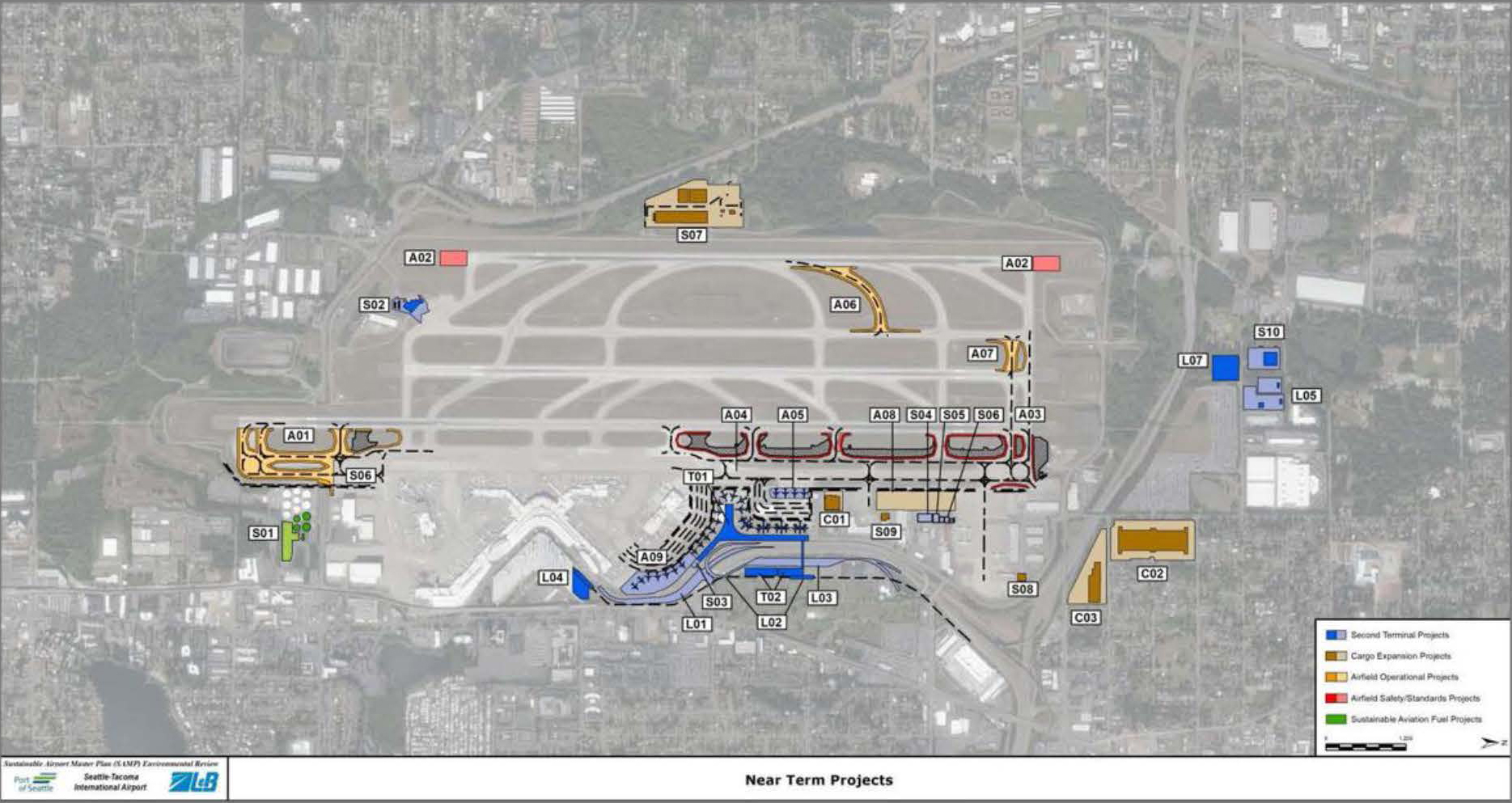
SAMP Environmental Review — Near-Term Capital Projects Aerial Map (Page 3)
This aerial map, from the Seattle-Tacoma International Airport Sustainable Airport Master Plan (SAMP) Environmental Review prepared by the Port of Seattle and LPA Group, depicts near-term capital projects across the airport campus. Projects are color-coded by category including Second Terminal Projects (blue), Cargo Expansion Projects (tan/gold), Airfield Operational Projects (yellow), Airfield Safety/Standards Projects (red), and Sustainable Aviation Fuel Projects (green), with individual project codes labeled (e.g., A01–A09, S01–S10, C01–C03, L01–L07, T01–T02). -
 2024-05-22
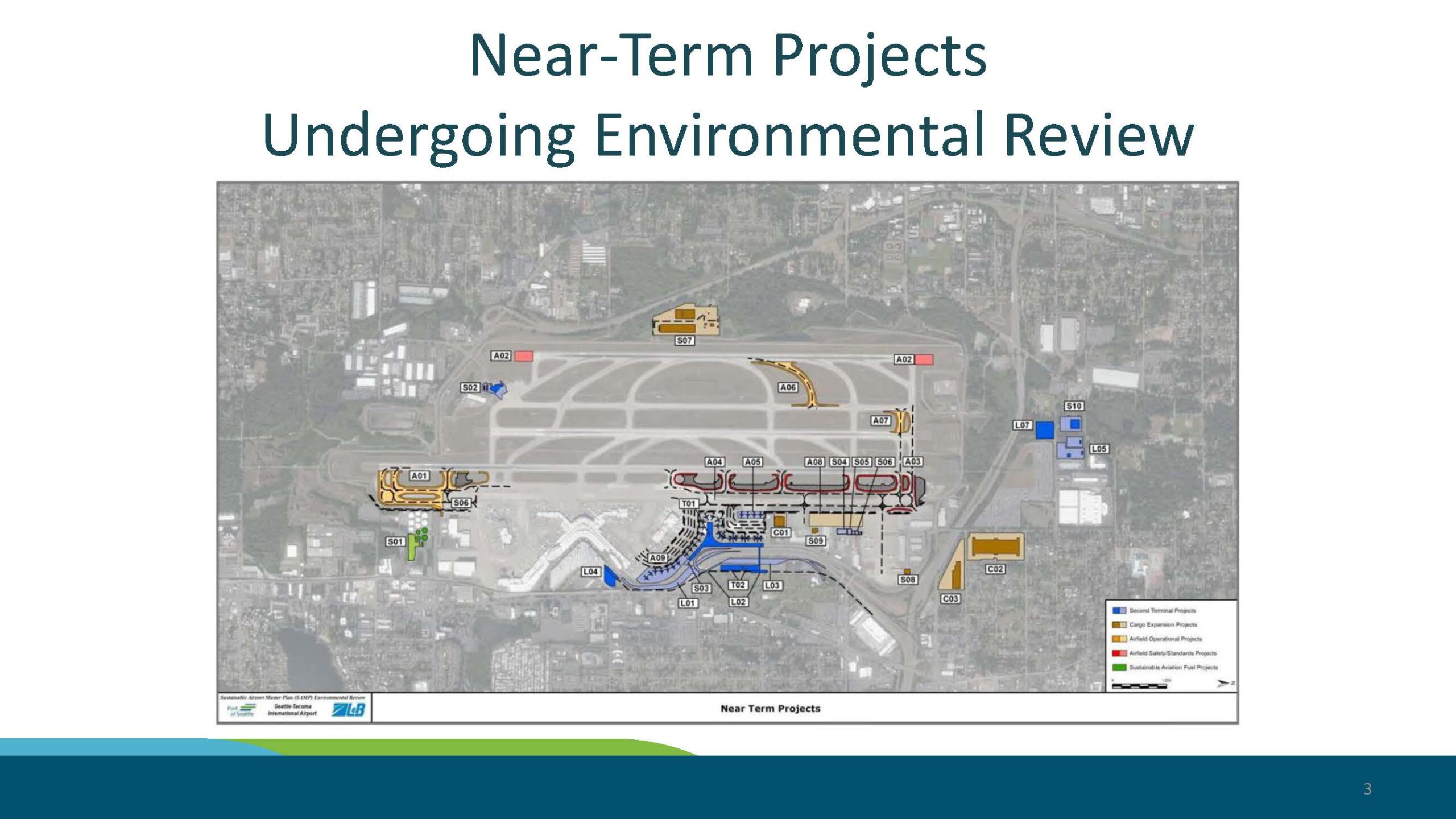
Highline Forum SAMP NTP EnvrReview Overview – 22may2024 Page 3
Slide 3 from a Port of Seattle presentation on the Seattle-Tacoma International Airport (Sea-Tac) Sustainable Airport Master Plan (SAMP) Environmental Review, showing an aerial map of near-term projects categorized by type: Second Terminal Projects (blue), Cargo Expansion Projects (orange/brown), Airfield Operational Projects (yellow), Airfield Safety/Standards Projects (red), and Sustainable Aviation Fuel Projects (green). The map is branded with the Port of Seattle and ZLB logos. -
 2024-05-22
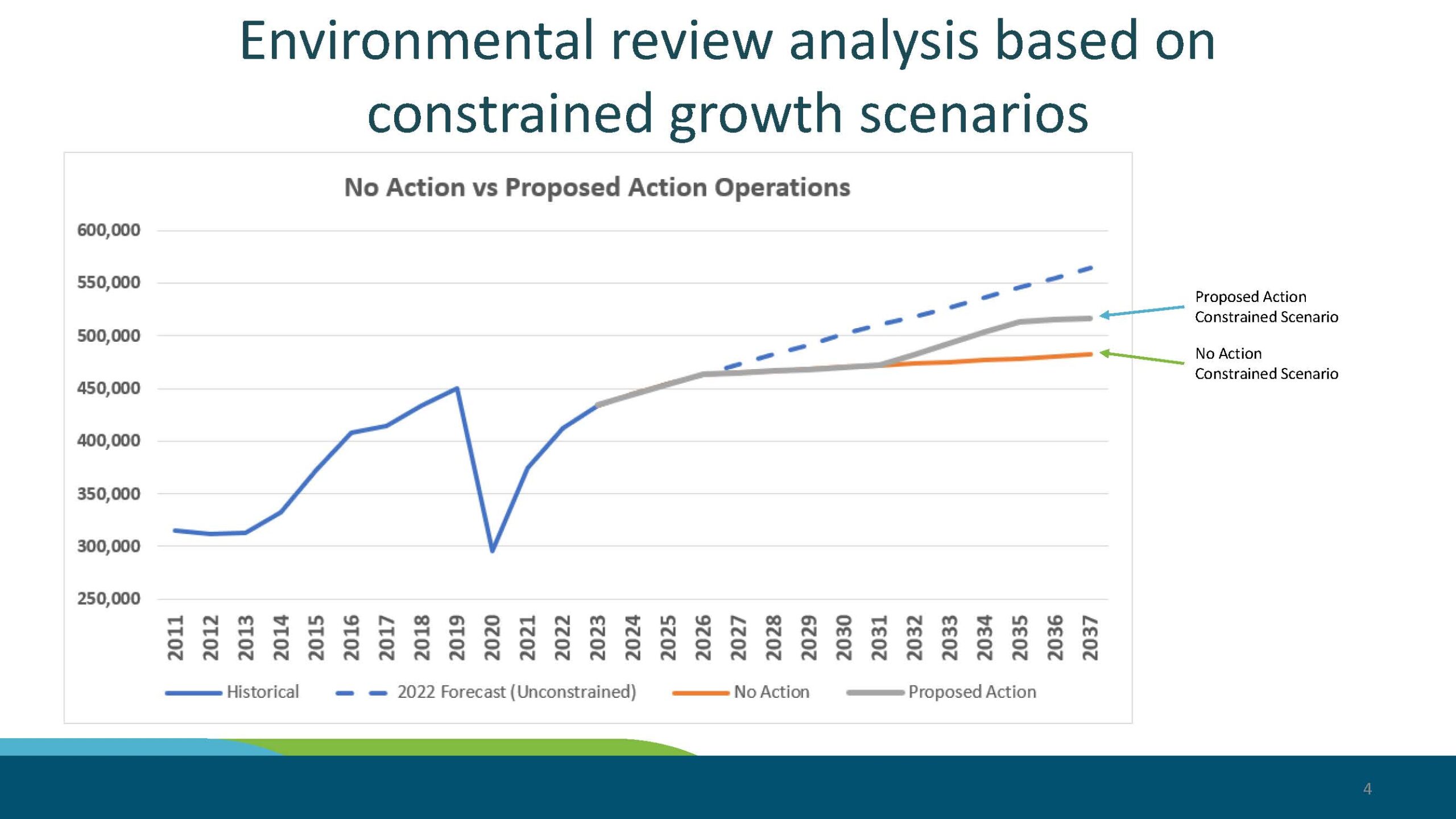
Highline Forum SAMP NTP Environmental Review Overview — Slide 4 (May 2024)
A presentation slide titled 'Environmental review analysis based on constrained growth scenarios' shows a line chart comparing historical operations data (2011–2020), a 2022 unconstrained forecast, and two constrained growth scenarios—No Action and Proposed Action—projected through 2037. The Proposed Action constrained scenario reaches approximately 515,000 operations by 2037, while the No Action constrained scenario plateaus near 480,000, both falling well below the unconstrained 2022 forecast of approximately 560,000. -
 2024-05-22
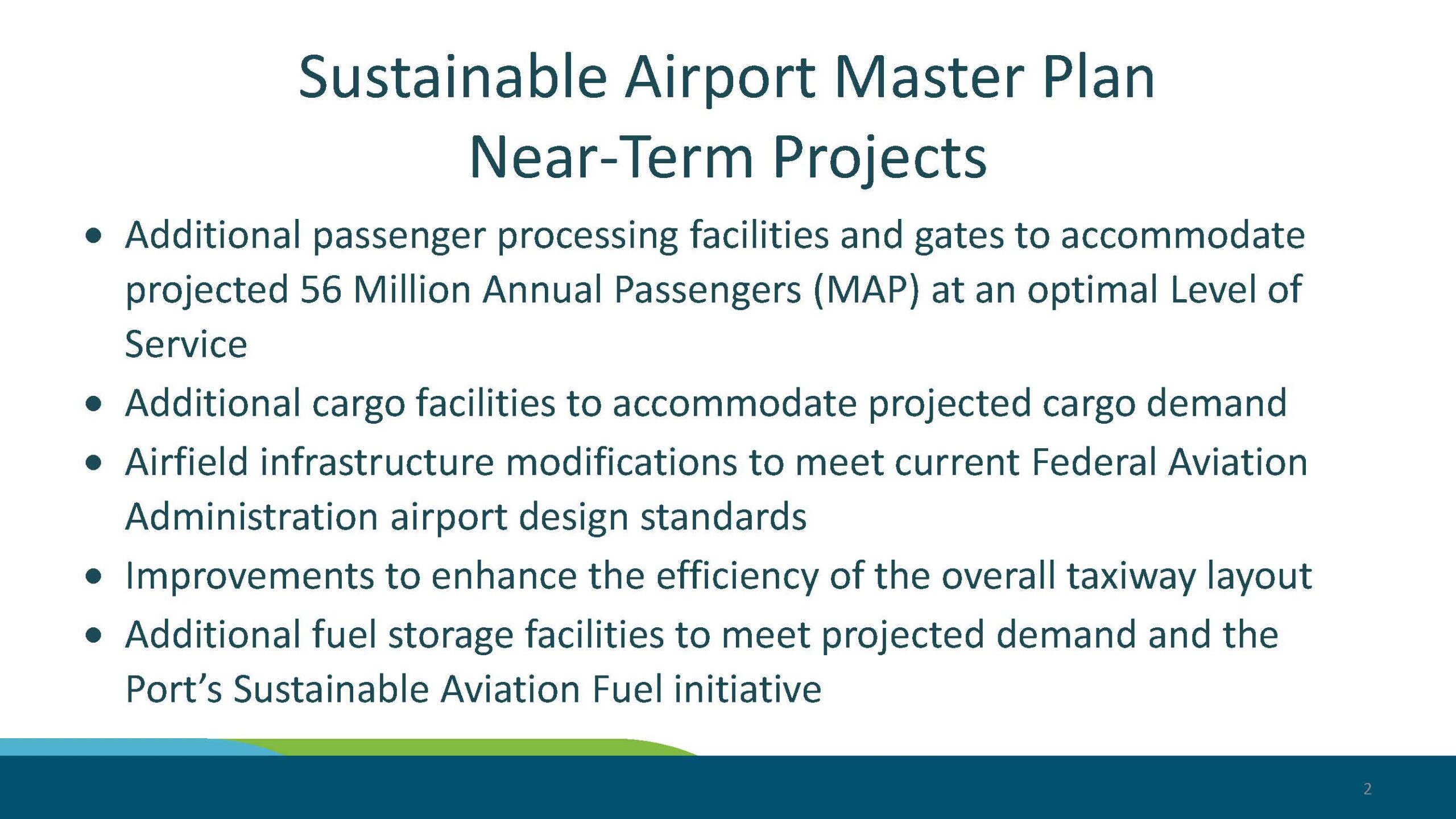
Highline Forum SAMP NTP Environmental Review Overview — Page 2 (May 22, 2024)
This presentation slide outlines near-term projects under the Sustainable Airport Master Plan, including expanded passenger processing facilities to accommodate a projected 56 Million Annual Passengers (MAP), additional cargo and fuel storage facilities, airfield infrastructure modifications to meet FAA design standards, and taxiway efficiency improvements. The mention of the Port's Sustainable Aviation Fuel initiative identifies this as a Port of Seattle document related to Seattle-Tacoma International Airport planning. -
 2024-05-13
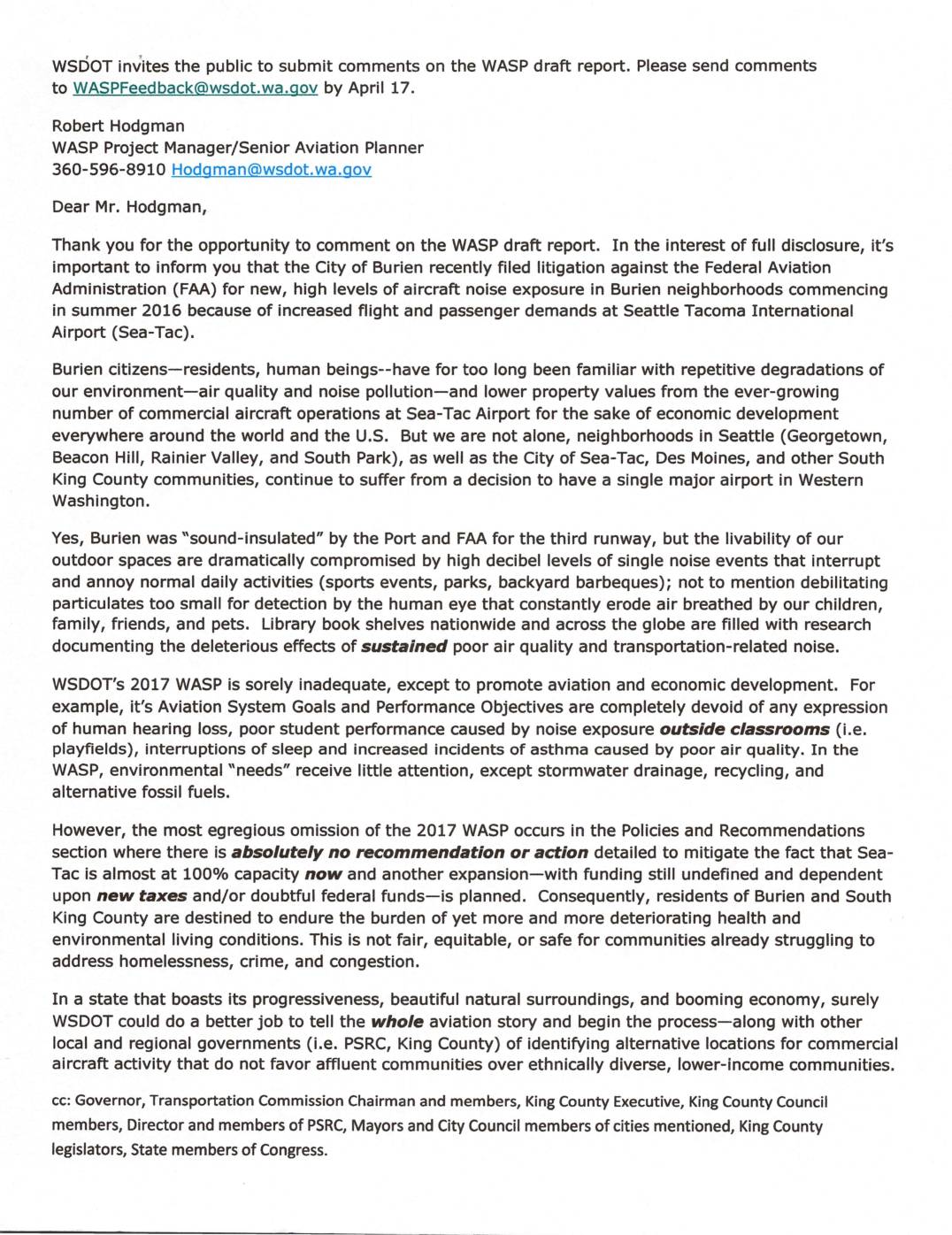
Comment letter on the Washington Aviation System Plan (WASP) draft report
A letter from the City of Burien to WSDOT criticizes the 2017 Washington Aviation System Plan (WASP) for failing to address the health and environmental impacts of growing aircraft noise and air pollution on communities near Seattle-Tacoma International Airport. The letter argues that the plan focuses too narrowly on aviation and economic development while ignoring issues such as hearing loss, poor student performance, sleep disruption, and asthma affecting lower-income and ethnically diverse neighborhoods. The author calls on WSDOT and regional governments to explore alternative airport locations to relieve the disproportionate burden placed on South King County communities. -
 2024-05-13
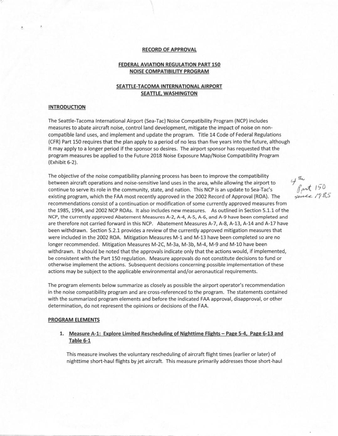
Record of approval: Federal Aviation Regulation Part 150 noise compatibility program, Seattle-Tacoma International Airport, Seattle, Washington
This document is the FAA's Record of Approval for Seattle-Tacoma International Airport's Noise Compatibility Program, which outlines measures to reduce aircraft noise and manage land use around the airport. It covers both new and updated measures, including voluntary rescheduling of nighttime flights, preferential runway use during nighttime hours, and a Fly Quiet Program to encourage airlines to follow noise abatement procedures. The FAA approved most measures as continuations of previously approved programs dating back to 1985, while disapproving the engine maintenance run-up regulations. -
 2024-05-11
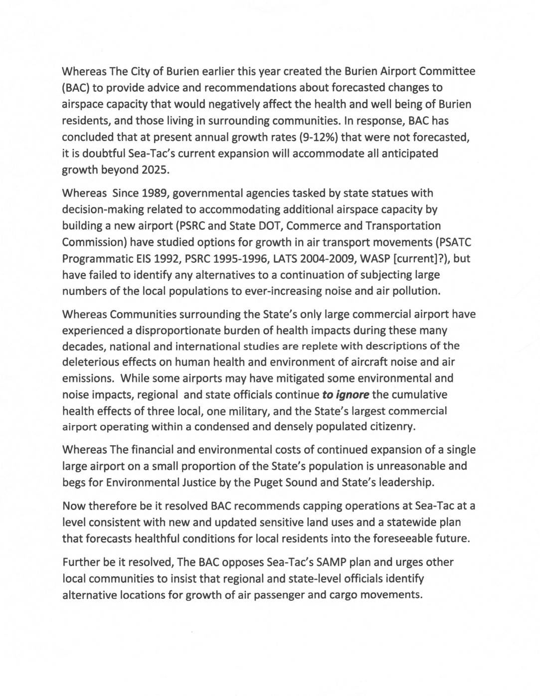
Burien Airport Committee resolution on Sea-Tac Airport operations and expansion
The Burien Airport Committee (BAC) recommends capping flights at Seattle-Tacoma International Airport, citing unacceptable health burdens from aircraft noise and air pollution on surrounding communities. The committee argues that decades of regional planning studies have failed to identify alternatives to concentrating all air traffic growth at Sea-Tac, and that current expansion plans will likely be insufficient beyond 2025. BAC opposes Sea-Tac's SAMP expansion plan and calls on state and regional officials to identify alternative locations for future air passenger and cargo growth. -
 2024-05-07
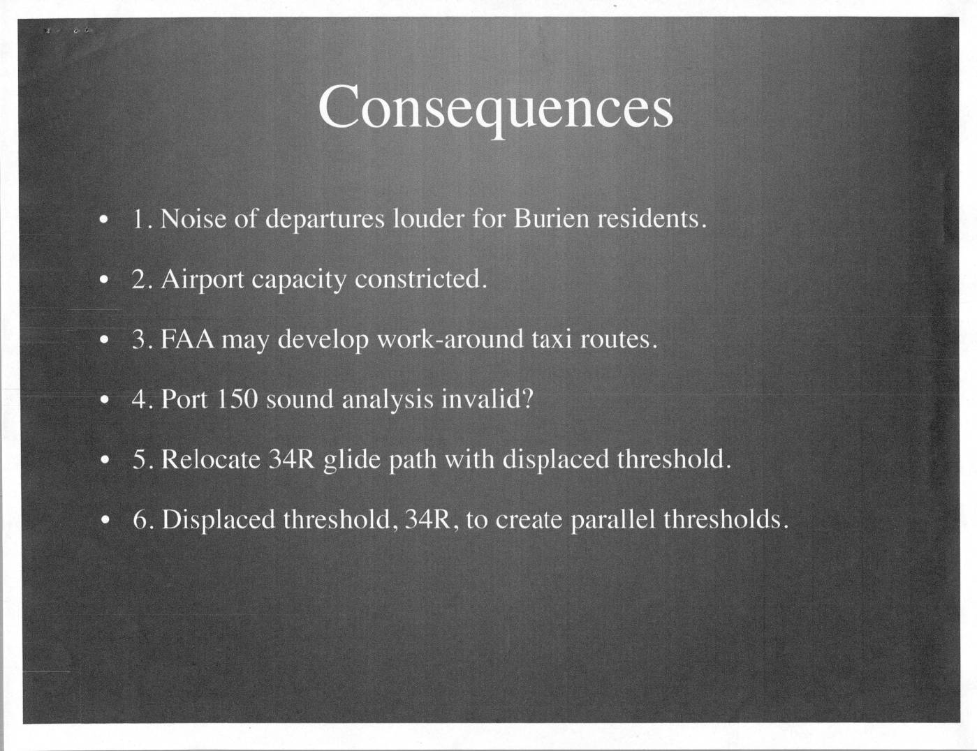
Consequences of parallel runway operations at Sea-Tac Airport
This presentation examines the consequences of runway configuration changes at Seattle-Tacoma International Airport (Sea-Tac), including louder departure noise for Burien residents, reduced airport capacity, and potential FAA workaround taxi routes. It references Seattle Air Traffic Control Tower standard operating procedures for opening and closing runways, and analyzes the feasibility of simultaneous parallel runway operations under FAA Order JO 7110.65. Key technical challenges identified include the need to relocate the Instrument Landing System, extreme ramp congestion, and the possibility of displacing the Runway 34R threshold by approximately 3,400 feet to achieve parallel threshold alignment. -
 2024-05-07
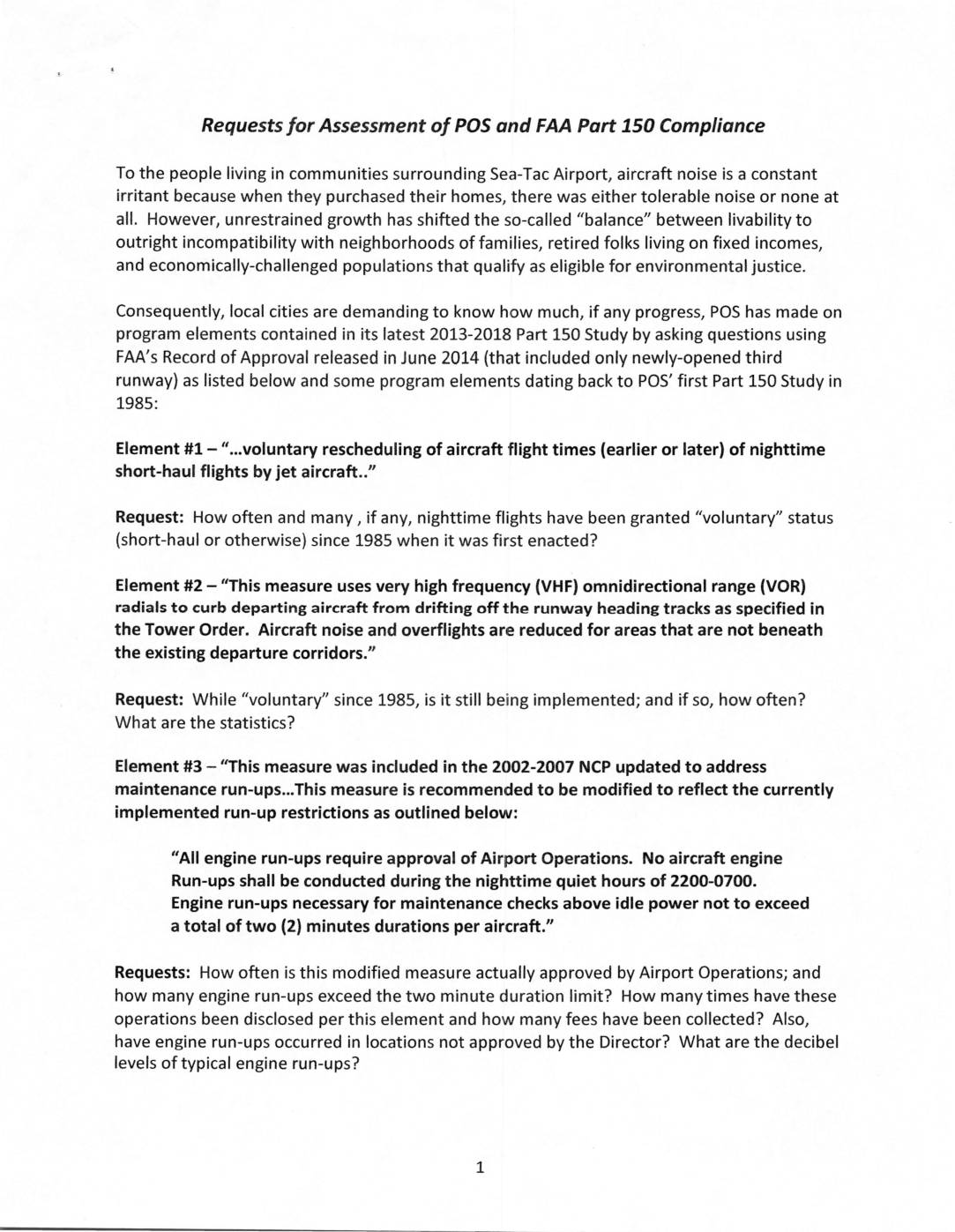
Requests for assessment of POS and FAA Part 150 compliance
Local communities surrounding Seattle-Tacoma International Airport are demanding accountability from the Port of Seattle (POS) regarding its compliance with FAA Part 150 noise mitigation measures, some dating back to 1985. The document raises detailed questions about ten specific program elements — including voluntary flight rescheduling, engine run-up restrictions, noise abatement corridors, the Fly Quiet Program, and home sound insulation — asking for data on how consistently and effectively each measure has actually been implemented. Critics argue that despite decades of commitments, key noise reduction tools such as a Ground Run-Up Enclosure have been quietly dropped, while growing air traffic continues to harm residential neighborhoods and environmentally vulnerable populations.