TagSea-Tac Airport(1855)
-
 2024-09-04
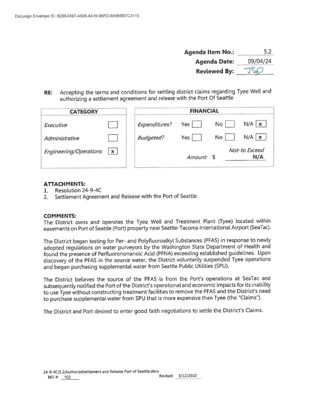
Resolution 24-9-4C: Settlement Agreement and Release — Highline Water District and Port Of Seattle Regarding Tyee Well PFAS Contamination
Highline Water District reached a settlement with the Port of Seattle after PFAS chemicals, likely originating from Seattle-Tacoma International Airport operations, were found to have contaminated the District's Tyee Well, forcing the District to suspend well operations in June 2022. The contamination required the District to purchase more expensive replacement water from Seattle Public Utilities, and new EPA regulations finalized in 2024 further prohibited resuming well use without installing costly treatment facilities. The two parties negotiated a mutual release of claims to resolve the District's operational and financial losses resulting from the contamination. -
2024-08-26
Port of Seattle Updates (outage)
Currently the Port of Seattle/Seattle-Tacoma International Airport (SEA) website is down as part of the system outages that began Saturday, August 24. Until the website is fully restored, please check this page for official statements and updates. The Port of Seattle is experiencing certain system outages, indicating a possible cyberattack. The Port isolated critical systems -
 2024-08-25
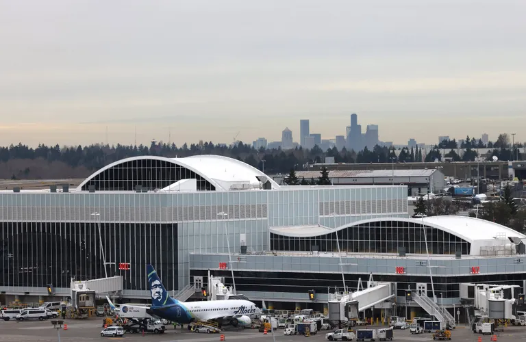
Sea-Tac Airport officials confirm cyberattack disrupted service, websites
By Caitlyn Freeman and Rebecca Moss Seattle Times staff reporters Seattle-Tacoma International Airport officials confirmed Sunday that an apparent cyberattack took down websites, email and phone services at the airport and Port of Seattle this weekend, disrupting travel plans. The outages were first reported Saturday morning and stretched into Sunday afternoon, with officials offering no -
2024-07-11
SEATTLE-TACOMA INTERNATIONAL (KSEA) Runway Information Seattle, WA
Runway Information for SEATTLE-TACOMA INTERNATIONAL Airport (SEA) 16L/34R 16C/34C 16R/34L ID Dimensions Surface Weight Bearing Capacity 16L/34R 11901 ft x 150 ft / 3627.4 m x 45.7 m Bituminous Concrete (grooved), Excellent Condition Single Wheel 120.0 Double Wheel 250.0 Double Tandem 550.0 Dual Double Tandem 1120.0 16L/34R Details Title 16L 34R Latitude 47-27-49.6628N 47-25-52.2202N Longitude -
2024-07-04
Sea-Tac Airport’s 75th anniversary takes off amid constant change
By Jean Sherrard Special to The Seattle Times IF THERE WERE birthday candles for our premier regional airport, winds of perpetual change would blow them out. On July 9, 1949, 30,000 people gathered to dedicate the gleaming $3 million terminal and administration building of Seattle-Tacoma (long nicknamed Sea-Tac) International Airport. Its six stories and 243,000 -
 2024-07-02
Appendix E: Coastal Resources – FAA CZMP Negative Determination Letter
The Federal Aviation Administration (FAA) issued a Negative Determination in July 2024, concluding that planned near-term construction and equipment relocation projects at Seattle-Tacoma International Airport (SEA) are not reasonably likely to cause effects on Washington State's coastal zone. The 31 Near-Term Projects, which include taxiway extensions, blast pad expansions, and relocation of navigational aids, are part of the airport's Sustainable Airport Master Plan and are scheduled to begin construction in 2026. The FAA requested written concurrence from the Washington State Department of Ecology, while the Port of Seattle remains responsible for separate consistency certification for any projects requiring Clean Water Act permits. -
 2024-07-02
Appendix E: Coastal Resources — FAA CZMP Negative Determination and Washington State Department of Ecology Response for Sea-Tac Airport Near-Term Projects
The FAA issued a Negative Determination in July 2024, concluding that planned Near-Term Projects at Seattle-Tacoma International Airport (SEA) are not likely to cause coastal effects under the Coastal Zone Management Act. The projects include taxiway extensions, blast pad expansions, and relocation of navigational equipment across four airfield areas, with construction set to begin in 2026 over a six-year period. Because all FAA actions are confined to upland areas within the airport property, no significant impacts to Washington State's coastal zone resources were identified. -
 2024-07-02
FAA CZMP Negative Determination Letter: Seattle-Tacoma International Airport Near-Term Projects
The FAA issued a Negative Determination in July 2024, concluding that planned near-term construction and equipment-relocation projects at Seattle-Tacoma International Airport are not likely to cause effects on Washington State's coastal zone. The 31 Near-Term Projects—drawn from the airport's Sustainable Airport Master Plan—include taxiway extensions, blast pad expansions, and high-speed runway exits, with FAA involvement limited to relocating navigational aids and adjusting flight procedures on airport property. The Washington State Department of Ecology was asked to concur with this finding under the Coastal Zone Management Act. -
 2024-06-20
Notice of public hearing: Port Of Seattle bond and note issuance
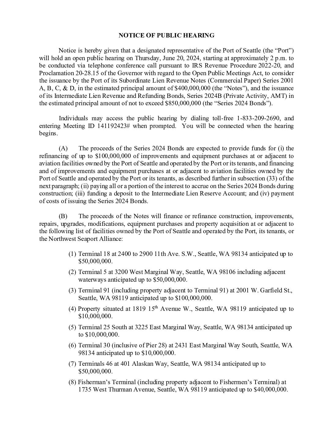
The Port of Seattle held a public hearing on June 20, 2024, to consider issuing up to $400 million in commercial paper notes and up to $850 million in revenue bonds to fund improvements across its maritime and aviation facilities. A significant portion—up to $600 million—is earmarked for Seattle-Tacoma International Airport projects, including runway repairs, terminal construction, noise mitigation, and related airfield upgrades. The notice also covers funding for seaport terminals, marinas, and Port technology infrastructure throughout the Seattle area. -
SEL and DNL 65 Noise Metrics Educational Slide — Port Of Seattle Part 150 Study
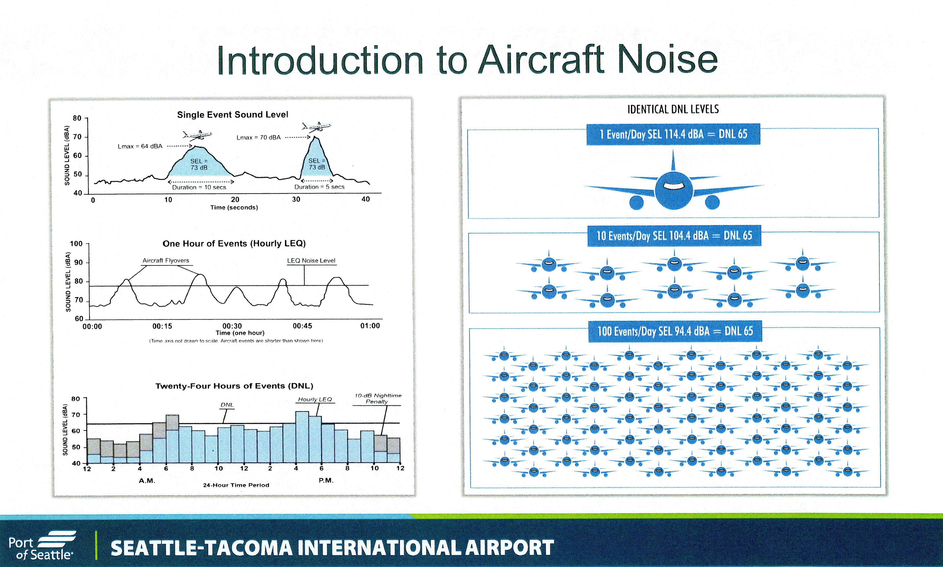
An educational slide produced by the Port of Seattle for Seattle-Tacoma International Airport explaining aircraft noise metrics, including Single Event Sound Level (SEL), Hourly LEQ, and Day-Night Level (DNL). The slide illustrates how varying numbers of daily flight events (1, 10, or 100) can produce identical DNL 65 noise levels, and includes charts showing sound levels over time periods ranging from seconds to 24 hours.