TagSea-Tac Airport(1855)
-
 2024-12-05
Commenting on the SAMP: An STNI Explainer on the Sustainable Airport Master Plan
Sea-Tac Noise.Info published this guide in December 2024 to help community members participate in the public comment period for Sea-Tac Airport's Sustainable Airport Master Plan (SAMP). It walks residents through what the SAMP is, what problems to raise in their comments, and how to ensure their comments are complete and properly submitted. The guide emphasizes that residents should write their own personal comments rather than copying pre-made text. -
 2024-12-03
Seattle-Tacoma International Airport (SEA) Sustainable Airport Master Plan environmental assessment: EA highlights and public comment
The Port of Seattle held a public meeting on December 3, 2024 in Des Moines, WA to present highlights from the Environmental Assessment (EA) for Seattle-Tacoma International Airport's Sustainable Airport Master Plan (SAMP). The SAMP outlines a wide range of near-term construction and expansion projects across the airport, including airside, landside, terminal, cargo, and support facilities. The meeting provided an opportunity for community members to learn about the plan's environmental findings and submit public comments. -
 2024-12-03
SEA Sustainable Airport Master Plan EA Public Comment Meeting – Des Moines, WA, December 3, 2024
Slide from a virtual public meeting presented by the City of Des Moines, WA and Vianair on December 3, 2024, covering highlights of the Seattle-Tacoma International Airport (SEA) Sustainable Airport Master Plan Environmental Assessment (EA) and inviting public comment. The presenter shown in the video thumbnail is identified by an on-screen label as Jason Schwartz of Vianair, with an Alaska Airlines aircraft and Mount Rainier visible in the background photo. -
 2024-11-21
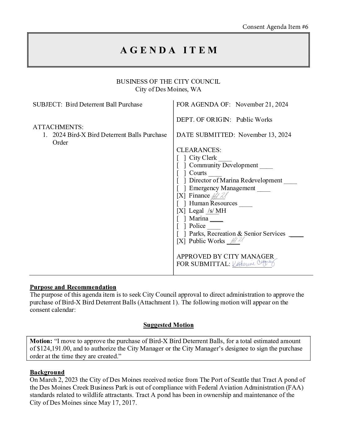
Bird deterrent ball purchase agenda item
The City of Des Moines, WA is purchasing $124,191 worth of Bird-X bird deterrent balls to cover a 32,000-square-foot stormwater detention pond at the Des Moines Creek Business Park, after the Port of Seattle notified the city in 2023 that the pond was out of compliance with FAA wildlife hazard standards. FAA Advisory Circular 150/5200-33C requires physical barriers on stormwater ponds near public-use airports—such as Seattle-Tacoma International Airport—when standing water persists longer than 48 hours and poses a risk of attracting hazardous wildlife that could interact with aircraft. The City Council approved the purchase on November 21, 2024, with costs funded through the Surface Water Management Maintenance Fund. -
 2024-11-20
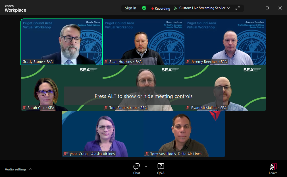
FAA Puget Sound Airspace Webinar
Almost everything you ever wanted to know about flight paths. Can you handle the truth? Overview A two hour seminar hosted by the FAA which answers every common question area residents always. have. We’ve participated in several of these in other cities and although each is customized to describe the local airport and flight paths, -
 2024-11-19
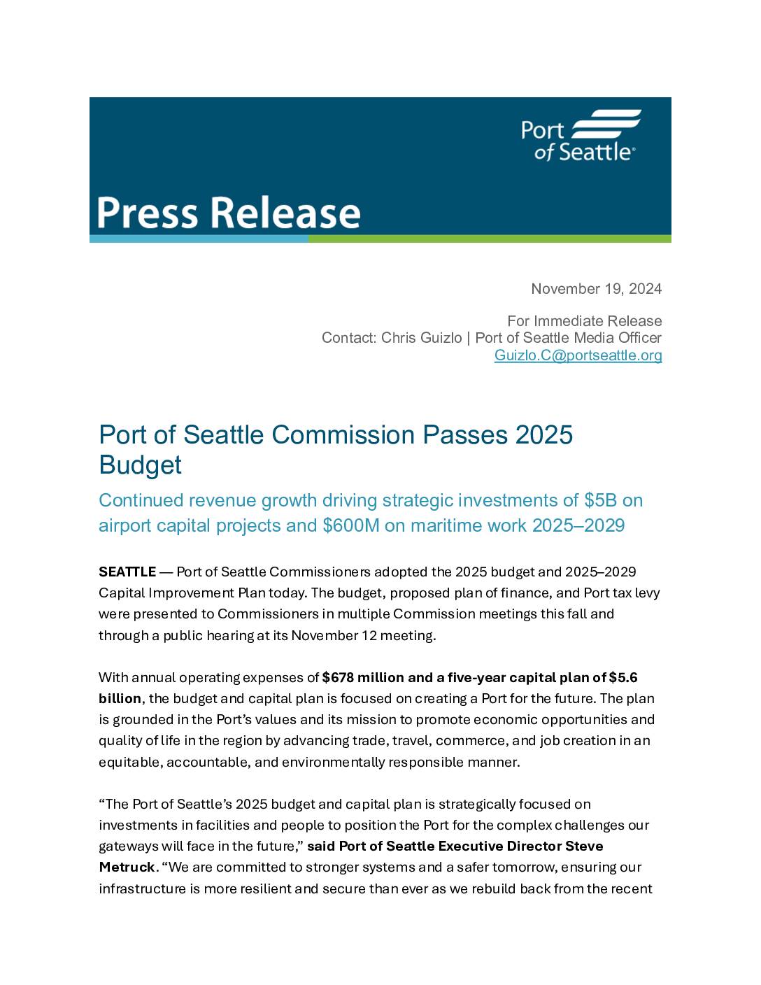
Port Of Seattle Commission Passes 2025 Budget
The Port of Seattle Commission approved its 2025 budget and five-year Capital Improvement Plan on November 19, 2024, outlining $1.1 billion in operating revenues and $678 million in operating expenses, alongside a $5.6 billion capital investment plan through 2029. The plan prioritizes infrastructure upgrades at Seattle-Tacoma International Airport (SEA), maritime facilities, and sustainability initiatives including waterfront electrification and alternative fuels. Additional commitments include community equity programs, workforce development, and efforts to reduce environmental impacts on surrounding communities. -
 2024-11-19
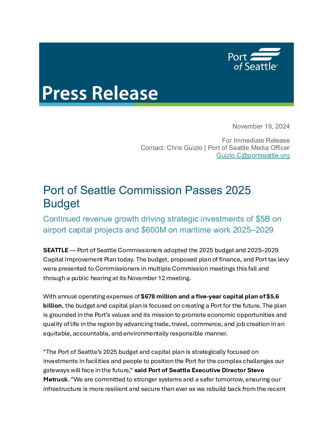
Port Of Seattle Commission passes 2025 budget
The Port of Seattle Commission approved its 2025 budget on November 19, 2024, featuring $1.1 billion in operating revenues and a five-year, $5.6 billion capital improvement plan focused on airport and maritime infrastructure. The budget prioritizes investments in SEA Airport facilities, workforce development, sustainability initiatives such as waterfront electrification and alternative fuels, and community equity programs including an expanded South King County Community Impact Fund. While the document centers on broad Port operations and capital planning, it reflects the Port's commitment to reducing environmental impacts on surrounding communities amid record passenger growth at Seattle-Tacoma International Airport. -
 2024-11-14
Port Of Seattle signatory lease and operating agreement 2025–2034
This is a draft Signatory Lease and Operating Agreement between the Port of Seattle and participating airlines for the operation of Seattle-Tacoma International Airport, covering the period 2025 through 2034. The agreement outlines the terms under which airlines may use airport facilities including gates, terminals, airfields, baggage systems, and ticket counters, along with the associated rates and fees for each. It also establishes airline rights and responsibilities regarding capital improvements, gate assignments, and facility use at Sea-Tac Airport. -
 2024-11-12
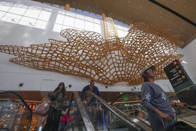
Sea-Tac’s art collection is a visual treat for holiday travelers
By Gemma Wilson Seattle Times arts and culture writer Most of the time, riding an airport escalator gets you from point A to point B while offering a break from hauling suitcases or a chance to triple-check your airline ticket. But if you’re riding the escalator up into Seattle-Tacoma International Airport’s bright, newly renovated N -
 2024-11-12
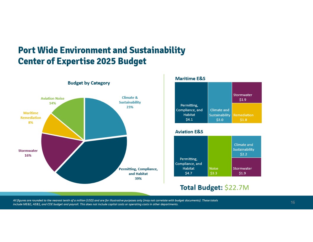
Port Of Seattle Environment & Sustainability Center of Expertise 2025 Budget Overview — Slide 171 (November 12, 2024 RM Packet)
A budget overview slide showing the Port's Environment and Sustainability Center of Expertise 2025 budget totaling $22.7M, broken down by category including Permitting/Compliance/Habitat (39%), Climate & Sustainability (23%), Stormwater (16%), Aviation Noise (14%), and Maritime Remediation (8%), with separate breakdowns for Maritime E&S and Aviation E&S divisions. Aviation E&S includes a Noise budget line of $3.3M, relevant to Sea-Tac Airport noise policy.