TagSea-Tac Airport(1855)
-
 1999-09-17
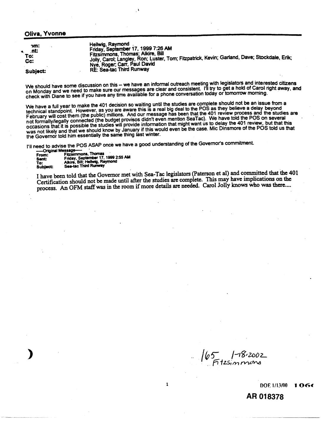
Exhibit 165: RE: Sea-Tac Third Runway — 401 Certification Timing and Governor’s Commitment
Email chain from Raymond Hellwig (Washington State Department of Ecology) to Thomas Fitzsimmons and Bill Alkire, cc’ing Carol Jolly, Ron Langley, Tom Luster, Kevin Fitzpatrick, Dave Garland, Erik Stockdale, Roger Nye, and Paul David Carr, dated September 17, 1999. Discusses Governor’s reported commitment to Sea-Tac legislators (Paterson et al.) that the Section 401 Water Quality -
 1999-09-16
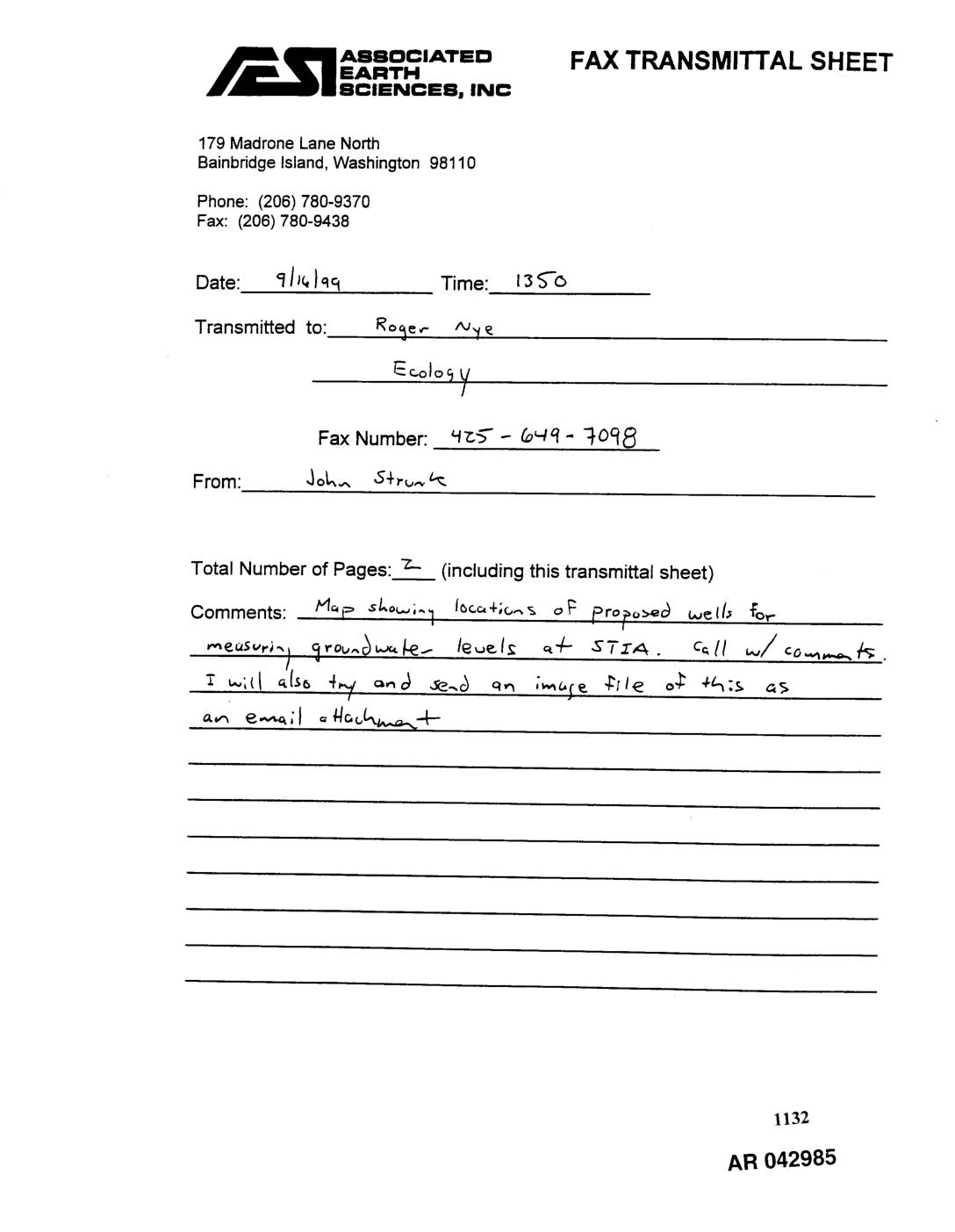
EXH AR042985: Fax Transmittal and Map — Proposed Groundwater Level Monitoring Well Network, STIA Groundwater Study
Fax transmittal dated 9/16/99 from John Strunk of Associated Earth Sciences, Inc. (Bainbridge Island, WA) to Roger Nye at Ecology, transmitting a map showing proposed well locations for measuring groundwater levels at Seattle-Tacoma International Airport (STIA). The attached map titled ‘Proposed Groundwater Level Monitoring Well Network, STIA Groundwater Study’ (September 16th, 1999) shows on-site and -
 1999-09-16
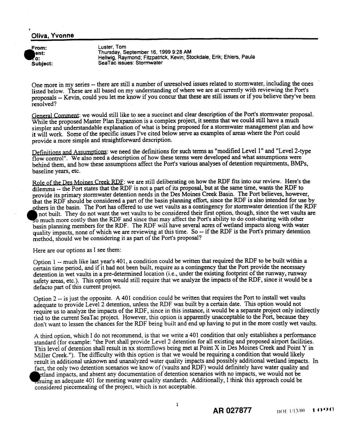
EXH AR027877: Internal Email on Unresolved Sea-Tac Stormwater Issues — 401/CZM Review, Des Moines Creek RDF, and Water Quality BMPs
Internal email from Tom Luster (Washington State Department of Ecology) to Raymond Hellwig, Kevin Fitzpatrick, Erik Stockdale, and Paula Ehlers dated September 16, 1999, outlining unresolved stormwater issues in the 401/CZM review of Port Of Seattle’s Sea-Tac Airport Master Plan Expansion. Topics include: definitions of ‘modified Level 1’ and ‘Level 2-type flow control’; role of -
 1999-09-01
EXH AR018047: Annual Stormwater Monitoring Report for Seattle-Tacoma International Airport, July 1, 1998 – June 30, 1999
Annual stormwater monitoring report (AR018047) prepared by Port Of Seattle for Seattle-Tacoma International Airport (STIA) covering the period July 1, 1998 through June 30, 1999. Documents NPDES stormwater sampling results across STIA storm drainage subbasins including grab and composite samples for total petroleum hydrocarbons (TPH), fecal coliforms, suspended solids (TSS), turbidity, biochemical oxygen demand (BOD5), -
 1999-09-01
EXH AR042872: Annual Stormwater Monitoring Report for STIA, July 1998–June 1999
Annual Stormwater Monitoring Report for Seattle-Tacoma International Airport (STIA) covering the period July 1, 1998 through June 30, 1999, prepared by Port Of Seattle, September 1999. Report AR 042872 covers NPDES stormwater sampling at STIA storm drainage subbasins including grab and composite sample results for total petroleum hydrocarbons (TPH), fecal coliforms, suspended solids (TSS), turbidity, -
 1999-09-01
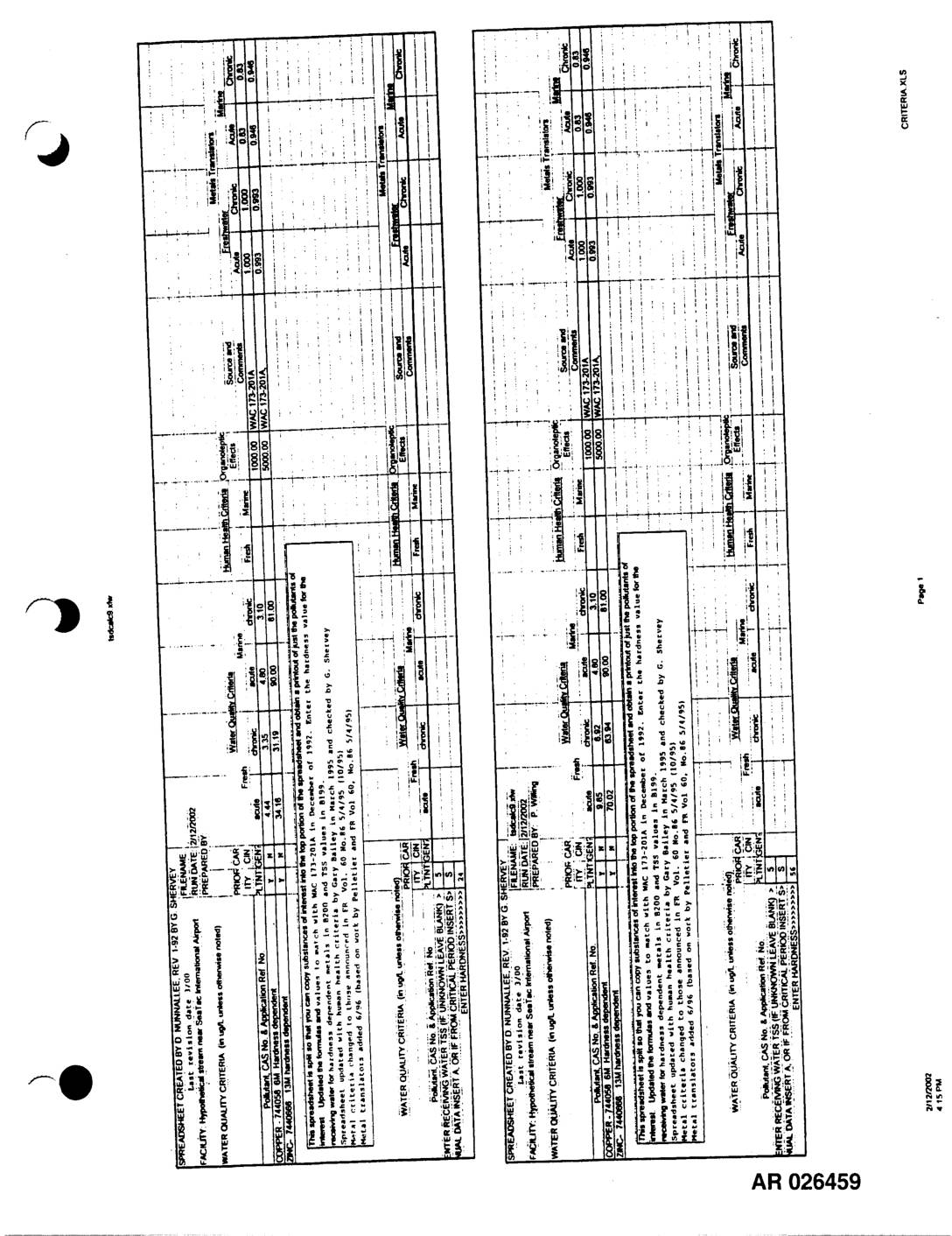
Exhibit 717: Annual Stormwater Monitoring Report for Seattle-Tacoma International Airport, July 1998–June 1999
Annual Stormwater Monitoring Report for Seattle-Tacoma International Airport (Sea-Tac Airport) covering July 1, 1998 through June 30, 1999, prepared by Port Of Seattle, September 1999 (AR 026459–AR 026461). Includes stormwater quality data tables for outfalls SDE4, SDS3, SDN1, and SDN4 with copper (CAS No. 7440-50-8) concentration measurements in micrograms per liter, hardness-dependent freshwater acute water -
 1999-08-23
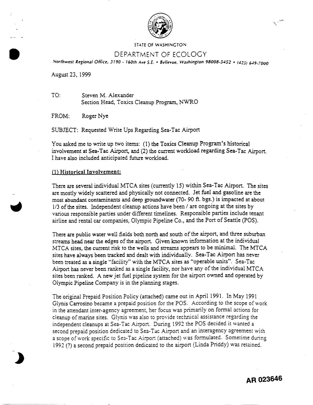
EXH AR023646: Ecology Internal Memo — Toxics Cleanup Program History & Workload at STIA
This 1999 internal memo from the Washington State Department of Ecology details the history of environmental cleanup oversight at Seattle-Tacoma International Airport, where 15 separate contaminated sites involving jet fuel and gasoline were managed individually under the state's Model Toxics Control Act. The memo describes a series of prepaid staff positions funded by the Port of Seattle to coordinate cleanup efforts with airline and pipeline companies, and the challenges in getting formal Agreed Orders signed. It concludes with an update that a key groundwater study Agreed Order was finally signed in May 1999 after receiving over 600 public comments in opposition. -
 1999-08-14
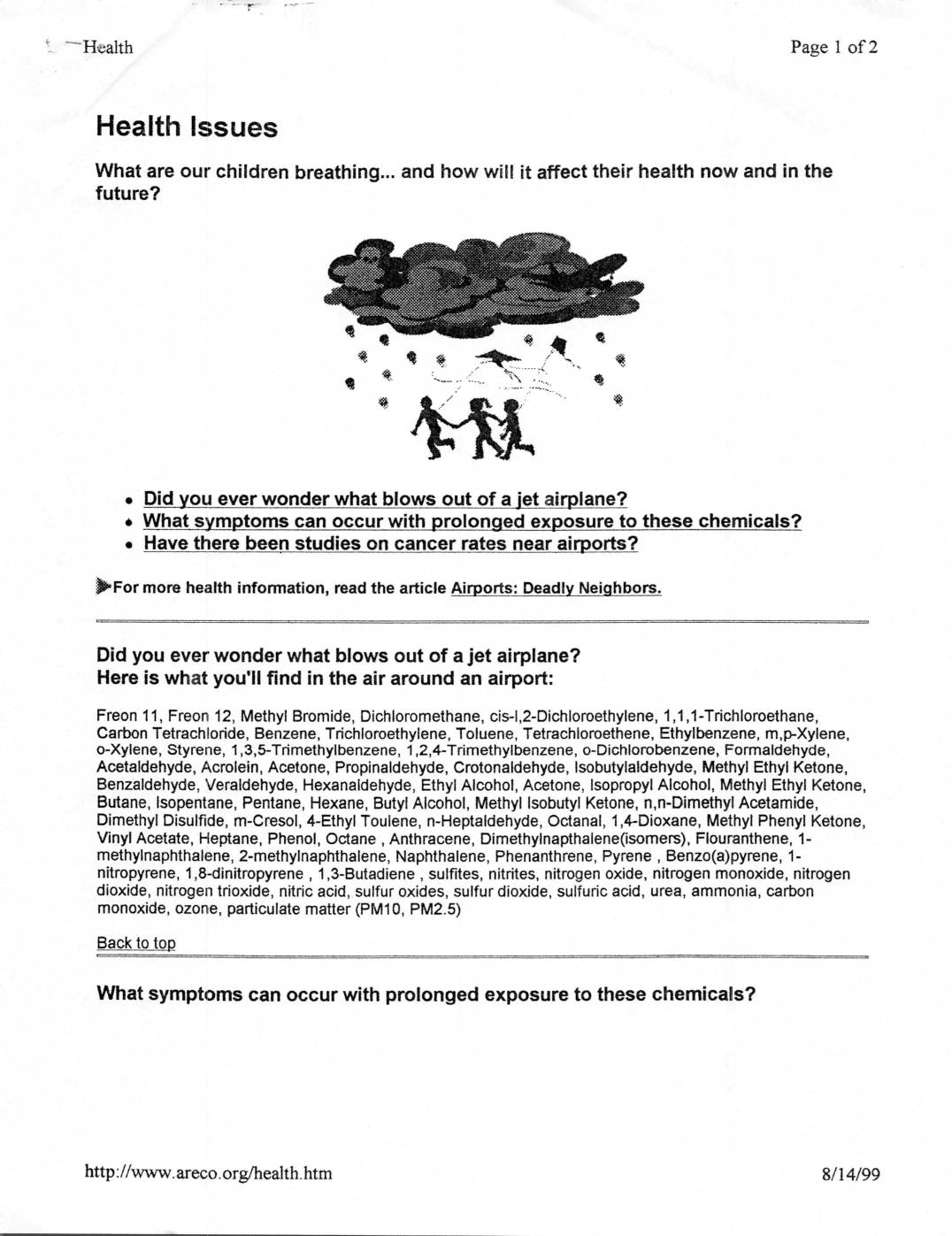
Health issues: What are our children breathing… and how will it affect their health now and in the future?
This 1999 health advocacy article raises concerns about air quality near airports, listing dozens of toxic chemicals found in jet exhaust — including benzene, formaldehyde, and 1,3-butadiene — and the serious health conditions linked to prolonged exposure, such as cancer, asthma, and lung disease. It references a 1993 EPA study of Midway Airport finding cancer risks more than 400 times the allowable federal limit, and cites Washington State health data showing elevated cancer rates and doubled rates of childhood respiratory disease near Seattle-Tacoma Airport and Boeing Field. The document was published by areco.org as part of a broader campaign highlighting the public health impacts of airport emissions on surrounding communities. -
 1999-08-12
EXH AR043187: Conceptual Flow Model Boundary Presentation — STIA Ground Water Study
Conceptual Flow Model Boundary Presentation for the Seattle-Tacoma International Airport (STIA) Ground Water Study, prepared by Associated Earth Sciences, Inc. and S.S. Papadopulos and Associates, Inc. for Port Of Seattle. Document AR043187 includes a Project Area Map (Figure 1, dated 08/03/99) showing the data collection boundary, Airport Operations and Maintenance Area (AOMA), wellhead protection delineation -
 1999-08-11
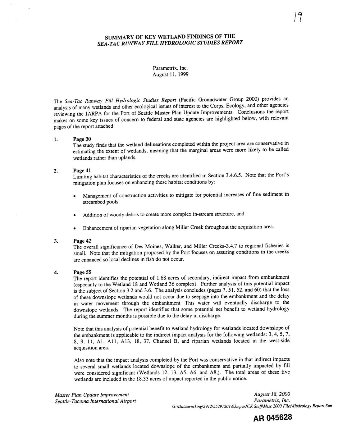
EXH AR045628: Summary of Key Wetland Findings of the Sea-Tac Runway Fill Hydrologic Studies Report
Parametrix, Inc. summary (August 11, 1999) of key wetland findings from the Sea-Tac Runway Fill Hydrologic Studies Report (Pacific Groundwater Group 2000), prepared for the Port Of Seattle Master Plan Update Improvements JARPA review. Covers wetland delineation conservatism, limiting habitat characteristics of Miller Creek, Walker Creek, and Des Moines Creek, salmonid habitat significance, indirect embankment