TagSea-Tac Airport(1855)
-
 1999-12-13
EXH 331: Letter to WA Dept of Ecology — MTCA Groundwater Study Potential Sites Table, STIA
A December 1999 letter from Port of Seattle Senior Environmental Program Manager Paul W. Agid to the Washington Department of Ecology transmits a 'potential sites' table and map identifying locations at Seattle-Tacoma International Airport where historical operations may have caused soil or groundwater contamination. The document, compiled in compliance with an Agreed Order under Washington's Model Toxics Control Act (MTCA), lists twelve potential sites including former gas stations, fuel tanks, hydrant lines, and maintenance areas. The sites were identified based on past operational activities that had since been discontinued or modified prior to current environmental regulations. -
 1999-12-02
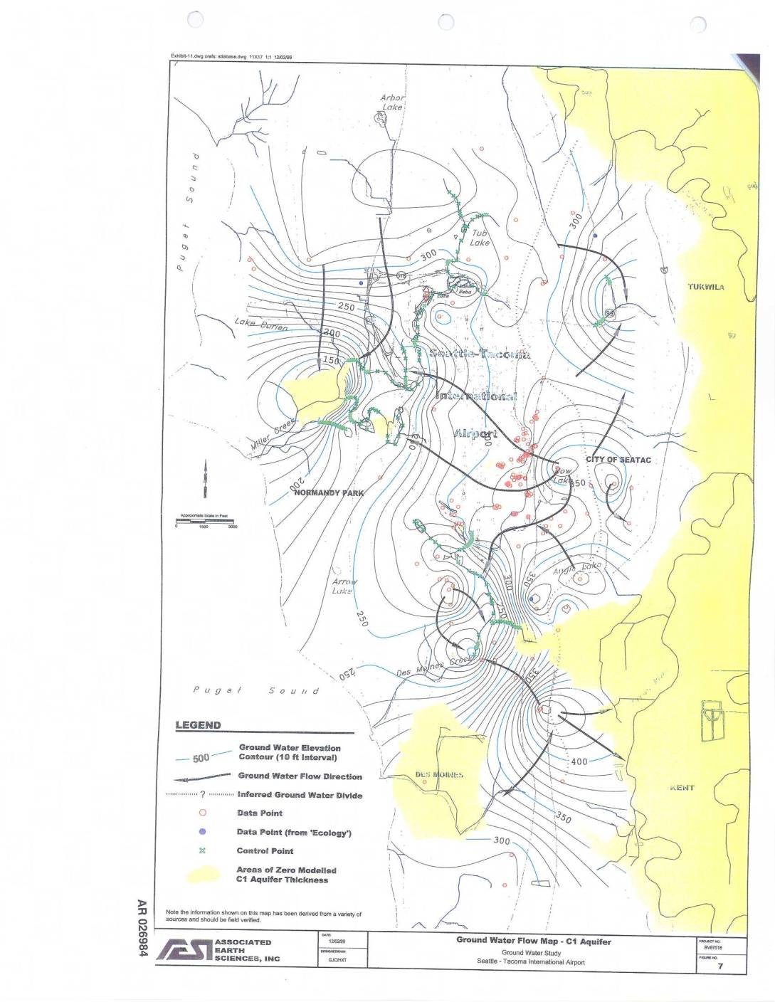
EXH AR026984: Ground Water Flow Map – C1 Aquifer, Ground Water Study, Seattle-Tacoma International Airport
Ground Water Flow Map for the C1 Aquifer prepared by Associated Earth Sciences, Inc. (project no. 8V07019, figure 7) as part of a Ground Water Study at Seattle-Tacoma International Airport, dated 12/02/99. The map covers the Sea-Tac Airport area including Normandy Park, City of SeaTac, Tukwila, Des Moines, and surrounding Puget Sound shorelines. Shows ground -
 1999-12-01
Addressing Community Health Concerns Around Sea-Tac Airport: Second Report on the Work Plan Proposed in August 1998
This December 1999 report from the Washington State Department of Health and Public Health – Seattle & King County examines community health concerns in neighborhoods surrounding SeaTac International Airport. It investigates whether cancer rates, particularly glioblastoma (a brain tumor) and breast cancer, are elevated near the airport, and explores potential links to jet engine exhaust emissions. The report also addresses respiratory health issues in local schools and outlines efforts to monitor or model the path of aircraft emissions over the surrounding communities. -
 1999-12-01
Addressing community health concerns around Sea-Tac Airport: Second report on the work plan proposed in August 1998
This December 1999 report from the Washington State Department of Health investigates community health concerns near Seattle-Tacoma (SeaTac) International Airport, focusing on whether cancer rates—particularly glioblastoma and breast cancer—are elevated in surrounding neighborhoods. The report examines potential links between jet engine exhaust emissions and health outcomes, reviews air quality studies, and assesses respiratory disease risks, especially for schools located under flight paths. It was prepared collaboratively by state and county public health officials alongside community representatives. -
 1999-11-30
EXH AR026502: Letter to Seattle Public Utilities — 4th Quarterly Stormwater Monitoring Results, NEPL, STIA
A November 30, 1999 letter from Port of Seattle's Aviation Project Management Group to Seattle Public Utilities reports the fourth and final quarterly stormwater monitoring results for the Sea-Tac Airport North Employees' Parking Lot (NEPL). Testing of water samples collected throughout 1999 found pollutant levels—including metals, hydrocarbons, and suspended solids—well below Washington State residential water supply standards. Based on these results, the Port proposed ending the monitoring program and invited the City of Seattle to confer on whether further monitoring was warranted under their Interlocal Agreement. -
 1999-11-29
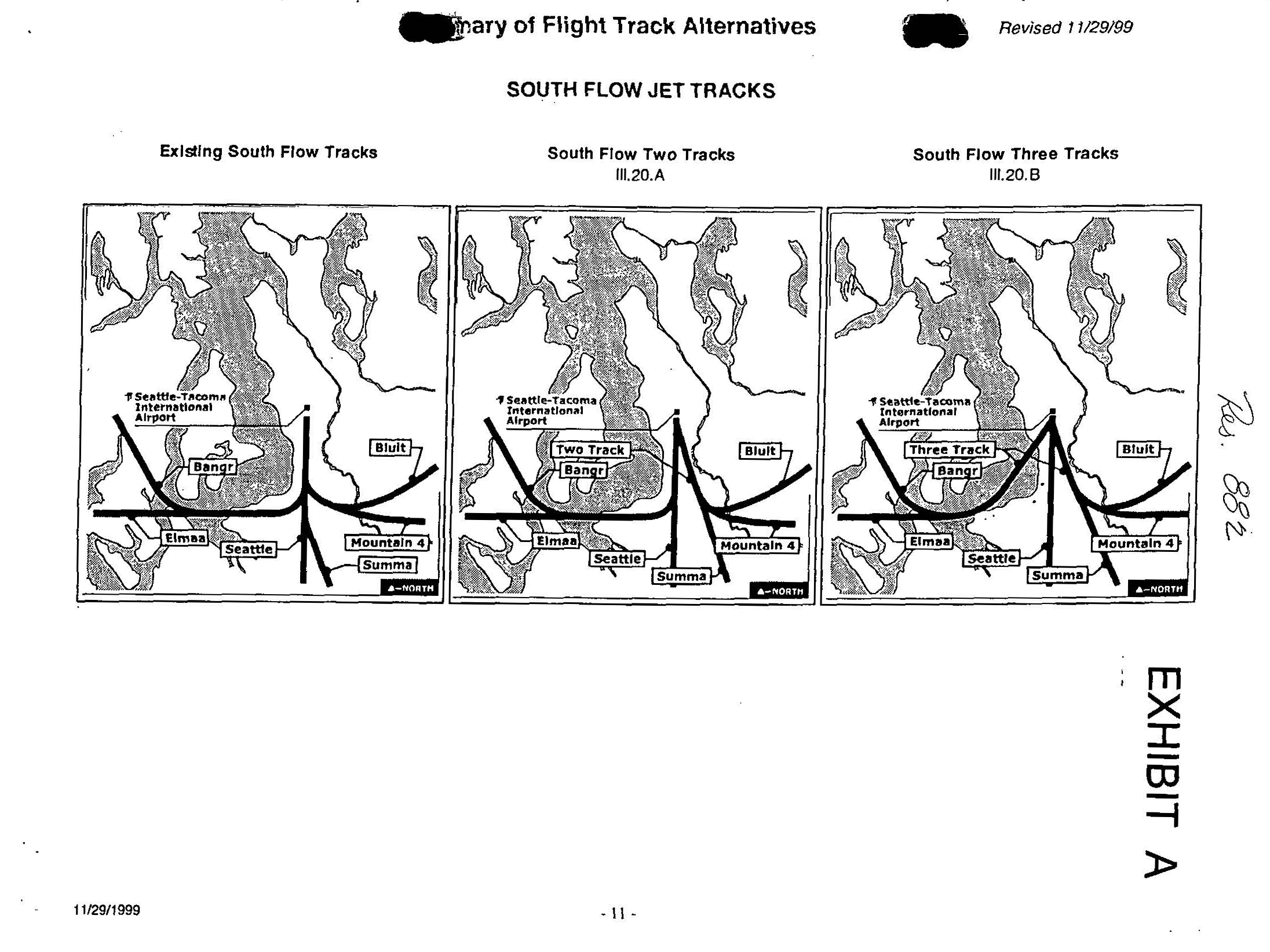
Des Moines Resolution No. 882 Exhibit A: South Flow Two Tracks Flight Track Alternative Maps
A page from a document titled 'Summary of Flight Track Alternatives,' revised 11/29/1999, showing three maps comparing South Flow Jet Track options for Seattle-Tacoma International Airport: Existing South Flow Tracks, South Flow Two Tracks (III.20.A), and South Flow Three Tracks (III.20.B). The maps display named waypoints including Bangr, Bluit, Elmaa, Seattle, Mountain 4, and Summa, and the document is marked as Exhibit A. -
 1999-11-29
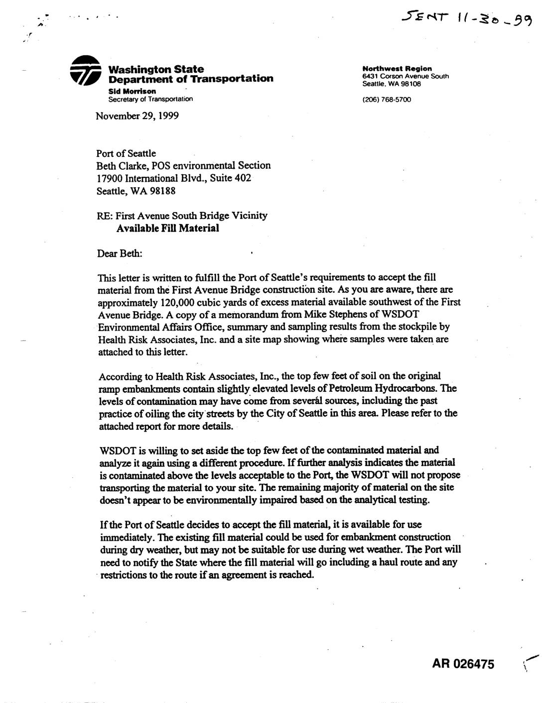
EXH AR026475: WSDOT Letter — Available Fill Material, First Ave S Bridge Construction Site
In November 1999, the Washington State Department of Transportation (WSDOT) wrote to the Port of Seattle offering approximately 120,000 cubic yards of excess fill material from the First Avenue South Bridge construction site for use in the Sea-Tac Airport third runway project. While most of the material was found to be environmentally sound, the top few feet of soil showed slightly elevated levels of petroleum hydrocarbons, which WSDOT offered to retest using a different procedure before any transfer. The Port was asked to confirm environmental acceptability and provide a haul route before an agreement could be finalized. -
 1999-11-15
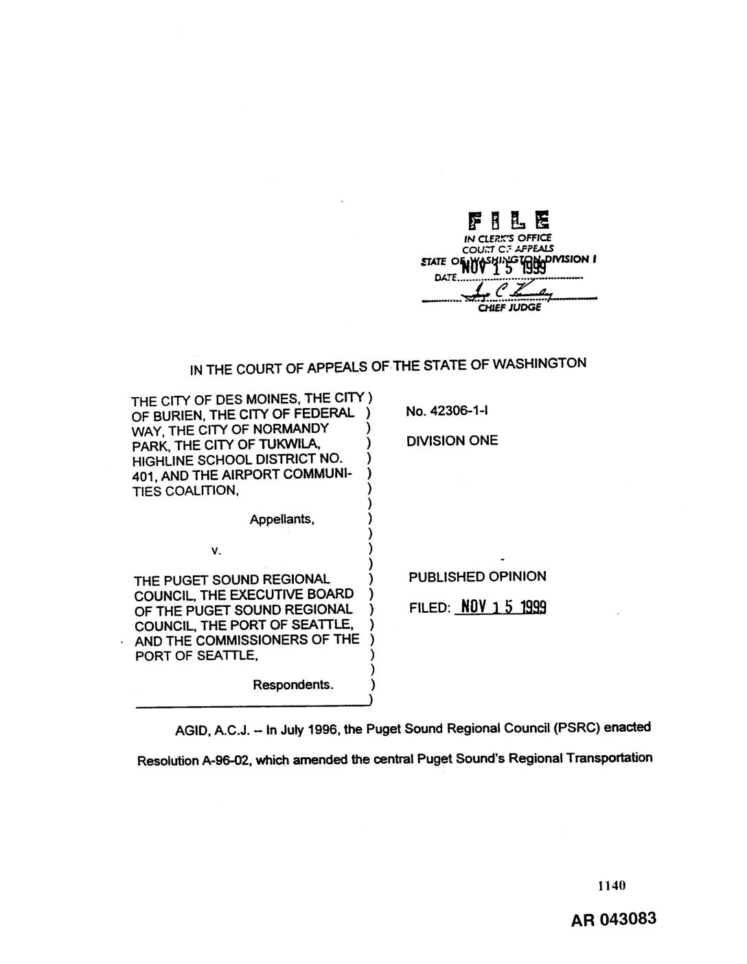
EXH AR043083: City of Des Moines et al. v. Puget Sound Regional Council — Court of Appeals Opinion No. 42306-1-I
Washington Court of Appeals Division One published opinion (No. 42306-1-I, filed November 15, 1999) in City of Des Moines, City of Burien, City of Federal Way, City of Normandy Park, City of Tukwila, Highline School District No. 401, and Airport Communities Coalition v. Puget Sound Regional Council, Executive Board of PSRC, Port of Seattle, and -
 1999-10-08
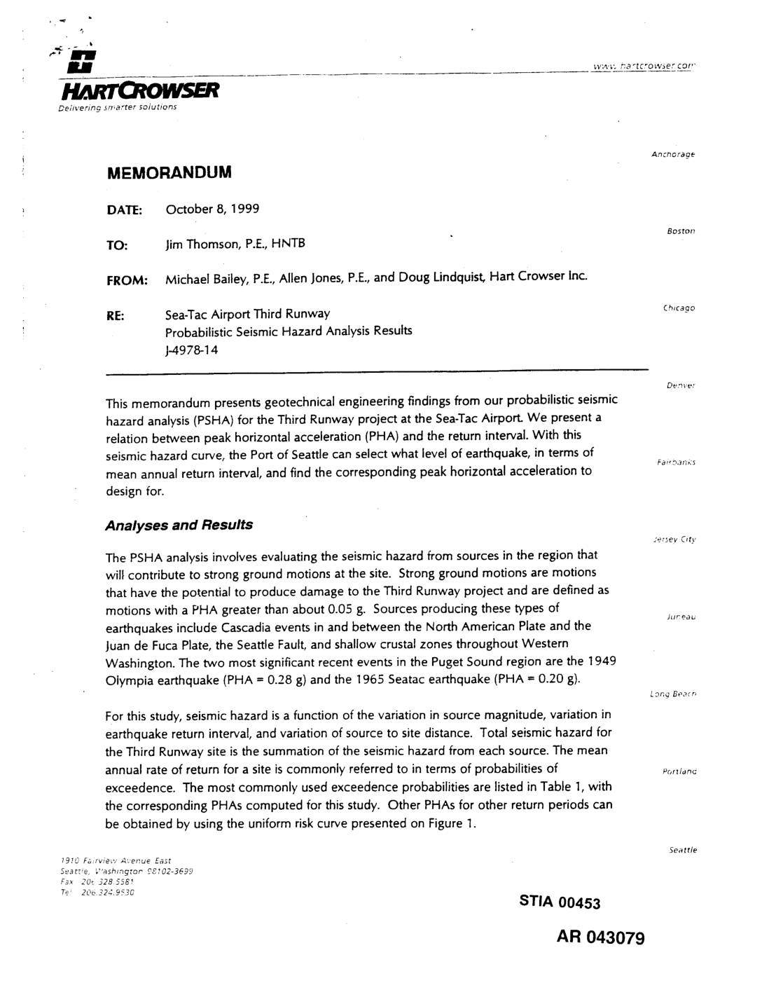
EXH AR043079: Hart Crowser Memorandum — Sea-Tac Airport Third Runway Probabilistic Seismic Hazard Analysis Results
Hart Crowser memorandum from Michael Bailey, Allen Jones, and Doug Lindquist to Jim Thomson (HNTB), dated October 8, 1999, presenting probabilistic seismic hazard analysis (PSHA) results for the Sea-Tac Airport Third Runway project (J-4978-14). Reports peak horizontal acceleration (PHA) values for common design return intervals: 0.16 g (72-year), 0.36 g (475-year), 0.47 g (975-year), and -
 1999-09-24
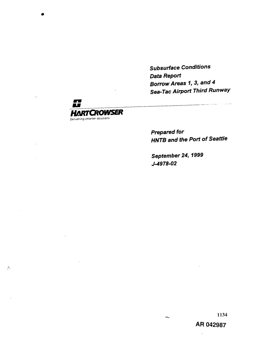
EXH AR042987: Subsurface Conditions Data Report, Borrow Areas 1, 3, and 4, Sea-Tac Airport Third Runway
Hart Crowser subsurface conditions data report (project J-4978.02) prepared for HNTB and Port Of Seattle, dated September 24, 1999, covering Borrow Areas 1, 3, and 4 for the Sea-Tac Airport Third Runway project. Report includes generalized geologic conditions, subsurface soil conditions, hydrogeologic regime, groundwater elevation data, and perched water-bearing zone analysis. Field explorations used dual-wall