TagSea-Tac Airport(1855)
-
 2000-12-07
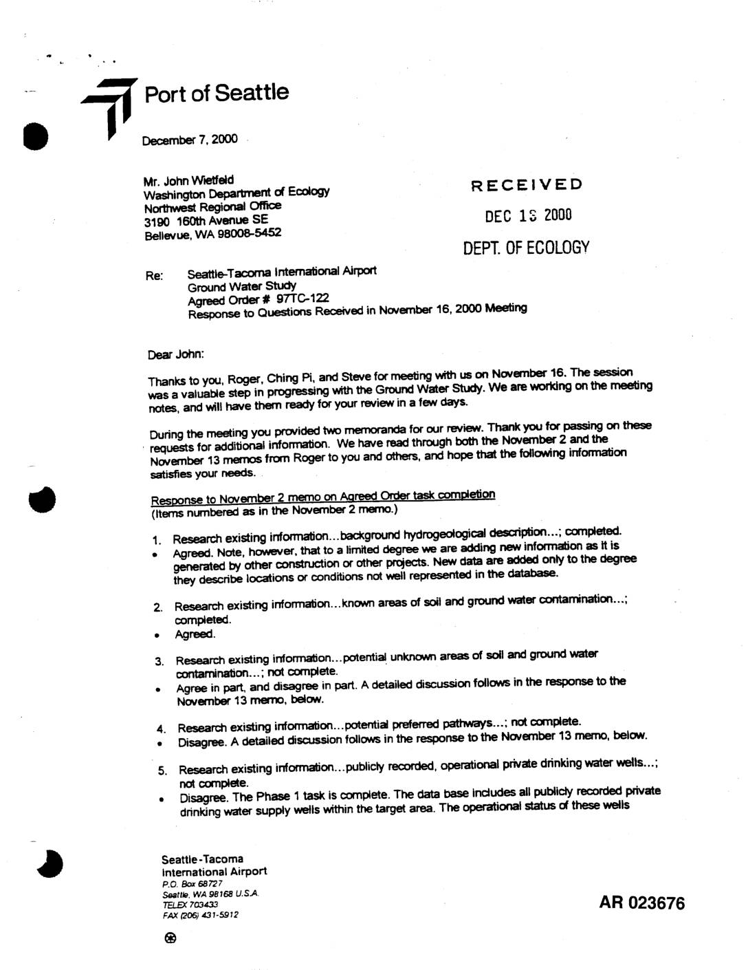
EXH AR023676: Letter to Ecology — STIA Ground Water Study, Agreed Order 97TC-122, Response to Nov 16 2000 Meeting Questions
A December 7, 2000 letter from the Port of Seattle to the Washington Department of Ecology responds to questions raised at a November 16, 2000 meeting regarding the Seattle-Tacoma International Airport Ground Water Study conducted under Agreed Order #97TC-122. The letter addresses the completion status of various research tasks, including hydrogeological surveys, contamination site identification, groundwater flow modeling, and pollution prevention for underground storage tank systems. The Port agrees with some of Ecology's assessments of incomplete tasks while disputing others, and clarifies its position on the scope of work required under the agreement. -
 2000-12-04
EXH AR049659: Geotechnical Engineering Analyses and Recommendations — Third Runway Embankment, Sea-Tac Airport
Hart Crowser draft geotechnical engineering report (J-4978-28) prepared for HNTB, December 4, 2000, addressing the Third Runway embankment at Seattle-Tacoma International Airport, SeaTac, Washington. Covers embankment fill materials, slope stability analyses, foundation instability, subgrade improvements, liquefaction analysis (175-year and 475-year seismic events), FLAC deformation modeling, MSE walls (North Satellite Area, West, South), Phase 4 fill, -
 2000-12-01
EXH AR047400: Wetland Delineation Report, Master Plan Update Improvements, Seattle-Tacoma International Airport
Wetland Delineation Report prepared by Parametrix, Inc. for Port Of Seattle, Seattle-Tacoma International Airport (Sea-Tac Airport), December 2000, project number 556-2912-001 (41). Report covers wetland delineation for Master Plan Update Improvements including North Employee Parking Lot, Runway Safety Area Extension, Third Runway project area, Borrow Areas 1 and 3, South Aviation Support Area (SASA)/Tyee Valley -
 2000-12-01
EXH AR048122: Wetland Functional Assessment and Impact Analysis, Master Plan Update Improvements, Sea-Tac Airport
Wetland Functional Assessment and Impact Analysis prepared by Parametrix, Inc. for Port Of Seattle, Seattle-Tacoma International Airport, December 2000 (project number 556-2912-001). AR 048122. Covers wetland delineation, functional assessment, and impact analysis for Master Plan Update Improvements including Runway Safety Areas, relocation of South 154th Street, new Third Runway, borrow areas, and South Aviation Support -
 2000-12-01
EXH AR043961: Port Of Seattle Seattle-Tacoma Airport Master Plan Update Low Streamflow Analysis
Low Streamflow Analysis prepared by Earth Tech, Inc. for Port Of Seattle as part of the Seattle-Tacoma Airport Master Plan Update, dated December 2000. AR 043961. Report covers existing streamflow conditions, watershed modeling of current and proposed conditions, hydrologic behavior of runway fill, changes in non-hydrologic flows, effects of secondary recharge, reserved stormwater release, and -
 2000-12-01
EXH AR048591: Natural Resource Mitigation Plan, Master Plan Update Improvements, STIA
Final Natural Resource Mitigation Plan prepared by Parametrix, Inc. for Port Of Seattle, Seattle-Tacoma International Airport Master Plan Update Improvements, December 2000 (AR 048591, project 556-2912-001). Covers wetland delineation and descriptions, Miller Creek Basin, Des Moines Creek Basin, Gilliam Creek, South Aviation Support Area (SASA), runway safety area extensions, South 154th Street relocation, on-site borrow -
 2000-12-01
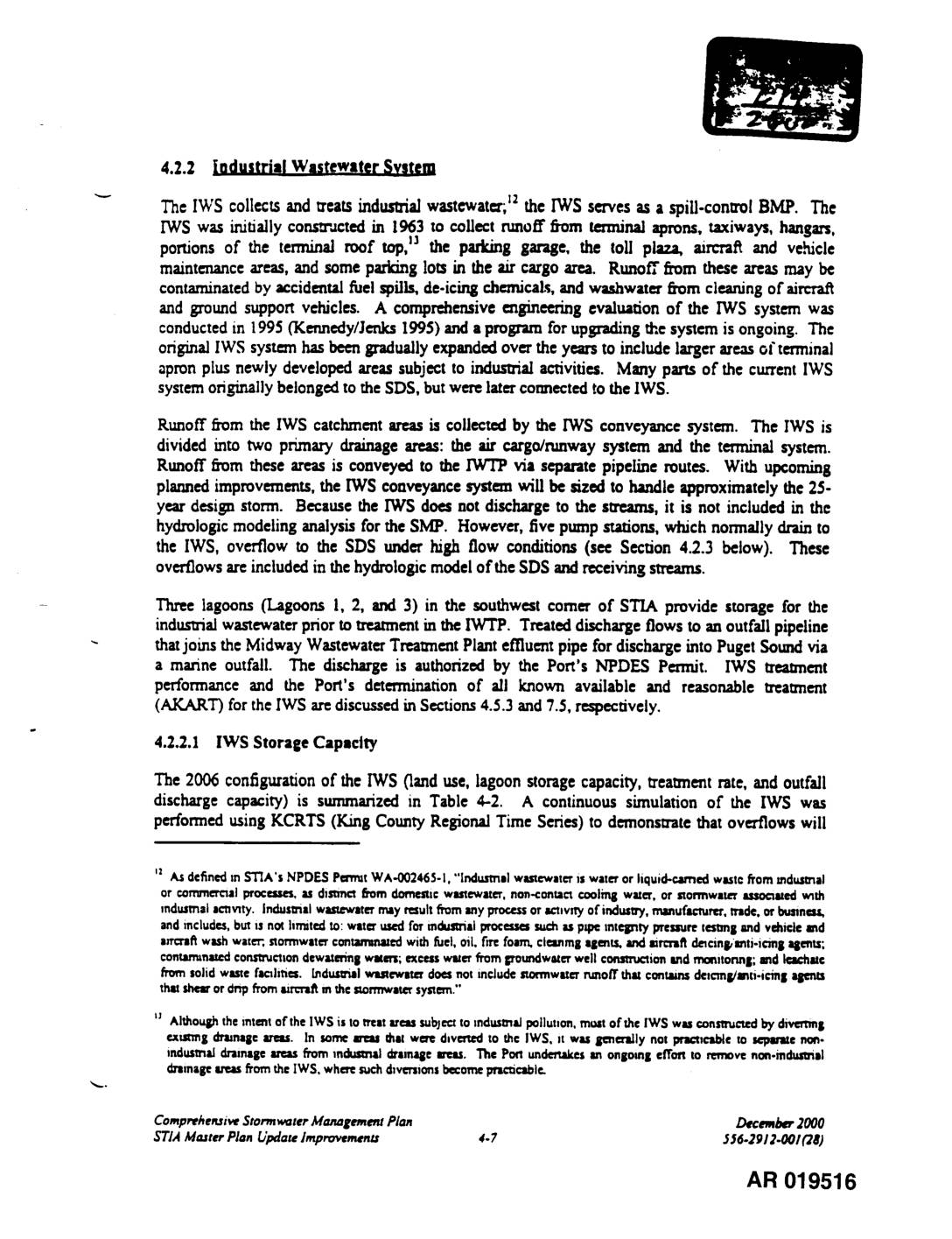
EXH AR019516: STIA Comprehensive Stormwater Management Plan §4.2.2 Industrial Wastewater System
The Industrial Wastewater System (IWS) at Seattle-Tacoma International Airport was built in 1963 to collect and treat runoff from airport aprons, taxiways, hangars, and maintenance areas that may be contaminated by fuel spills, de-icing chemicals, and aircraft wash water. The system channels wastewater through two main drainage areas to an on-site treatment plant, with treated water ultimately discharged into Puget Sound under an NPDES permit. Ongoing upgrades aim to expand the system's capacity to handle a 25-year design storm event. -
 2000-12-01
EXH AR049528: Port Of Seattle Seattle-Tacoma Airport Master Plan Update Low Streamflow Analysis
Low Streamflow Analysis prepared by Earth Tech, Inc. for Port Of Seattle as part of the Seattle-Tacoma Airport Master Plan Update, dated December 2000. Report covers existing streamflow conditions, watershed modeling of current and proposed conditions, hydrologic behavior of runway fill, non-hydrologic flows, secondary recharge effects, reserved stormwater release, and summary of low streamflow effects -
 2000-12-01
EXH 413: Comprehensive Stormwater Management Plan STIA Master Plan Update Improvements App A §§2.6–2.7 Airport Fill Parameter Calibration
This technical document describes hydrological modeling conducted for the Seattle-Tacoma International Airport (Sea-Tac) Master Plan Update, focusing on stormwater runoff analysis for Des Moines Creek, Miller Creek, and Walker Creek subbasins. It details the calibration of computer models using rainfall and evaporation data spanning October 1948 through September 1996, along with parameters for airport embankment fill materials. The analysis was used to evaluate future stormwater detention facility requirements associated with airport expansion projects, including the Third Runway. -
 2000-12-01
Exhibit 41: STIA Comprehensive Stormwater Management Plan — SDS Water Quality Section 4.5.2
Section 4.5.2 of the Comprehensive Stormwater Management Plan for STIA Master Plan Update Improvements, December 2000, Port of Seattle. Documents stormwater quality monitoring data from SDS outfalls (1994–2000) under NPDES Permit requirements. Table 4-8 compares STIA runoff quality against regional and national urban stormwater benchmarks including Bellevue Sturtevant Creek, Bellevue Urban Runoff Program (BURP), King