TagParking(20)
-
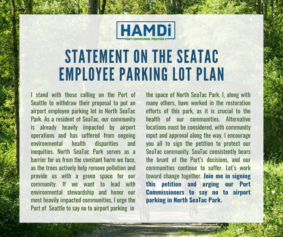
Hamdi Campaign Statement Opposing NSTP Employee Parking Lot
A campaign statement from Hamdi, candidate for Port Commission Position 3, opposing the Port of Seattle's proposal to build an airport employee parking lot in North SeaTac Park. The statement cites environmental health disparities in the SeaTac community, highlights the park's role in reducing pollution, and calls on supporters to sign a petition urging Port Commissioners to reject the plan. -
 2021-09-09
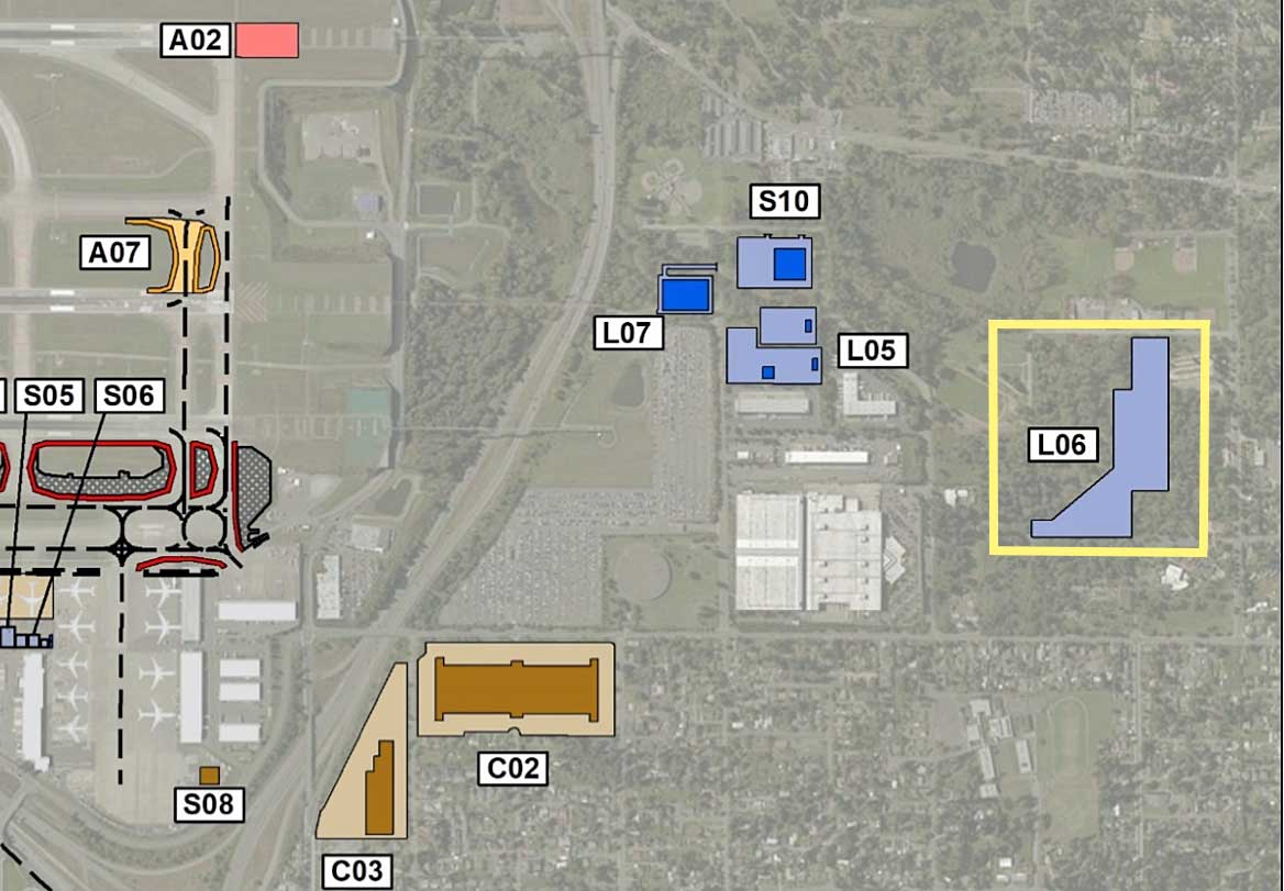
Sea-Tac Airport Parking Lot L06 Site Map
An aerial map overlay showing labeled parcels or project zones (A02, A07, S05, S06, S08, S10, L05, L06, L07, C02, C03) near what appears to be a major airport, with color-coded polygons indicating different land use or development categories. Zone L06 is highlighted with a yellow border, suggesting it is a focus area in this planning or noise-policy document. -
 2020-05-29
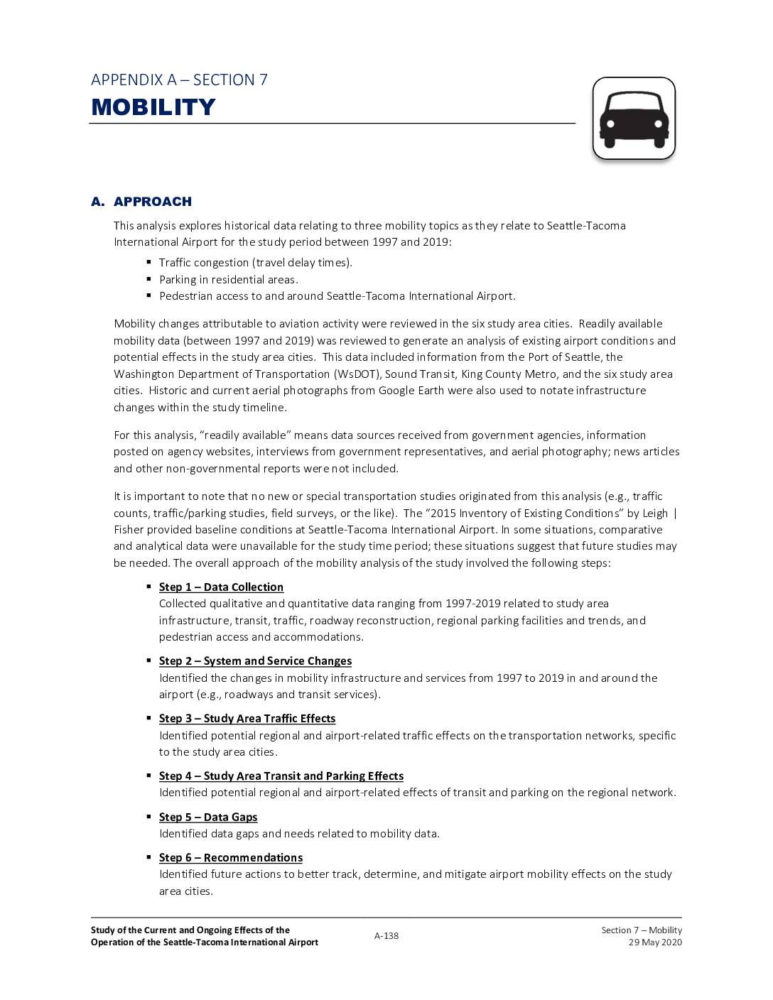
Sea-Tac Airport Communities Impact Study: Appendix A, Section 7 – Mobility
This 2020 report examines how Seattle-Tacoma International Airport has affected mobility in surrounding communities between 1997 and 2019, focusing on traffic congestion, residential parking, and pedestrian access. It documents major infrastructure changes such as the 2010 consolidation of rental car facilities to an off-site location 1.5 miles from the terminal and the expansion of the main parking garage from 10,000 to roughly 13,000 spaces. The analysis draws on data from government agencies including the Port of Seattle, WsDOT, Sound Transit, and King County Metro to identify transportation impacts and recommend future tracking measures. -
 2018-10-01
Sea-Tac International Airport Airport Tariff No. 1: Naming rates and charges for use of airport facilities and services
This document is the Sea-Tac International Airport Tariff No. 1, originally issued by the Port of Seattle Commission in 1980 and effective January 1, 1981, with subsequent revisions through 2018. It outlines the rates and charges for use of airport facilities and services, covering areas such as landing fees, airline charges, parking, ground transportation, utilities, security, and various violation fines. The tariff serves as the official schedule of fees governing commercial and operational activities at Seattle-Tacoma International Airport. -
 2015-11-18
City of Burien: Economic Development Presentation
A November 18, 2015 City of Burien presentation outlines five priority economic development actions approved by the city council, including developing a Burien brand identity, conducting a parking and mobility study, attracting a hotel, assessing business impediments, and supporting business retention and recruitment. The presentation also covers projects currently in development within the city. -
 2001-06-22
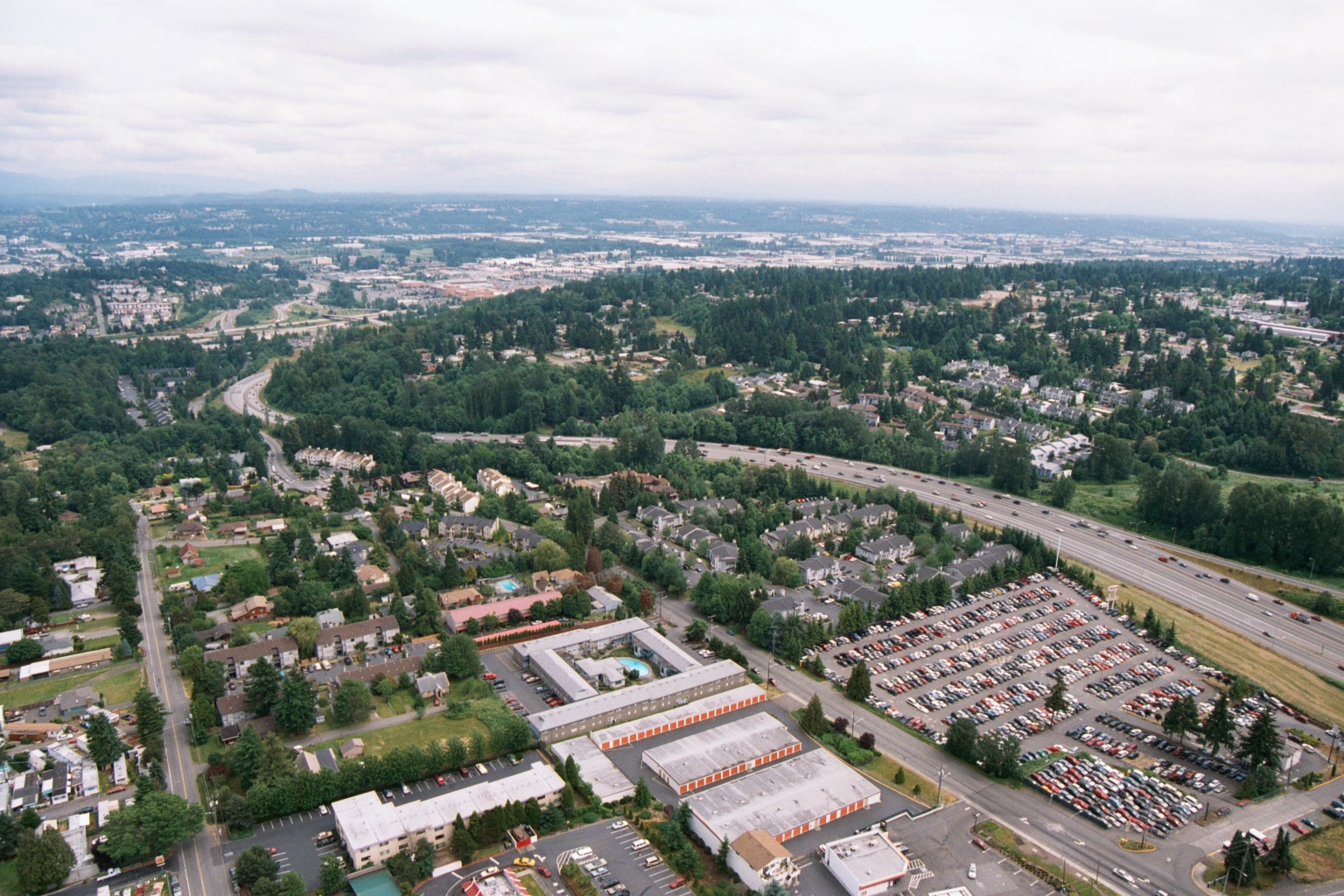
Aerial View of Suburban Residential and Commercial Area Near Sea-Tac Airport
Aerial photograph showing a suburban residential and commercial area bisected by a multi-lane interstate highway, consistent with the greater Seattle/Sea-Tac region based on the Pacific Northwest vegetation, terrain, and urban development patterns. Visible features include a Public Storage facility (identifiable by orange-and-white branding), large parking lots, apartment complexes, and dense evergreen tree coverage stretching toward the horizon. -
 1995-04-20
City of Normandy Park letter to Port Of Seattle re: DEIS – Sea-Tac International Airport Hotel
In April 1995, the City of Normandy Park submitted formal comments to the Port of Seattle opposing the proposed Sea-Tac International Airport Hotel, raising concerns that the project would increase traffic congestion and reduce parking availability for local, tax-paying air travelers. The city criticized the Draft Environmental Impact Statement (DEIS) for proposing only 15 new parking spaces to serve a 16-story, 384-room hotel that could generate demand for up to 323 garage spaces at peak periods. The city recommended either no action or a smaller-scale hotel alternative that would fully accommodate its own parking needs without negatively impacting existing airport users. -
 1991-01-01
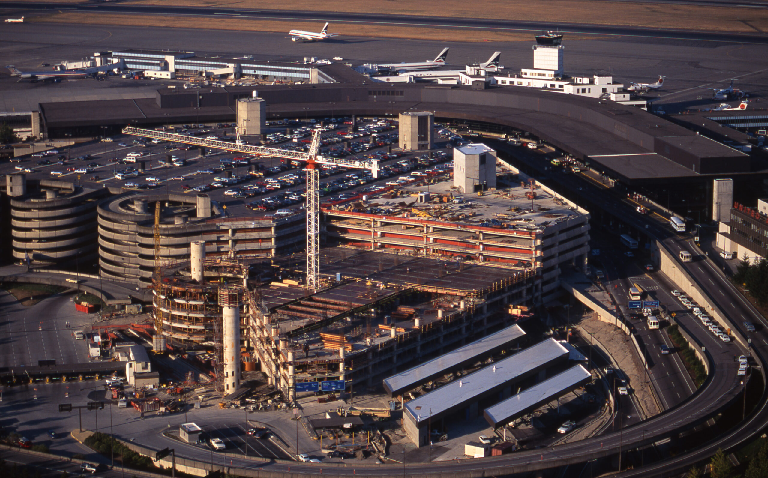
Sea-Tac Airport Terminal and Parking Garage Construction, 1991
An aerial photograph shows active construction of a multi-story parking garage and terminal expansion at Seattle-Tacoma International Airport, with a tower crane visible on site. The existing curved terminal building, a spiral parking structure, aircraft at gates, and the air traffic control tower are visible in the background. -
 1981-01-01
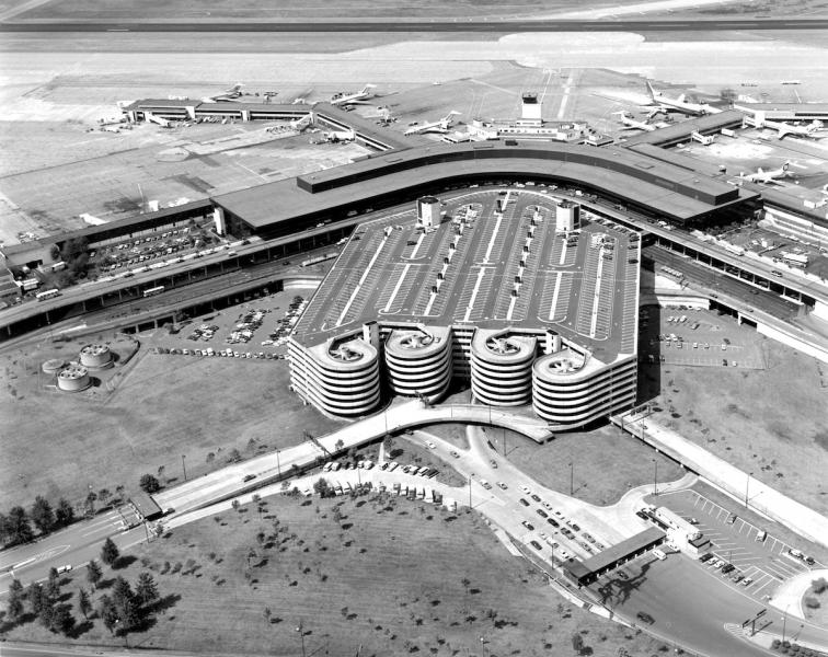
Sea-Tac Parking Lot
Black-and-white aerial photograph showing a large airport terminal building with a curved roofline, multi-level parking garage with circular ramp towers, and numerous propeller and early jet aircraft at gates. No visible text, logos, or captions are present to confirm the specific airport or date. -
 1977-01-01
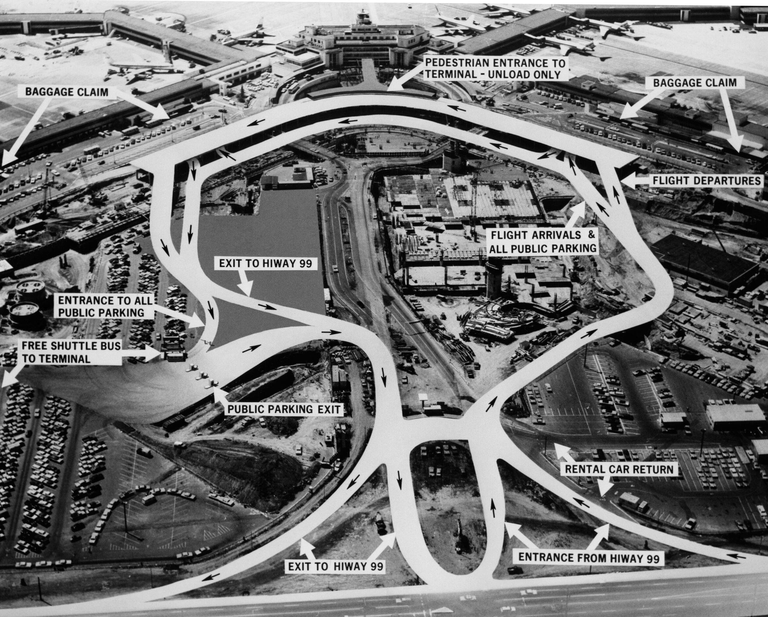
Sea-Tac access road patterns
An annotated aerial photograph of Seattle-Tacoma International Airport showing vehicular traffic flow patterns, with labeled destinations including Baggage Claim, Flight Arrivals, Flight Departures, Rental Car Return, Public Parking entrances and exits, and connections to Highway 99. A free shuttle bus service to the terminal from public parking lots is also indicated.