TagNoise Mitigation(218)
-
 2020-02-26
Port Commission approves acceleration of noise insulation efforts for airport communities – The Waterland Blog
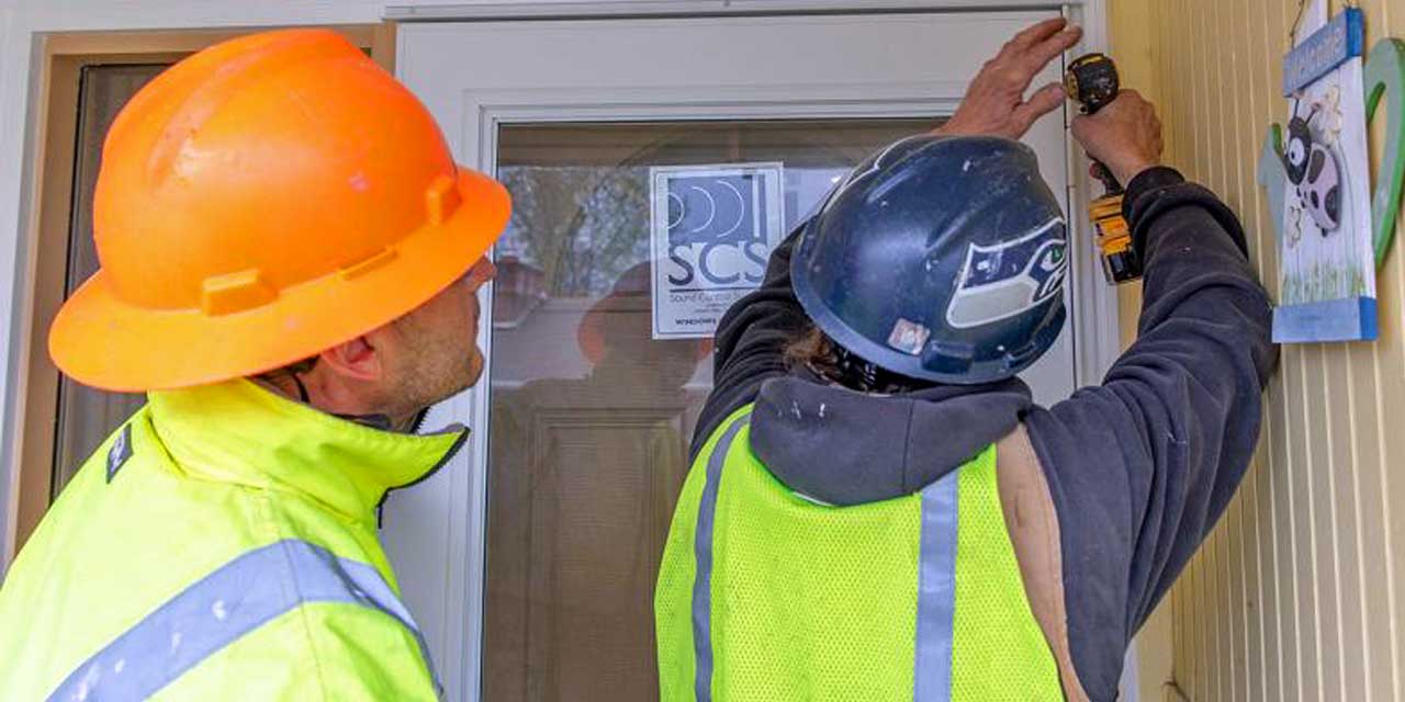
The Port of Seattle Commission this week approved the acceleration of sound insulation projects for homes, apartments, condominiums and places of worship in airport communities to be completed in less than half its current schedule. The faster noise reduction benefits near Seattle-Tacoma International Airport will cover projects originally not expected to be complete for another -
2020-02-25
Port Of Seattle Announces Noise Program Expansion 2026
Today’s Port Of Seattle General Meeting had the most significant news about Port Packages we have ever seen. If you are concerned about airport noise issues this will matter to you whether you have a Port Package or not. As background, I strongly encourage you to look at the presentation by Noise Program Manager Stan -
 2020-02-25
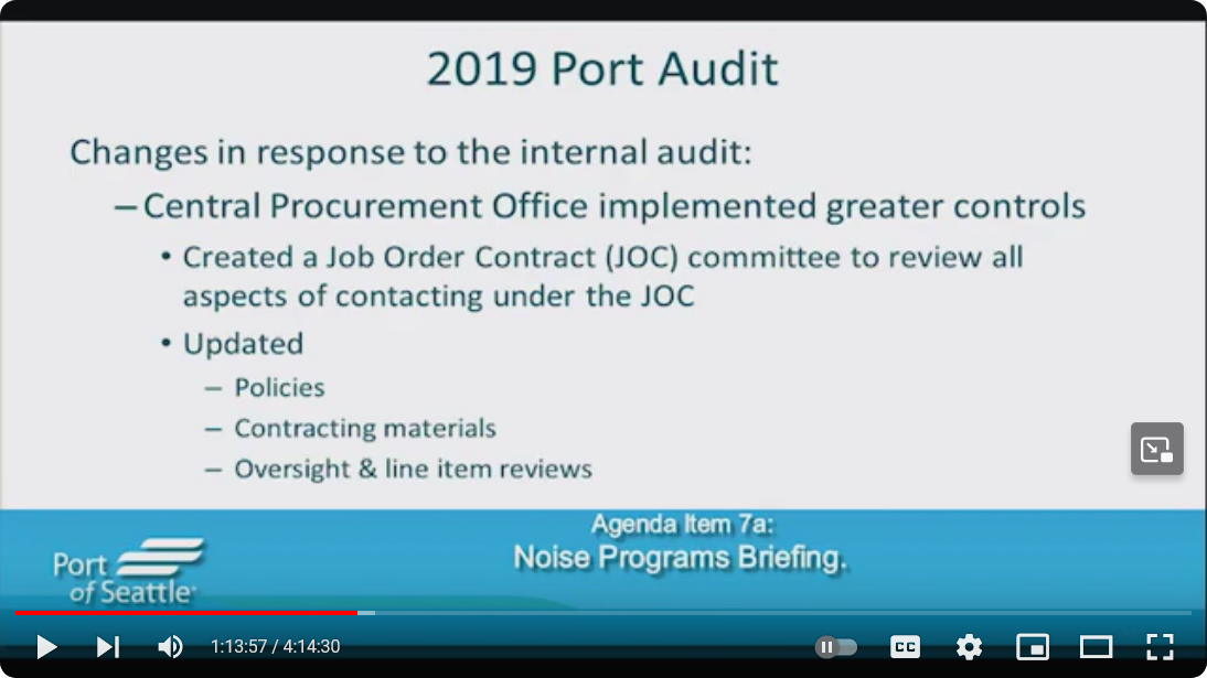
2019 Port audit from February 25, 2020 Commission Meeting
A Port of Seattle presentation slide titled '2019 Port Audit' outlines changes made in response to an internal audit, including the Central Procurement Office implementing greater controls: creation of a Job Order Contract (JOC) committee and updates to policies, contracting materials, and oversight and line item reviews. The slide appears at timestamp 1:13:57 of a 4:14:30 video under Agenda Item 7a: Noise Programs Briefing. -
 2020-02-25
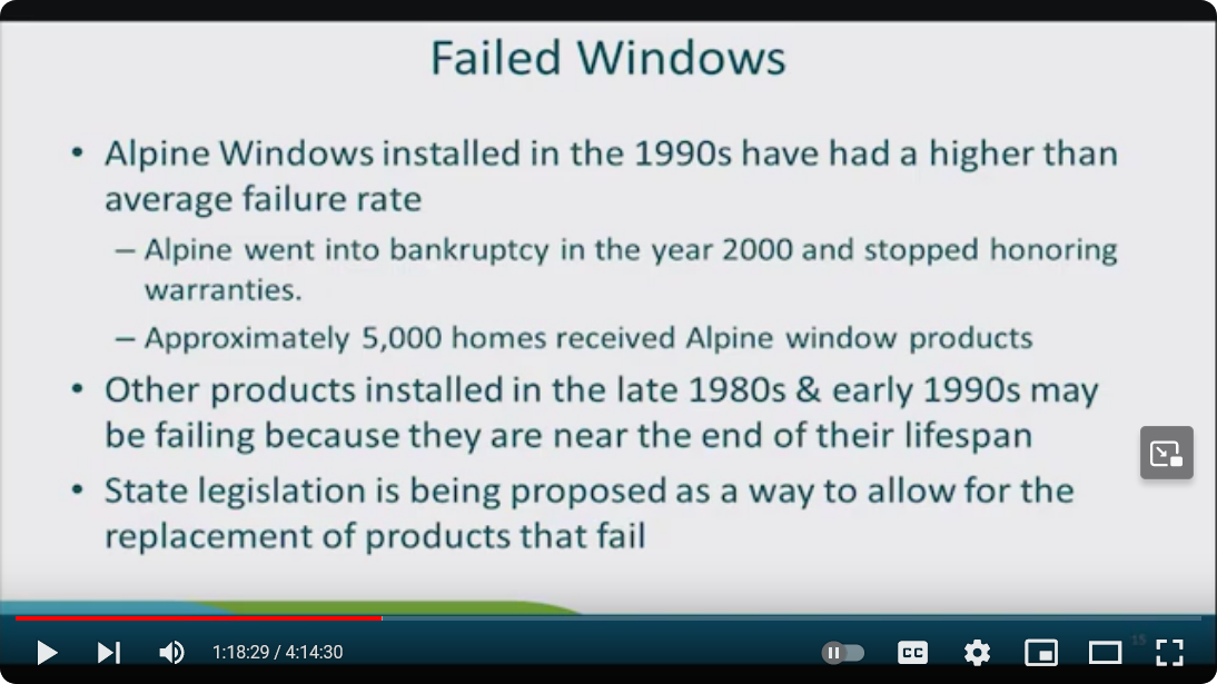
Failed windows
A presentation slide titled 'Failed Windows' states that Alpine Windows installed in the 1990s had a higher than average failure rate, that Alpine went bankrupt in 2000 and stopped honoring warranties, and that approximately 5,000 homes received Alpine window products. The slide also notes that other products from the late 1980s and early 1990s may be failing due to end-of-lifespan issues, and that state legislation is being proposed to allow replacement of failed products. -
HR 5874 – Decrease Noise Levels Act
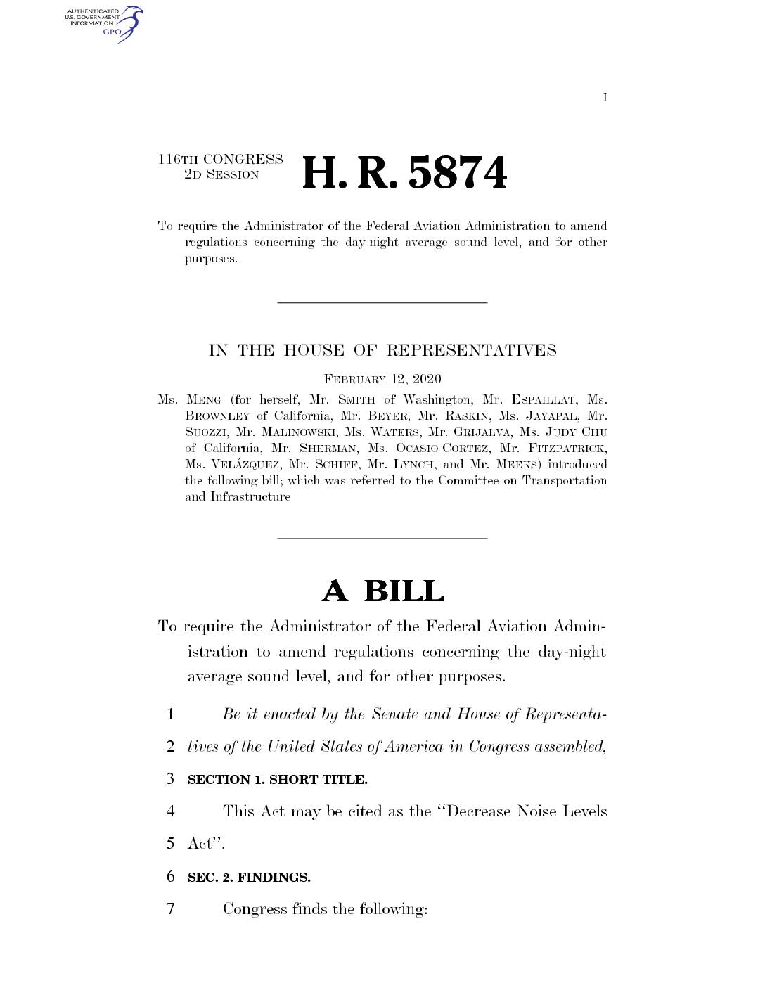
116th CONGRESS 2d Session H. R. 5874 To require the Administrator of the Federal Aviation Administration to amend regulations concerning the day-night average sound level, and for other purposes. IN THE HOUSE OF REPRESENTATIVES February 12, 2020 Ms. Meng (for herself, Mr. Smith of Washington, Mr. Espaillat, Ms. Brownley of California, Mr. Beyer, Mr. -
 2020-02-12
H.R. 5874 – Decrease Noise Levels Act
H.R. 5874, the 'Decrease Noise Levels Act,' introduced in February 2020, would require the FAA to lower the threshold for significant aircraft noise from a day-night average sound level of 65 to 60 decibels. The bill also directs the FAA to publish a public report within one year outlining a strategy to further reduce residential noise levels to 55 decibels over the following decade. Additionally, it mandates that community outreach efforts include evaluations of alternative noise measurement metrics beyond the current standard. -
 2019-10-22
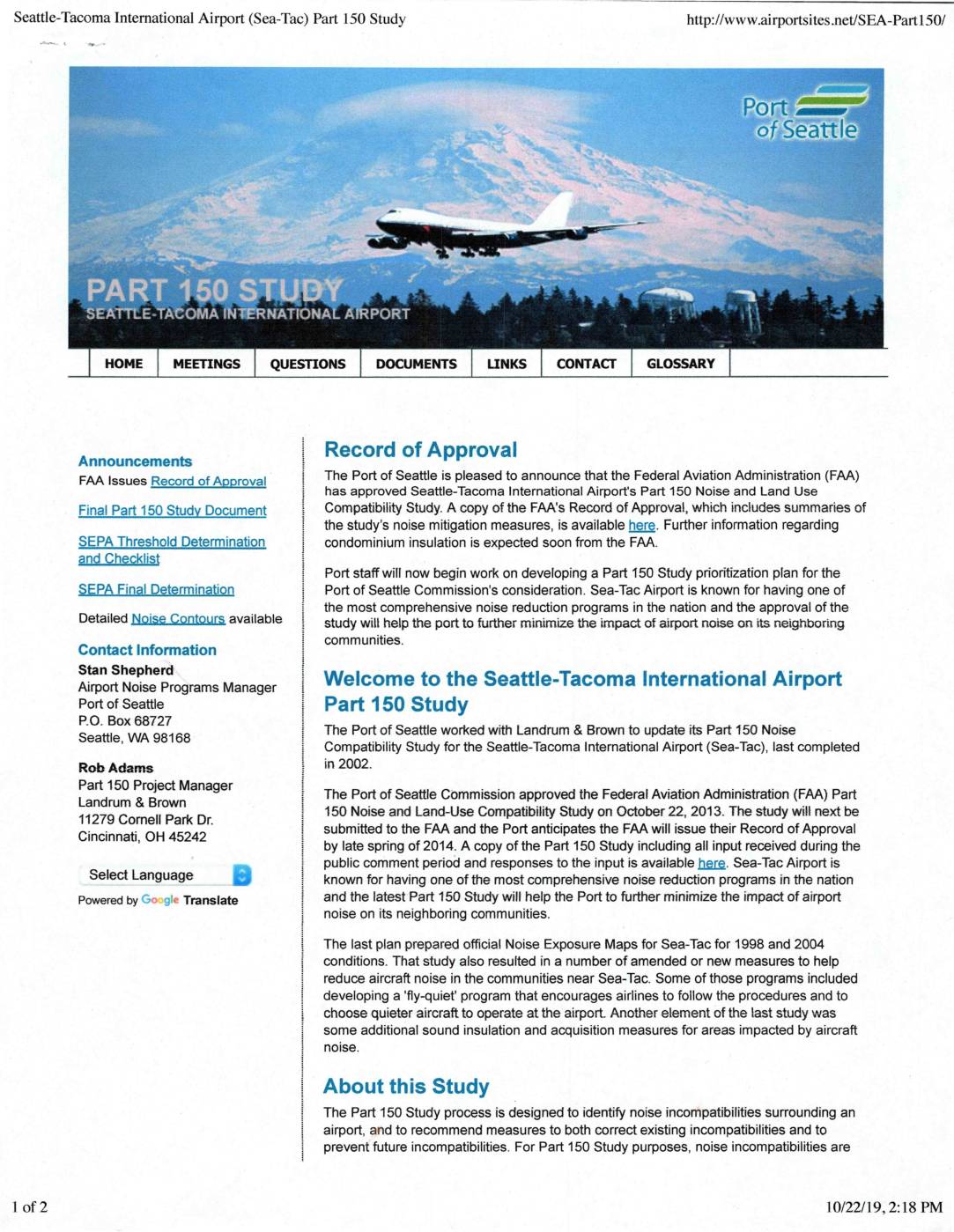
Seattle-Tacoma International Airport (Sea-Tac) Part 150 Study
The Port of Seattle completed an updated Part 150 Noise and Land Use Compatibility Study for Seattle-Tacoma International Airport (Sea-Tac), which was approved by the Port of Seattle Commission in October 2013 and subsequently received a Record of Approval from the Federal Aviation Administration (FAA). The study identifies noise incompatibilities in communities surrounding Sea-Tac and recommends measures to reduce aircraft noise, building on earlier programs such as a 'fly-quiet' initiative and sound insulation efforts. Sea-Tac is recognized as having one of the most comprehensive airport noise reduction programs in the nation, and this updated study is intended to further minimize the impact of aircraft noise on neighboring communities. -
A Letter To Commissioner Stephanie Bowman Re. Noise Program Audits
Ms. Bowman is currently President of the Port Of Seattle Commission. This letter is in reply to a request she made concerning my Public Comment at the 24 September General Meeting. (See video starting @ 33:30). Well this is a pleasant surprise. :DI am actually working up a (short) summary on the practicalities which I’ll -
 2019-08-20
Overview: The Aviation Impacted Communities Act
The Aviation Impacted Communities Act establishes a structured process to help neighborhoods affected by aircraft noise, starting with the FAA identifying eligible communities and ending with grants for noise mitigation. A community qualifies as 'aviation impacted' if it is located within 1 mile of any point where a commercial or cargo jet route passes at or below 3,000 feet above ground level. Once designated, communities can form boards, conduct studies, and develop action plans to address aviation-related impacts near airports like Sea-Tac. -
 2019-08-20
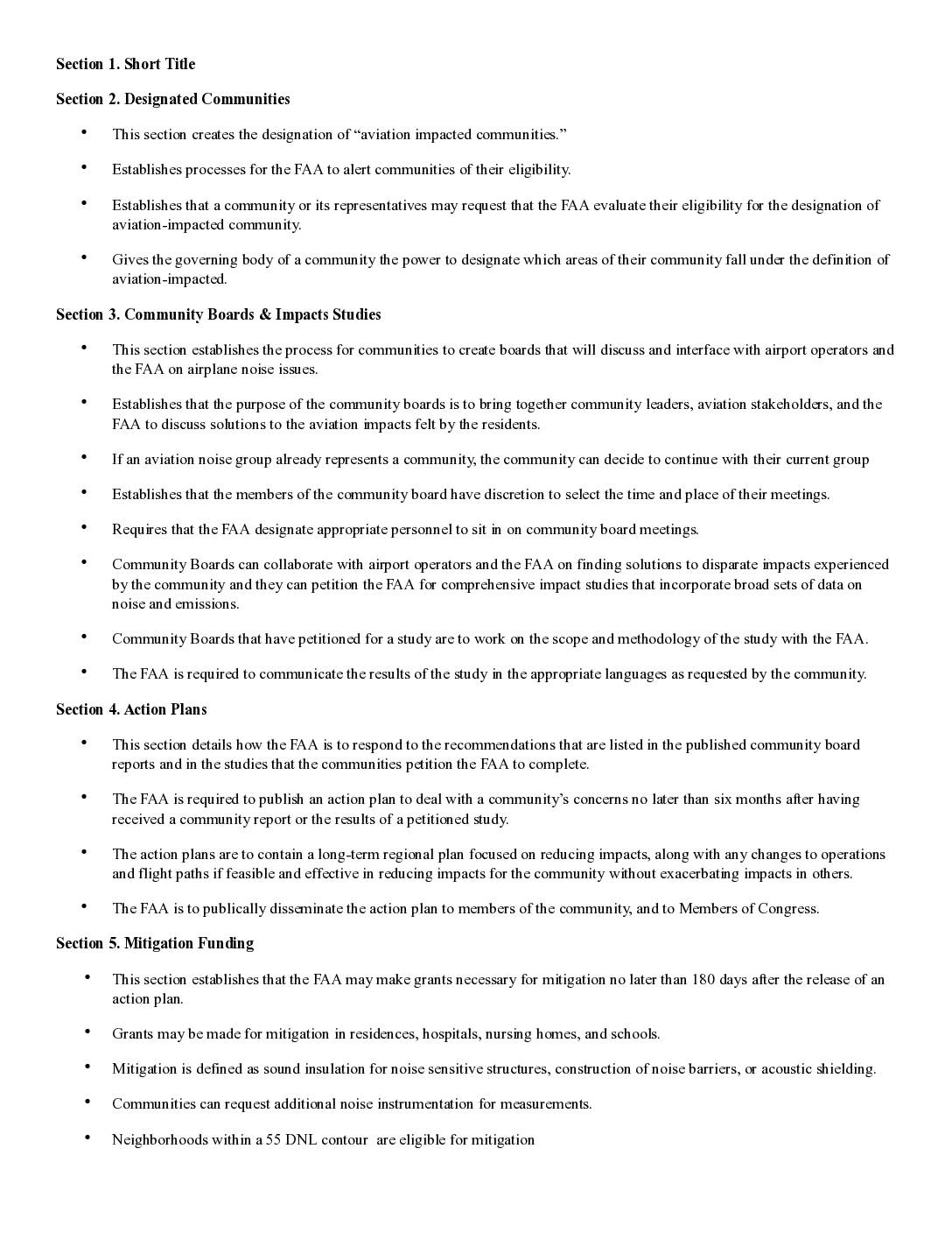
Airport Impacted Communities Act: Section-by-Section Summary
This legislative summary outlines a proposed bill aimed at protecting communities affected by airport noise and aviation emissions. It establishes a formal designation for 'aviation-impacted communities' located within one mile of low-flying commercial or cargo jet routes, creates local community boards to engage with the FAA and airport operators, and requires the FAA to develop action plans and provide mitigation funding — such as sound insulation and noise barriers — for affected residences, schools, hospitals, and nursing homes.