TagLand Use(212)
-
 2001-06-22
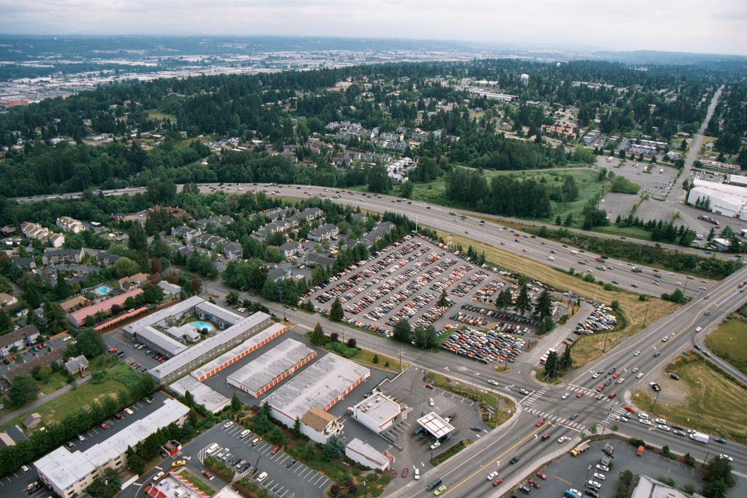
Aerial View of Public Storage Facility, Apartments, and Freeway in South King County
Aerial photograph showing a suburban landscape with a large self-storage facility bearing orange-and-white unit doors (consistent with Public Storage branding), adjacent apartment complexes, a used car lot, and a multi-lane freeway. The density of conifers, road layout, and general development pattern are consistent with the greater Sea-Tac/South King County, Washington area. -
 2001-06-22
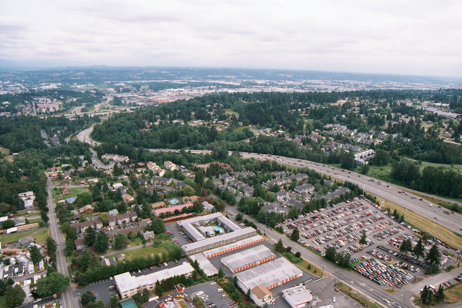
Aerial View of Suburban Residential and Commercial Area Near Sea-Tac Airport
Aerial photograph showing a suburban residential and commercial area bisected by a multi-lane interstate highway, consistent with the greater Seattle/Sea-Tac region based on the Pacific Northwest vegetation, terrain, and urban development patterns. Visible features include a Public Storage facility (identifiable by orange-and-white branding), large parking lots, apartment complexes, and dense evergreen tree coverage stretching toward the horizon. -
 1998-12-30
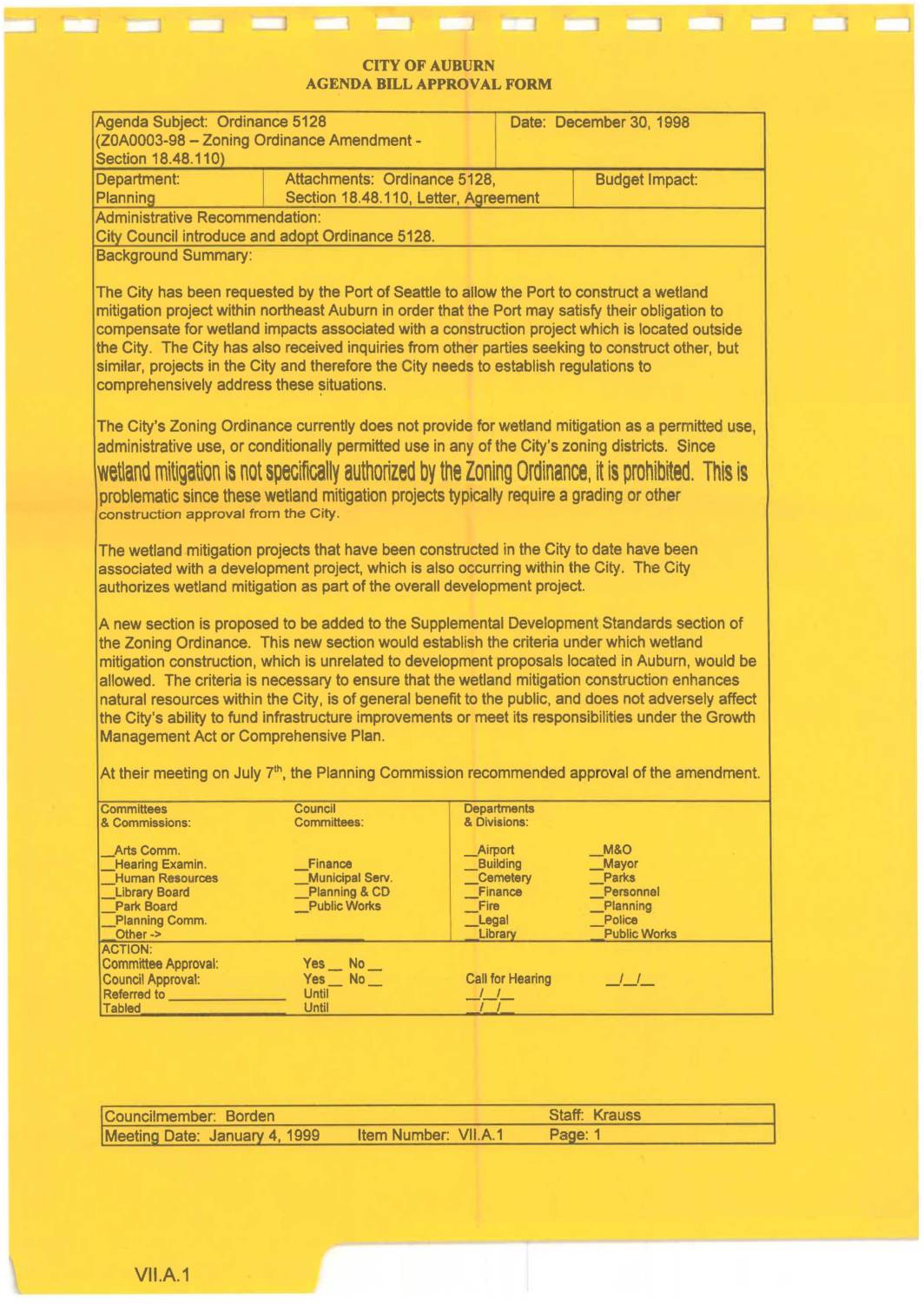
Auburn City Council Ordinance 5128 – Wetland
The City of Auburn agenda bill requesting City Council adoption of Ordinance 5128, which amends the Zoning Ordinance to add Section 18.48.110 establishing criteria for wetland mitigation construction unrelated to development projects within Auburn. The amendment was prompted by a request from the Port of Seattle to construct a wetland mitigation project in northeast Auburn -
 1997-11-01
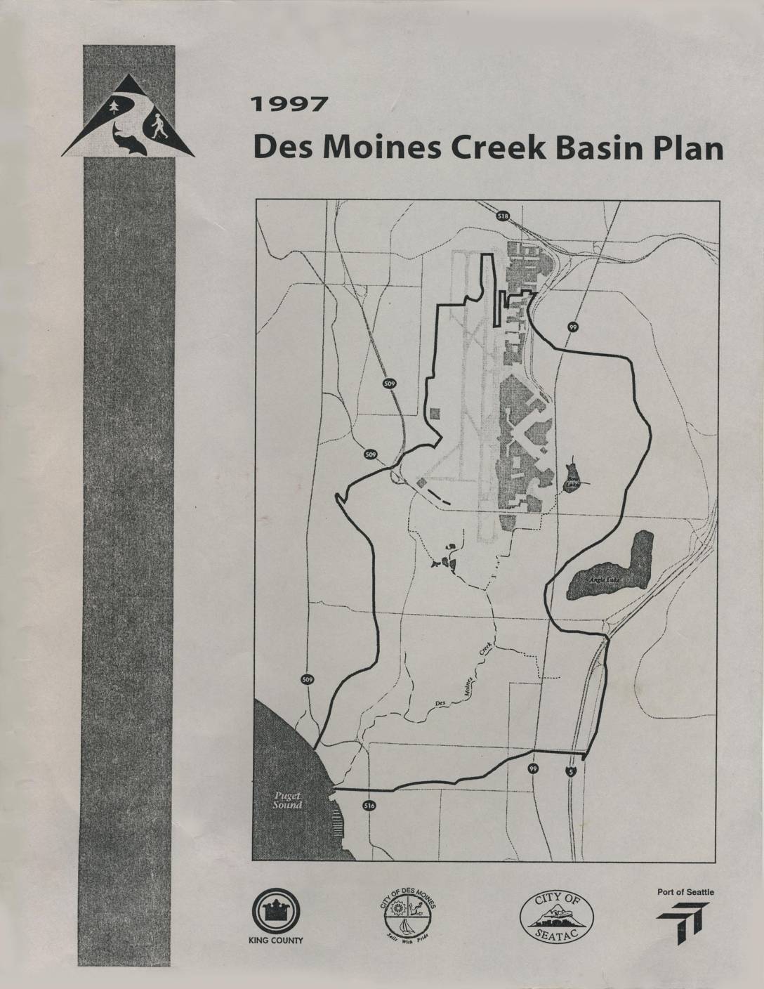
Des Moines Creek Basin Plan
The 1997 Des Moines Creek Basin Plan is a collaborative watershed management document produced by the City of SeaTac, City of Des Moines, Port of Seattle, and King County. It addresses stormwater, drainage, and environmental conditions within the Des Moines Creek basin, an area significantly influenced by Sea-Tac Airport and surrounding urban development. The plan establishes coordinated strategies among the four jurisdictions to manage water quality and flooding in this shared watershed. -
 1997-07-01
PSRC Property Acquisition Financial Feasibility Study
A study commissioned by the Puget Sound Regional Council to assess the financial feasibility of establishing a funding mechanism for acquiring and redeveloping properties adversely impacted by regionally significant essential public facilities. The study examines case study areas near the Auburn Rail Yard, Sea-Tac International Airport, and the proposed Everett 112th Street SE HOV Lanes -
 1997-05-01
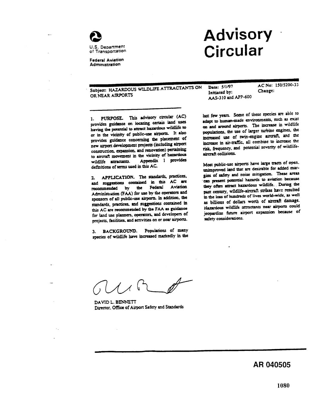
EXH AR1080: Advisory Circular AC 150/5200-33 — Hazardous Wildlife Attractants On or Near Airports
FAA Advisory Circular AC 150/5200-33, dated 5/1/97, initiated by AAS-310 and APP-600, signed by David L. Bennett, Director of Office of Airport Safety and Standards. Provides guidance on locating land uses that attract hazardous wildlife to or near public-use airports. Covers siting criteria: 5,000 feet separation for piston-powered aircraft airports, 10,000 feet for turbine-powered aircraft -
 1997-05-01
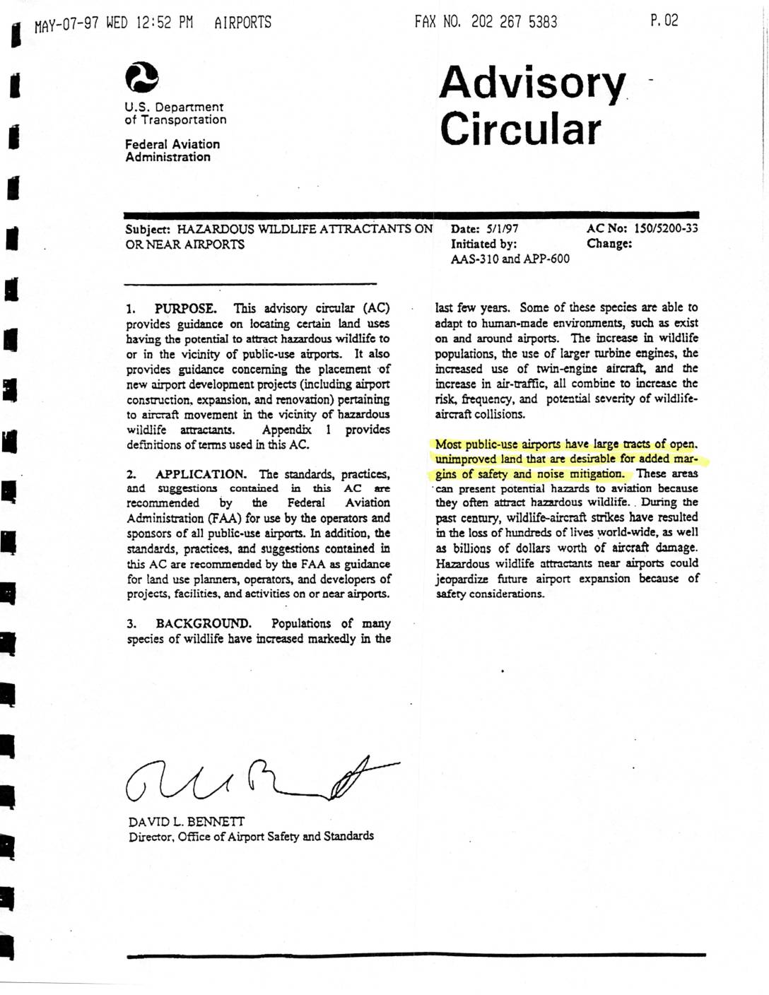
Advisory circular: Hazardous wildlife attractants on or near airports
This 1997 FAA Advisory Circular provides guidance on identifying and managing land uses near public airports that attract hazardous wildlife, such as waste disposal sites, wastewater treatment facilities, and wetlands. It recommends minimum separation distances — 5,000 feet for piston-powered aircraft airports and 10,000 feet for turbine-powered aircraft airports — between wildlife attractants and aircraft movement areas. The document notes that gulls, waterfowl, and raptors are among the most common wildlife involved in damaging aircraft strikes, and urges airport operators, land use planners, and developers to avoid practices that increase wildlife hazards near airports. -
Port of Seattle and Puget Sound Council of Governments launch Flight Plan study on May 23, 1989.
By Walt Crowley (with research by Daryl McClary and Paula Becker) Posted 3/21/2003 HistoryLink.org Essay 4199 On May 23, 1989, the Port of Seattle and Puget Sound Council of Governments (PSCOG), reorganized in 1991 as the Puget Sound Regional Council, sign an Interagency Agreement to launch the “Flight Plan” study of future air service capacity needs -
 1987-12-08
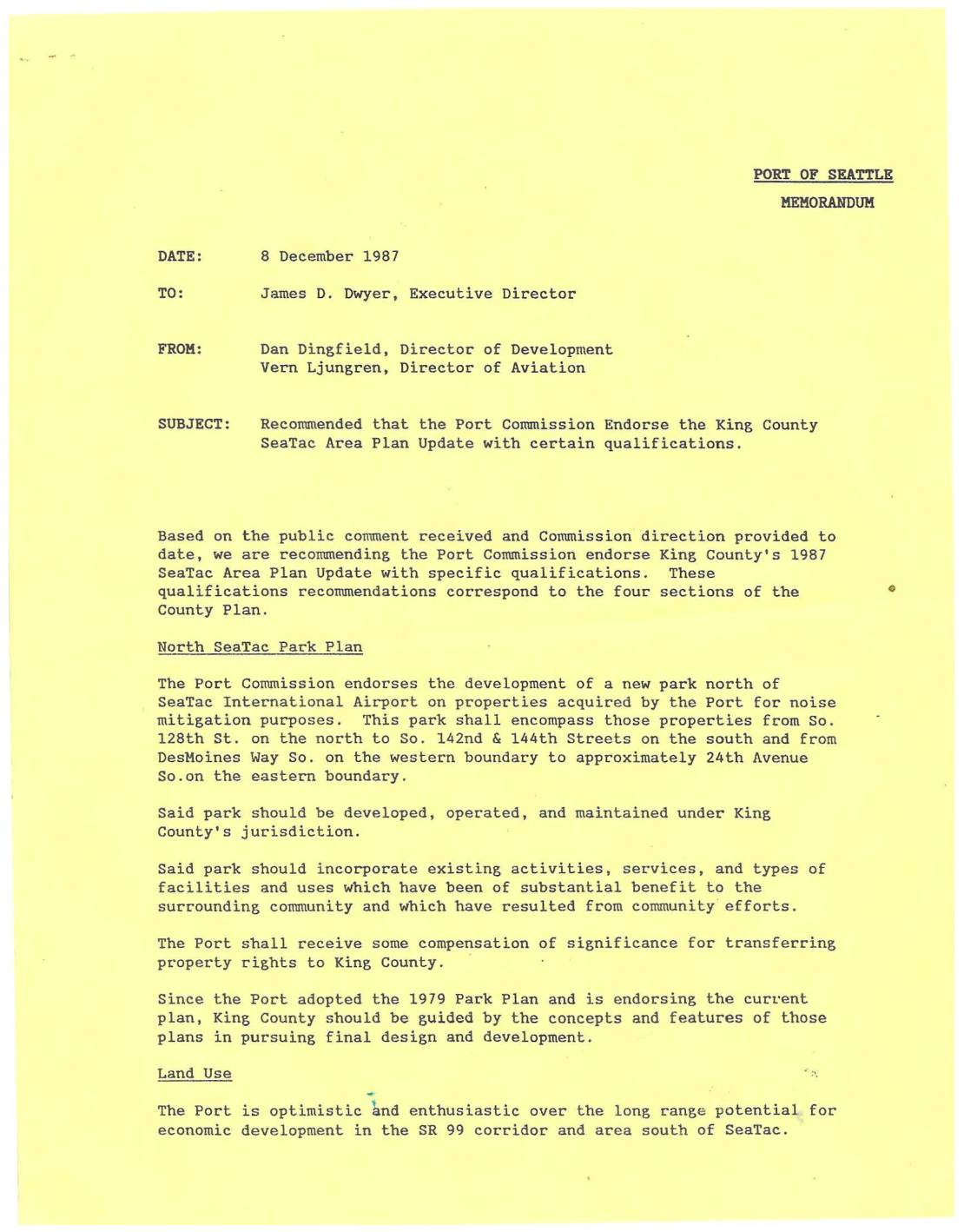
Recommended that the Port Commission endorse the King County Sea-Tac Area Plan Update with certain qualifications
In a December 1987 internal memorandum, Port of Seattle development and aviation directors recommended that the Port Commission endorse King County's SeaTac Area Plan Update with specific conditions. Key qualifications included transferring noise-mitigation properties north of the airport to King County for a new public park, supporting south airport access road development contingent on an Interstate 5 connection, and endorsing plans for a Veterans Cemetery. The Port also urged King County to remain flexible on land use designations if community-driven proposals proved more beneficial to neighboring residents and property owners. -
 1985-09-01
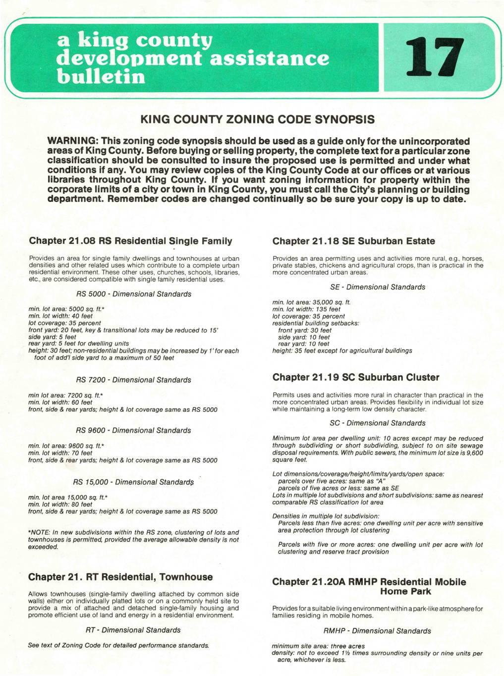
King County Zoning Code Synopsis
This King County Development Assistance Bulletin (No. 17, dated September 1985) provides a synopsis of zoning classifications for unincorporated areas of King County, Washington, covering residential, agricultural, and general land-use zones along with their dimensional standards such as minimum lot sizes, setbacks, height limits, and lot coverage. It includes a chapter on Airport Open Use (AOU) zoning, which governs development in areas affected by major airports to ensure compatibility with neighboring residential areas and airport clear zone requirements. The bulletin also outlines procedures for obtaining zoning information, requesting written verification, and applying for zone changes.