TagLand Use(212)
-
 1984-08-28
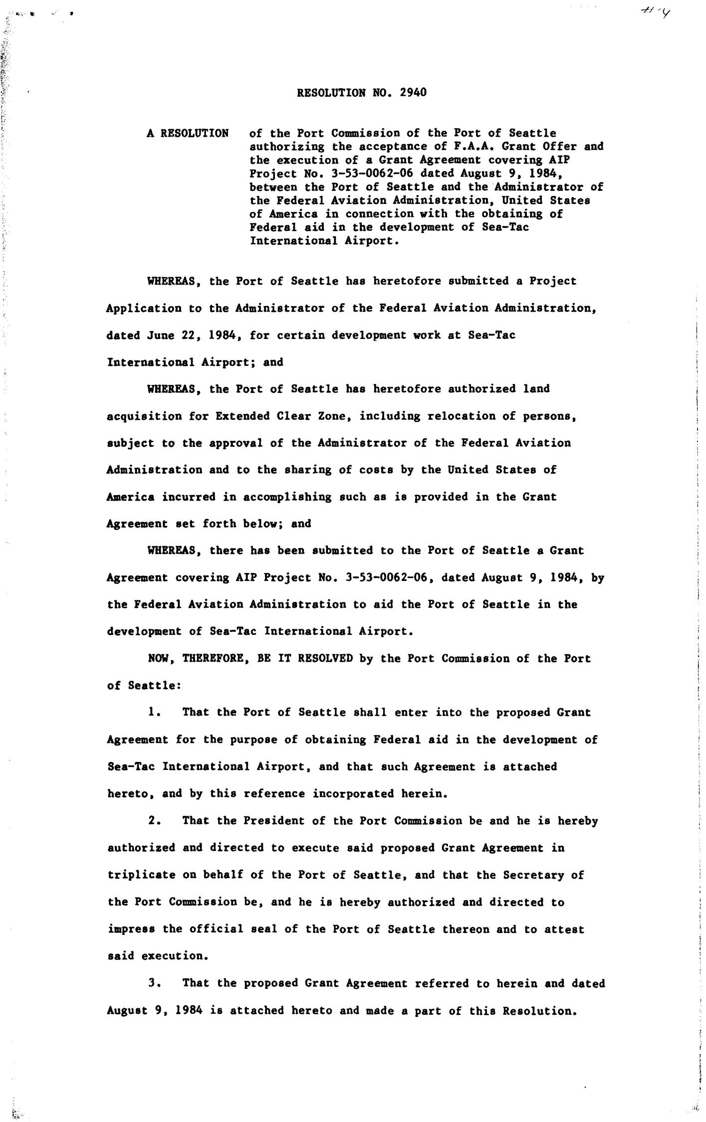
Commission Resolution no. 2940 FAA Grant AIP Clear Zone land acquisition
A resolution authorizing the Port of Seattle to accept an FAA grant offer and execute Grant Agreement for AIP Project No. 3-53-0062-06 to obtain federal aid for Sea-Tac International Airport development, specifically for land acquisition in Extended Clear Zone areas and relocation of persons. The resolution was adopted by the Port Commission on August 28, -
 1984-05-11
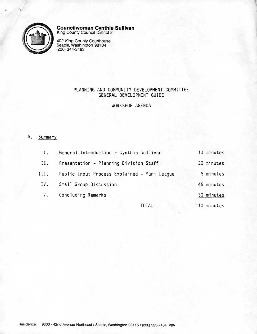
Planning and Community Development Committee General Development Guide Workshop Agenda
This document outlines the workshop agenda for the King County Planning and Community Development Committee's General Development Guide, chaired by Councilwoman Cynthia Sullivan of District 2. The 110-minute session included a staff presentation, a Muni League-led explanation of the public input process, and small group discussions where residents were asked to share community concerns with the Council. Citizens selected from small groups reported back their findings, followed by brief public comments and concluding remarks from Sullivan. -
 1984-04-16
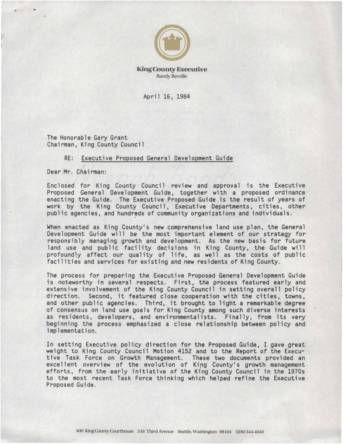
Executive Proposed General Development Guide
Letter from King County Executive Randy Revelle to Council Chairman Gary Grant presenting the Executive Proposed General Development Guide for review and approval. King County Council Motion 4152. The letter outlines the comprehensive land use plan’s principles for managing growth and development in King County, emphasizing protection of natural features, encouraging growth in existing cities, -
 1984-04-01
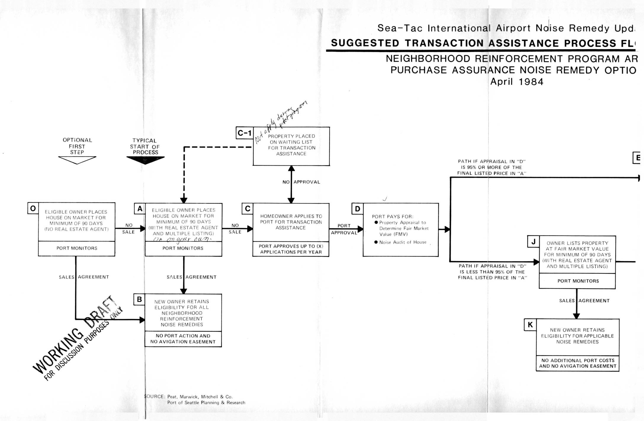
Suggested transaction assistance process flow diagram: Neighborhood Reinforcement Program area, purchase assurance noise remedy option
This April 1984 working draft outlines the Port of Seattle's suggested process for helping eligible homeowners near Sea-Tac International Airport sell their properties under the Neighborhood Reinforcement Program's Purchase Assurance Noise Remedy Option. Homeowners first list their homes on the market for a minimum of 90 days, and if unsold, may apply to the Port for transaction assistance, which can include a property appraisal, noise audit, mortgage subsidies, and partial real estate fee coverage. Depending on how the appraisal compares to the final listed price, the Port may acquire an avigation easement, assist with the sale, or ultimately purchase the property itself and market it for resale. -
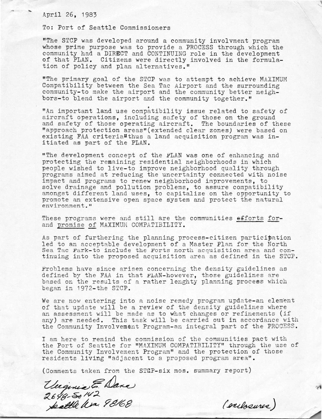 1983-04-26
Letter to Port Of Seattle Commissioners regarding STCP and community compatibility
In this April 1983 letter to Port of Seattle Commissioners, a community representative reminds officials of their commitment to 'Maximum Compatibility' between Sea-Tac Airport and surrounding neighborhoods, as established through the Sea-Tac Communities Plan (STCP) begun in 1972. The letter emphasizes that citizens were promised a direct, continuing role in planning decisions—including land acquisition for safety zones and noise reduction programs—through a formal Community Involvement Process. The author calls on the commission to honor that commitment as they enter a new noise remedy program update that will reassess density guidelines near the airport. -
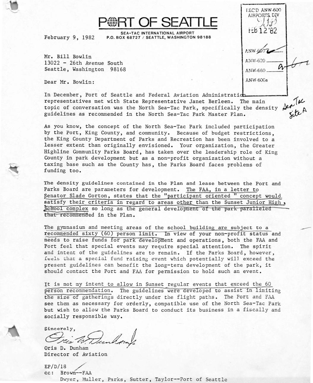 1982-02-09
Letter to Bill Bowlin regarding North Sea-Tac Park density guidelines
A February 9, 1982 letter from Port of Seattle Director of Aviation Oris D. Dunham to Bill Bowlin addresses density guidelines for the North Sea-Tac Park, located under flight paths at Sea-Tac International Airport. The letter clarifies that the gymnasium and meeting areas of the former Sunset Junior High School complex are subject to a recommended 60-person limit to reduce noise impacts on gatherings beneath the flight paths. However, the Port and FAA indicated they would consider granting special permission for the Greater Highline Community Parks Board to exceed that limit for one-time fundraising events benefiting long-term park development. -
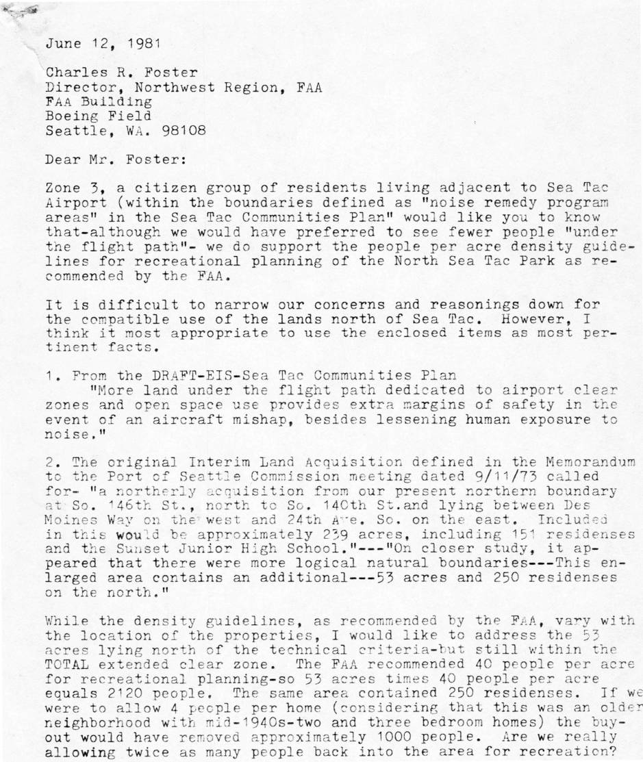 1981-06-12
Letter from Zone 3 residents to FAA Director Charles Foster regarding Noise Density Guidelines
In a June 1981 letter to the FAA's Northwest Regional Director, Zone 3 citizen group representative Virginia E. Dana expresses qualified support for the FAA's recommended people-per-acre density guidelines for recreational use of North Sea-Tac Park, while raising concerns about safety and population exposure under flight paths. The letter highlights that the proposed recreational density of 40 people per acre across 53 acres could allow up to 2,120 people in an area from which only roughly 1,000 residents were displaced through the airport's land buyout program. Dana urges continued attention to airport safety criteria and environmental protection for communities living adjacent to Sea-Tac Airport. -
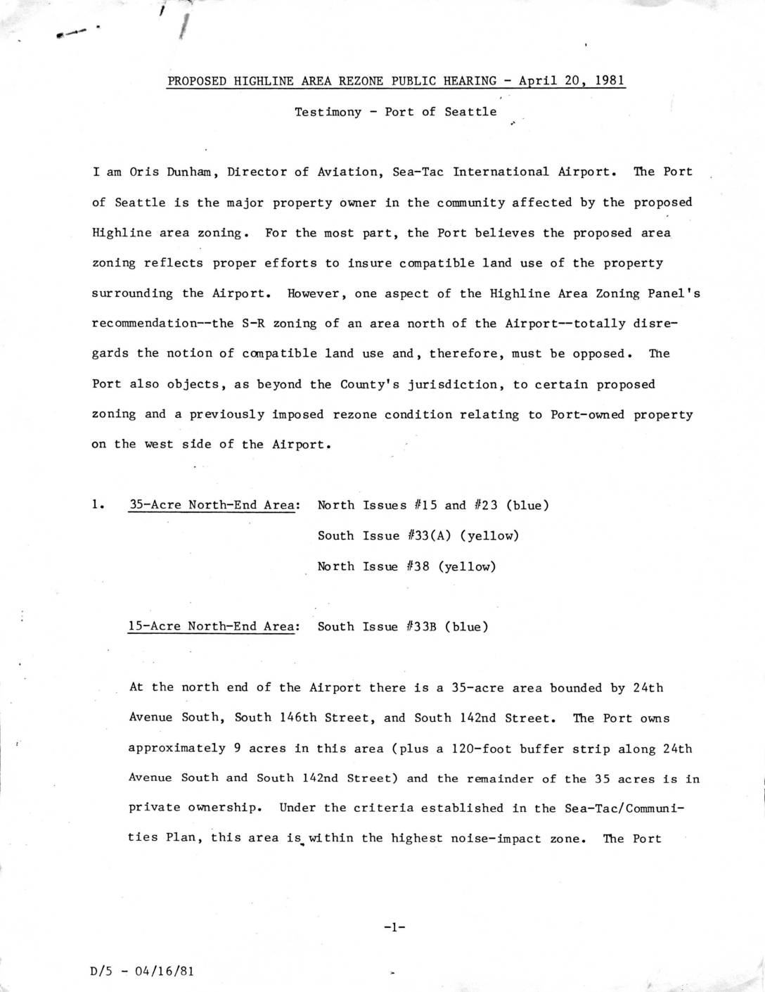 1981-04-20
Proposed Highline Area Rezone Public Hearing – Port of Seattle Testimony
In April 1981, the Port of Seattle testified at a public hearing opposing proposed residential (S-R) zoning for areas north of Sea-Tac International Airport, arguing the land falls within the highest aircraft noise impact zone and cannot legally or practically be developed for housing. The Port contended that rezoning these parcels to light manufacturing (M-L) was consistent with the Sea-Tac/Communities Plan and supported by a court ruling finding that residential zoning in such noise-impacted areas is arbitrary and unrealistic. The testimony also challenged the County's authority to impose certain zoning conditions on Port-owned property on the airport's west side. -
 1981-01-27
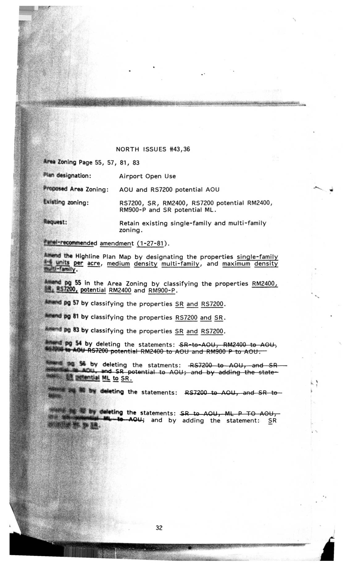
HCP North Issues #43, 36, 57, 81, 83 – Airport Open Use Zoning
Zoning amendment document for Highline area properties regarding Airport Open Use designation. Details proposed changes from existing single-family and multi-family zoning classifications to AOU and RS7200 potential AOU, with specific amendments to Area Zoning pages 55, 57, 81, and 83. -
 1981-01-27
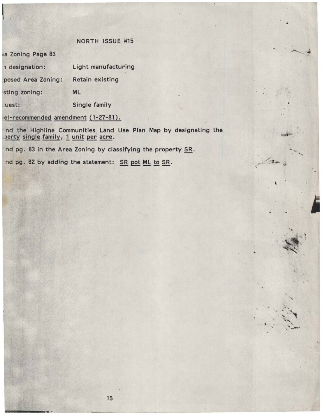
North Issue #15: Highline Communities Land Use Plan Map Zoning Amendment
North Issue #15 addresses a zoning change proposal for a property in the Highline Communities area near Sea-Tac Airport. The property, currently zoned ML (Light Manufacturing), was the subject of a panel-recommended amendment dated January 27, 1981, proposing a reclassification to SR (Single Family Residential) at a density of one unit per acre. The recommended changes would update both the Highline Communities Land Use Plan Map and the Area Zoning pages to reflect the shift from industrial to single-family use.