TagKing County(422)
-
 2022-01-01
A Property Value Study for King County and Port Affected Areas
A property value study prepared by Saundra Mock of John L. Scott Real Estate examines how home values in King County and areas affected by Sea-Tac Airport air traffic compare to surrounding communities without an air traffic freeway overhead. Using data from the Northwest Multiple Listing Service, the study presents maps, zip codes, and median home values for affected and unaffected cities in the Seattle area, allowing readers to draw their own conclusions about the impact of airport noise on local real estate. -
 2022-01-01
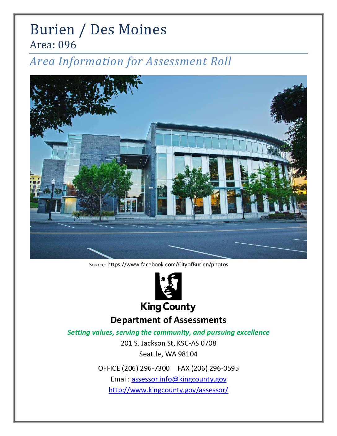
Burien / Des Moines Area 096: Area Information for Assessment Roll
King County Department of Assessments area information report for Assessment Roll Area 096, covering Burien and Des Moines, Washington. The report describes boundaries, area description, and four sub-areas: Sub Area 1 (southwest of Sea-Tac Airport, within SeaTac and Des Moines/Burien city limits, near Hwy 99 and I-5, Angle Lake Station); Sub Area 2 (downtown Burien, -
 2021-12-08
King County 2021 Districting Plan Map
This document presents King County's 2021 Districting Plan, adopted December 8, 2021, showing the boundaries of the county's nine council districts as mapped by the King County GIS Center. The map covers the greater Seattle metropolitan area, including surrounding cities and unincorporated areas, with district lines redrawn following the 2020 census. The plan establishes the geographic representation boundaries used for King County Council elections going forward. -
 2021-11-01
Lake to Sound Trail – Segment C Sea-Tac: Contract KC000383 Contract Plans
This document contains the contract plans for the Lake to Sound Trail – Segment C in SeaTac, Washington, covering the trail corridor from S 200th Street to the 8th Avenue S / Des Moines Memorial Drive intersection in King County. The project, managed by the King County Department of Natural Resources and Parks, includes engineering drawings for trail construction elements such as boardwalks, drainage, signage, and intersection improvements within the city limits of SeaTac and Burien. The conformed drawings, dated November 2021, were prepared by Parametrix engineering and reflect updates from project addenda. -
 2021-10-19
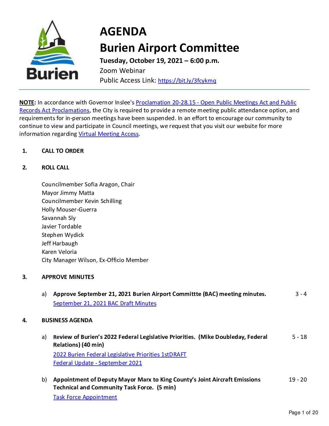
Burien Airport Committee agenda – October 19, 2021
The Burien Airport Committee held meetings in September and October 2021 to discuss issues related to Seattle-Tacoma International Airport, including a review of Burien's 2022 federal legislative priorities, an update on the Port of Seattle's delayed Sustainable Airport Master Plan (SAMP), and the appointment of Deputy Mayor Krystal Marx to King County's Joint Aircraft Emissions Technical and Community Task Force. The committee also received a presentation on Burien zoning and land use near the airport, covering the Northeast Redevelopment Area, and planned future discussions on noise insulation programs and community corridor plans. -
 2021-09-21
Burien Airport Committee agenda, September 21, 2021
The Burien Airport Committee held meetings in August and September 2021 to discuss issues related to Seattle-Tacoma International Airport and its impact on the surrounding community. Topics included a presentation on sustainable aviation fuels and noise reduction research from WSU's ASCENT center, a review of Burien zoning and land use near the airport, and an appointment to King County's Joint Aircraft Emissions Technical and Community Task Force. The committee also reviewed federal aviation policy updates and discussed stakeholder advisory roundtable activities related to Sea-Tac Airport operations. -
2021-06-14
Clearing the air
Brooke Fisher UW researchers, including professor Tim Larson, uncover previously unknown hazards of aircraft pollution The impacts of air pollution on communities living near airports are no longer up in the air, thanks to breakthrough research that has not only identified the previously unmeasured footprint of aircraft-originating air pollution, but has started to unravel public -
 2021-05-14
Port Of Seattle Equity Index user guide and FAQs
The Port of Seattle Equity Index is an interactive online mapping tool that displays community indicators—such as race, livability, accessibility, and education—across King County, Washington. Developed by Community Attributes Inc. for the Port's Office of Diversity, Equity, and Inclusion, it allows users to explore data by city, address, or custom-drawn area to better understand factors affecting equity and access to opportunity. The tool is intended to support decision-making, strategic planning, and community engagement, though it does not represent an exhaustive picture of all equity-related community characteristics. -
 2021-05-01
King County 2020 Strategic Climate Action Plan
King County's 2020 Strategic Climate Action Plan (SCAP), published in May 2021, outlines the county's strategies for reducing greenhouse gas emissions, supporting frontline communities, and preparing for climate change impacts. The plan covers areas including transportation, building energy, green infrastructure, food systems, housing, and environmental justice, with a strong emphasis on equity and community engagement. Note: this document addresses countywide climate policy and does not contain specific content related to Sea-Tac Airport noise policy. -
 2021-05-01
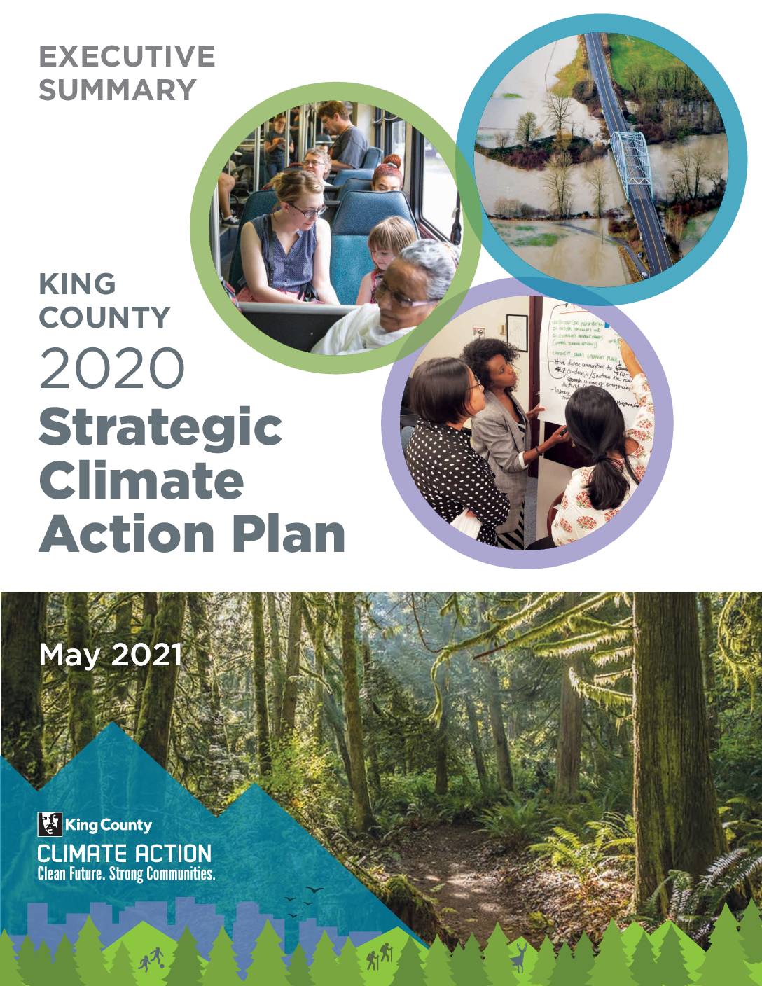
King County 2020 Strategic Climate Action Plan: Executive Summary
King County's 2020 Strategic Climate Action Plan (SCAP) is a five-year blueprint outlining the county's priorities for reducing greenhouse gas emissions and preparing for climate change impacts, with a strong emphasis on racial equity and frontline communities. The plan builds on accomplishments since the 2015 SCAP, including an 11 percent reduction in per-person emissions, expanded transit ridership, and increased green building certifications. It is updated every five years and guides collaboration across county departments, cities, community partners, and residents.